
Local hiking trail - L4
Local hiking trail - L4
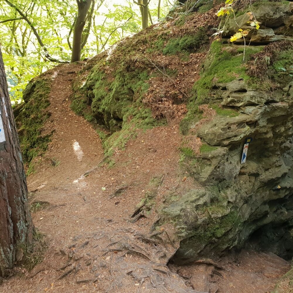
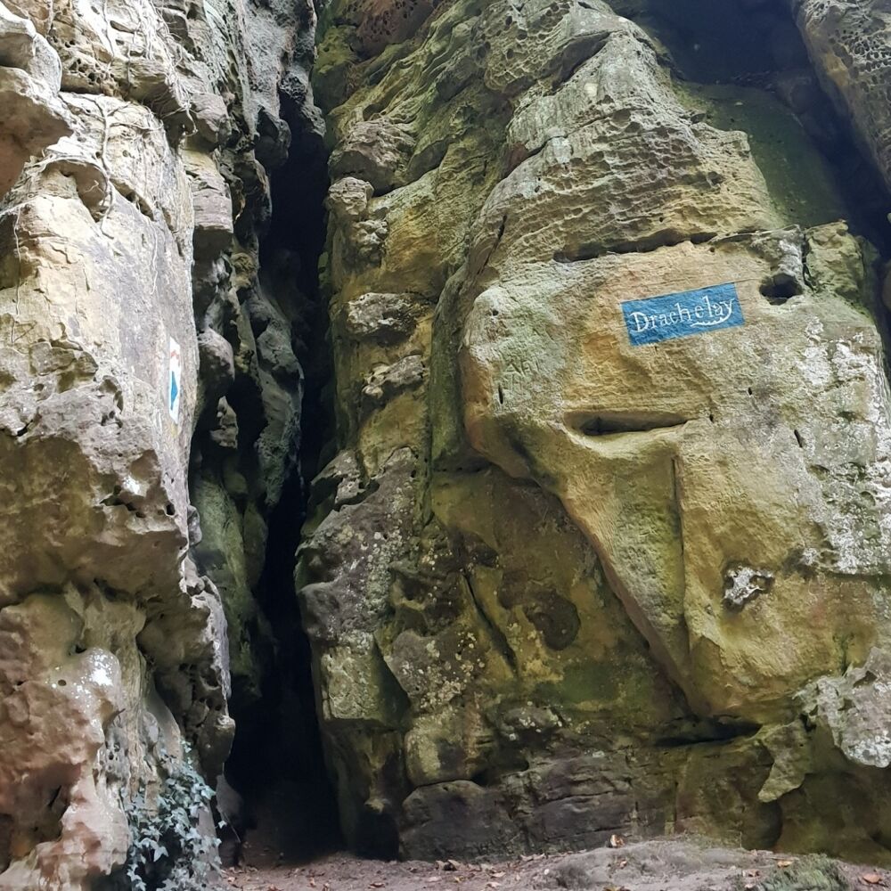
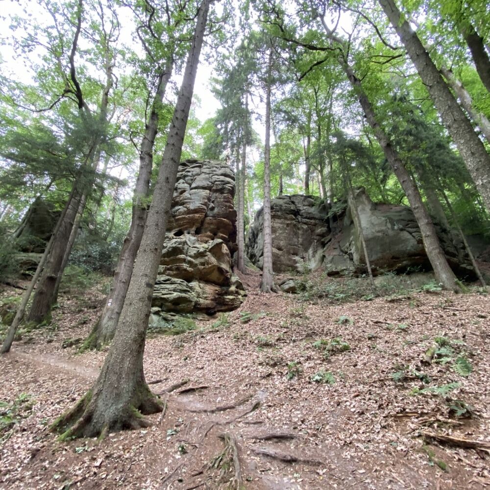
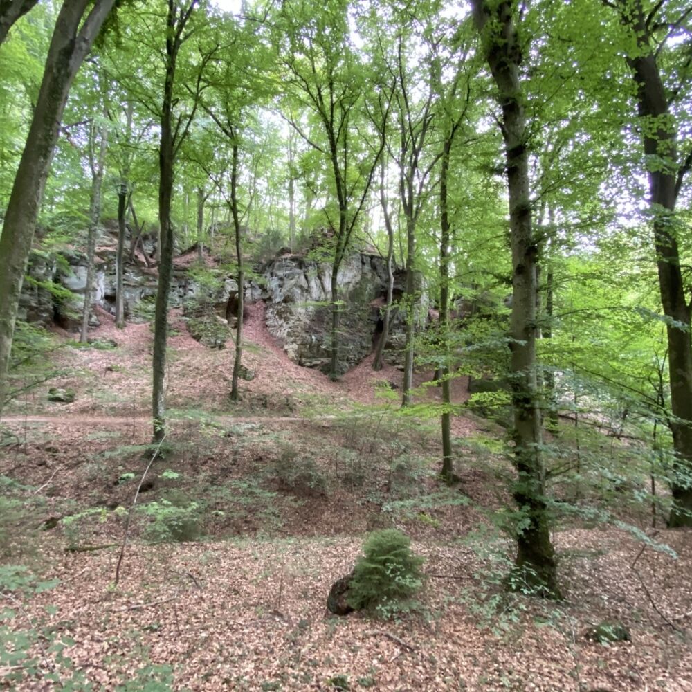
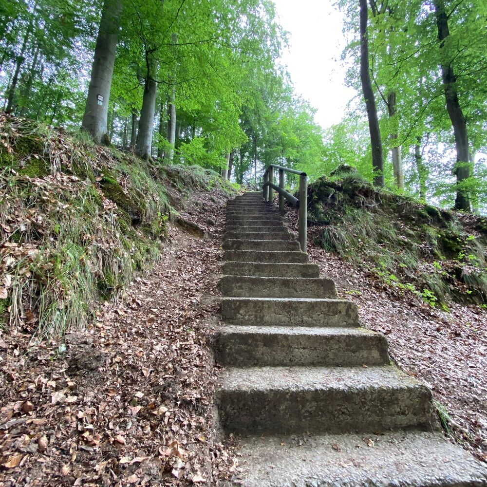
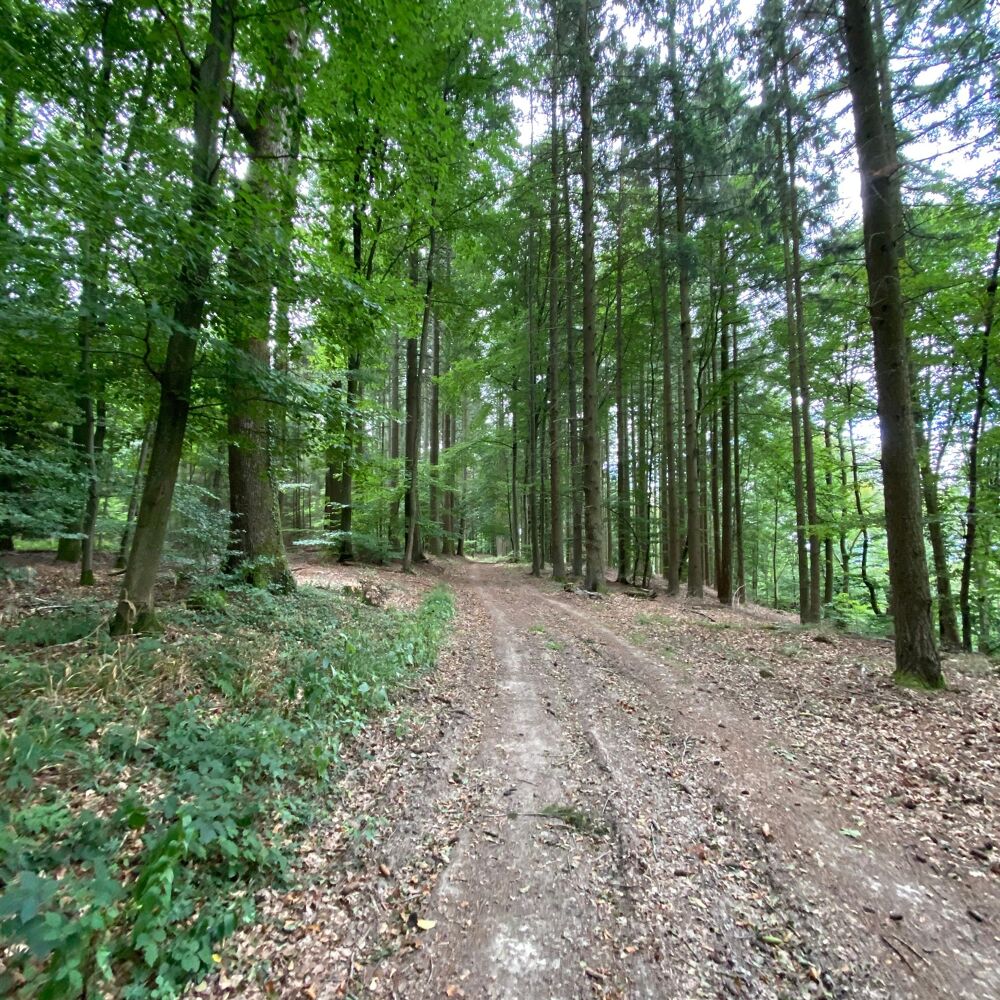
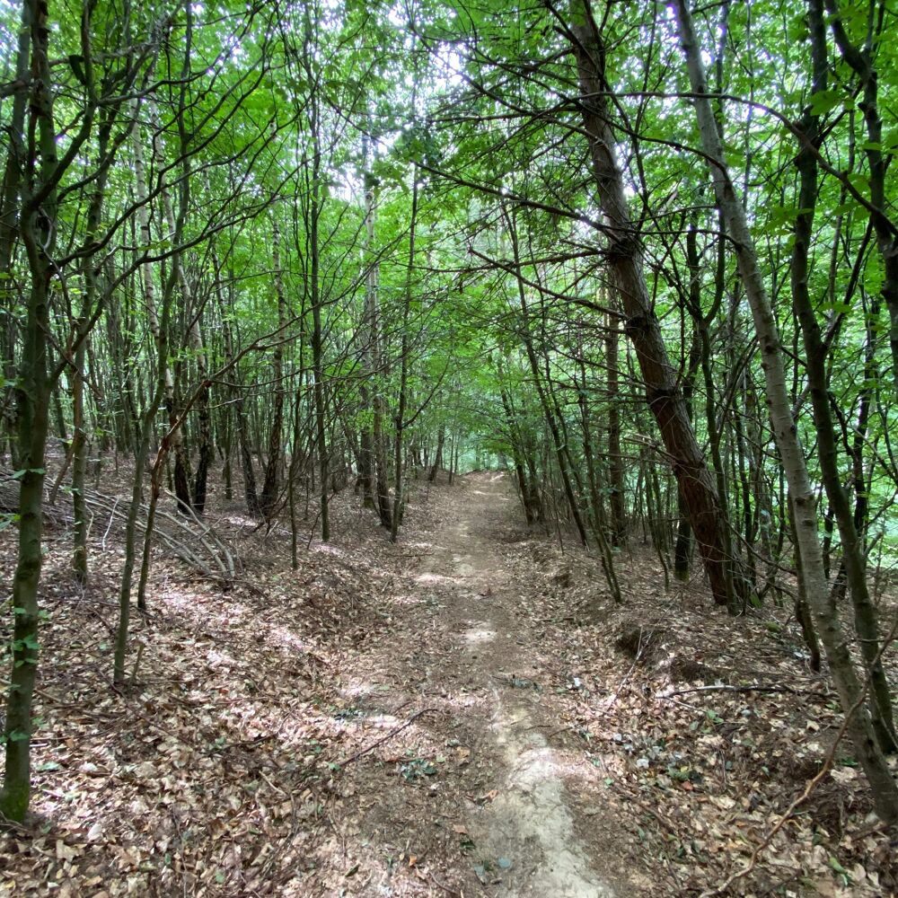
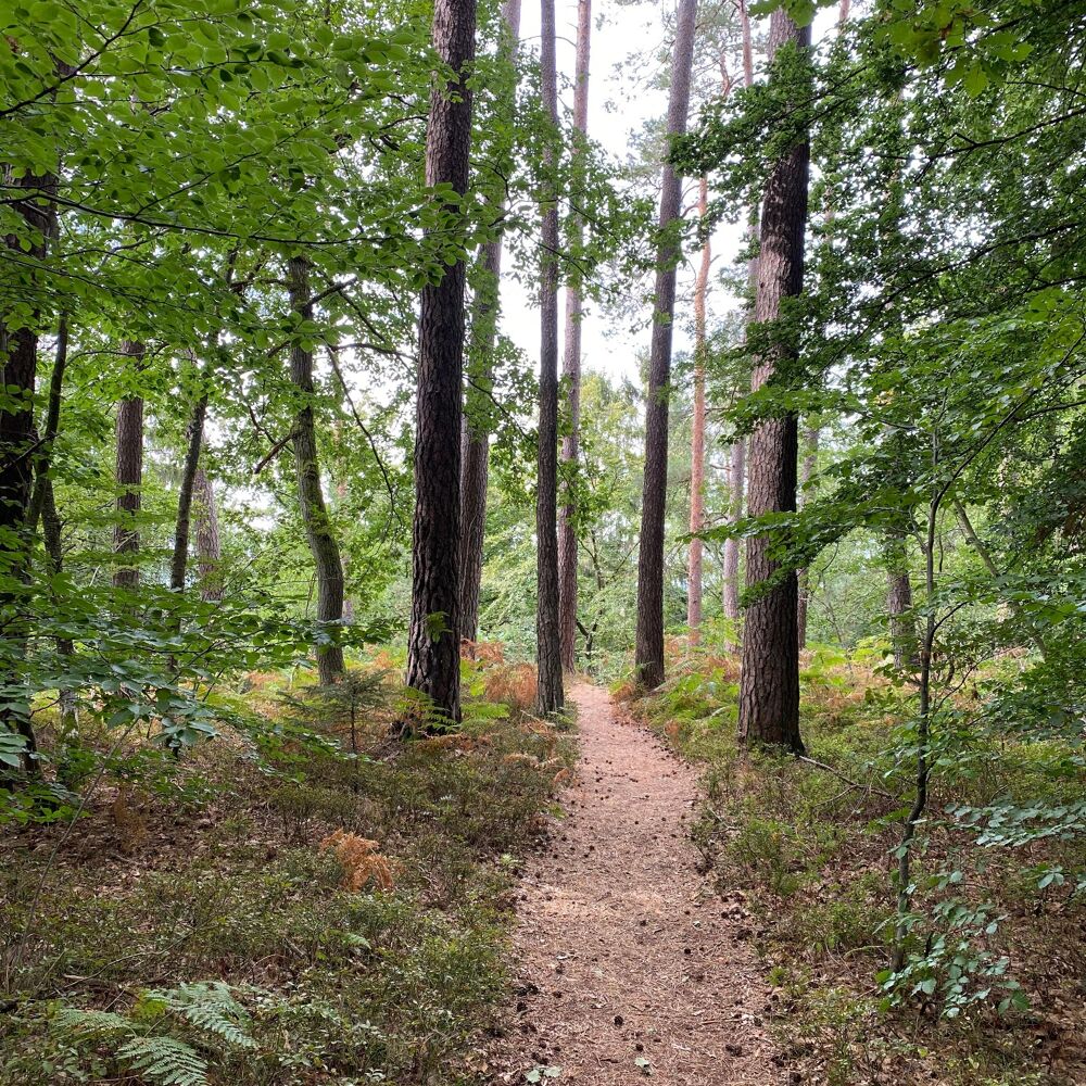
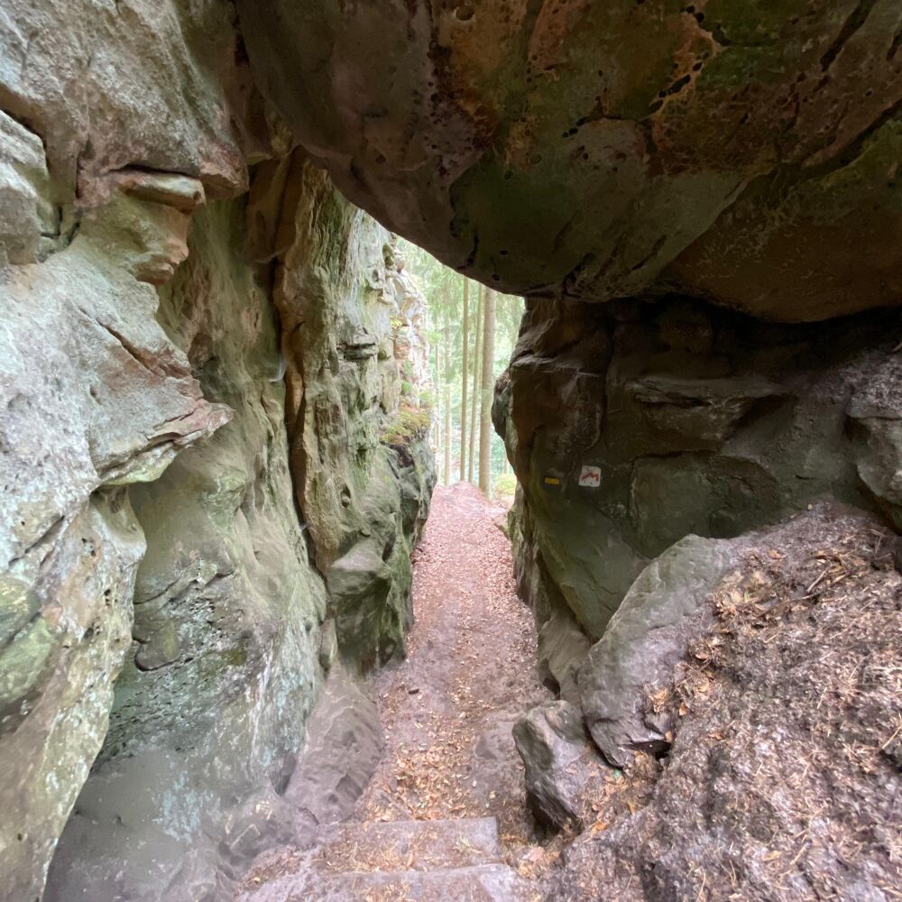
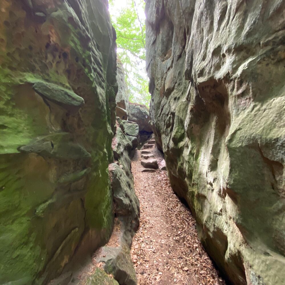
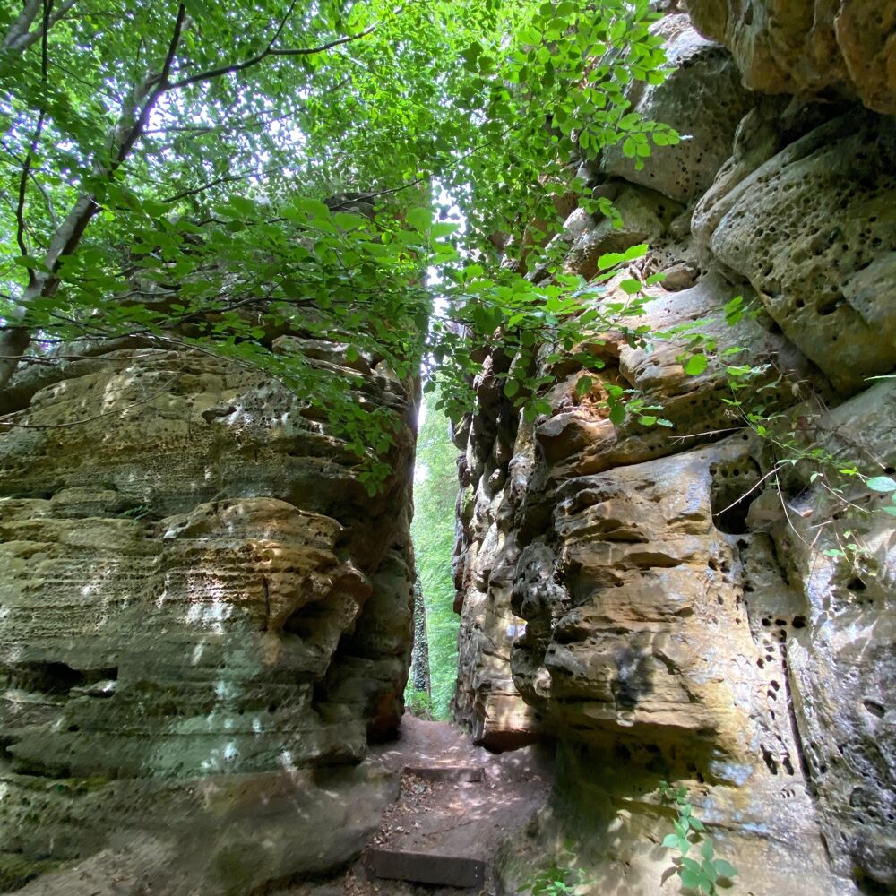
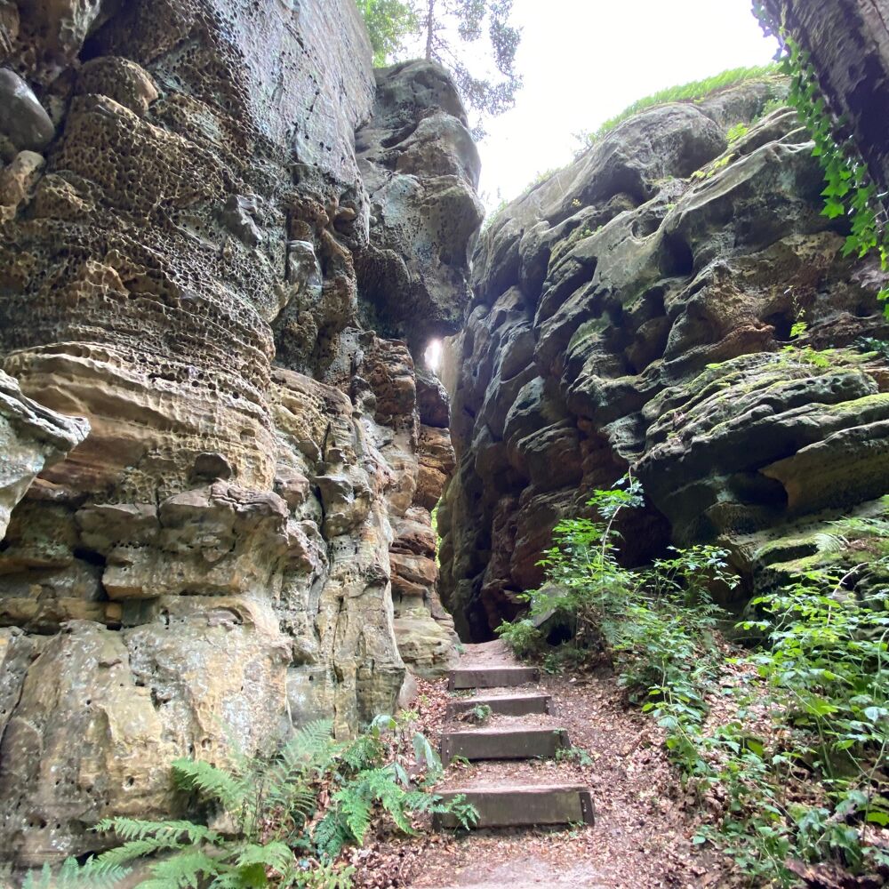
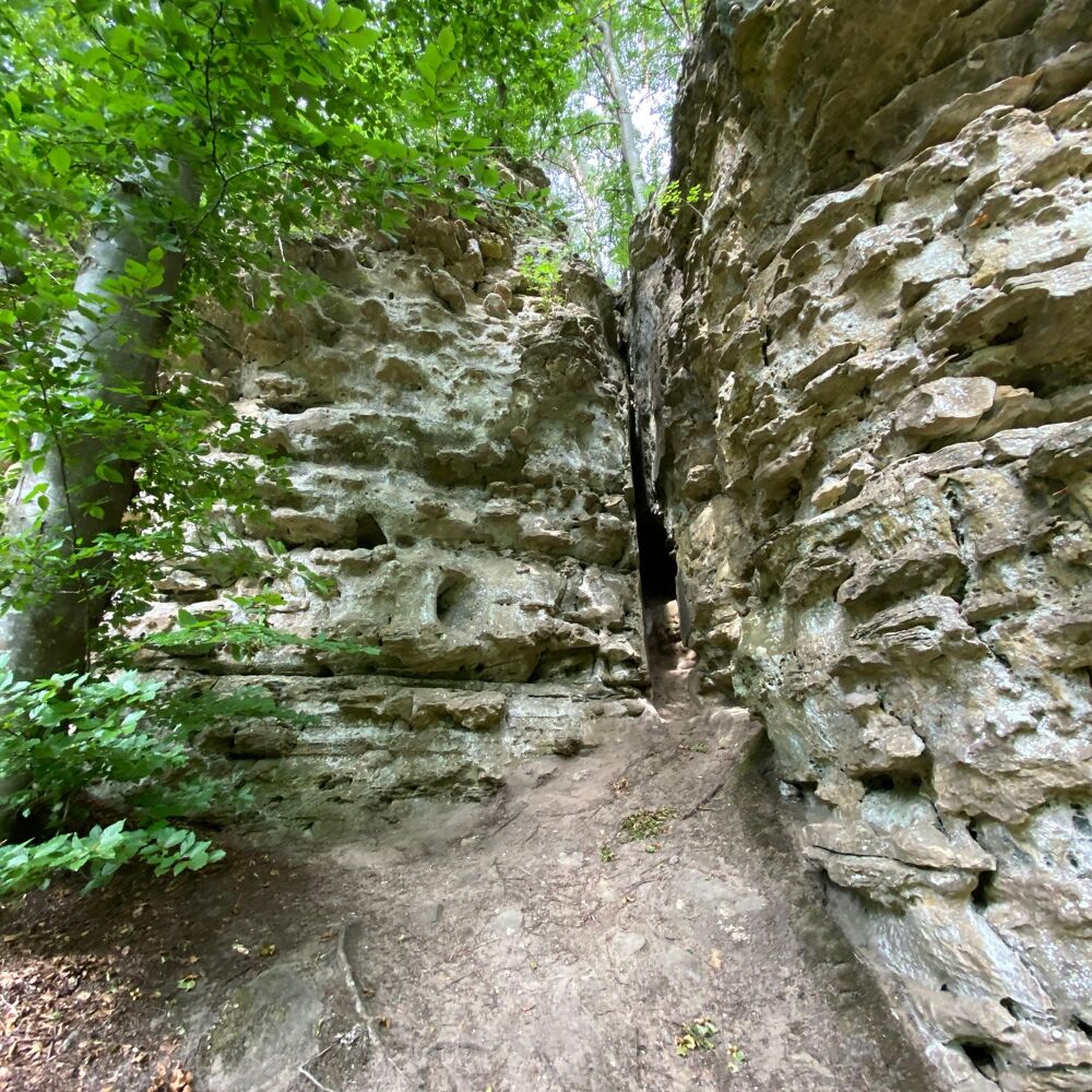
Adventurous hiking trail through the rocks of the Noumerleeën.
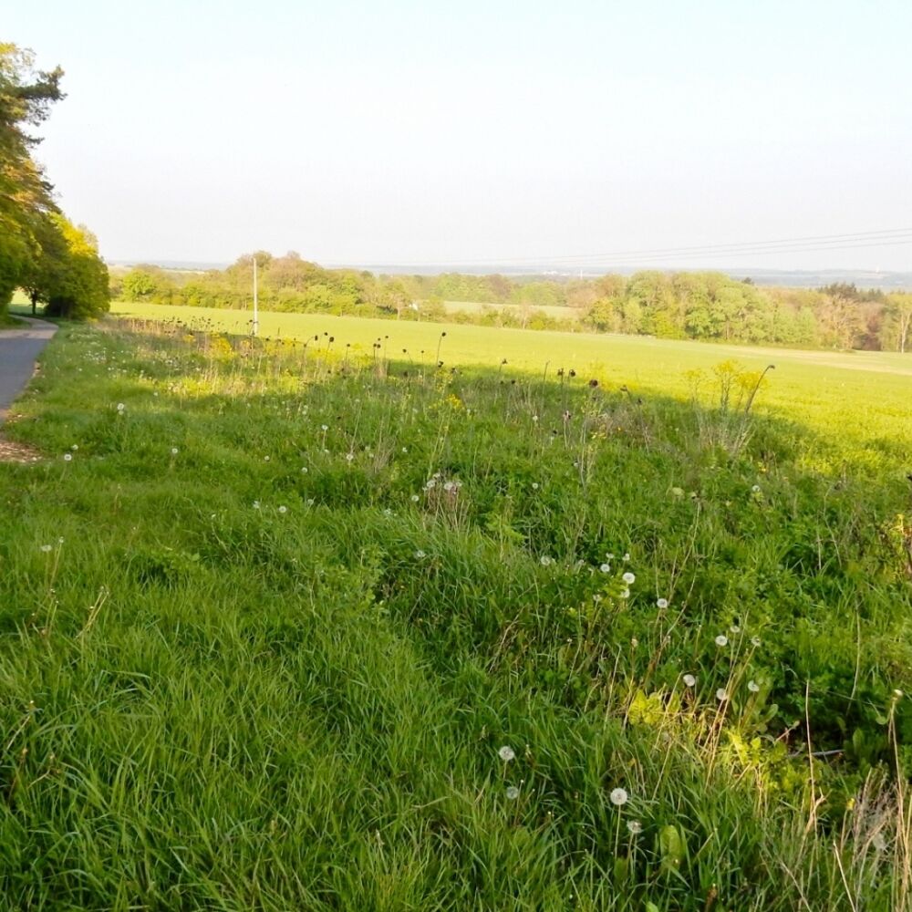
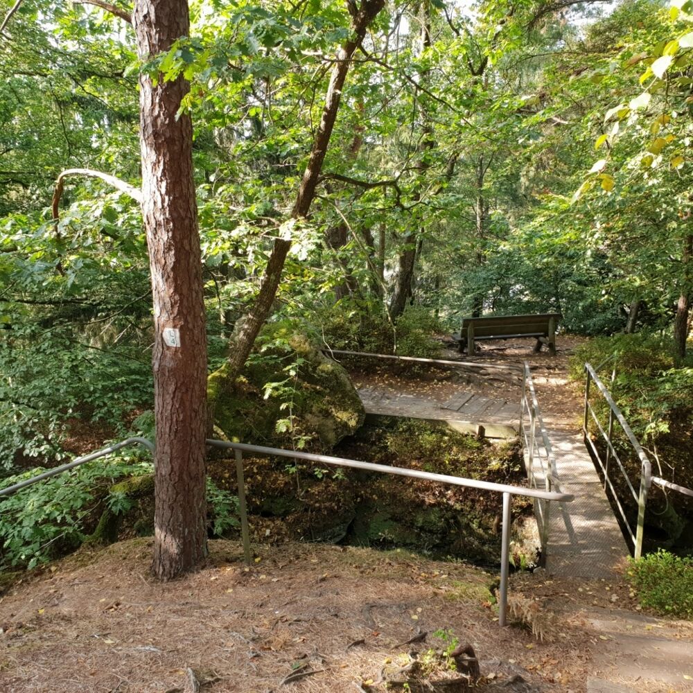
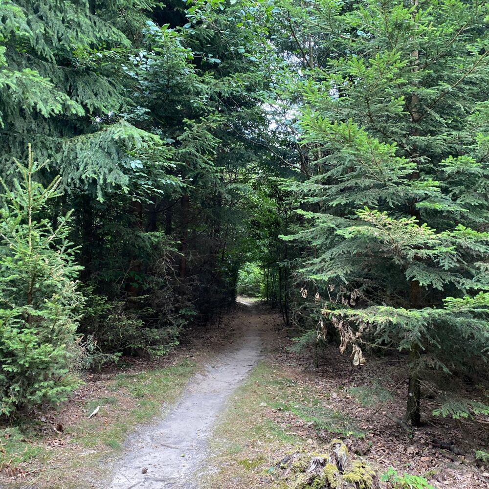
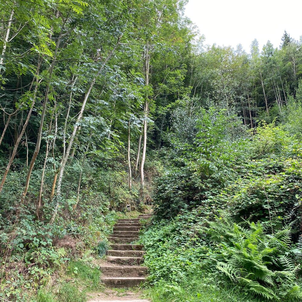
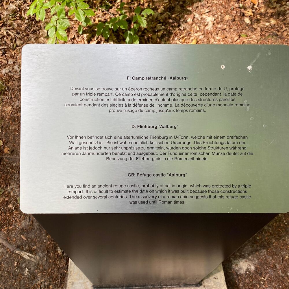
The trail starts at the tourist office, ascends to the Gudelterhaff and continues to the Noumerleeën. These beautiful rock formations are typical for the region of the Luxembourgish sandstone and show many different geological structures. You can see the remains of a refuge castle, the Alebuerg, as well as the traces of charcoal piles. Through the forest Knappbësch and passing close to a chapel, the trail leads to the Heisgeskräiz, assumedly the oldest wayside cross in Luxembourg. Passing nearby the castle, the trail leads back to the starting point.
Location
Larochette: Tourist Info
Contact
B.P. 152 | L-6402 Echternach
Tel. +352 72 04 57 1
E-mail : info@mullerthal.lu
Details
Departure : Larochette: Tourist Info
Arrival : Larochette: Tourist Info
Parking : A parking place is located directly at the starting point (Schongfabrik 50 m).
Distance : 11,1 km
Time : 03h13
Difficulty :
Picture gallery


in the surroundings
show on the map

our partners


