
Mëllerdall UNESCO Global Geopark
Mëllerdall UNESCO Global Geopark
The 11 municipalities of Beaufort, Bech, Berdorf, Consdorf, Echternach, Fischbach, Heffingen, Larochette, Nommern, Rosport-Mompach and Waldbillig are part of the Nature & Geopark Mëllerdall since 2016. About 25.500 inhabitants live on 256 km ². Along the main roads, signs with the Nature & Geopark logo point to the region.
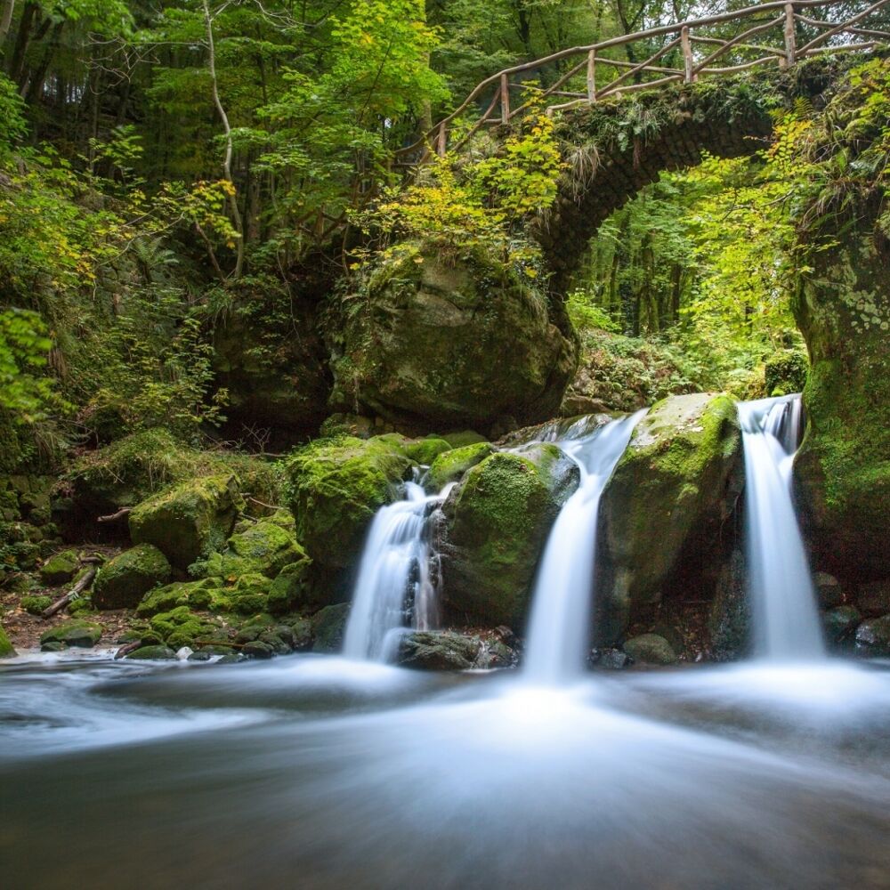
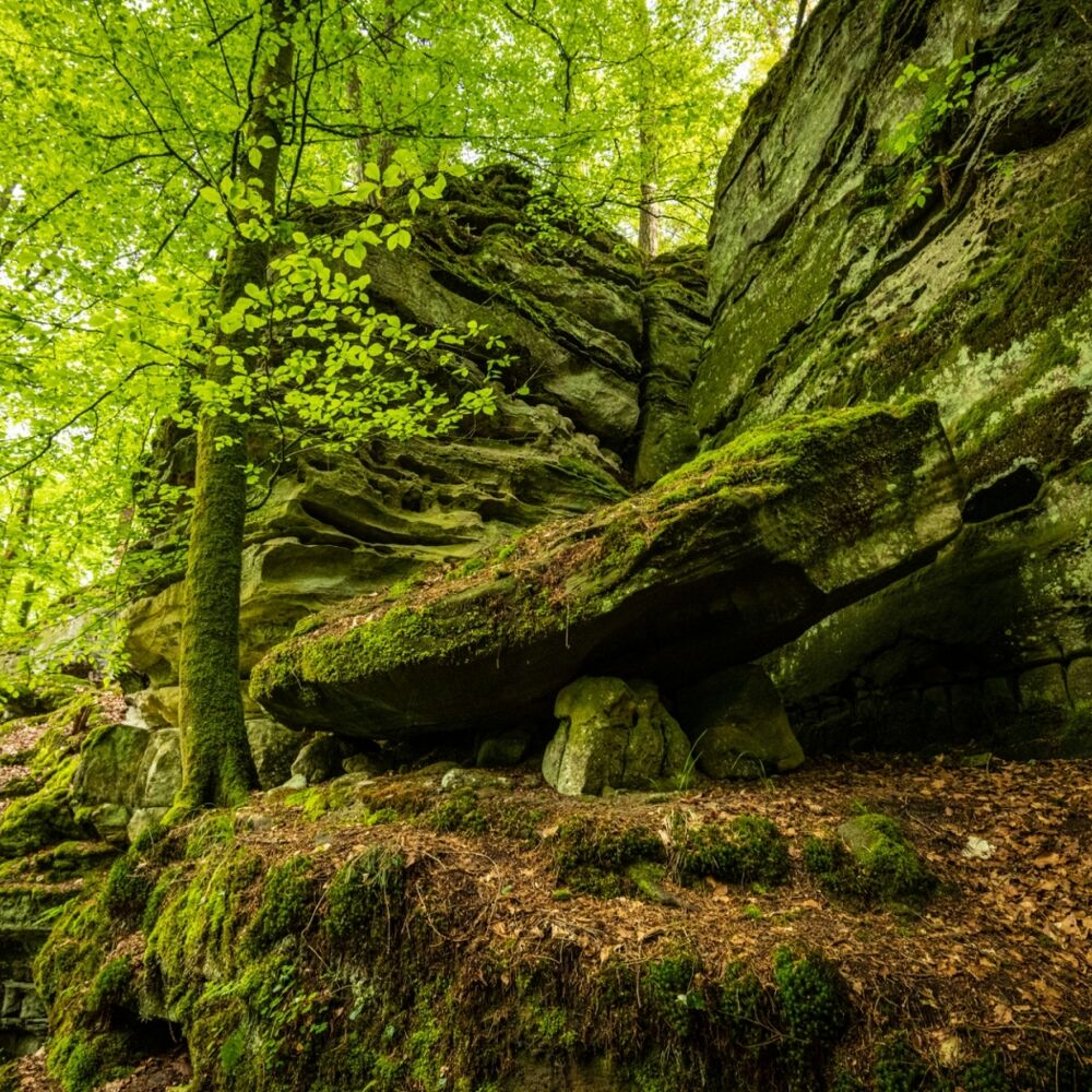
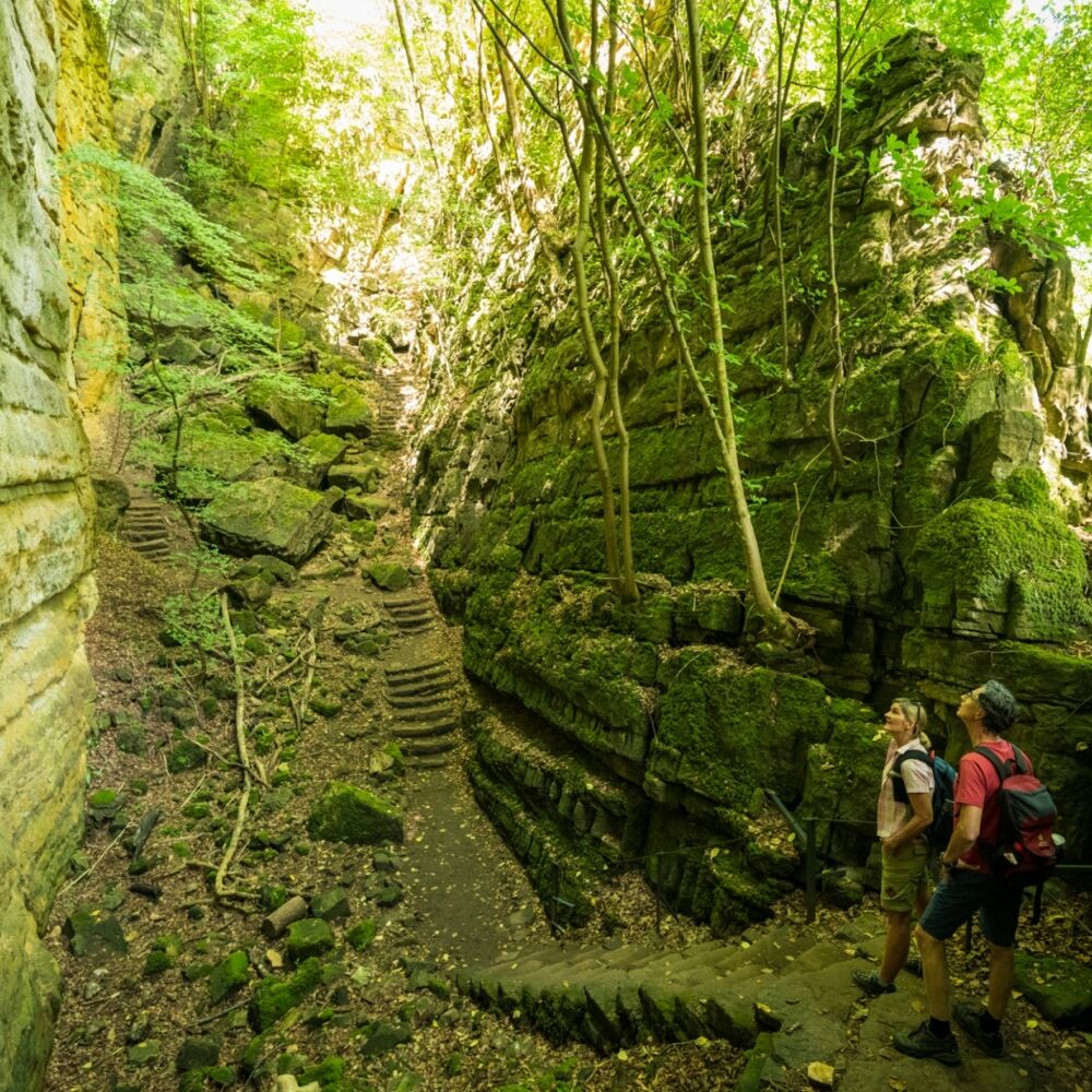
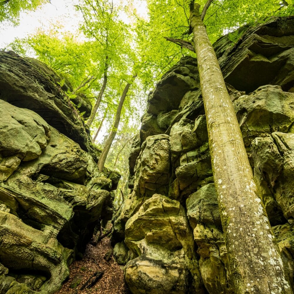
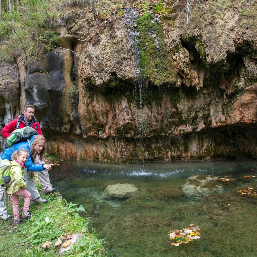
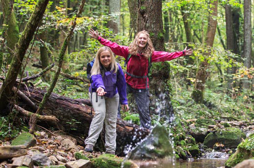
The Luxembourg law says that only regions with a particular cultural and natural heritage can become a nature park. Since the Mëllerdall Region has a specific geological heritage, it is also a geopark. Imposing rock formations, deep valleys and vast plateaus characterize this region, where the Luxembourg sandstone forms one of the most imposing sandstone landscapes in Western Europe. The Nature & Geopark promotes the sustainable use of this heritage while supporting the economic, social and ecological development. It strengthens regional cooperation and provides a platform for cross-border projects. The Nature & Geopark Mëllerdall stands for its inhabitants and is not a protected zone, a geology park or a park bounded by a fence.
The Mëllerdall UNESCO Global Geopark has also become a UNESCO World Heritage Site since 2022. The geological formations are unique and not for nothing UESCO-designated.

Location
8, rue de l'Auberge | L-6315 Beaufort
Tel. +352 26 87 82 91 1
E-mail : info@naturpark-mellerdall.lu
Opening times
Closing
The headquarters of the Natur- & Geopark Mëllerdall are not open to the public.
in the surroundings
show on the map
our partners


