
Geo-Pad Haupeschbaach and Halerbaach
Geo-Pad Haupeschbaach and Halerbaach
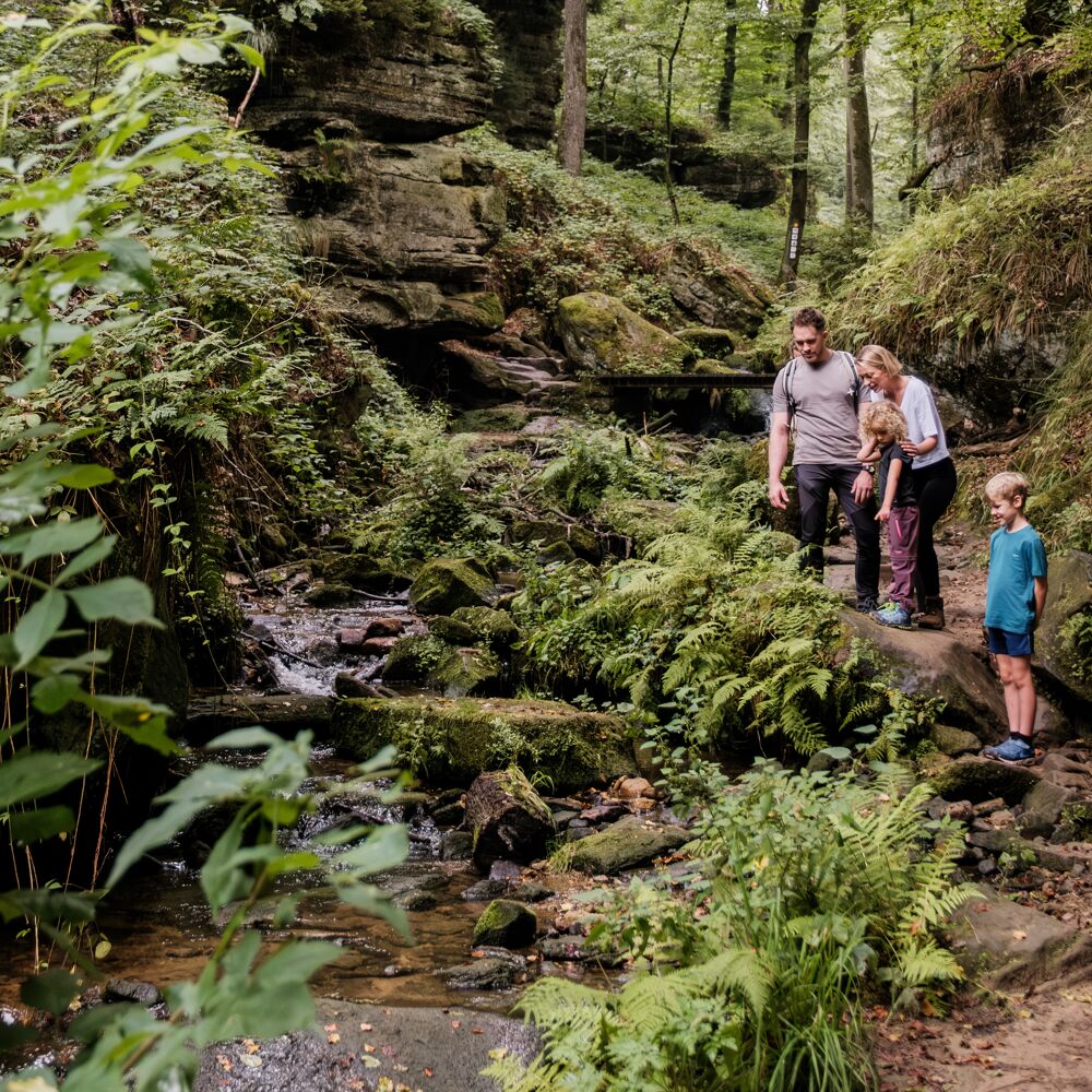
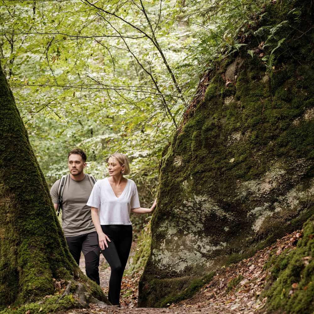
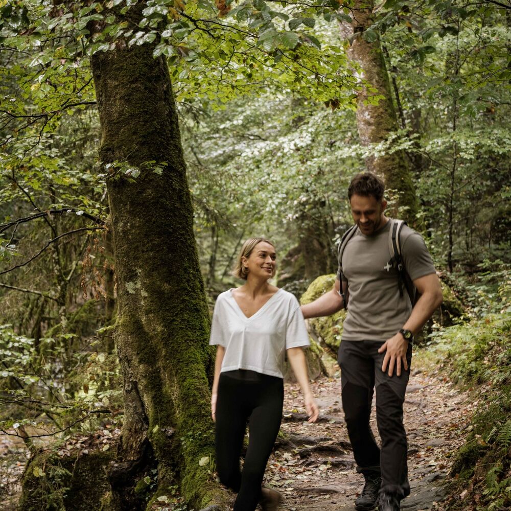
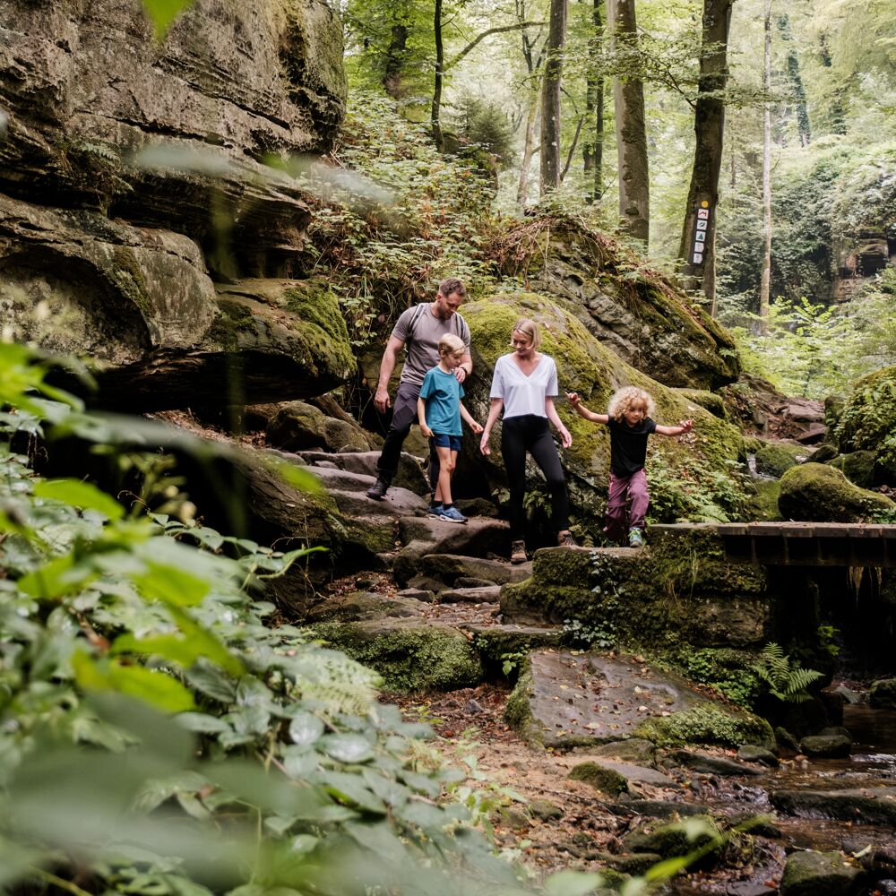
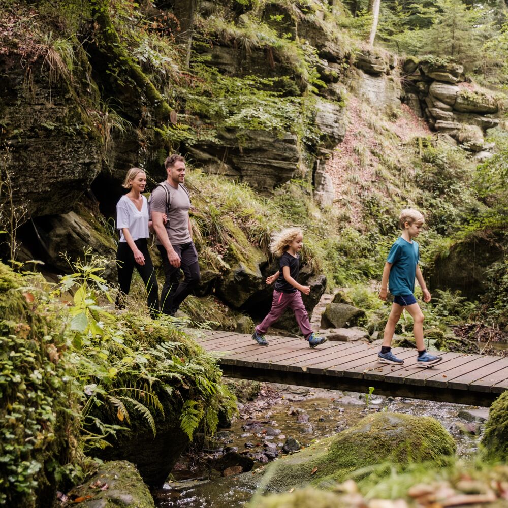
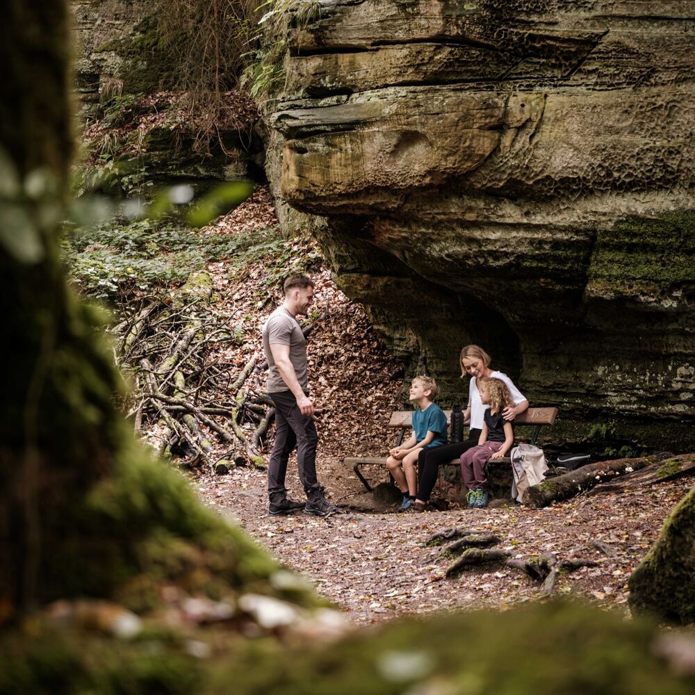
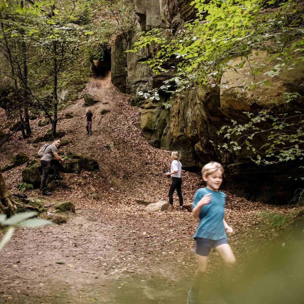
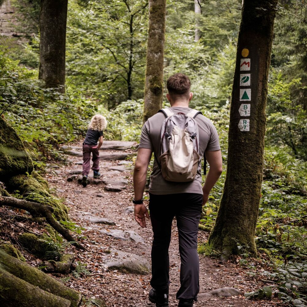
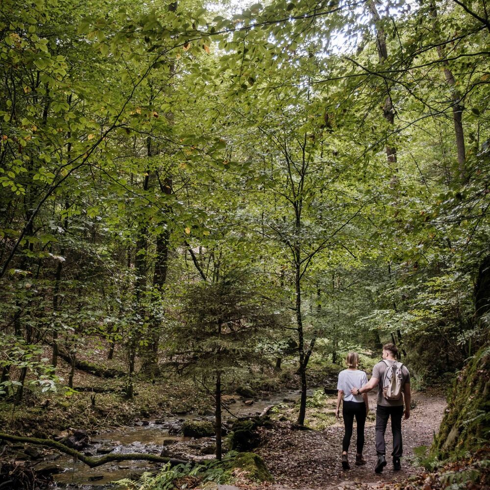
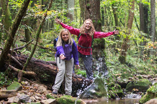
The nature trail stretches over a distance of about five kilometres and leads through the picturesque valleys of the Haupeschbach and the Halerbach.
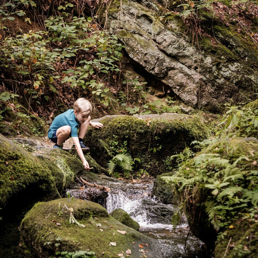
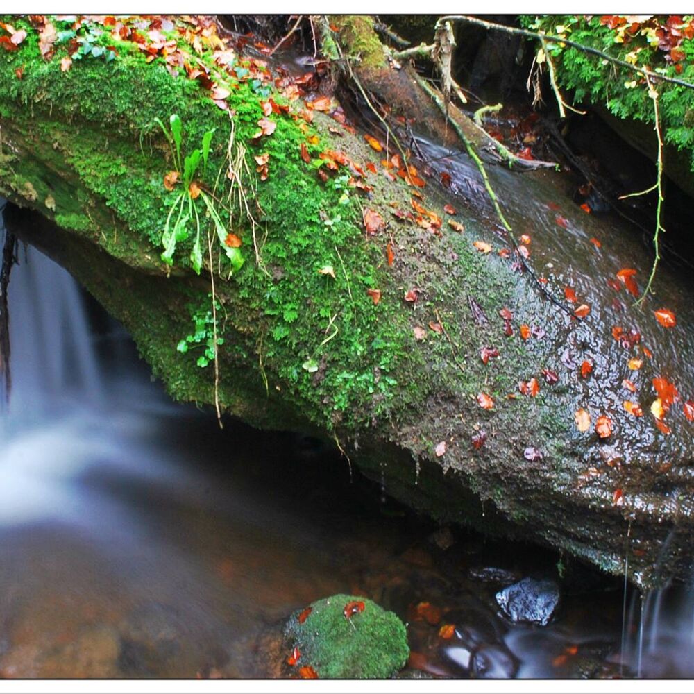
The nature trail leads for about 5 km through the valleys of the Haupeschbaach and the Halerbaach. It is marked with a fossil oyster ("devil's claw") which reminds us that our rocks were formed in a sea long time ago. The valley is an extremely valuable area: it is a Mëllerdall UNESCO Global Geopark geotope, part of the European Natura 2000 network of protected areas and has been on the list of national monuments since 1938.
The trail leads through the narrow valley in the Luxembourg sandstone, where question s about water may arise: What does water have to do with the formation of the sandstone? What processes can you observe in a stream today? What animals and plants live along the stream? Where does water come from and how do people use water and its power? You can get answers to all these questions during the hike.
Location
Beaufort: Parking Härewiss
Contact
8, Rue de l'Auberge | L-6315 Beaufort
Tel. +352 26 87 82 91-1
E-mail : info@naturpark-mellerdall.lu
Details
Departure : Beaufort: Parking Härewiss
Arrival : Beaufort: Parking Härewiss
Parking : Parking Härewiss (2, Rue de l'Église)
Distance : 4,9 km
Time : 02h00
Difficulty :
Picture gallery
in the surroundings
show on the map
our partners


