
Geo-Pad Hëlt
Geo-Pad Hëlt
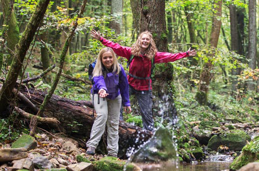
You will walk on narrow paths, witnesses of millions of years: The Geo-Pad Hëlt invites you to explore!
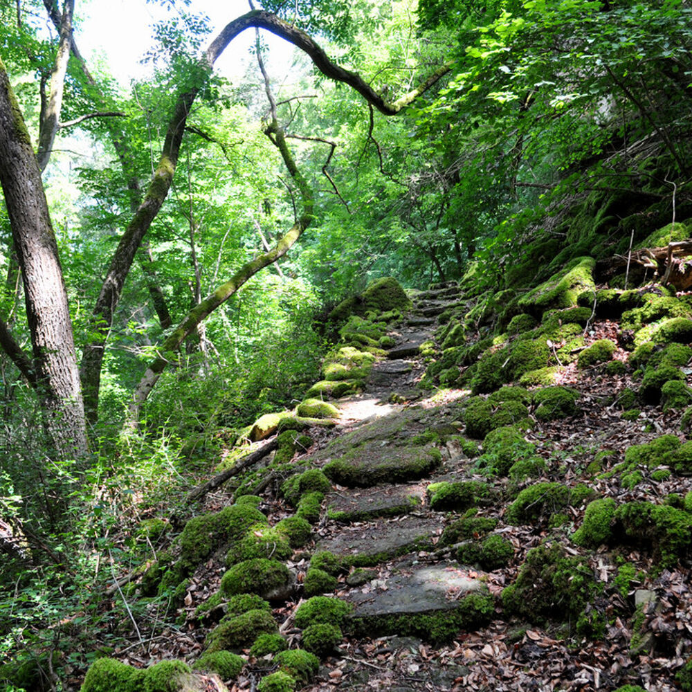
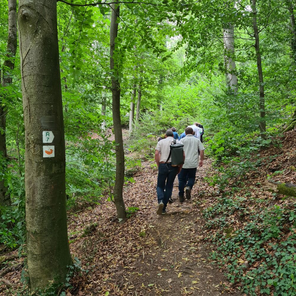
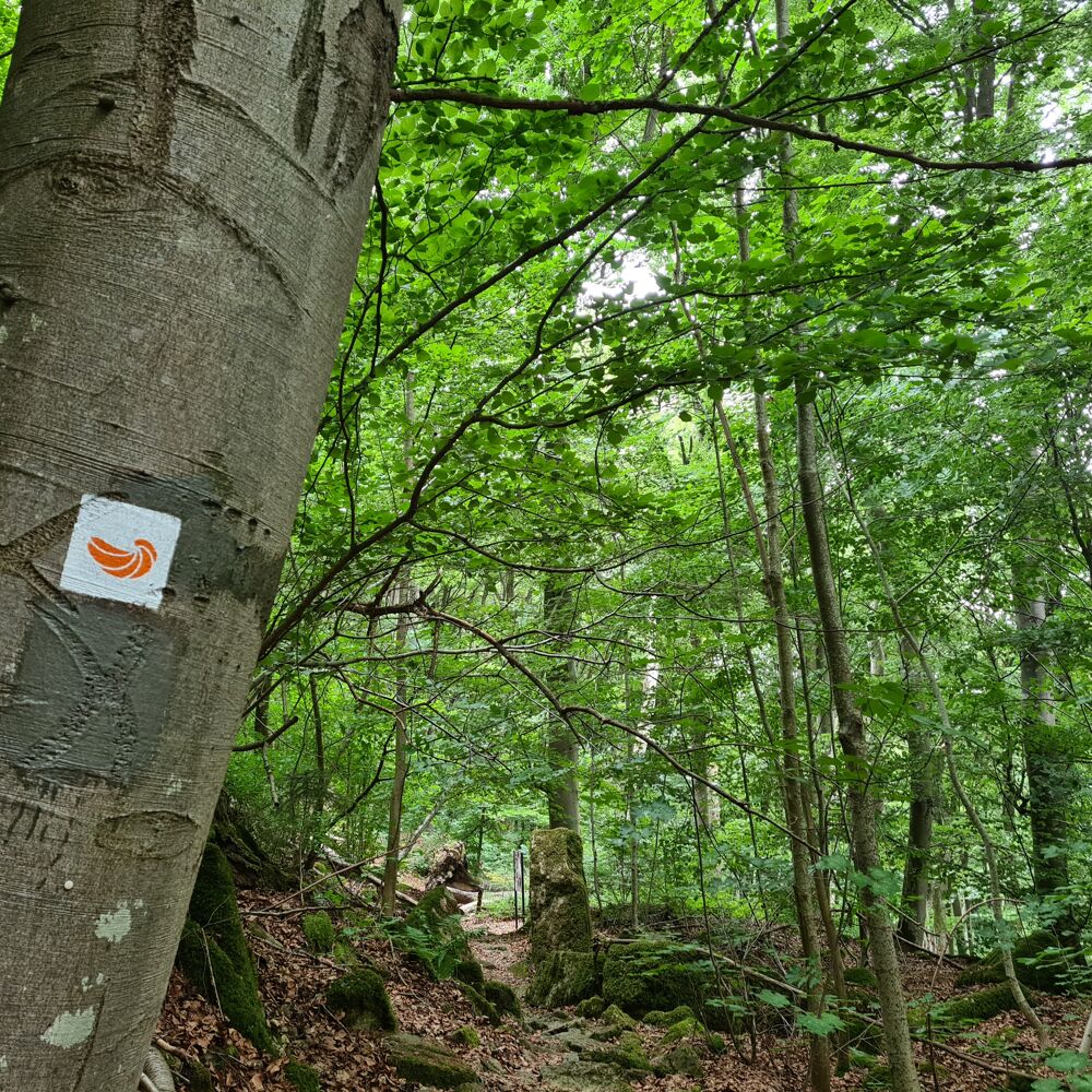
The Geopad runs over the Hëlt, the hill situated next to the Sûre in Rosport. The path is marked with a fossil oyster (devil's claw), which reminds you that the rocks were formed in the sea here a long time ago. It offers a lot of interesting information on 11 information boards along the way.
The varied and also partly demanding hike starts at the Rue du Barrage car park in Rosport and leads into a forest with spectacular dolomite rock formations. The Hëlt is very varied: the wild northern slope, formed by a large landslide in the marl, is forested. It is cool there even in summer. This section of the trail offers very beautiful views of the valley of the Sûre.
On the almost Mediterranean southern slope, you discover the only vineyard in the region. Here, you can see lizards on the dry stone walls, and numerous rare orchid species and other plants worthy of protection grow on the dry grasslands. A canal used for power generation cuts the loop of the Sûre and turns the Hëlt into an island.
Location
Rosport: Rue du Barrage (Parking area near the lake)
Contact
8, rue de l'Auberge | L-6315 Beaufort
Tel. + 352 26 87 82 91-1
E-mail : info@naturpark-mellerdall.lu
Details
Departure : Rosport: Rue du Barrage (Parking area near the lake)
Arrival : Rosport: Rue du Barrage (Parking area near the lake)
Parking : Parking Sauerpark (free)
Distance : 4,1 km
Time : 01h30
Difficulty :
Picture gallery

in the surroundings
show on the map
our partners


