
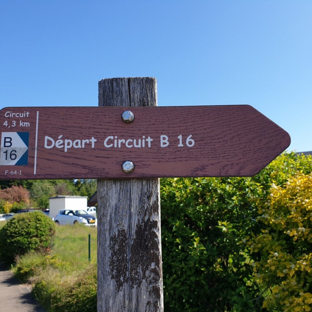
Local hiking trail - B16
Local hiking trail - B16
Easy hike on the plateau and through the locality of Beaufort.
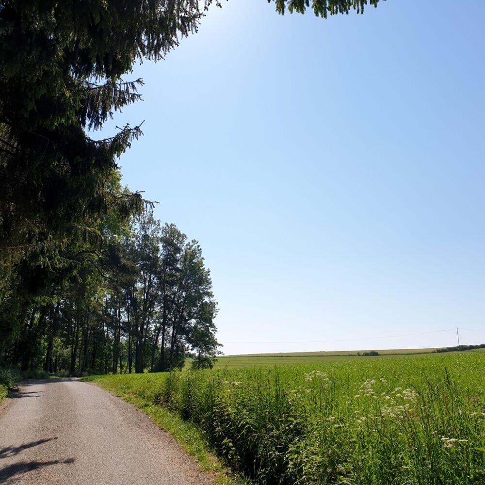
You start this easy hike on Route de Reisdorf and then walk over an open plain northeast of Beaufort.
The path is almost entirely paved (only about 100 m consist of a grass path) and offers a wide view of Berdorf with the Aquatower.
On a clear day, you can see the radio antennas in Junglinster in the south.
The trail crosses a busy road and runs along a busy road for about 250 metres. There are several places to stop along the way. A detour to the tourist office at the campsite of Beaufort is also possible.
Location
Beaufort: Route de Reisdorf/Kinnewee
Contact
B.P. 152 | L-6402 Echternach
Tel. +352 72 04 57 1
E-mail : info@mullerthal.lu
Details
Departure : Beaufort: Route de Reisdorf/Kinnewee
Arrival : Beaufort: Route de Reisdorf/Kinnewee
Parking : Closest parking lot: Parking lot Ice Skating Rink (700 m)
Distance : 4,3 km
Time : 01h05
Difficulty :
Picture gallery


in the surroundings
show on the map


our partners


