
Local hiking trail - C1
Local hiking trail - C1
This short hike gives you first impression of the bizarre rocky landscape of the Mullerthal Region – Luxembourg’s Little Switzerland.
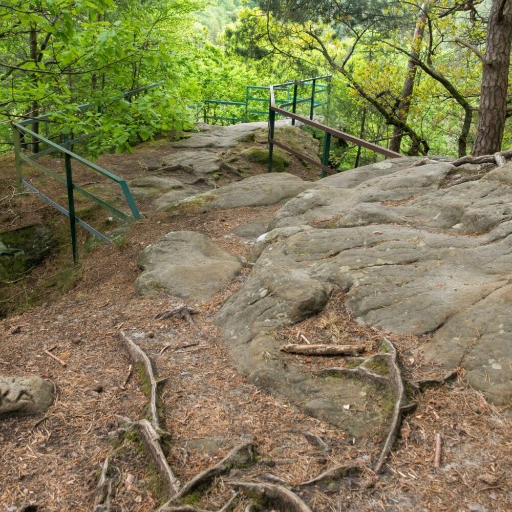
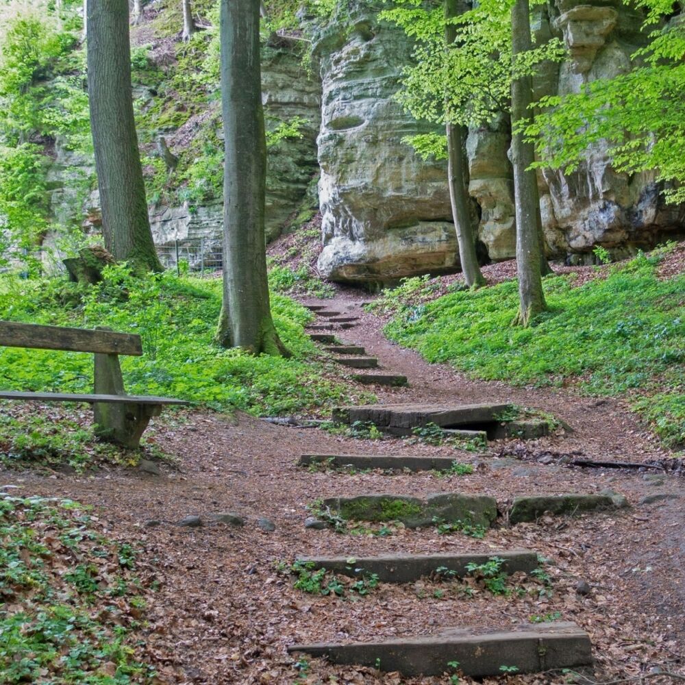
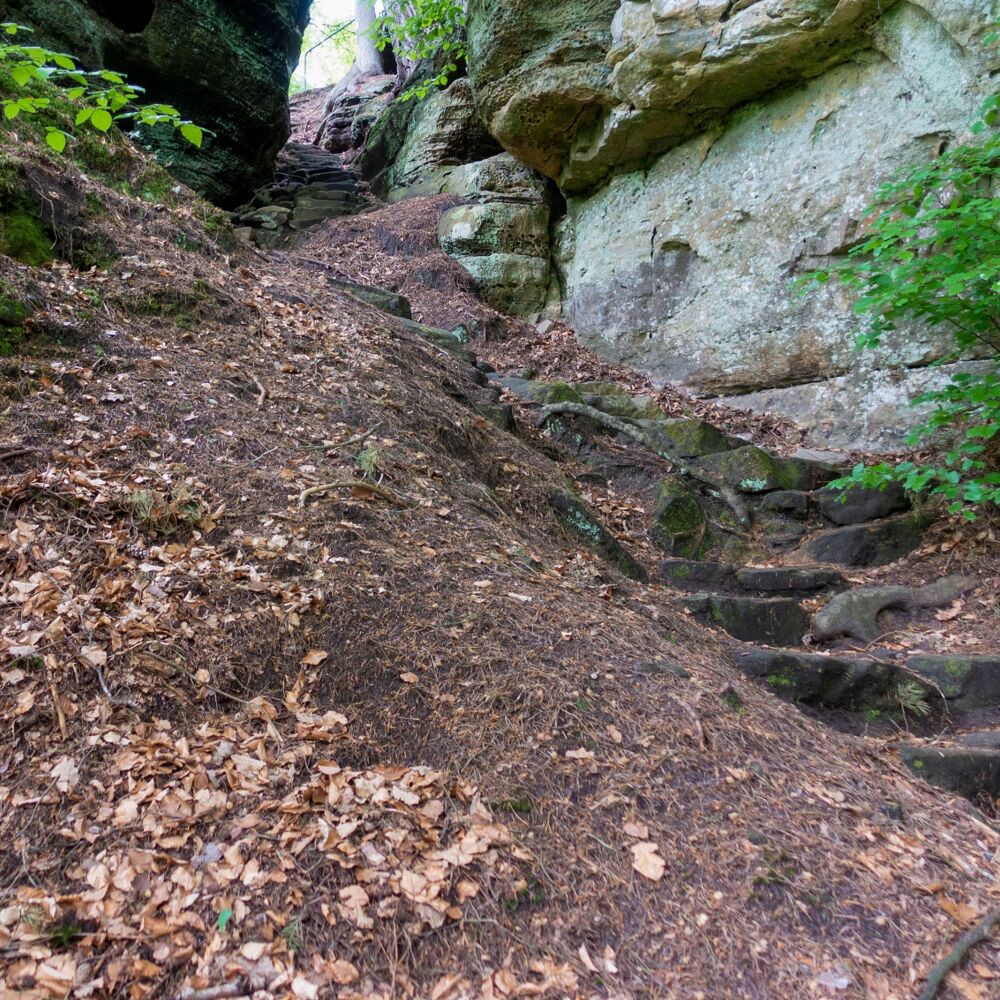
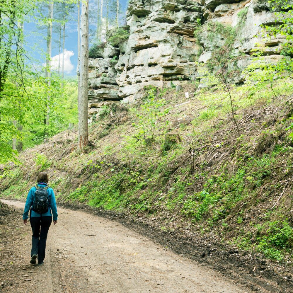
This short hike passing on many small paths takes you down into the valley, through a narrow crevice on a bit tricky steps . When you come to the road, you have made already half of the path. From here the path leads uphill again, along the imposing rocky landscape and back to Consdorf.
Location
Consdorf: Tourist Info
Contact
op Buergkapp | L-6211 Consdorf
Tel. +352 72 04 57 1
E-mail : info@mullerthal.lu
Details
Departure : Consdorf: Tourist Info
Arrival : Consdorf: Tourist Info
Parking : Nearest parking is: Camping (50 m)
Distance : 1,9 km
Time : 00h35
Difficulty :
Itinerary
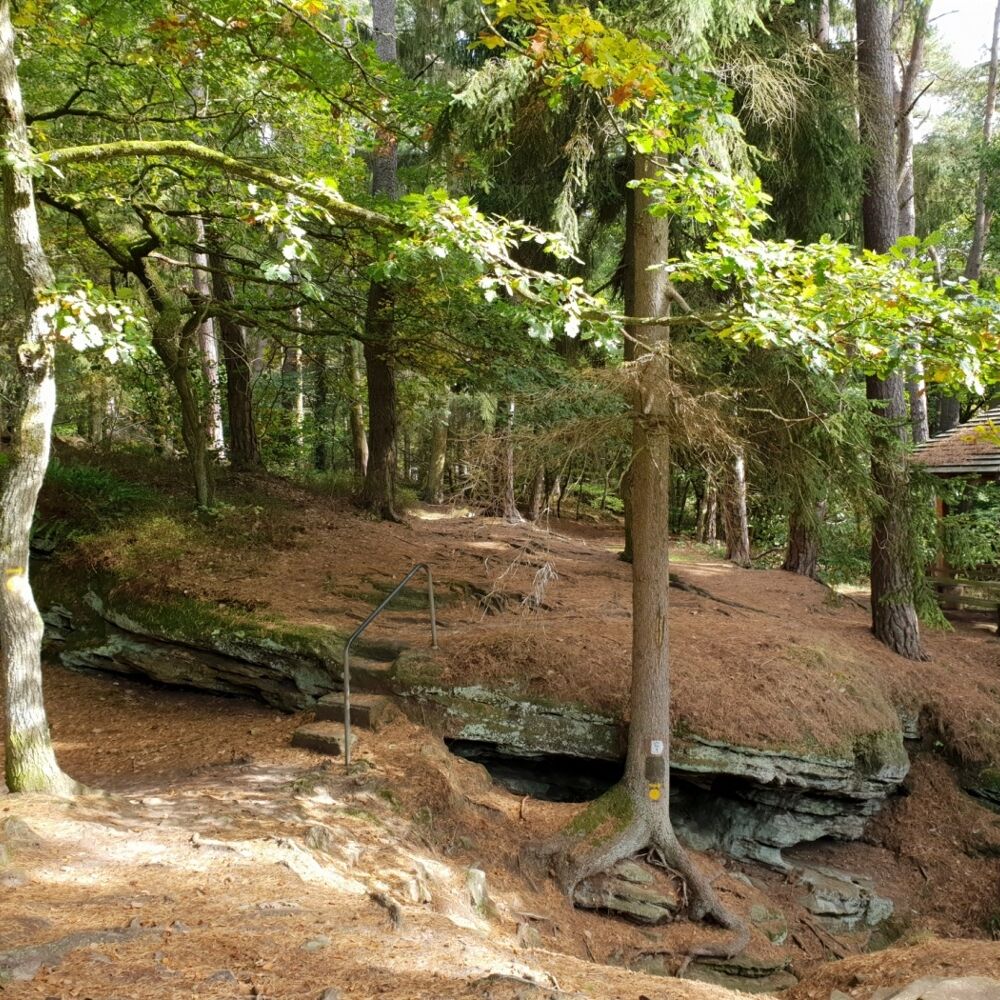
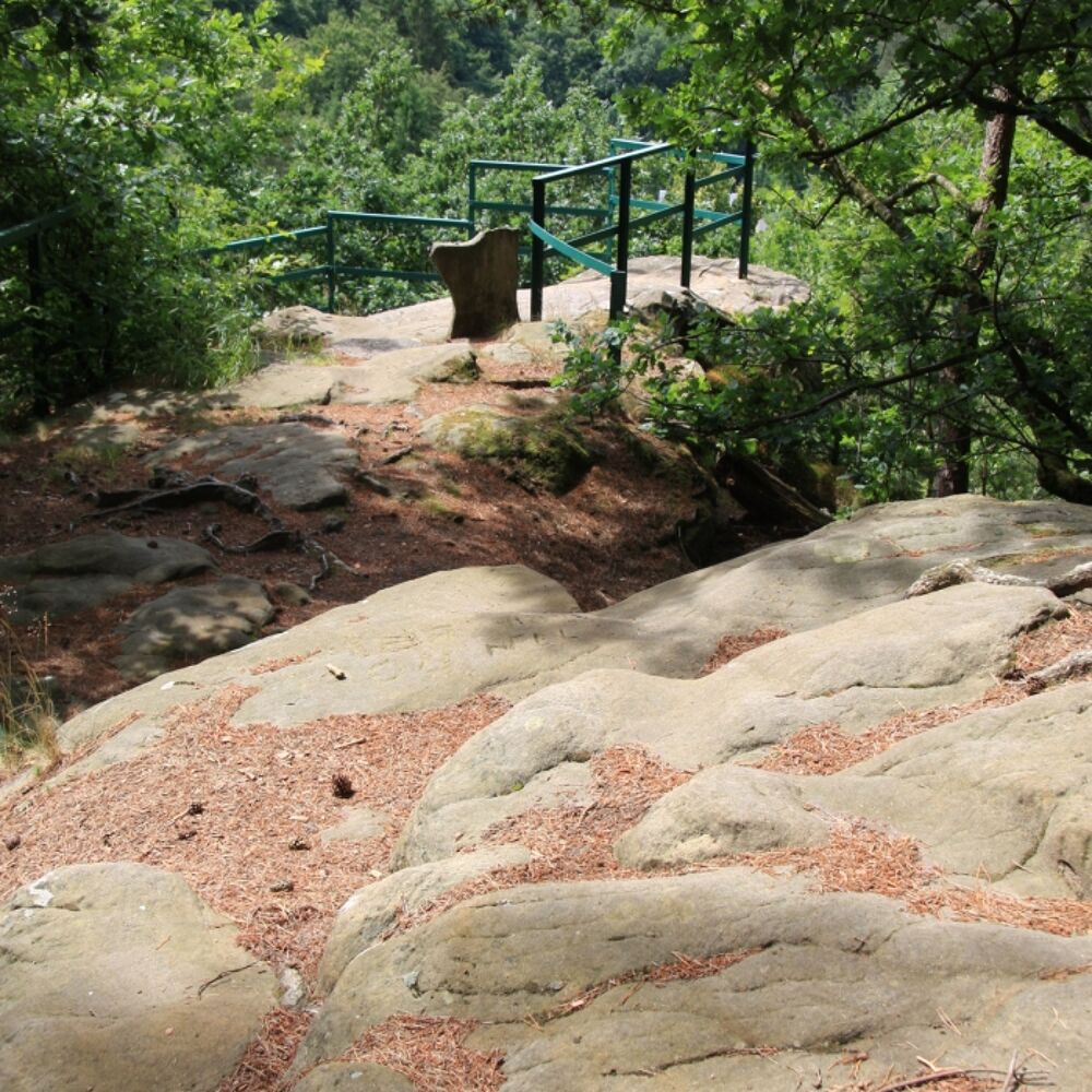
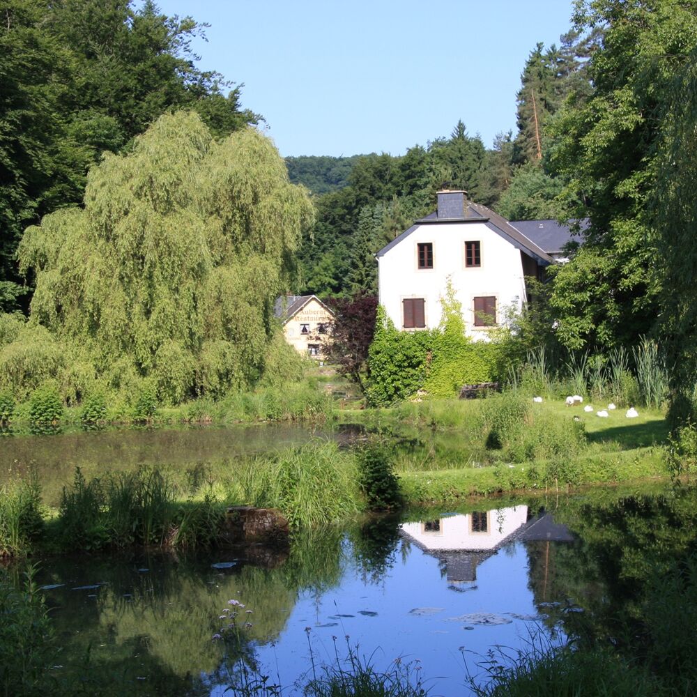
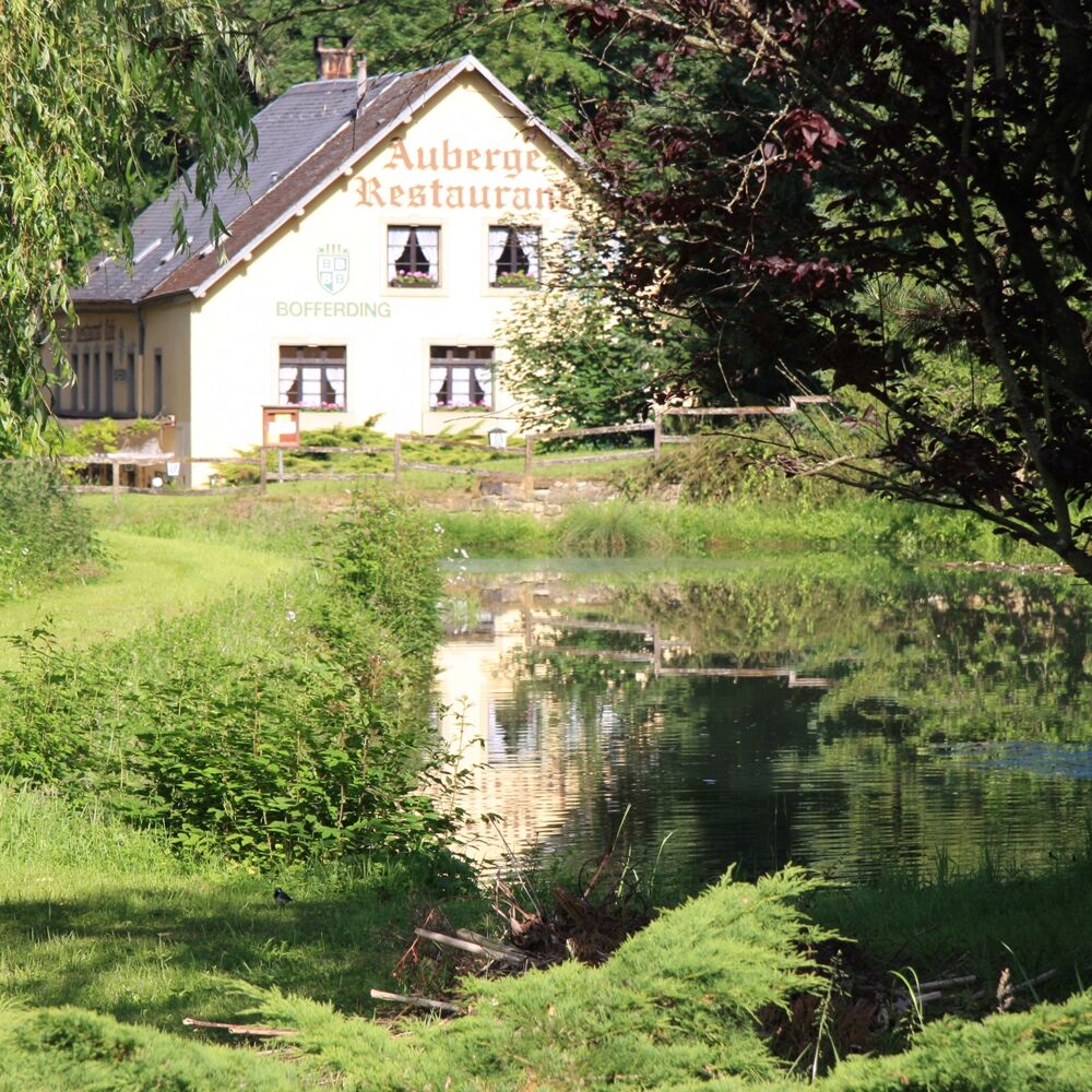
After crossing the place of a former fortification, which today hosts a campsite, a soccer field and a playground, you face a rewarding view of the picturesque valley of the Konsdrefer Millen (Consdorfer Mühle) standing on rugged rocks.Tricky steps through a narrow crevice in the rock lead into the valley of the Konsdrefer Baach (the brook of Consdorf). After crossing the Fluedebuer car park and the main road, the path leads a bit up the stream along the Härdbaach.
Using a narrow path, you climb up again, past a small spring, popularly known as Nidderbierchelchen (small fountain).
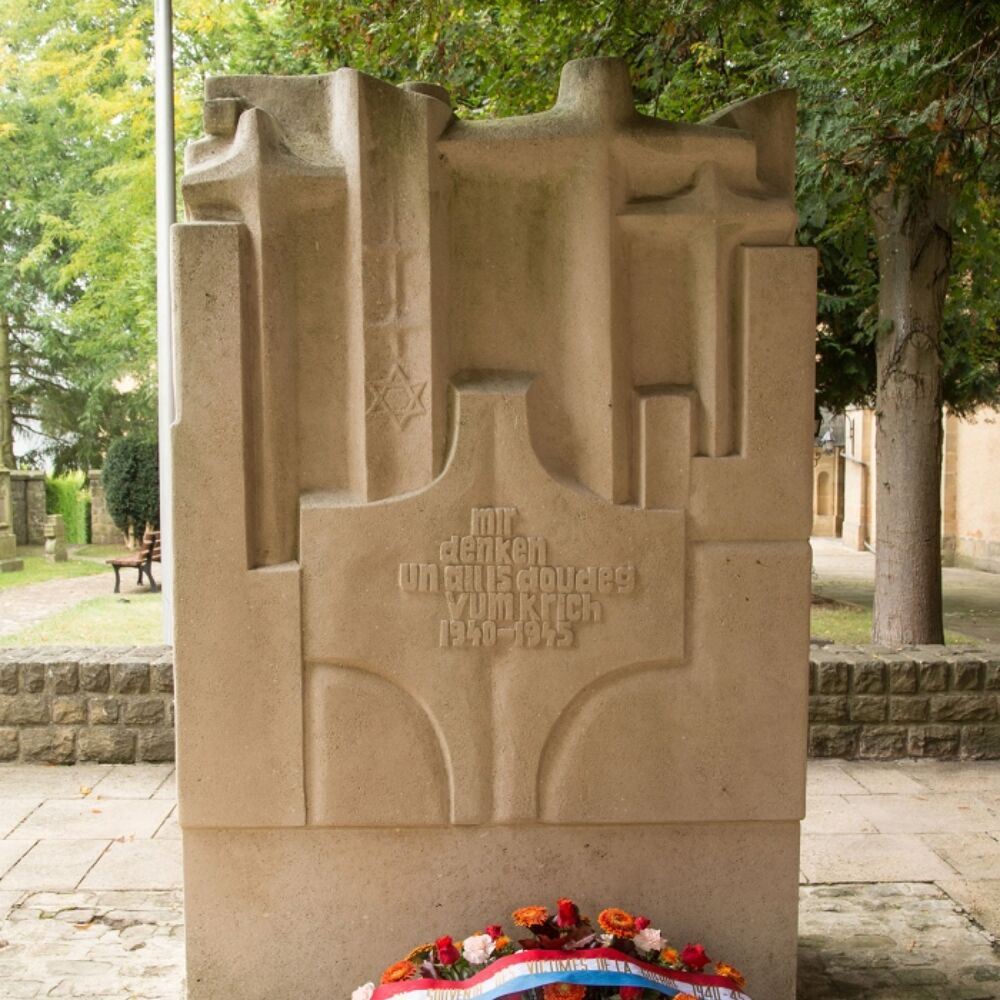
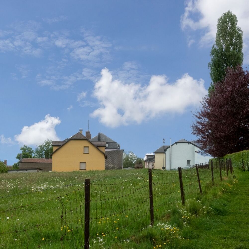
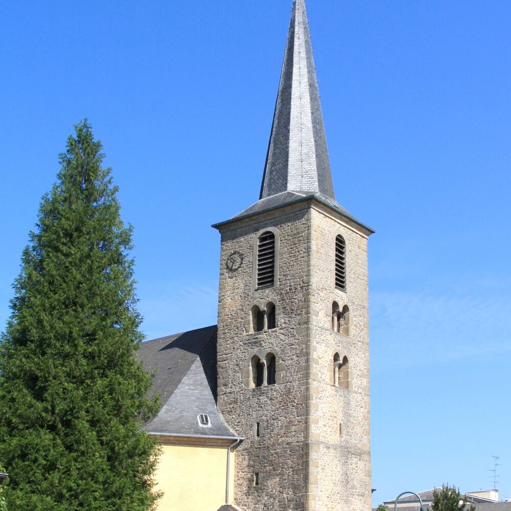
In the center of the village, the remarkable Gothic church tower, protected as a national monument,is an eye catcher. The memorial next to the church commemorates the citizens of Consdorf who died in World War IIas well as the victims of a typhus epidemic that broke out in Consdorf in 1945.
Passing the elementary school, the old people's home and the cemetery at "Buergkapp", you reach your starting point again.
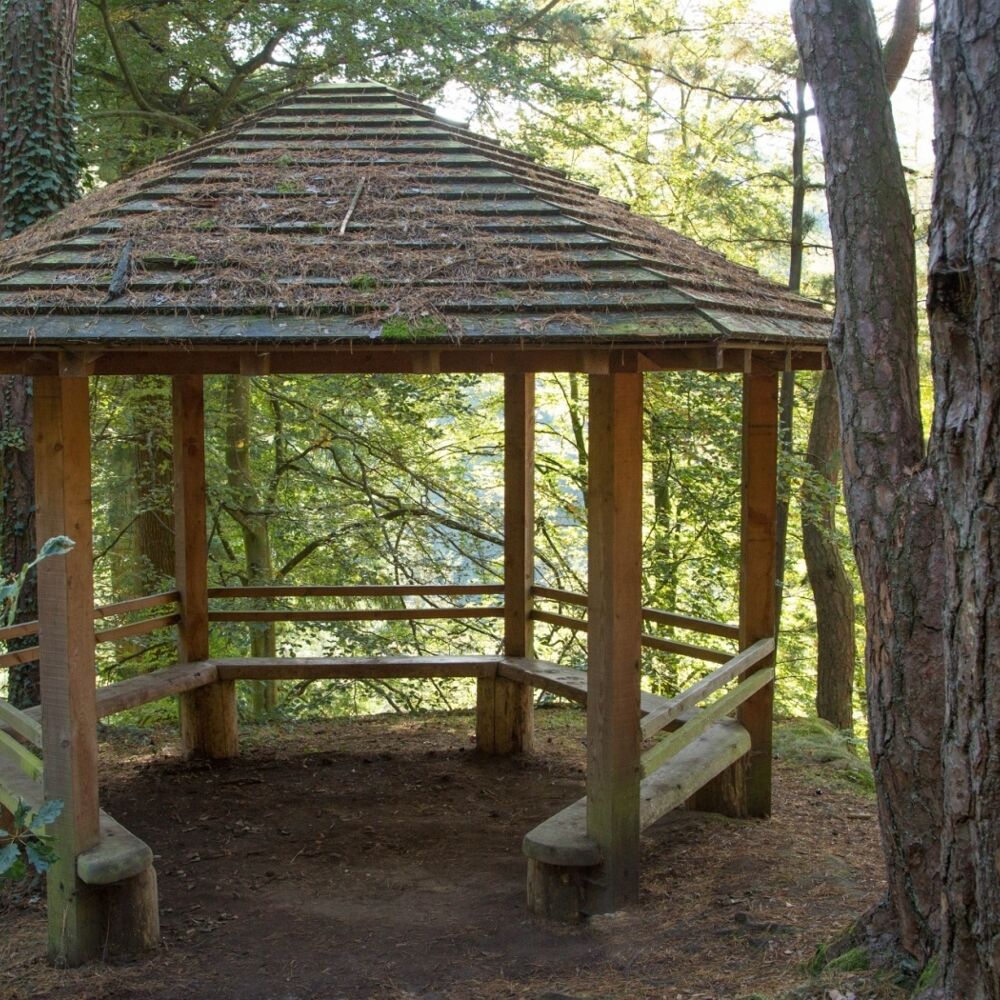
Picture gallery
in the surroundings
show on the map
our partners


