
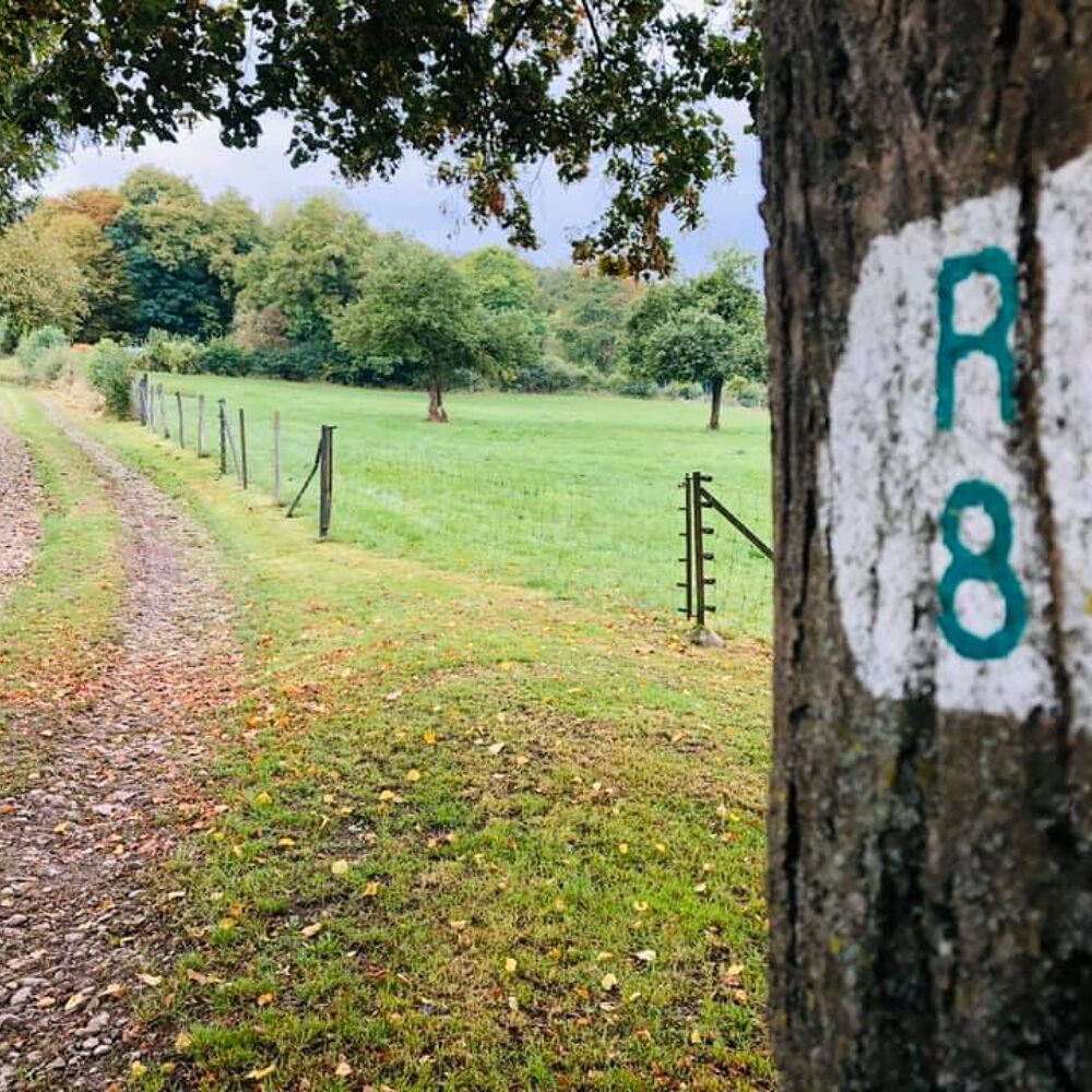
Local hiking trail - R8
Local hiking trail - R8
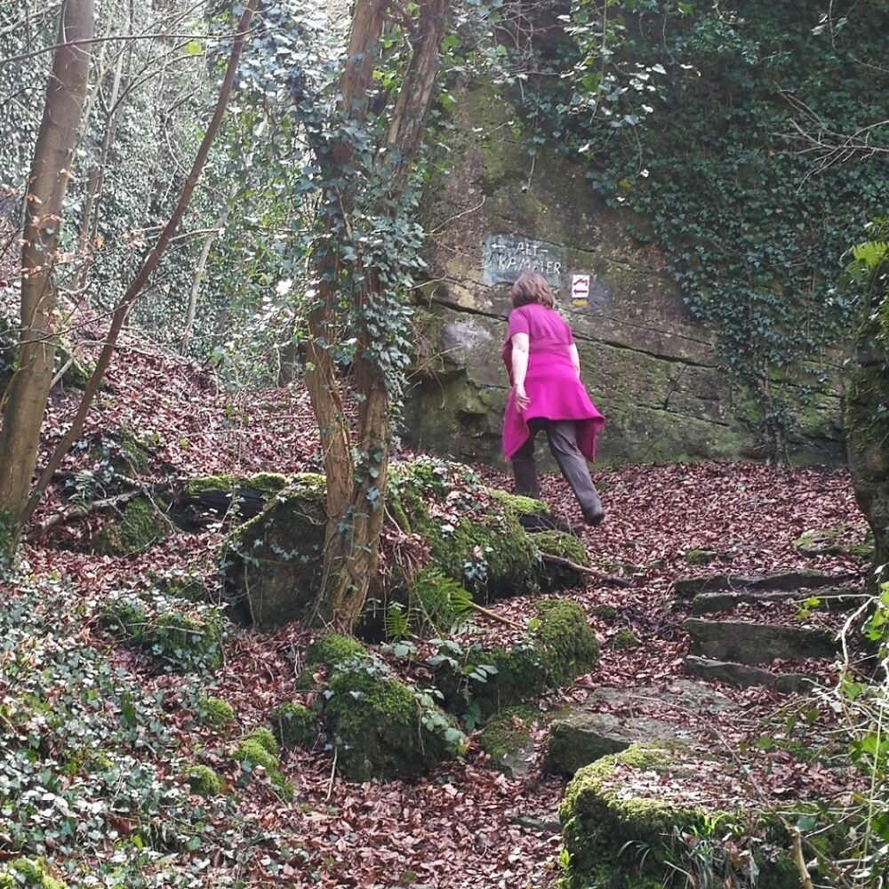
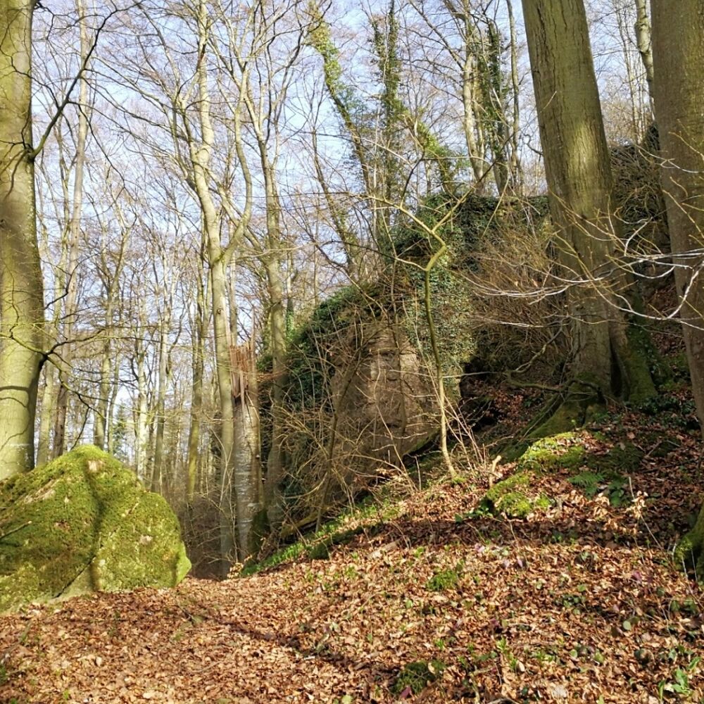
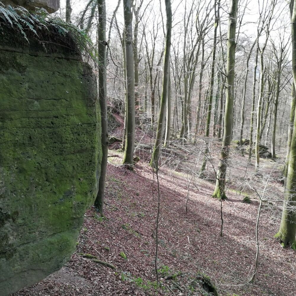
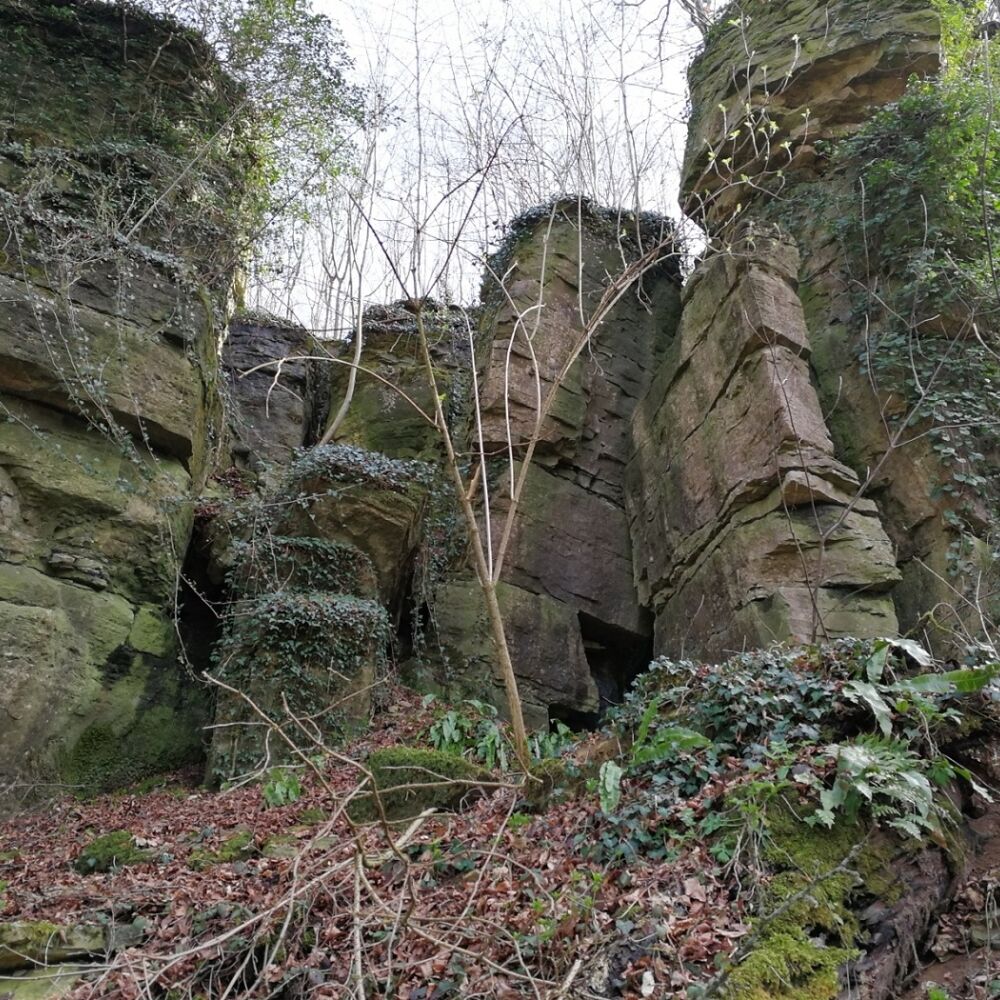
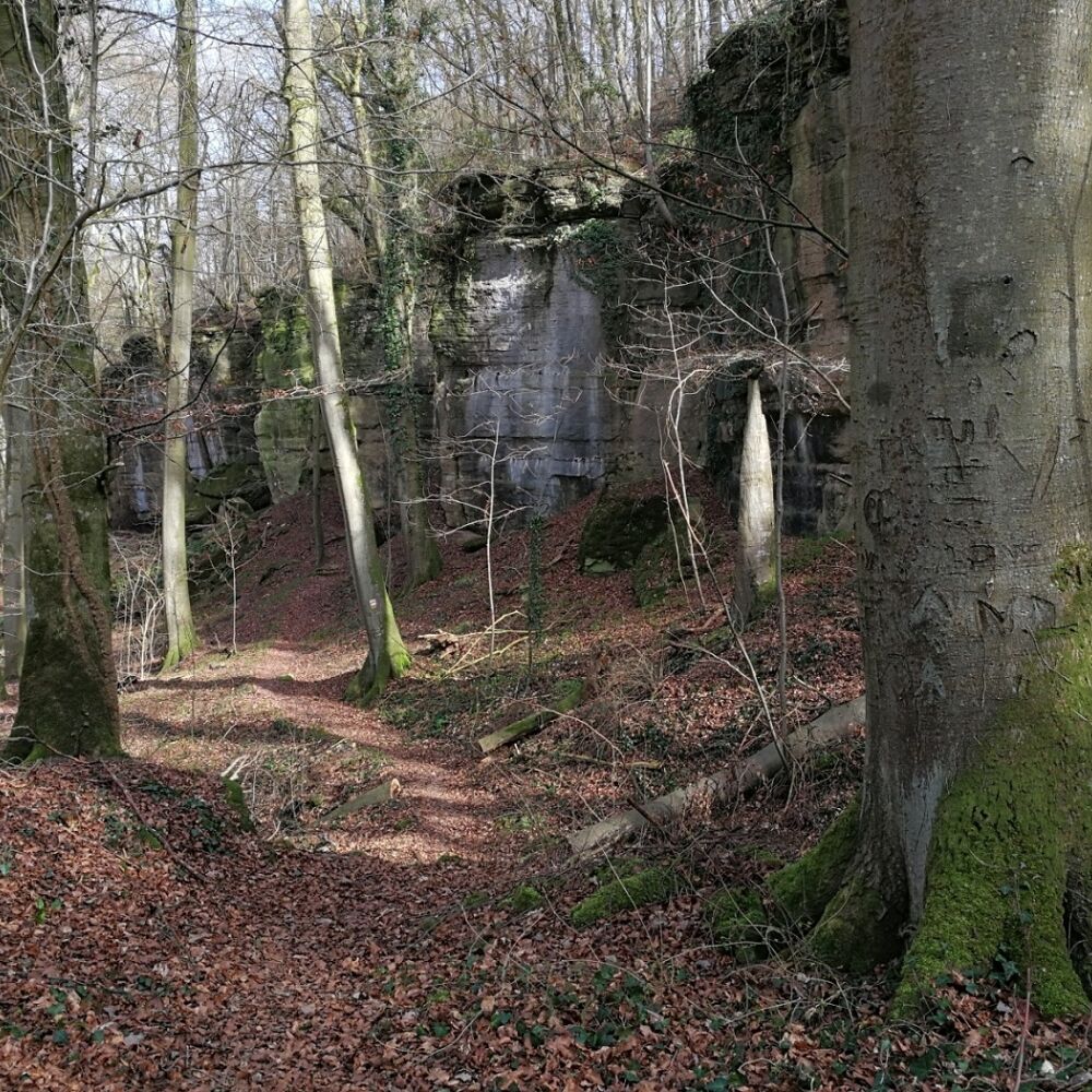
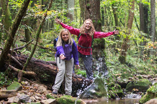
A varied tour with geological highlights, such as Alkummer. This is a rocky gorge with high walls making you feel like you are in a stone room.
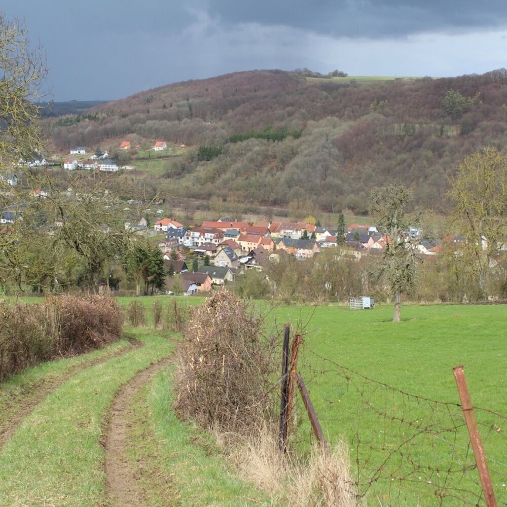
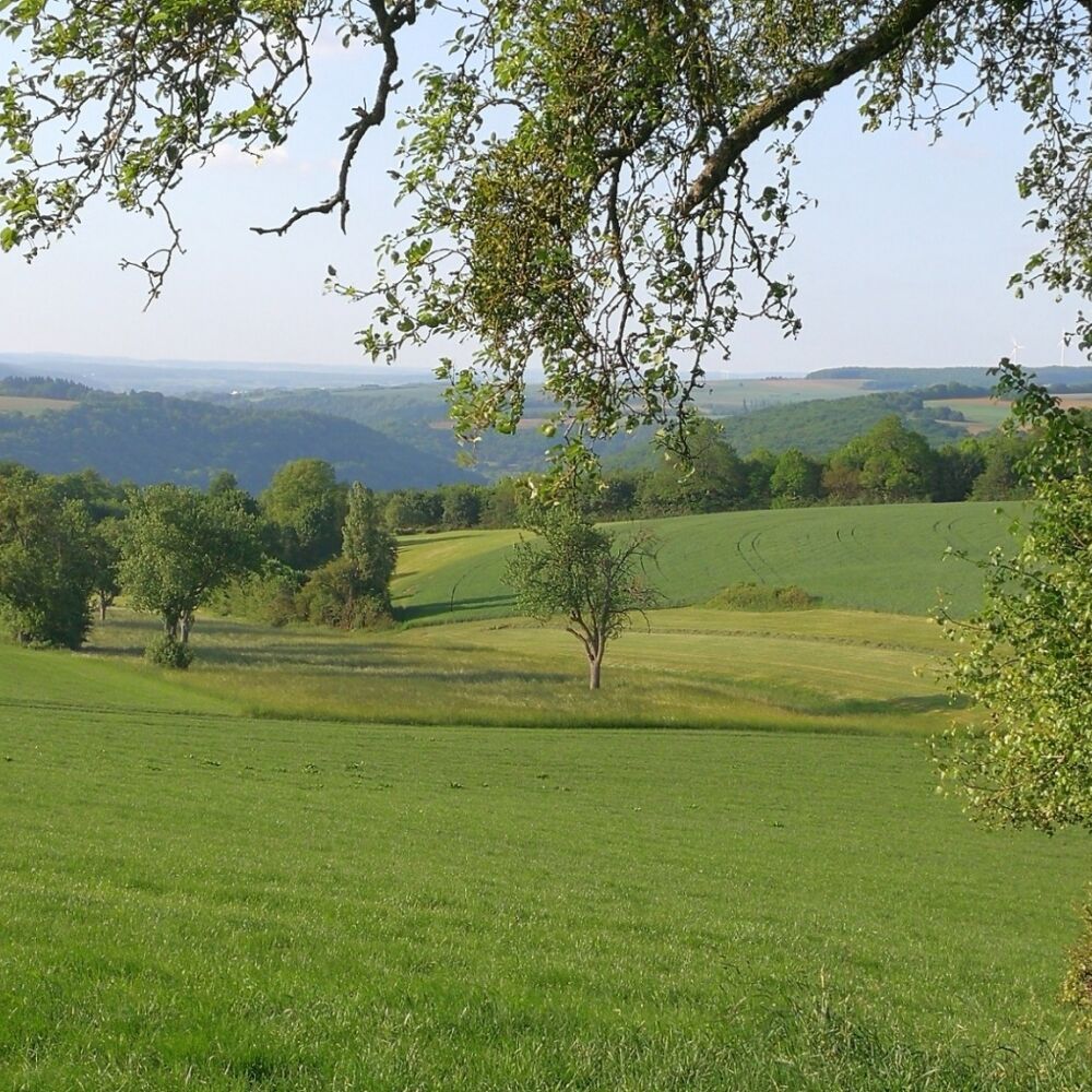
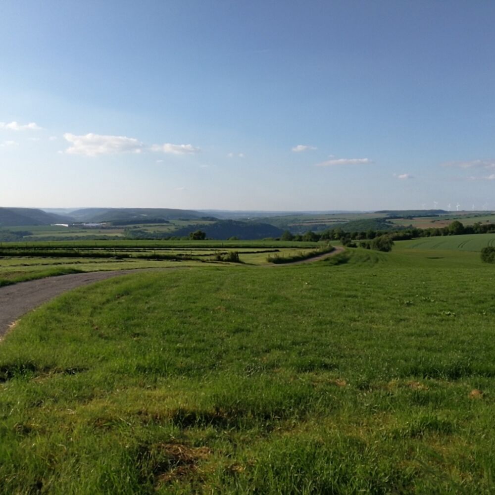
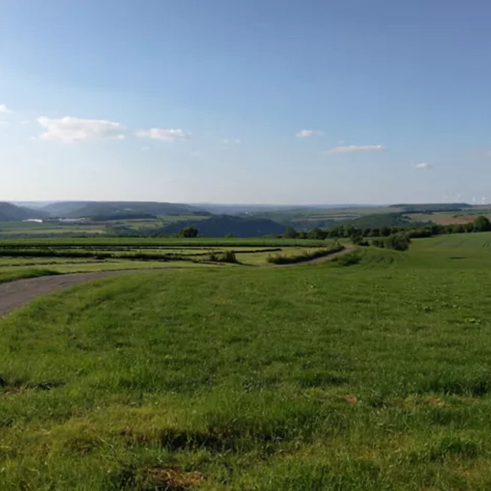
This track of 9 km offers nice views on the typical landscape of the lower Sûre valley.
Right after the start, you will stroll through small paths used daily by the inhabitants of the village. You will then enjoy great views on the valley of the Sûre.
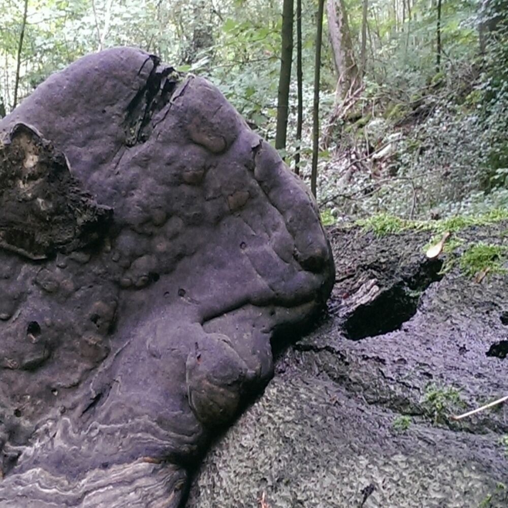
The highlight is a 360 degree view at the highest point of the hike. Dolomite rocks, a dense beech forest and moss covered stones are other highlights of this tour.
Location
Steinheim: Rue de la Montagne (Centre culturel "Fraihof")
Contact
B.P. 152 | L-6402 Echternach
Tel. +352 72 04 57 1
E-mail : info@mullerthal.lu
Details
Departure : Steinheim: Rue de la Montagne (Centre culturel "Fraihof")
Arrival : Steinheim: Rue de la Montagne (Centre culturel "Fraihof")
Parking : A parking place is located directly at the starting point.
Distance : 8,7 km
Time : 02h32
Difficulty :
Picture gallery

in the surroundings
show on the map
our partners


