Geological highlights
Natur- & Geopark Mëllerdall
Insights into the history of the earth
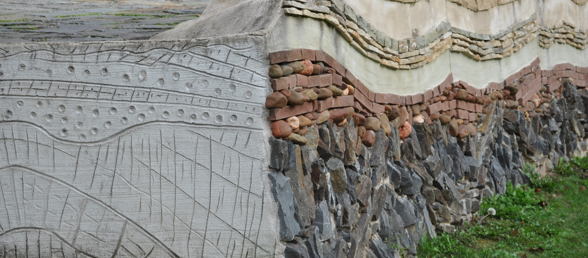
The geological history is characterized by an alternating distribution of land and sea. The rock layers of sandstone and dolomite, from which the bizarre rock landscapes were created, were once the bottom of a sea. Between 250 and 200 million years ago, during the Triassic and Jurassic periods this was the ocean bed. The marl, which can be found in the flatter areas of the region, was once part of the seabed, too.
Rivers that flowed into the sea flooded grains of different sizes into the ocean. These grains, but also other dissolved substances such as lime or other salts, deposited on the seabed and were solidified to stone. In the region of the Nature and Geopark Mëllerdall, these are mainly sandstone, marl, limestone and dolomite.
After the sea disappeared in the middle Jura, today's rivers cut into the rock. The current landscape of plateaus and deep valleys was formed. Humans settle here since the Stone Age. Above all, the Sauer, the largest river in the region, cut deep into the dolomite subsoil. Therefore, the rock is now visible as rock faces on both sides of the valley. Also the smaller rivers and streams created steep cliffs. These contrast with the open areas of Keuper landscape, gently undulating hills on the plateaus.
Narrow rock clefts and caves in the Luxembourg sandstone have formed because blocks separated from each other and slipped or tilted on the underlying water-retaining marl layers.
There are also traces of weathering everywhere. Particularly characteristic is the honeycomb weathering in calcareous rock, reminiscent of honeycombs.
Interesting and worth protecting points that provide insights into the history of the earth are called geosites. They convey knowledge about the origin and development of life on earth and are testimonies of a turbulent past. In the Nature and Geopark Mëllerdall numerous geosites can be found. The landmark of the region, the Schéissendëmpel waterfall, is such a geosite. The imposing rocks of the Wollefsschlucht gorge or the Kuelscheier, a narrow rock cave near Consdorf, are interesting geosites, too.
Experience geology
A network of trails from the 112 km long, award-winning Mullerthal Trail and the numerous local trails leads past the spectacular rocks. The hiking trails often lead even up on the rocks or through gaps and fissures through them. Thanks to good public transport offers single and multi-day tours are easily possible. Many geosites can also be explored by mountain bike. Climbing is possible on the rock faces of the Wanterbach near Berdorf.
The Natur- & Geopark Mëllerdall conveys the value of this geological heritage and has been part of the international network of UNESCO Global Geoparks since 2022.
Geological highlights in the Mullerthal Region
No entity in this category
on the map
our partners


