Beschrijving
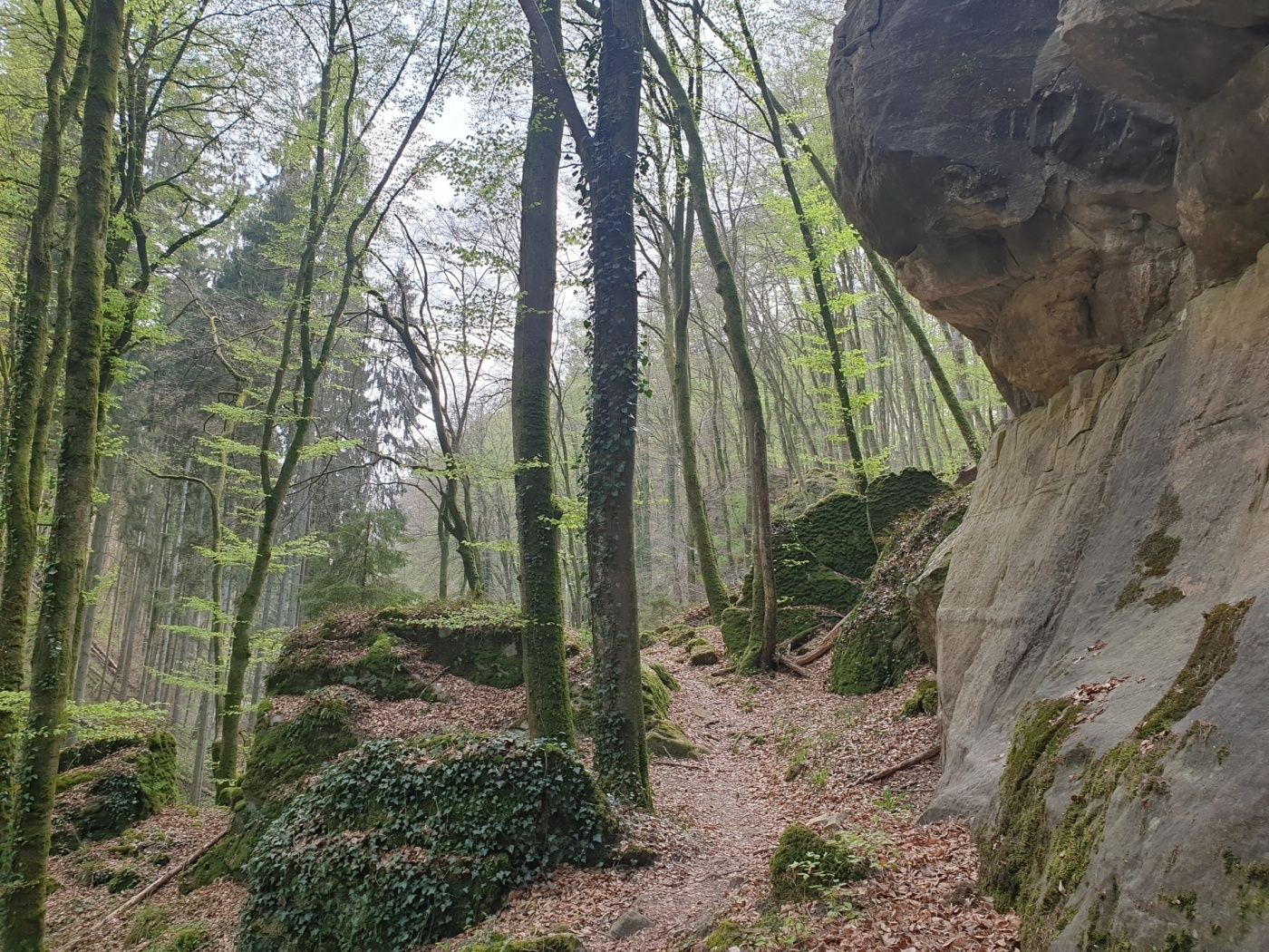
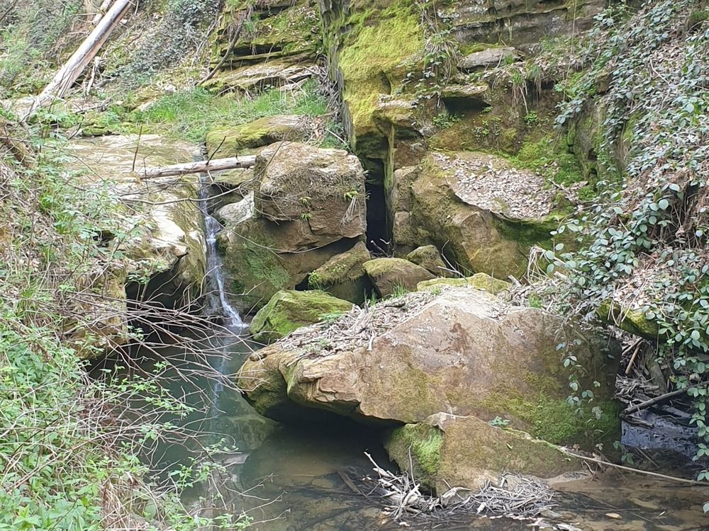
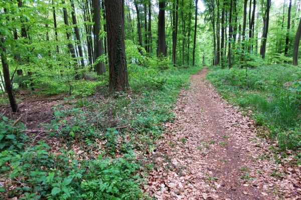
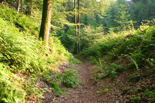
Met zijn 3,6 km is deze wandeling vooral geschikt voor degenen die niet veel tijd hebben of alleen kortere afstanden willen lopen. Over smalle paden slingert het pad langs de Kaasselbaach diep het Heringer bos in.
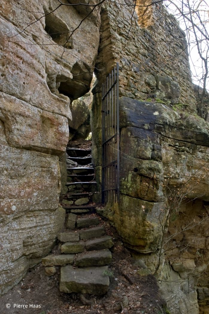
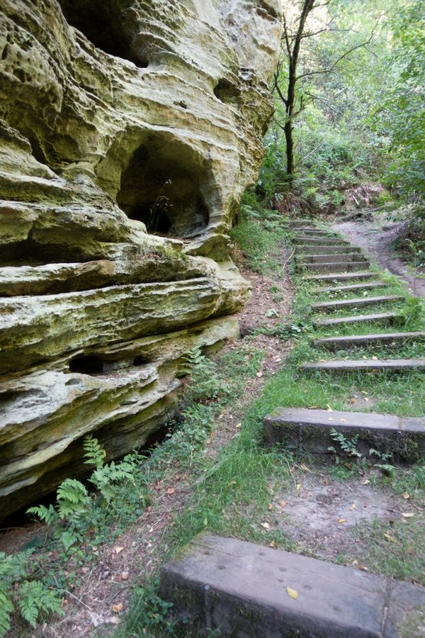
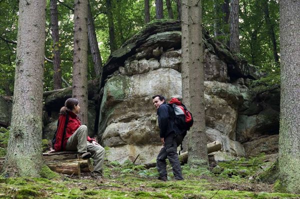
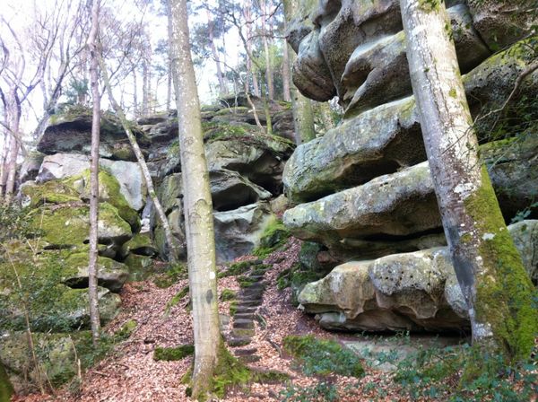
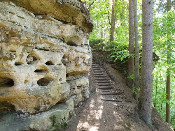
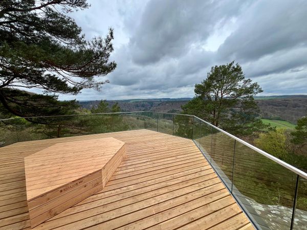
Het hoogtepunt van deze wandeling zijn de ruïnes van de burcht van Heringen. Het voormalige toevluchtsoord diende als een veilige haven voor de Ridders van Heringen. Tegenwoordig nodigen de overblijfselen van de in de rotsen uitgehouwen muren uit om ontdekt te worden.
Bewegwijzering

Wegbeschrijving
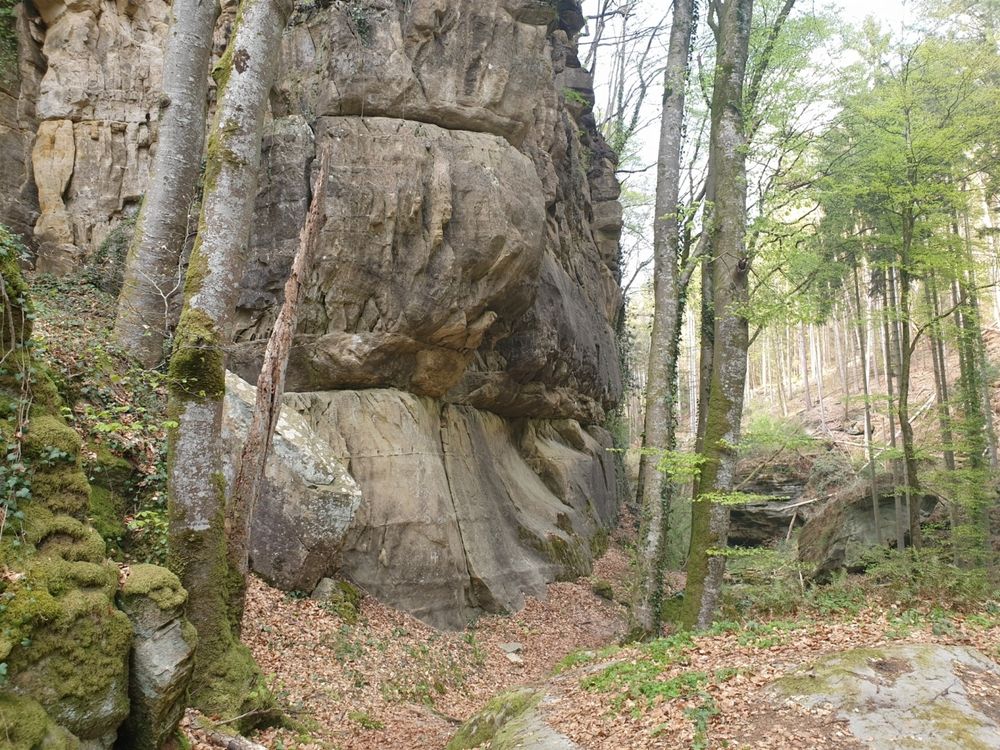
Vanaf het startpunt bij de parkeerplaats Heringer Millen loopt het pad eerst een tijdje langs de straatweg en gaat dan rechtsaf het bos in. Vanaf hier loopt het pad door het bos, parallel aan de Kaasselbaach. Het pad is omzoomd met de zandstenen rotsen die typisch zijn voor de regio. Het gaat constant licht omhoog totdat na ongeveer tweederde van de weg het hoogste punt van de wandeling is bereikt. Vanaf hier gaat het weer licht bergafwaarts. Het hoogtepunt van het parcours wacht op het laatste deel van het parcours. Hier zijn de ruïnes van een oud toevluchtskasteel dat uitnodigt om te verkennen. Vanaf de Heringer burcht gaat het terug naar het startpunt.
Uitrusting
Stevige wandelschoenen en iets te drinken.
Aankomst
Dichtstbijzijnde bushalte: Müllerthall (50m)
Parking:
Op de gratis parkeerplaats bij de startpunt.


 Deze website maakt gebruik van technologie en inhoud van het Outdooractive Platform.