

Mompach
Where? L-6695 Mompach
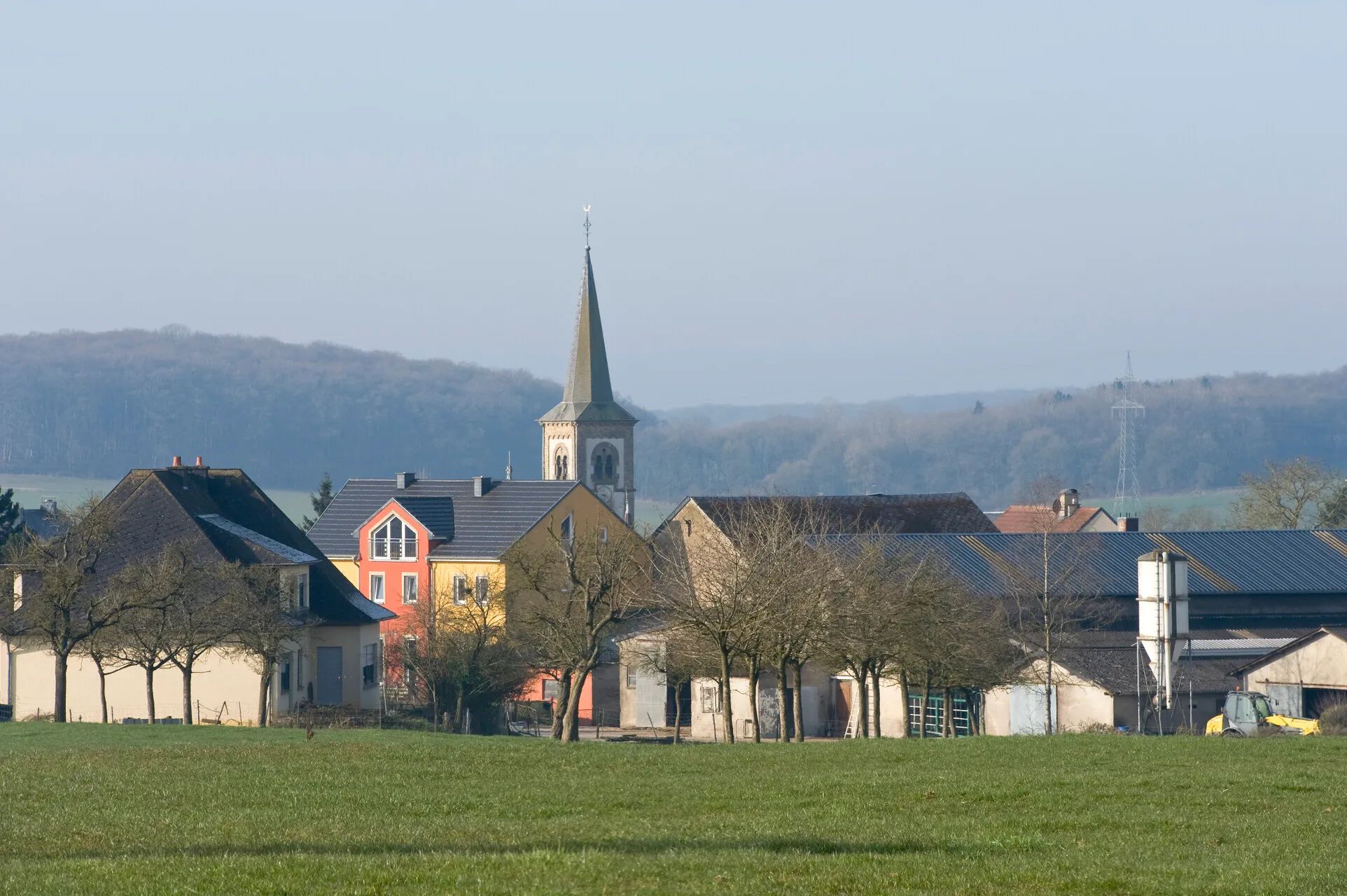
Mompach is situated on a rural plateau in the municipality of Rosport-Mompach. Fields, meadows and forests, along with several hiking and cycling trails, characterise the surrounding area.
Mompach lies on the hills above the Sûre valley and is surrounded by fields, meadows and woodland. The peaceful, open countryside offers a variety of opportunities for hiking and cycling.
The local circular hiking trails M3 and M6 start at the church. The approximately 4 km long M3 leads through traditional orchards, pastures and woodland. The approximately 9.6 km long M6 offers sweeping views as far as the Hunsrück and Widdebierg hills. It partly follows an ancient Roman road and passes the small rock cave known as the “Hexenkeller”.
Route 1 of the Mullerthal Trail also passes through Mompach. From Moersdorf, the trail climbs out of the Sûre valley onto the plateau before continuing via Herborn through the Hierberbësch natural forest reserve towards Echternach.
For cyclists, the signposted Tudor Tour passes directly through Mompach, connecting the village with other settlements in the municipality of Rosport-Mompach and the town of Echternach.