
Reisdorf
Where? L-9390 Reisdorf
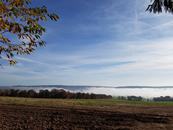
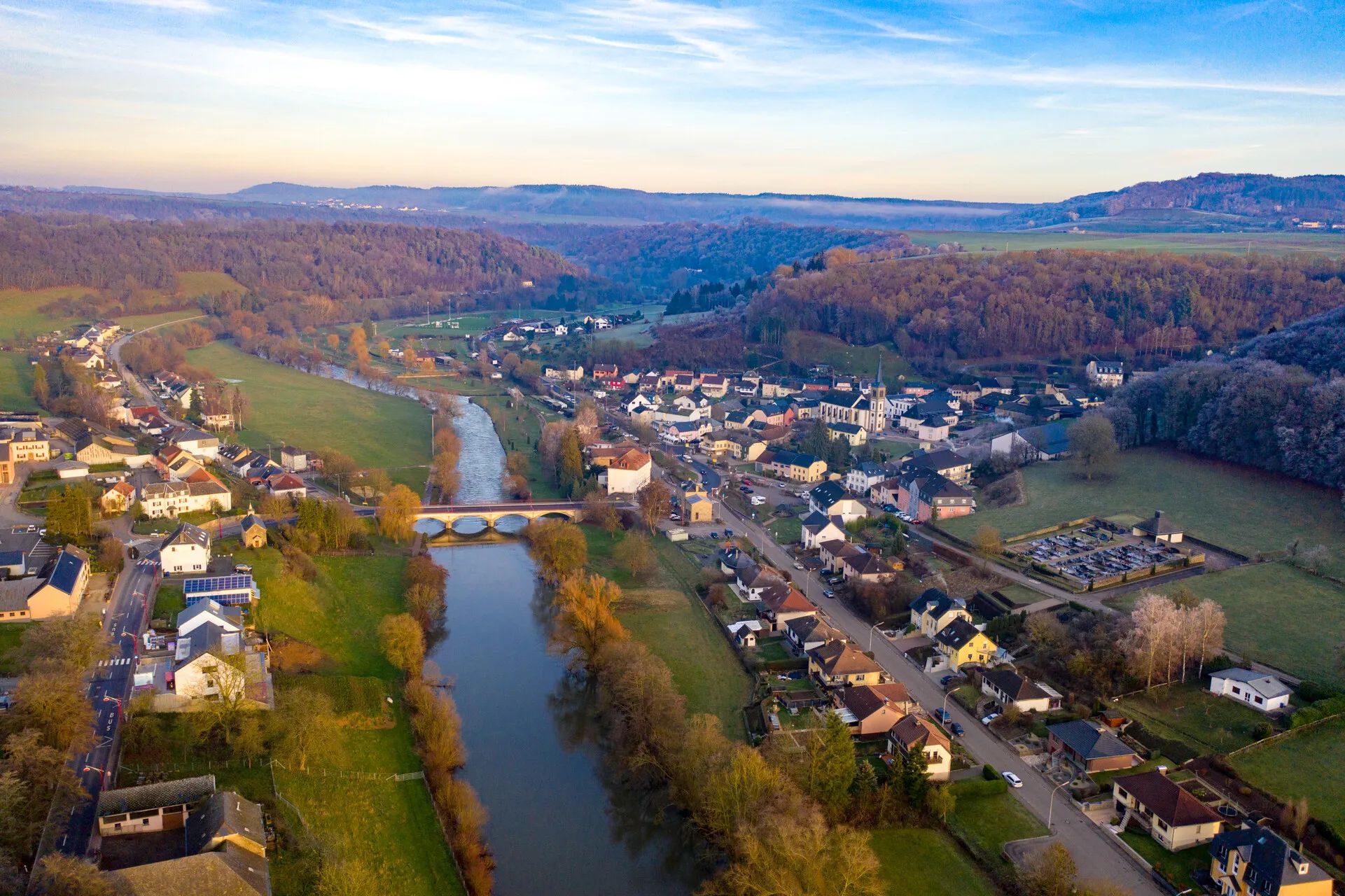
Reisdorf lies directly on the Sûre, where the White Ernz flows into the river. Wooded hills and river valleys shape the landscape around the village.
Reisdorf lies in the east of the Mullerthal Region directly on the Sûre. Here, the White Ernz flows into the Sûre. Its location in the river valley and the surrounding wooded hills shape the landscape around the village.
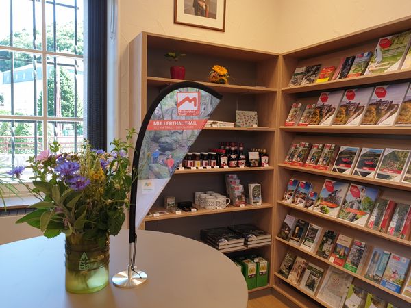
Several Local Hiking Trails start at the Tourist Information in Reisdorf and lead through the varied surroundings. The cross-border Remembrance Trail can also be started in Reisdorf. This historic circular trail uses 17 information panels to tell the story of the events of the Second World War in 1944 and 1945 and leads via Bettendorf and Hoesdorf to the former Westwall in the German village of Wallendorf.
Reisdorf is also an important connection point for cyclists. The national cycle route PC3 follows the Sûre to Reisdorf before continuing along the Our towards Vianden. Reisdorf also provides a connection to the PC16, which follows the Sûre towards Diekirch and Ettelbruck and continues to Kautenbach.