Description
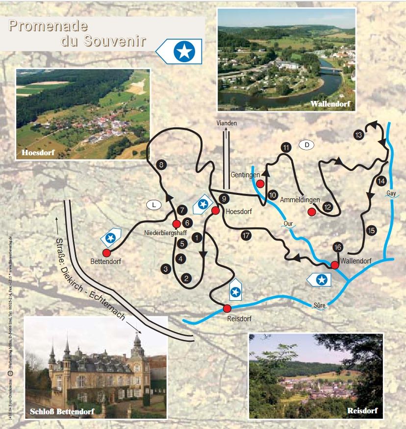
This cross-border historical route provides information on 17 information panels about the war events that took place in this part of the region between 1944 and 1945.
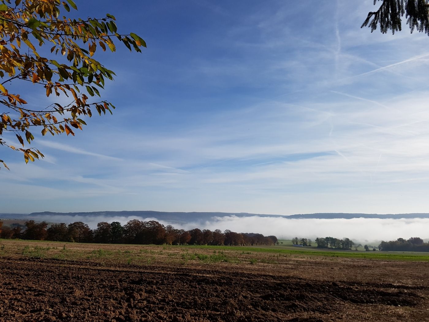
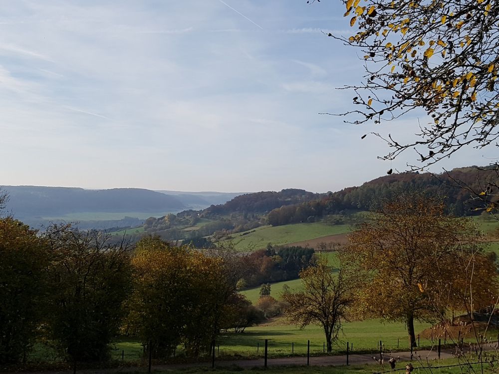
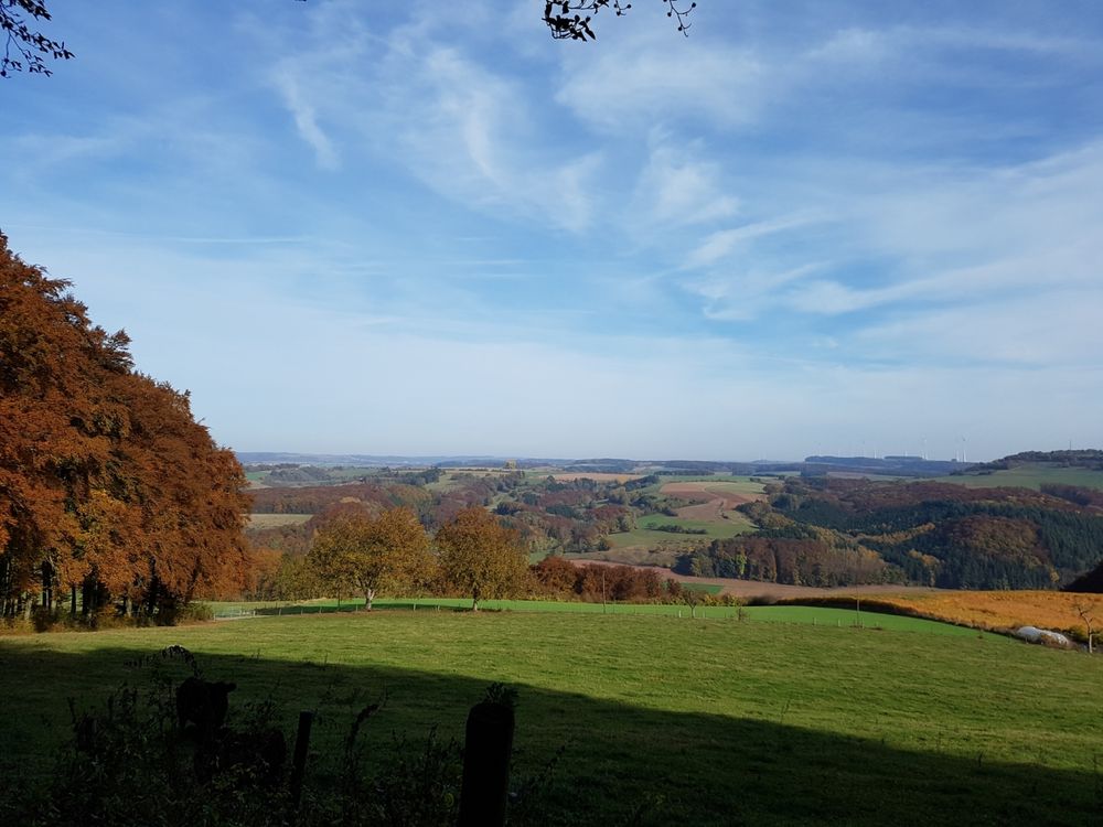
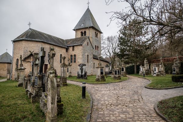
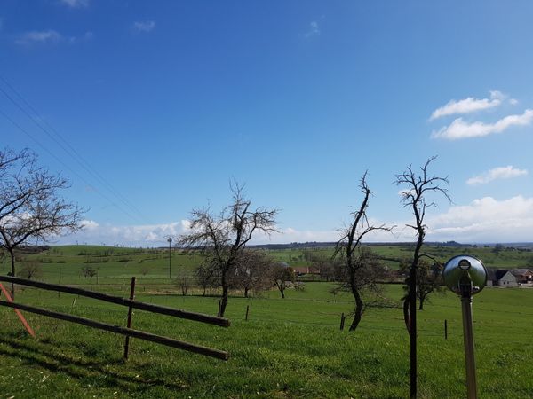
Welcome to the historical route through the Hoesdorf plateau and part of the Westwall in Wallendorf. This route (Bettendorf – Reisdorf – Hoesdorf – Wallendorf (D)) commemorates the dramatic events that took place in this area from the end of 1944 to 1945. What is now a small, peaceful and pleasant landscape was once a hard-contested place with indescribable human suffering.
The route starts in Reisdorf, from where there is an access path to the route. It is also possible to start in Bettendorf. There is also an access path to the route there. There are various possibilities to shorten the way. These are signposted on site.
Directions
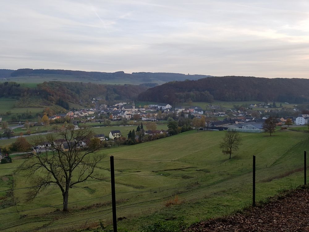
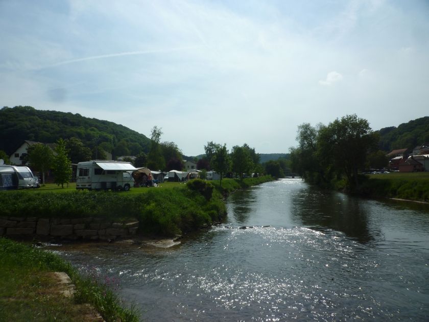
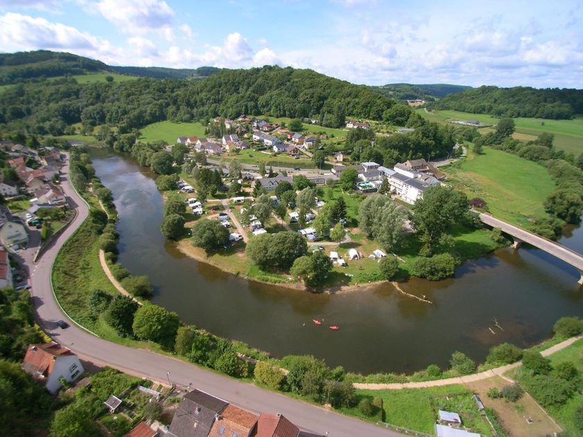
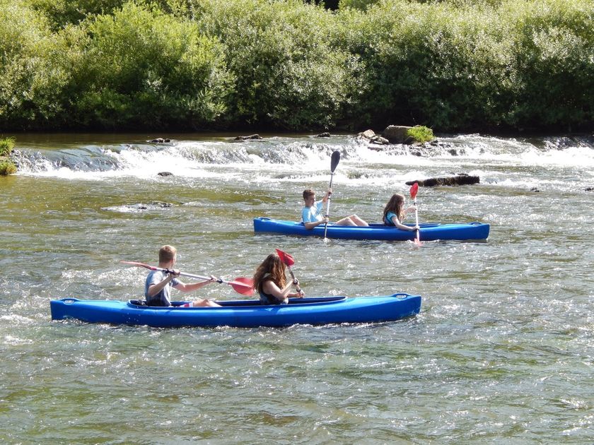
The small village of Wallendorf, located on the German-Luxembourg border, at the confluence of the Sauer and Our rivers, once made headlines on radio and in the press. Shortly after the first American troops reached the borders of the Third Reich on September 11, 1944, strong combat units of CRR (Combat Command R) of the 5th U.S. Armored Division, supported by units of the 112th Infantry Regiment (28th Infantry Division), broke through the Siegfried Line and, after capturing many villages, advanced towards Bitburg starting September 14, 1944. Although this significant operation was initially successful, it encountered considerable enemy resistance around September 20 and ultimately had to be abandoned by the end of the month due to insufficient flank protection and lack of supplies. In early October 1944, units of the 8th Infantry Division took over the original positions of the 5th Armored Division and established a number of observation and listening posts on the plateau of the village of Hoesdorf overlooking the well-camouflaged Westwall fortifications across the Our. At the end of November 1944, units of the 109th Infantry Regiment (28th Infantry Division), after heavy fighting in the preceding battle in the "Hürtgen Forest" near Aachen (Germany), replaced the troops of the 8th Infantry Division in the same sector and conducted reconnaissance and patrol activities there. From then on, the thinly manned defense line of the 28th U.S. Infantry Division stretched from the confluence of the OUR and SAUER rivers in Wallendorf to the OUREN / BURG-REULAND sector, about 35 km to the north, in the opposite direction of the OUR river. The 109th Infantry Regiment was responsible for the larger plateau "HOESDORF-BETTEL-LONGSDORF" with the villages Wallendorf / Vianden / Stolzemburg as its sector borders. In the early morning hours of December 16, 1944, strong German combat units of the 352nd Volksgrenadier Division and the 5th Parachute Division crossed the OUR after a 30-minute artillery barrage and attacked the U.S. defense line. This area became the site of murderous (often close) combat, with shockingly high losses on both sides. Due to the steep slopes towards the OUR and the plateau's excellent suitability for defense, the numerically inferior Americans were able to repel the German advance until December 18–19, until they received orders, after days of exhausting fighting, to withdraw to a new position southwest of Diekirch – Ettelbruck. Although the Wehrmacht's advance on the southern wing of the Ardennes offensive was stopped at Christmas, the Germans retained control over the plateau "HOESDORF-BETTENDORF" until the end of January 1945, when units of General Patton's 3rd Army (originally the 4th and 5th Infantry Divisions) pushed the enemy back to the initial position in the Westwall from December 16, 1944. At the beginning of February 1945, units of the 80th U.S. Infantry Division crossed the OUR from the Hoesdorf plateau, broke through the Siegfried Line, marking the start of the "invasion of Germany".
During this historical route, please remember with respect all those who once fought, suffered, and died here – soldiers and civilians caught in the crossfire.
For your safety
Please, for your own safety, do not enter the fenced bunker facilities and do not leave the marked paths. Please keep dogs on a leash.
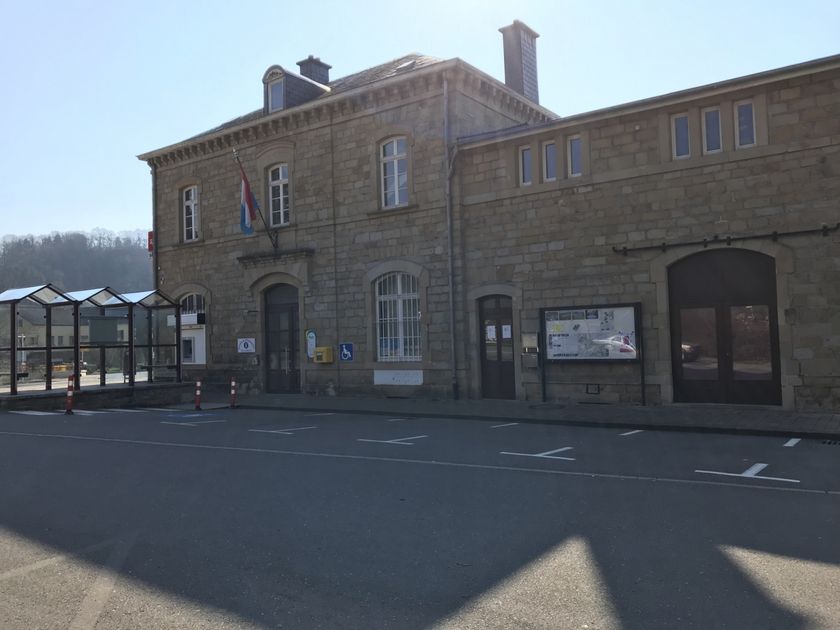
Journey
Nearest bus stop: Reisdorf, Cité J. Hientgen (100 m)
Parking:
Nearest parking lot: Rue Kleingreisduerf (50 m)


 This website uses technology and content from the Outdooractive Platform.