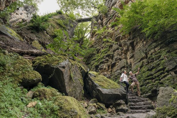
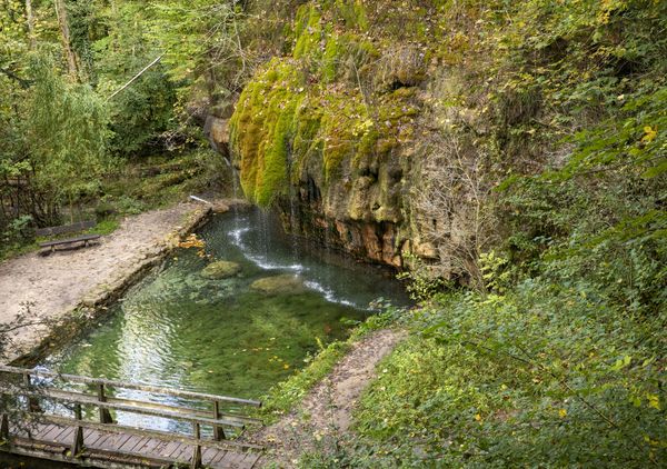
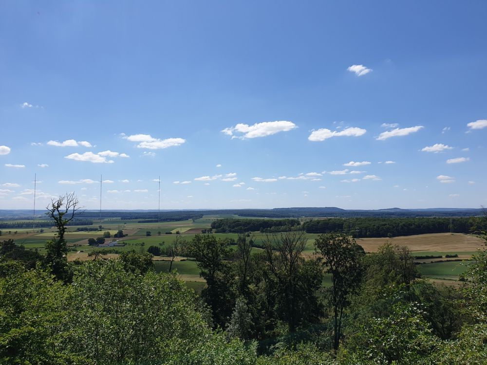
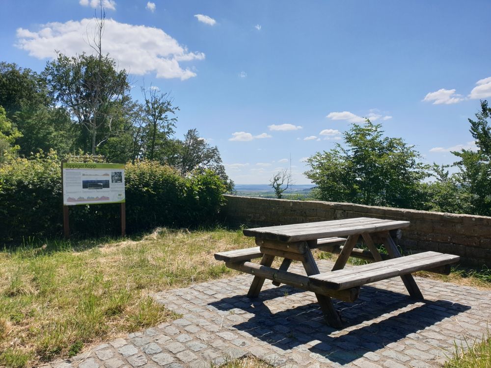
Rippeger Kopp

Where? N 11, 6240 Bech

Rippeger Kopp

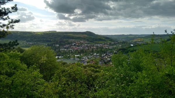
This geosite is right on the way - a parking lot on the E29 marks the point slightly below the Rippeger Kopp, a hill overlooking the wide marl landscape in the south of the Mullerthal region. The clayey marlstone from the time of Keuper between 235 and 200 million years ago is the pedestal former of the cuesta landscape. A pedestal former is a "softer", less ablation resistant rock, often lying under a "harder".
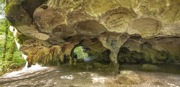
The Rippeger Kopp is located on the edge of the southern stratum of the Luxembourgish Sandstone from the time of the Lower Lias 199 to 175 million years ago. The Luxembourgish Sandstone is called step former here because it is resistant to erosion, lies on top and is thus visible.

Opening hours

Contact

Address: Rippeger Kopp
N 11
L-6240 Bech
Show on map

More sites

© ORT MPSL
Rock formation "Alkummer"
Impressive dolomite rock gorge on the local circular hiking trail R8 and on Mullerthal Trail Route 1.
Find out more
Schiessentümpel / Schéissendëmpel waterfall
Find out more
© ORT MPSL
Al Schmelz – Site of a former blast furnace
Ponds and relics of a former blast furnace from the 18th and 19th centuries in Fischbach.
Find out more
Gipskaul Rosport
Gipskaul Rosport
Find out more
Rock formation "Perekop"
You can climb up the crevice in this impressive rock giant along the main road from Echternach to Berdorf and enjoy the view from the top
Find out more
© C. Bosseler
Rock formation "Huel Lee/Hohllay"
Fascinating cave created by the extraction of millstones.
Find out more
© ORT MPSL
Rock formation "Kuelscheier"
Visit the pitch-dark crevice of about 100 m length.
Find out more
Viewpoint "Héikräiz"
Historic stone cross
Find out more
Rock formation "Gefale Leeën"
Imposing rock formation made of "fallen" rocks.
Find out more