LDAV
© Th. Bichler

Lëtzebuerg, dat ass Vakanz!

« Lëtzebuerg, dat ass Vakanz ! »

In 2025, the Ministry of the Economy's national campaign is all about nature.

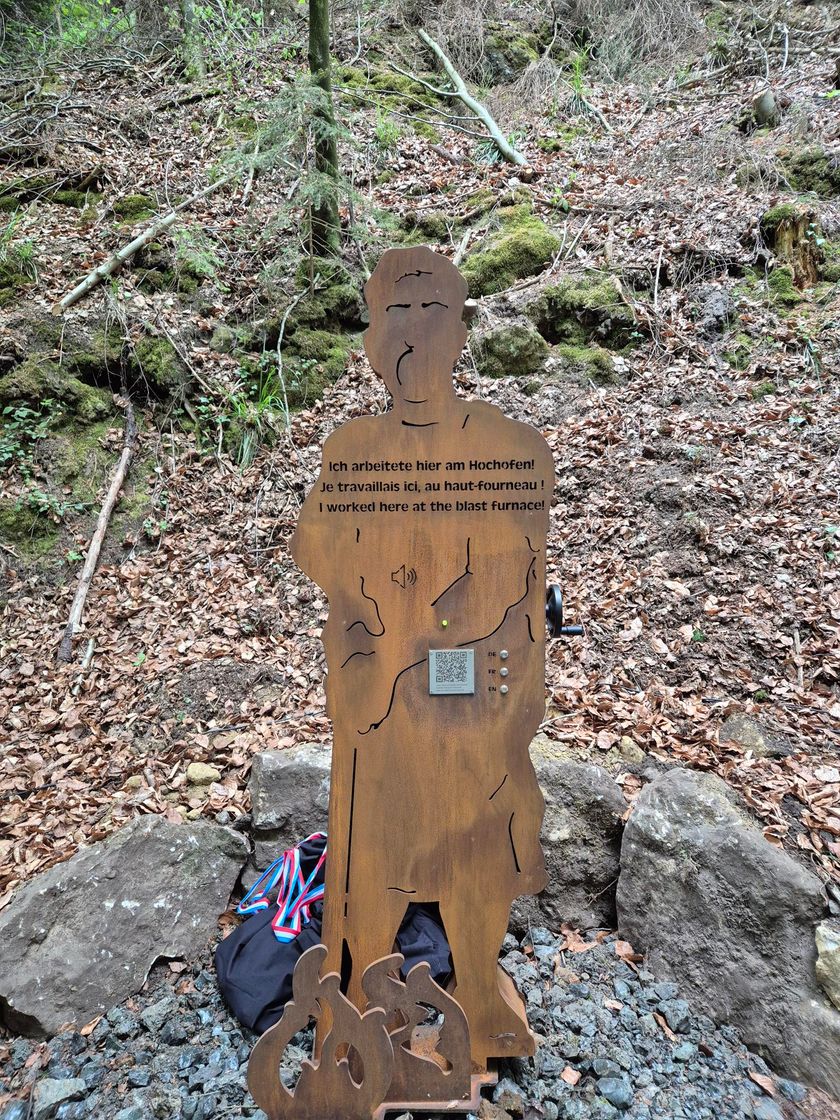
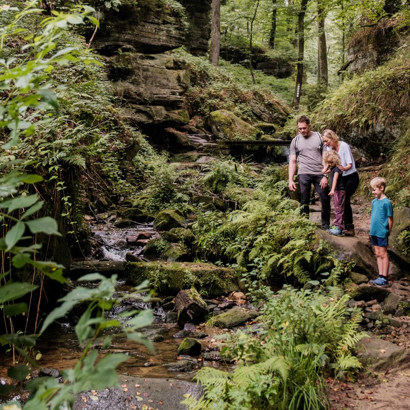
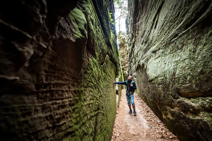
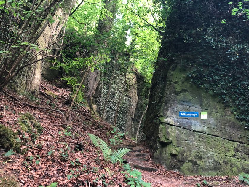
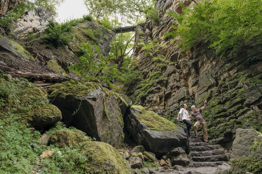
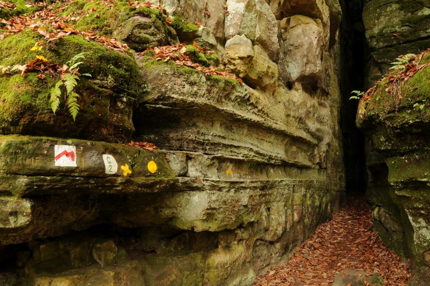
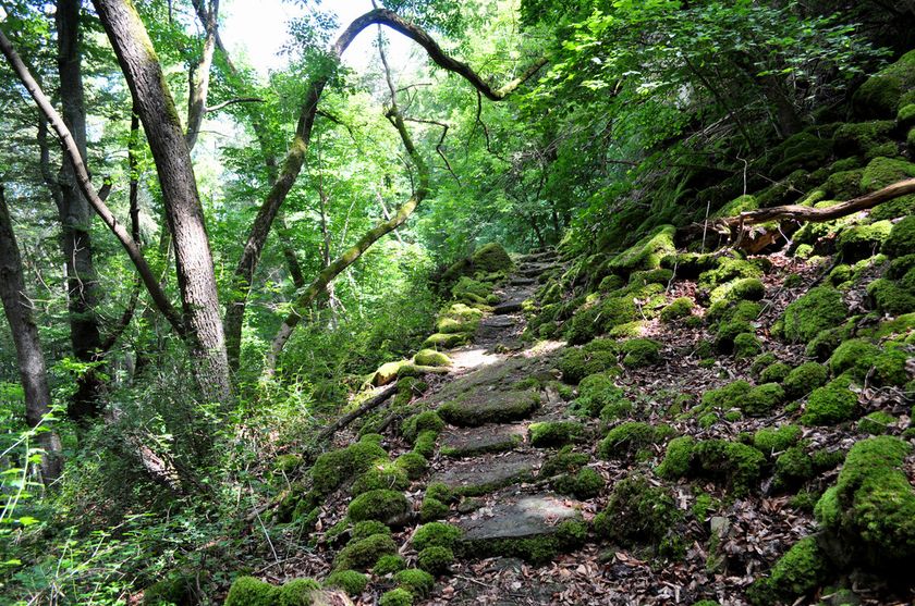
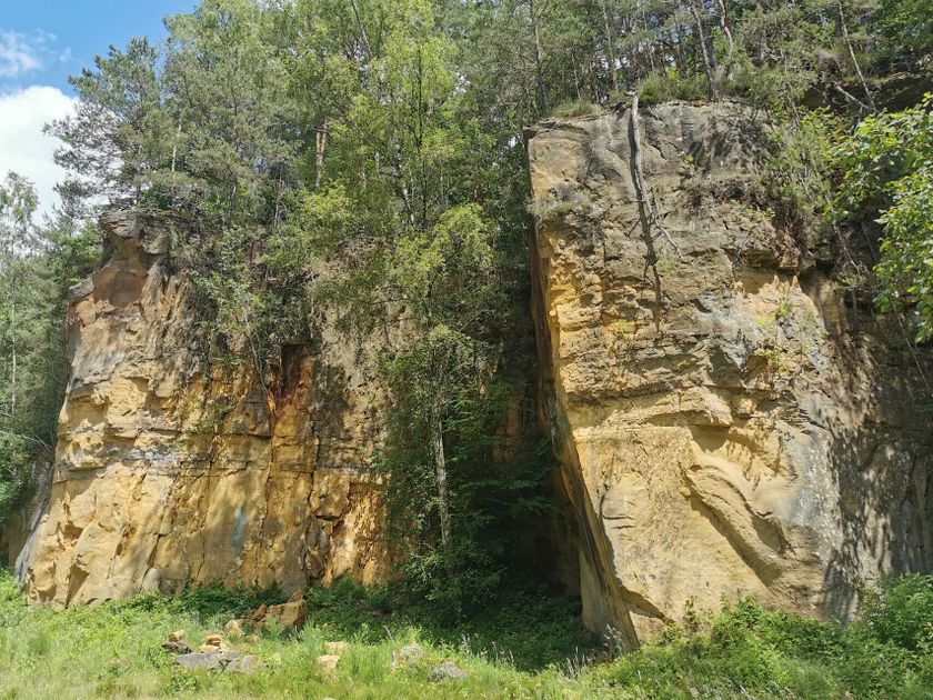
In the Mullerthal Region, the geosites as well as the Geo-Pad Haupeschbaach Halerbaach in Beaufort and the Geo-Pad Hëlt in Rosport are at the centre of the campaign.

The map provides a good overview of the geosites in the Mullerthal Region - Luxembourg's Little Switzerland and the best way to reach them by public transport.

Mëllerdall UNESCO Global Geopark Map

Discover the spectacular rocky landscape of the Mëllerdall UNESCO Global Geopark and explore the 13 geosites:

13 results
  • © C. Bosseler
    Rock formation "Huel Lee/Hohllay"
    Fascinating cave created by the extraction of millstones.
    Find out more
  • © ORT MPSL
    Rock formation "Kuelscheier"
    Visit the pitch-dark crevice of about 100 m length.
    Find out more
  • © C. Bosseler
    Travertine source Kallektuffquell
    Travertine source Kallektuffquell
    Find out more
  • © ORT MPSL
    Rock formation "Champignon"
    Mushroom-shaped rock formation with exceptional views of the hilly marl landscape.
    Find out more
  • © Pancake! Photographie
    Rock formation "Wollefsschlucht"
    Imposing rock gorge with rock walls rising up to 50 m in height.
    Find out more
  • © ORT MPSL
    Quarry "Steekaul Beaufort"
    Quarry "Steekaul Beaufort"
    Find out more
  • © Pancake! Photographie, Visit Luxembourg
    Thematic paths
    Geo-Pad Haupeschbaach and Halerbaach
    Distance: 4,94 km
    Duration: 2:00 h
    Difficulty: medium
    Find out more
  • © ORT MPSL
    Rock formation "Alkummer"
    Impressive dolomite rock gorge on the local circular hiking trail R8 and on Mullerthal Trail Route 1.
    Find out more
  • © ORT MPSL
    Rock formation "Noumerleeën"
    Discover a miniature image of the sandstone region of Luxembourg's Little Switzerland.
    Find out more
  • © A. Schösser
    Geolandscape "Wanterbaach-Siweschlëff"
    Explore the impressive rock labyrinth amid steep rocky gorges.
    Find out more
  • © ORT MPSL
    Al Schmelz
    Ponds and relics of a former blast furnace from the 18th and 19th centuries in Fischbach.
    Find out more
  • © (c) NGPM Elisabeth Medinger, (c) NGPM Elisabeth Medinger
    Thematic paths
    Geo-Pad Hëlt
    Distance: 4,23 km
    Duration: 1:30 h
    Difficulty: easy
    Find out more
  • Schiessentümpel / Schéissendëmpel waterfall
    Schiessentümpel / Schéissendëmpel waterfall
    Find out more