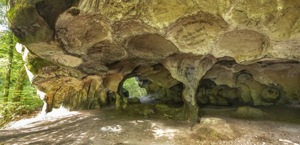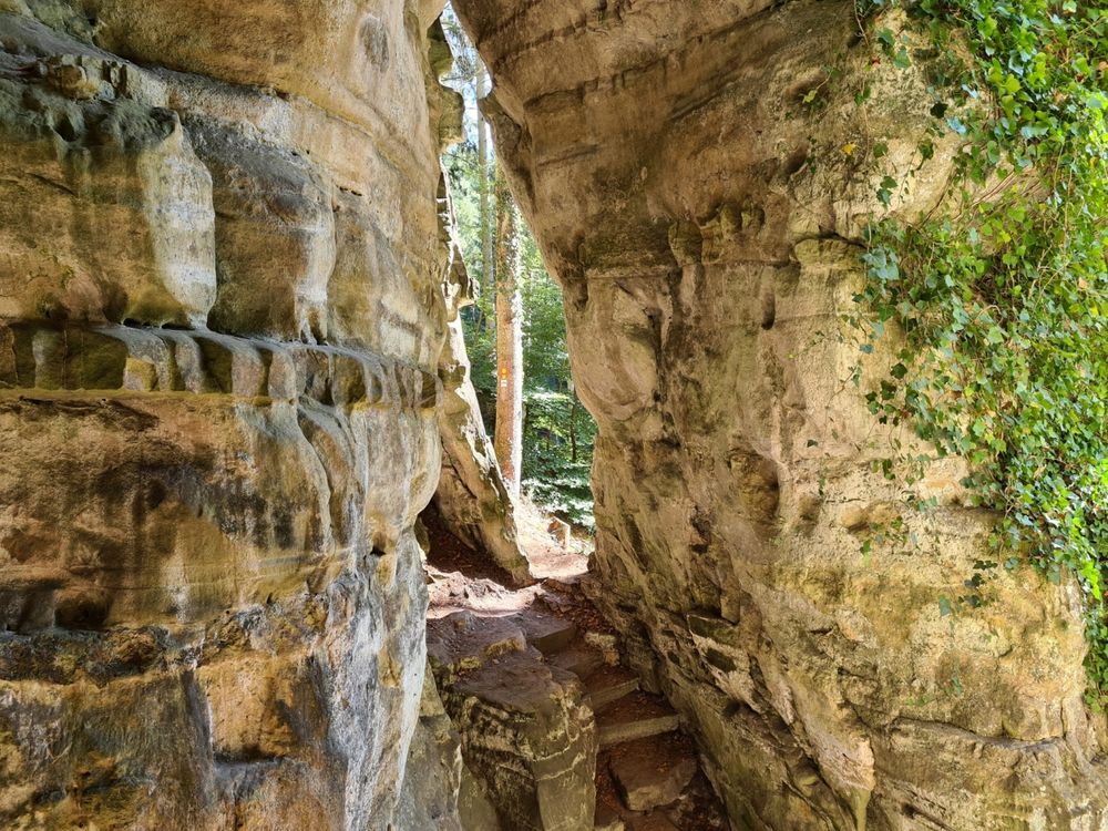
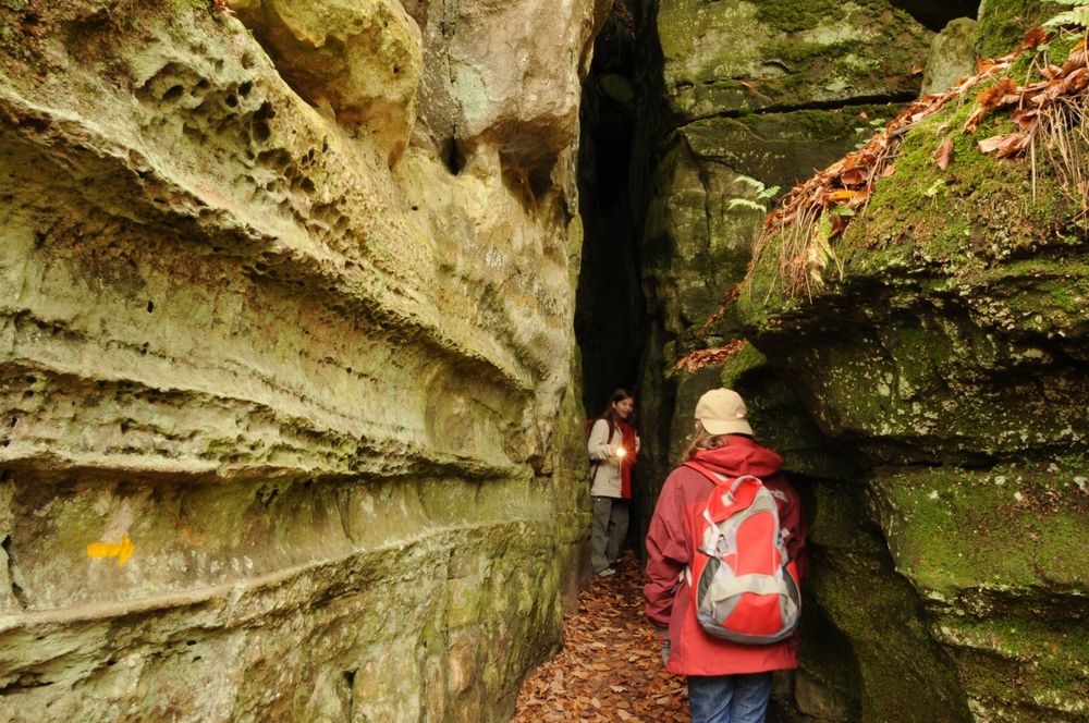
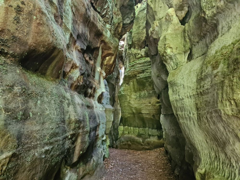

Rock formation "Kuelscheier"
Visit the pitch-dark crevice of about 100 m length.
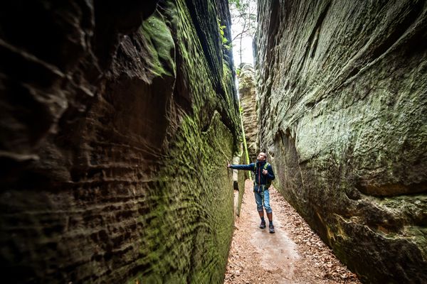
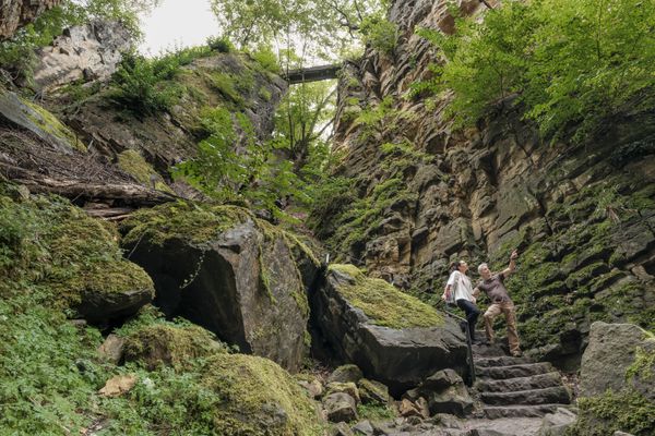
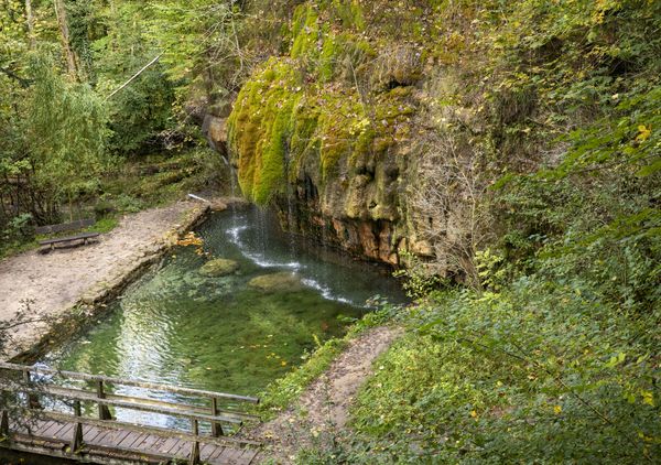
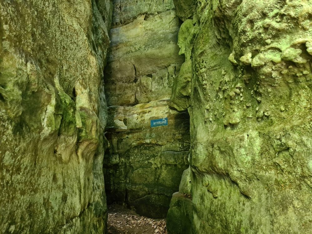
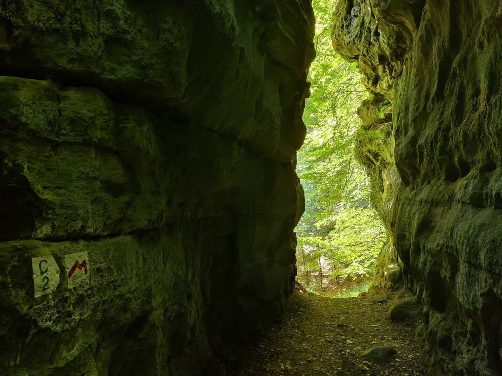
The Kuelscheier is a rock group with a special attraction in its middle: A dark, narrow rock tunnel about 100 meters long, which is closed at the top. It was created when sandstone blocks separated by clefts along the rock face. A source below the rocks marks the transition from the permeable sandstone to the underlying less permeable, clayey marls.
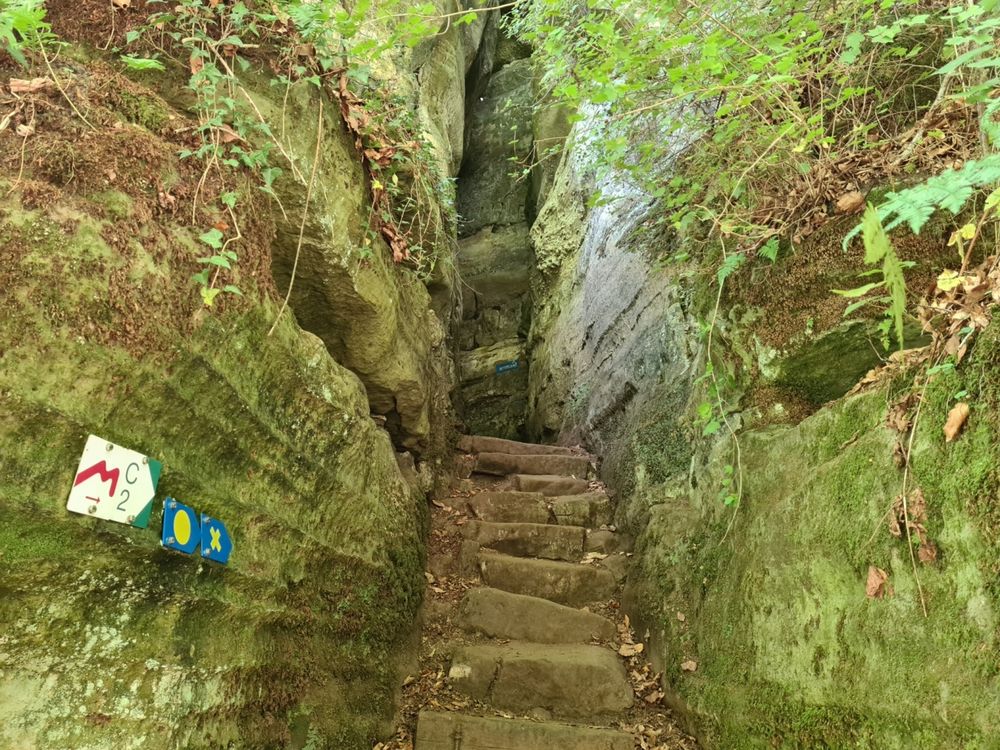
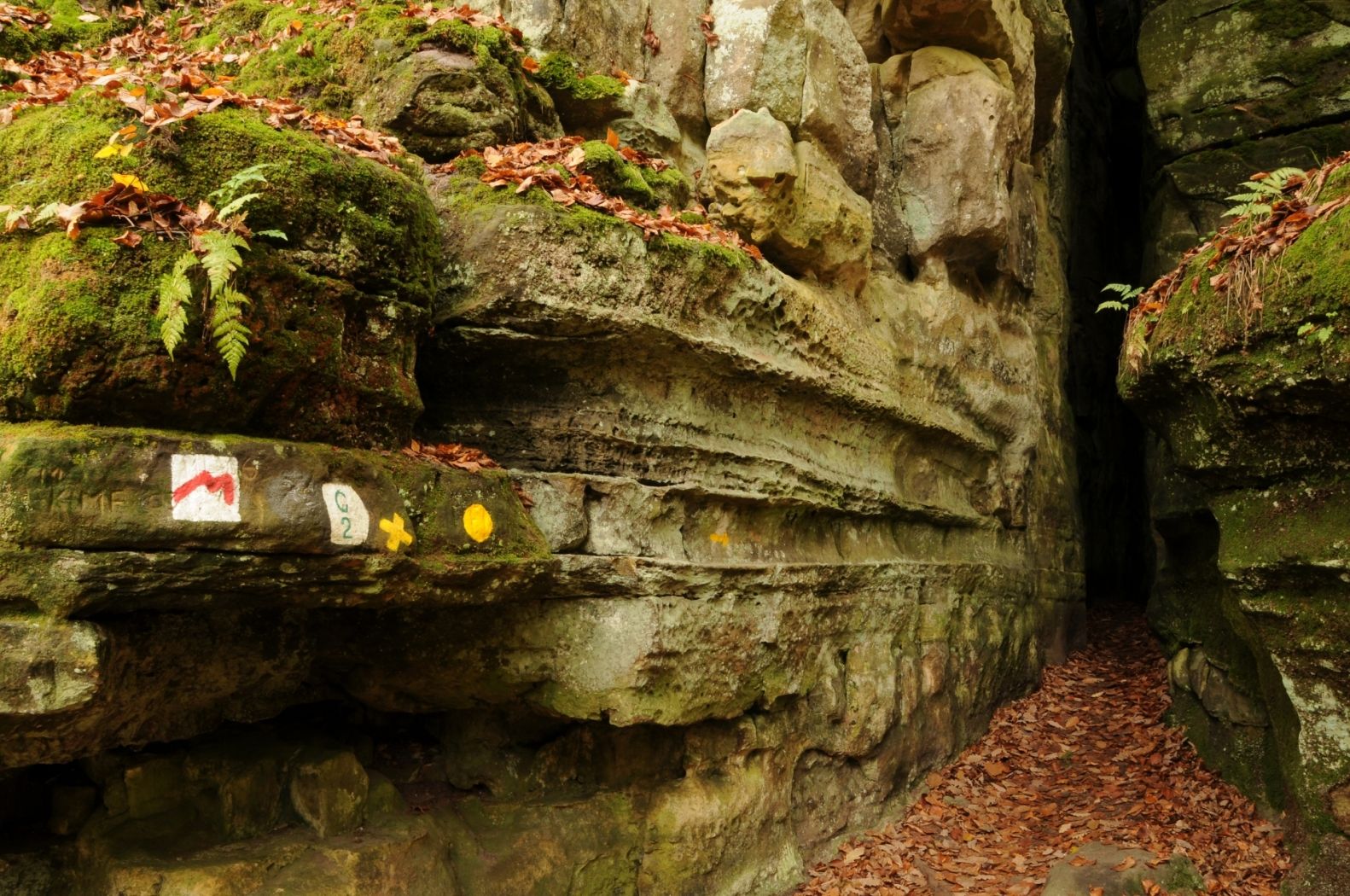
The rock passage is in places so narrow that only "one-way traffic" is possible. A flashlight is necessary to explore the rock tunnel through which a path passes.
The name "Kuelscheier" probably developed from the fact that charcoal from the coal mines in the surrounding area was temporarily stored in the clefts of the rock group. The columns served as a kind of barn and thus got the name "Kuelscheier", ie "coal barn".
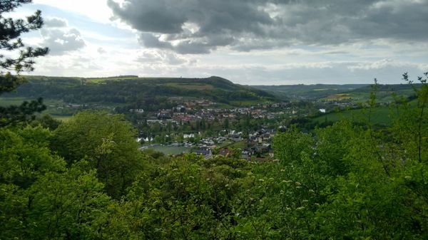
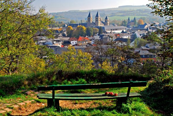
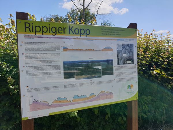
The Kuelscheier is located directly on Route 2 of the Mullerthal Trail. It can also be hiked via the local hiking trail C2.
Hike: C2 (4,2 km), Mullerthal Trail Route 2
Closest bus stop: Consdorf Konsdrëfermillen (1,6 km)