Description
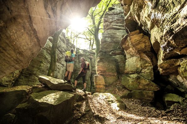
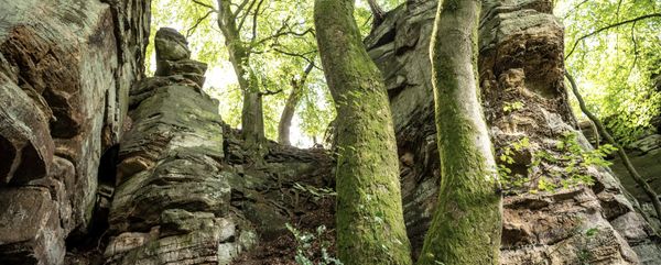
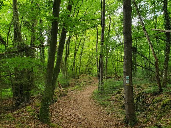
Between the abbey town of Echternach and the baroque castle Weilerbach, forested paths lead through the gorges and crevices of a fascinatingly bizarre sandstone rock landscape.
Wild rock landscape and magnificent architectural culture:
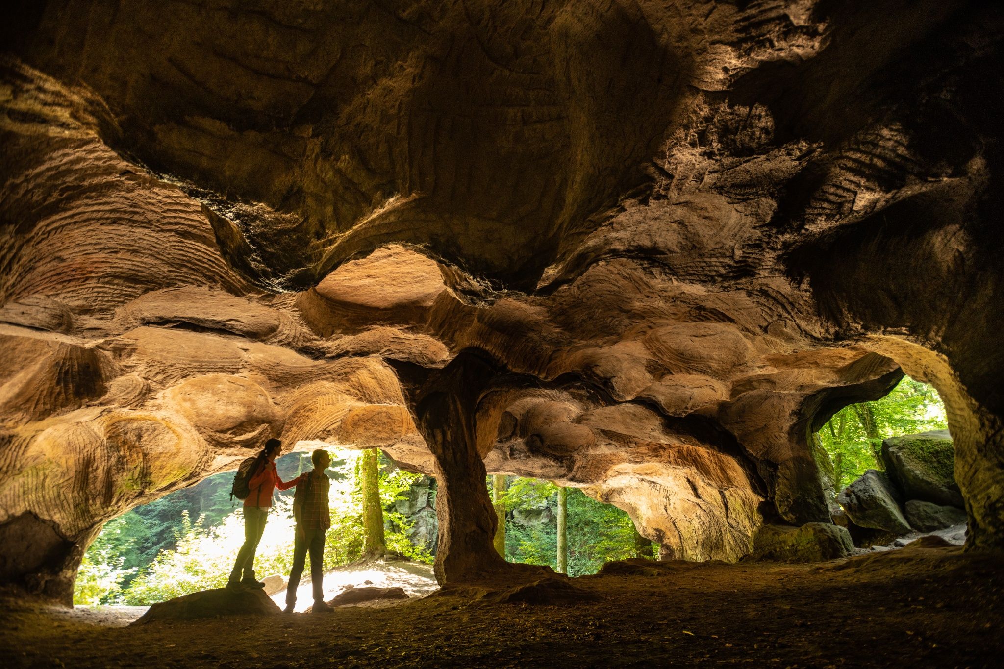
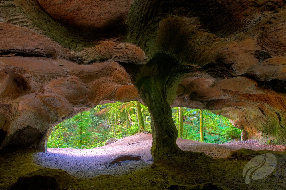
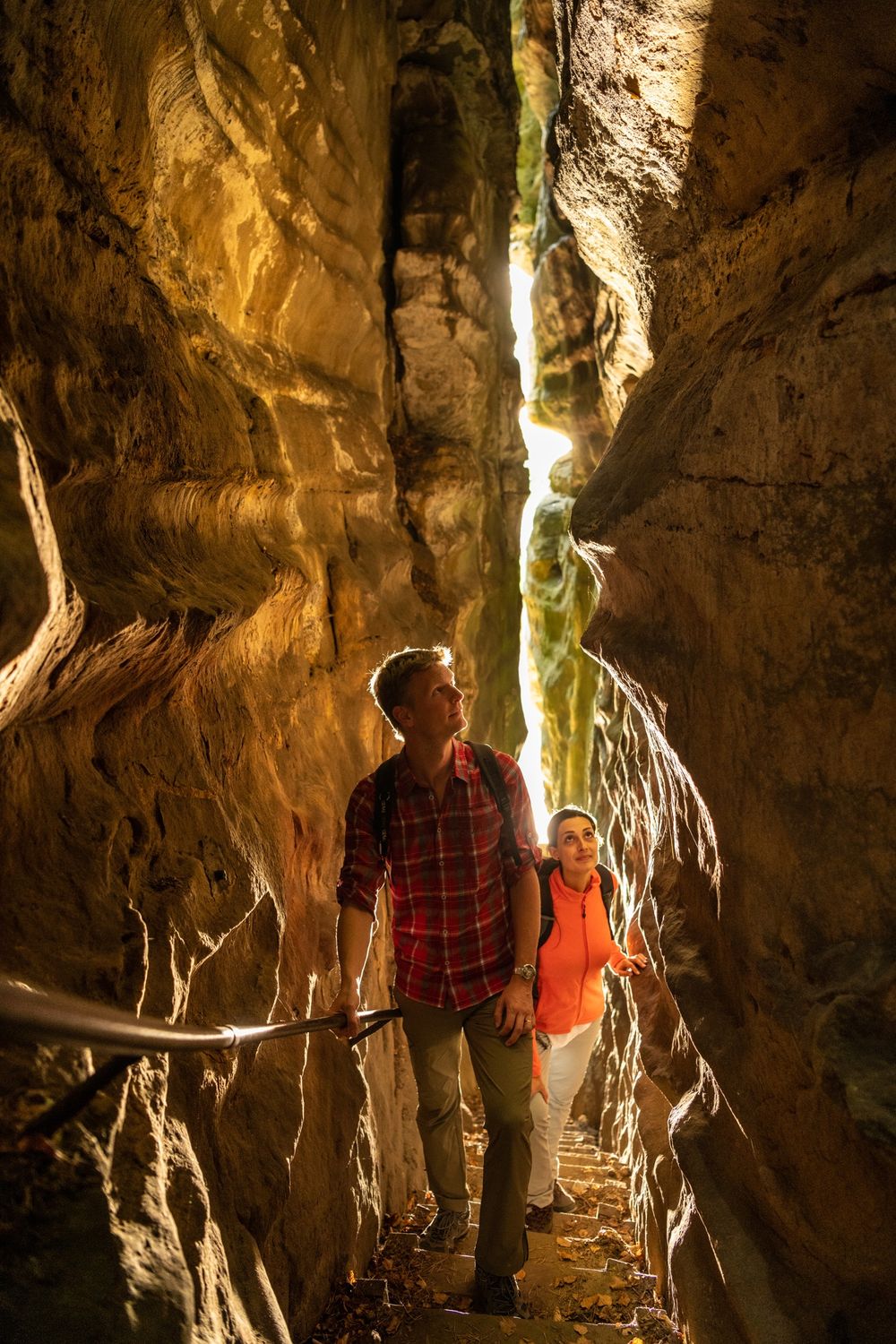
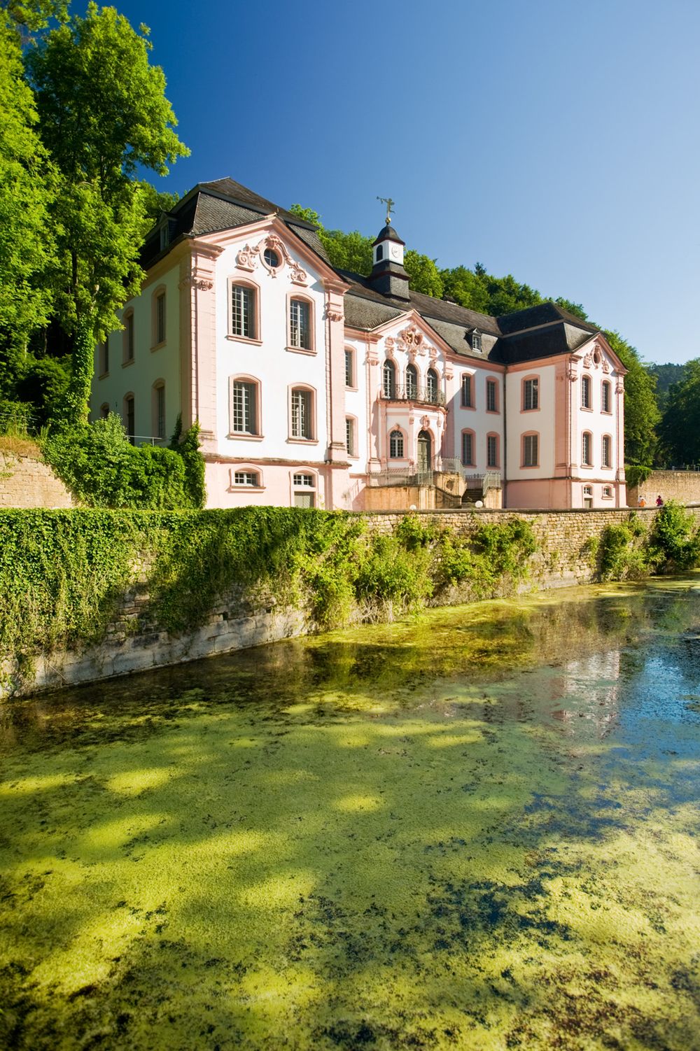
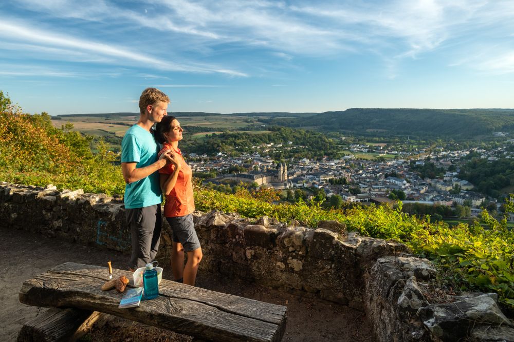
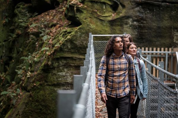
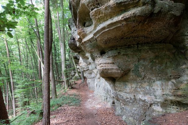
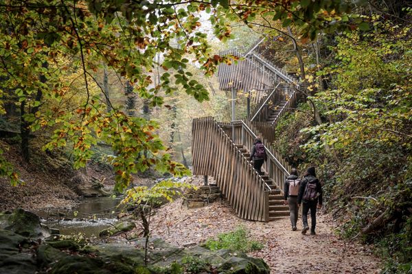
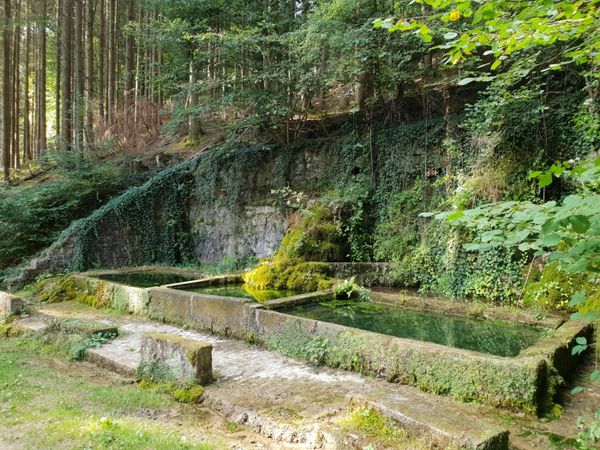
From the historic border town of Echternach, the path leads to the viewpoint "Troosknäppchen" and right into the wild nature and the fascinating rock labyrinth of the Wolfsschlucht. Millstones were once quarried in Huel Lee. The late baroque castle Weilerbach with its garden and former ironworks testifies to the close historical connection with the Echternach Abbey. Rocky paths lead up to the edge of the Ferschweiler Plateau with a magnificent view from the Liborius Chapel over Echternach.
Highlights on the way:
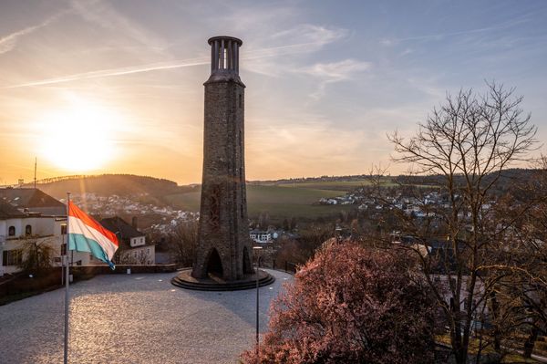
- City of Echternach with famous abbey and Mediterranean flair
- Spectacular rock formations such as Wolfsschlucht, Perekop, and "Pig Sties"
- Old millstone quarries of Huel Lee
- Baroque castle and ironworks Weilerbach
- View from Liborius Chapel over Echternach
Alternative starting points:
- D-54669 Bollendorf-Weilerbach, hiking parking lot on K19:
GPS: 49°50'07"N , 06°23'38"E
- L-6550 Berdorf, hiking parking lot Hohllay:
GPS: 49°48'60"N , 06°21'36"E
Further information:
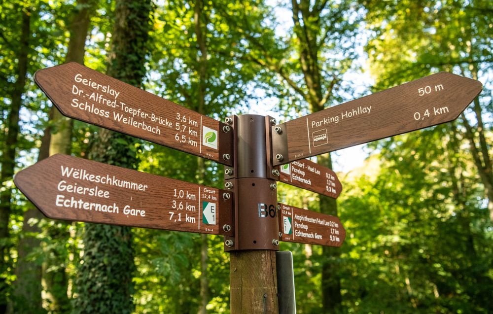
Part of the route overlaps with rock path 3 of the NaturWanderPark, another runs parallel to the Luxembourg Mullerthal Trail

Directions
The premium path is adequately marked with NaturWanderPark delux markings.
For your safety
For your own safety, please always stay on marked paths and do not leave them.
The hike is demanding and requires time. From autumn onwards, be sure not to start too late so as not to be caught by darkness. The rocky paths can be slippery, especially in wet weather and in autumn.
Equipment
Sturdy footwear, weather-appropriate clothing, and backpack provisions (especially water) are recommended.
Journey
Train: no direct train connection. The nearest train station is in L-Diekirch.
Bus: Rhine-Moselle Bus (www.bahn.de, www.vrt-info.de)
Information on Luxembourg public transport: www.mobiliteit.lu
We recommend for this route
a) traveling by car
b) if arriving by train, contacting regional taxi companies (www.editus.lu).
Getting there:
Please use the navigation-capable start address in the parking area for input into your navigation device.
Or use the online route planner at the end of the stage description.
Parking:
The starting points of the routes are also hiking parking areas.

 This website uses technology and content from the Outdooractive Platform.