Description
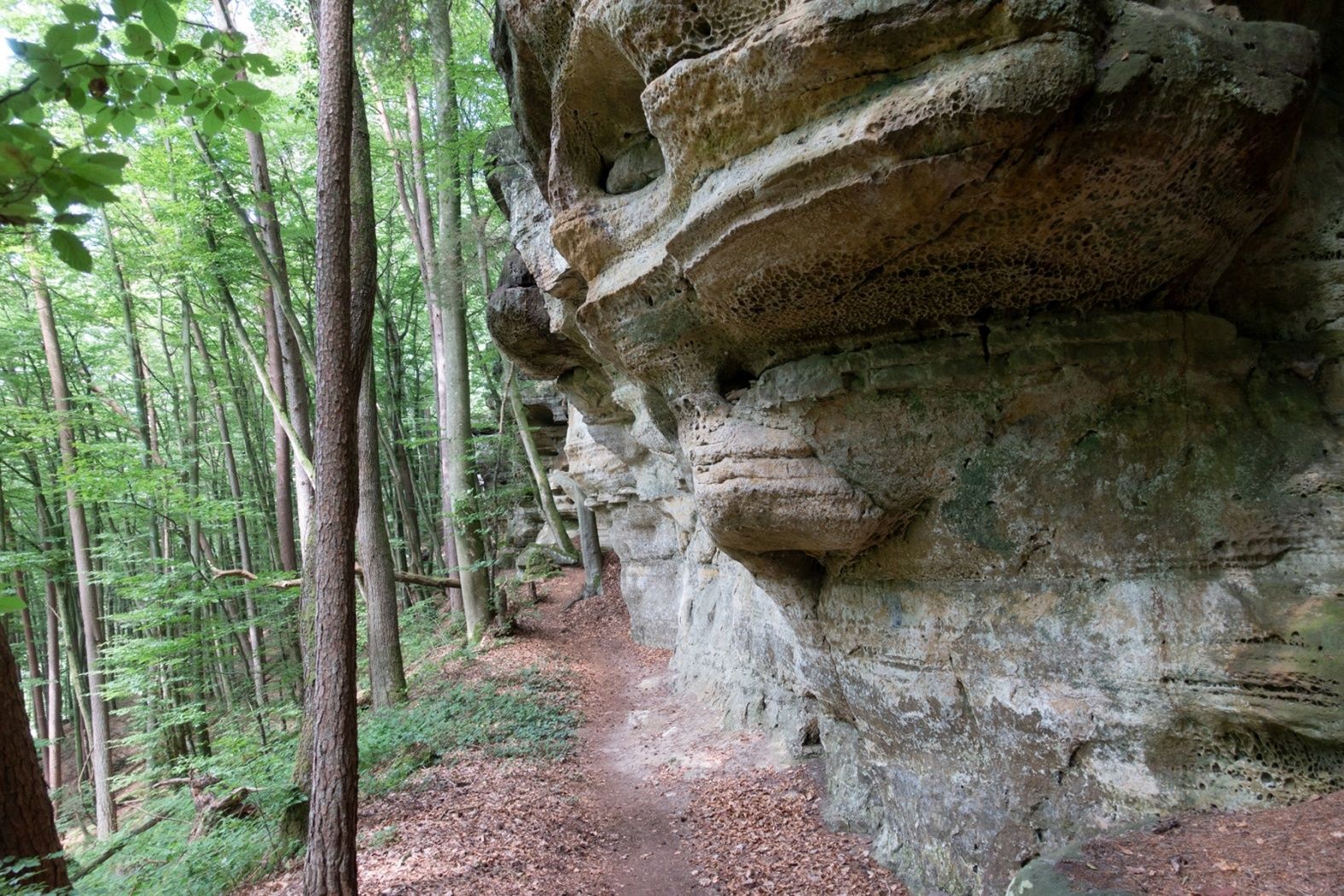
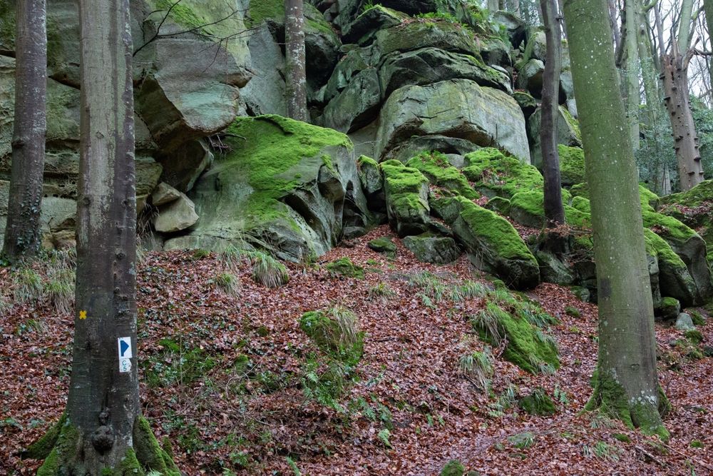
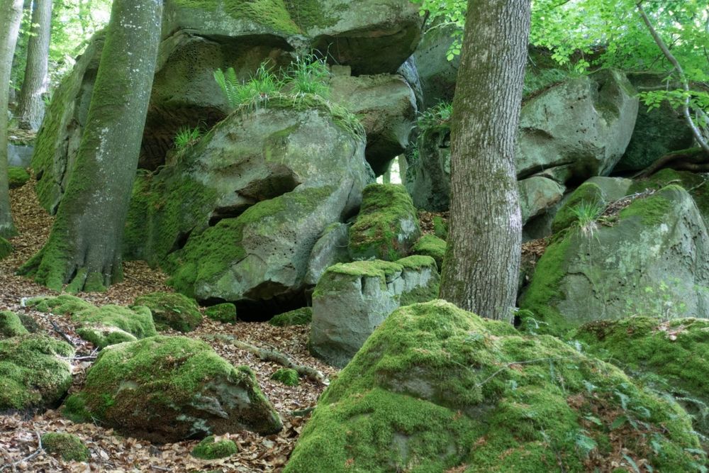
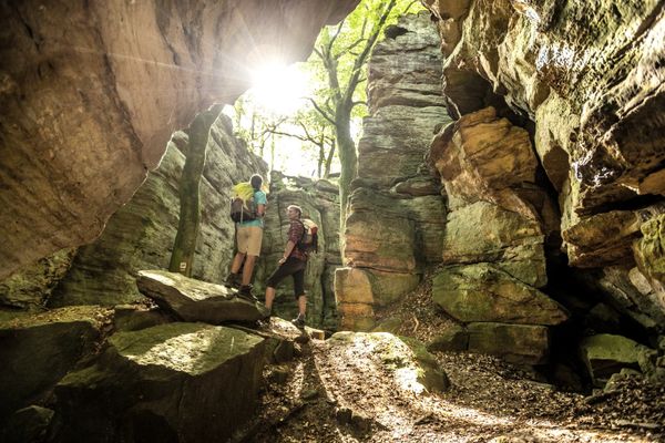
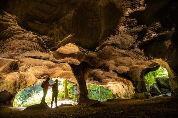
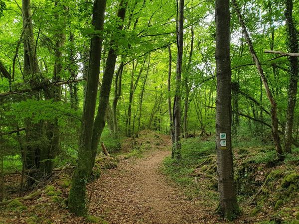
In a small area, highlights follow one after another here: massive rock blocks such as the Päerdskapp (Horse's Head), curious erosion shapes, and gaping rock crevices like the Schelmelee - a former dwelling - impress on this hiking trail with their astonishing variety and appearance. Due to narrow passages and rocky ground, this trail is one of the more challenging hiking trails in Consdorf and leads exclusively through the forest.
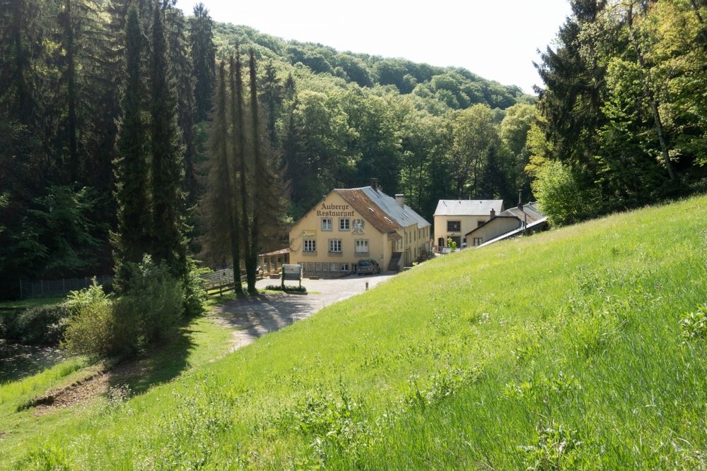
At the end of your walk, pop into the Konsdreffer Millen and sample the locally brewed “Echternach Beer”. It’s the perfect way to round off your walk with a taste of the Mullerthal Region – Luxembourg’s Little Switzerland.
Directions
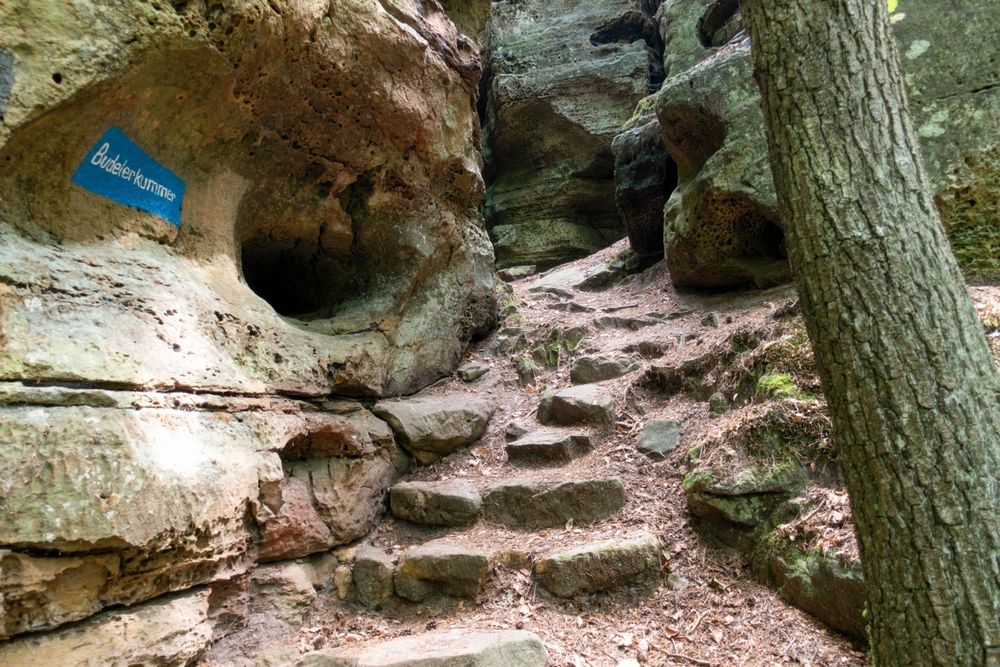
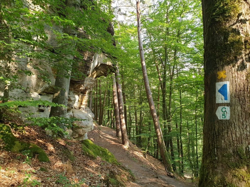
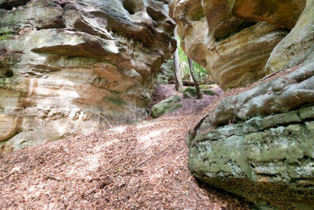
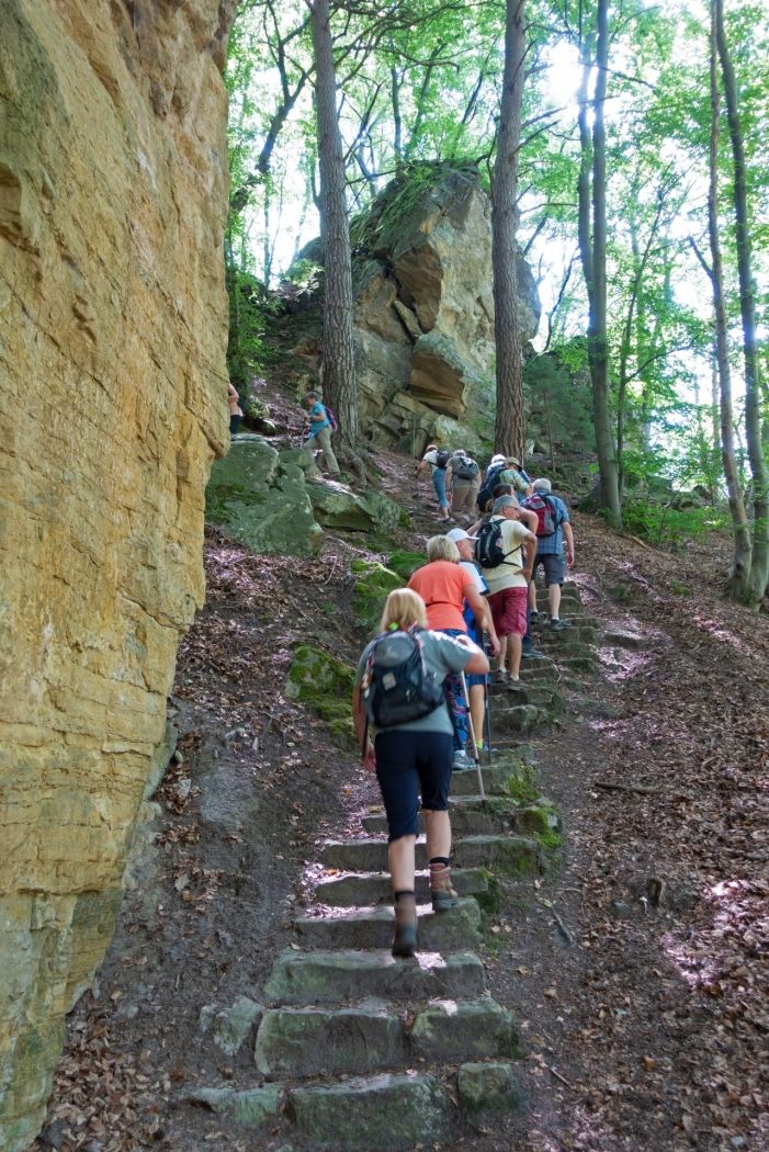
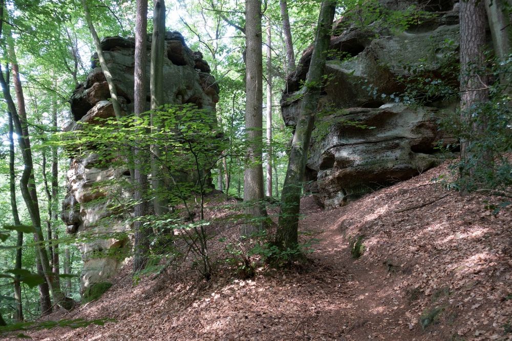
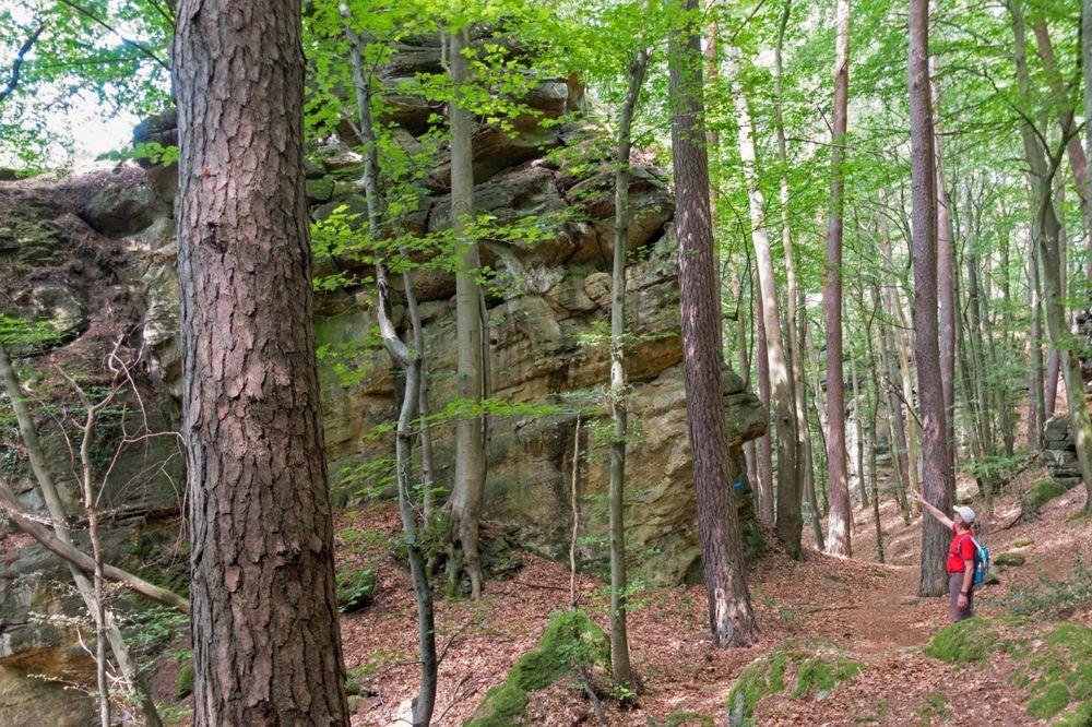
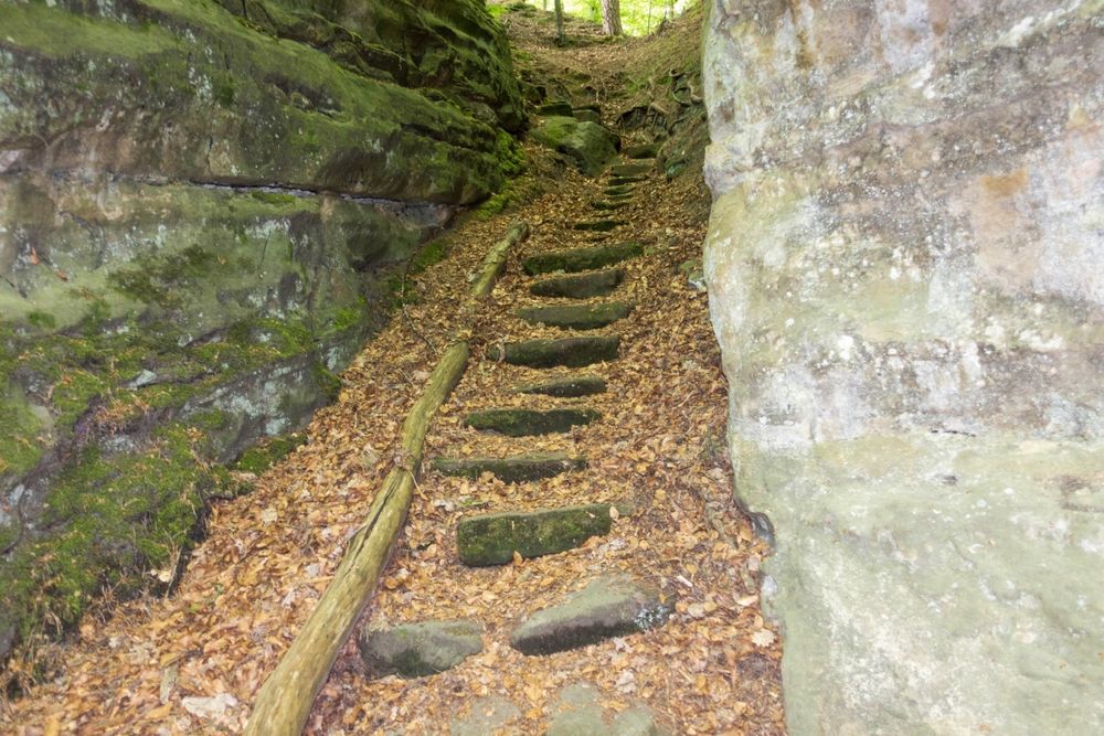
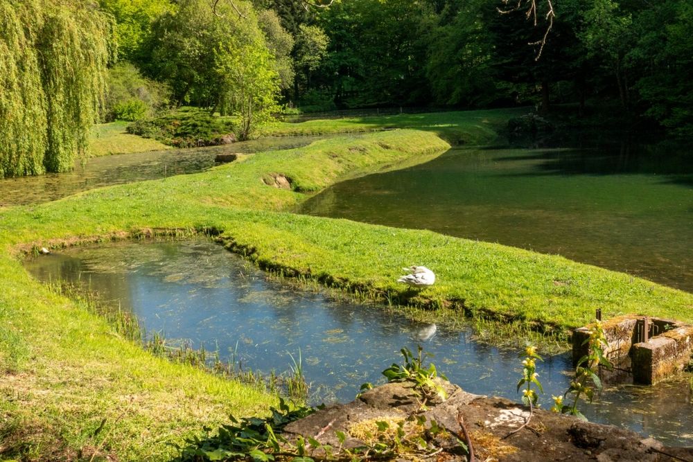
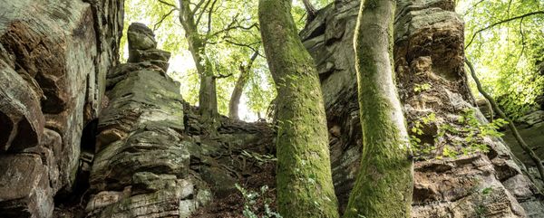
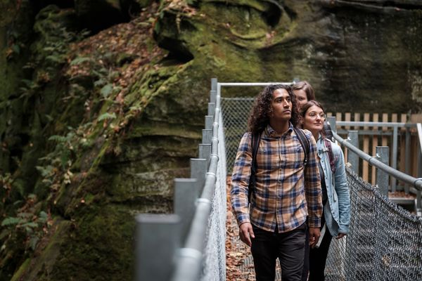
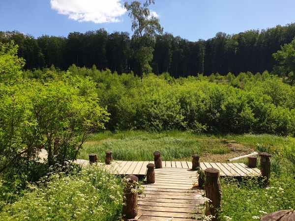
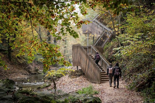
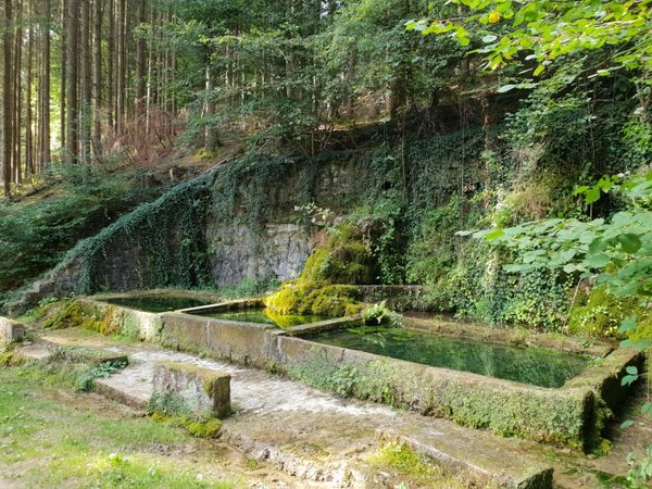
This hike initially passes the fish ponds of the former Consdorf mill area. A wide, almost level forest path now leads into the back valley of the Dosbaach to the impressive rock formation Rammelee. On a short, somewhat strenuous detour up to the viewpoint, you witness a spectacular rock world. The further course of the path winds through countless rock blocks supported by millions of years of ongoing erosion. You pass a wildly rugged rock wall with manifold weathering features and a lush flora such as the evergreen holly (Ilex aquifolium). Soon, the Schelmelee is reached, one of those typical overhanging rocks that have been used as dwellings by humans from the Stone Age until recent times. You now cross the Alsbaach dry-footed on a wooden bridge and after somewhat strenuous stair steps, you soon reach the high path, which then leads into a rocky labyrinth with many stairs and the narrow passage Buddelerkummer. Massive rock blocks such as the Päerdskapp (Horse's Head), curious erosion forms, and gaping rock crevices impress with their astonishing diversity and appearance. After descending into the valley of the Biersbaach, the last ascent awaits up to the foot of the steeply towering rock walls of Buergkapp, a significant former fortified refuge castle. After crossing it through two narrow rock crevices at the western end, the starting point awaits down in the valley.
Equipment
Sturdy footwear and something to drink.
Journey
Nearest bus stop: Consdorf, Konstrëfermillen (50 m)
Parking:
Nearest parking lot: Konstrëfermillen (50 m)

 This website uses technology and content from the Outdooractive Platform.