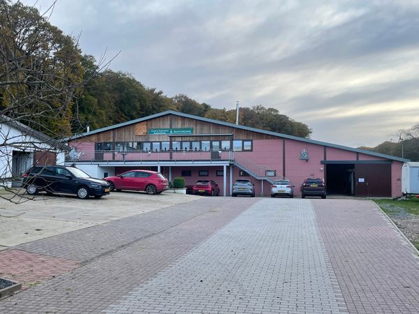

Ronn's Bikes, Kajak & Kanu
Where? 7, Route d'Echternach, 9392 Wallendorf-Pont
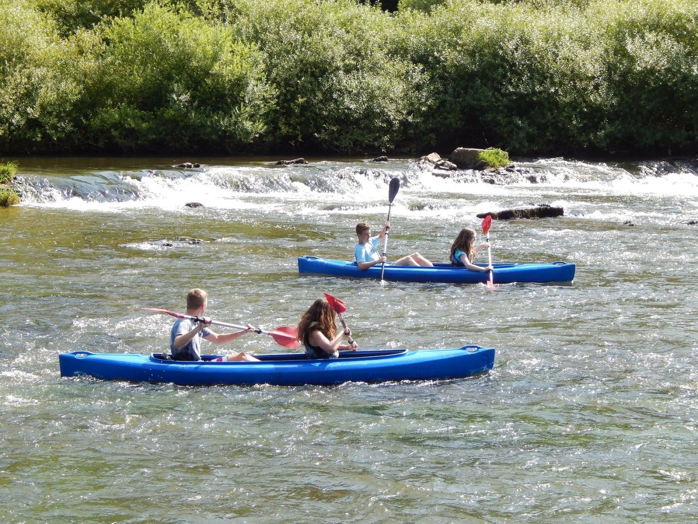
Ronn's Bikes, Kajak & Kanu
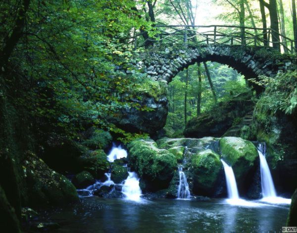
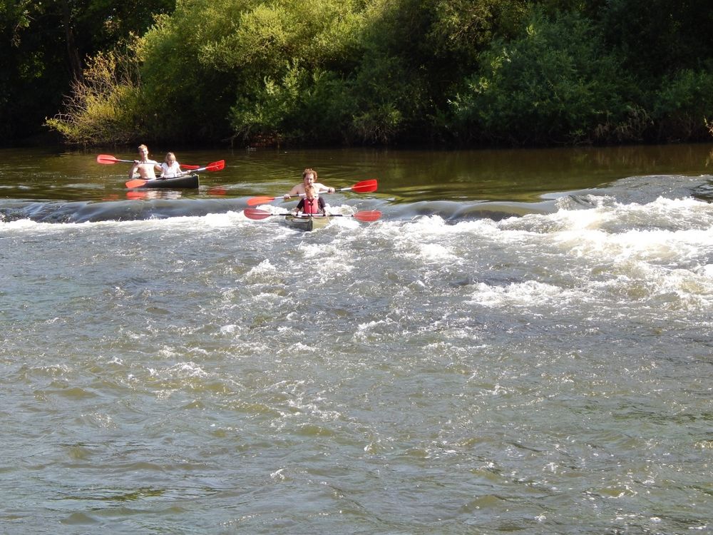
An adventurous trip with a kayak or canoe on the river is perfect to discover all the beauty of the region. The river “Sûre” is a beautiful border river between Luxembourg and Germany. The route is practicable for beginners, small water pirates, trained canoeists or nature lovers, romantics and groups and is situated between Wallendorf-Pont/Wallendorf and Bollendorf (11km). For this route 3 to 3.5 hours are necessary.
Prices:
- 1st Kajak € 22,00
- 2nd Kajak € 40,00
- 2nd with child ( max. 30 kg) € 42,50
- Canadien for max. 2 adults € 45,00
- Canadien for max. 2 adults and child ( max. 50 kg ) € 47,50
- Waterproof ton € 3.50
Price includes 17% VAT. Discounts for groups : from 20 pers 10%.
Closest bus stop: Wallendorf, Bei der Bréck (100m)
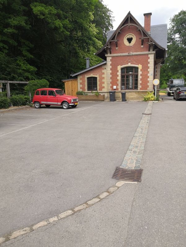
Closest parking lot: on site
Practical information
- Outdoor
Opening hours
Opening hours are subject to change. Please check them before your visit in order to be sure.
| Saturday | 25.07.2026 : 09:00 - 13:00 |
| Sunday | 26.07.2026 : 09:00 - 13:00 |
| Monday | 27.07.2026 : 09:00 - 13:00 |
| Tuesday | 28.07.2026 : 09:00 - 13:00 |
| Wednesday | 29.07.2026 : 09:00 - 13:00 |
| Thursday | 30.07.2026 : 09:00 - 13:00 |
| Friday | 31.07.2026 : 09:00 - 13:00 |