©Visit Luxembourg
Müllerthal Germany France

Local hiking route - H1

Starting point

Heffingen: Community centre

Destination

Heffingen: Community centre

Distance
7,53 km
Duration
1:55 h
Difficulty
medium
  • Condition
Highest point
362 Hm
Lowest point
306 Hm
Aggregated Ascent
114 Hm
Aggregated Descent
114 Hm
Circular routes Visit Luxembourg

Description

Scenic

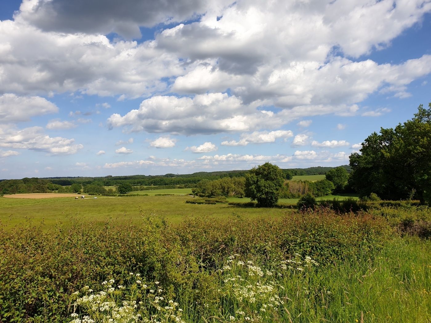
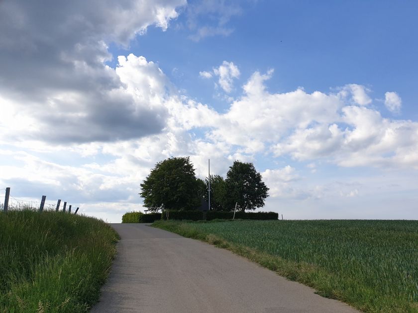
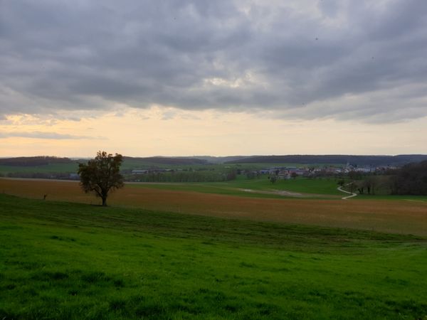
Scenic hiking route over the plateau along the Geotop Héikräiz - highly recommended in spring with sunny weather.

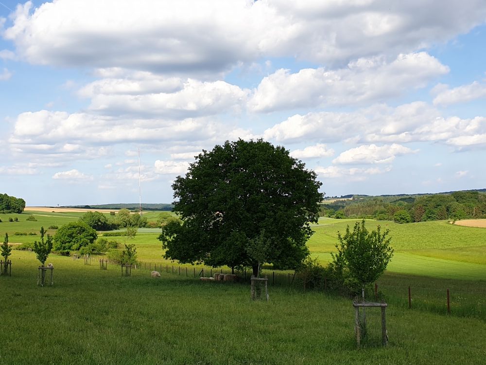
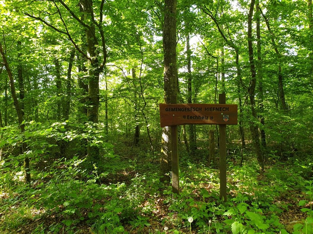
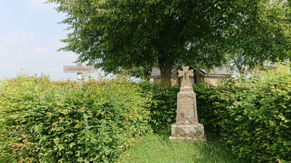
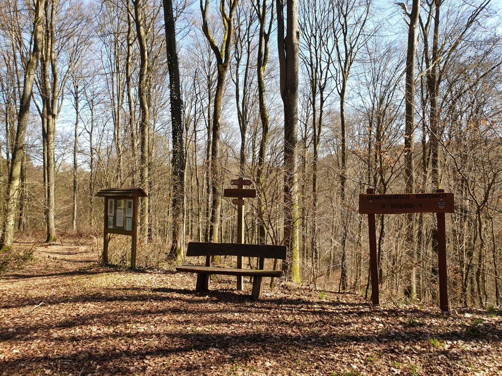
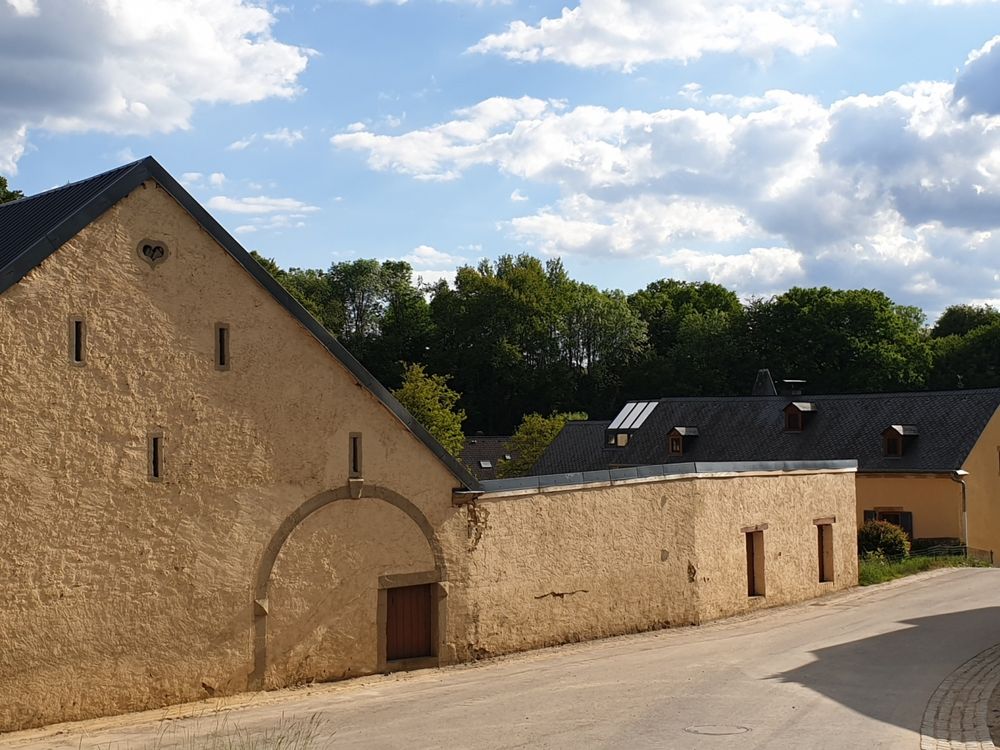
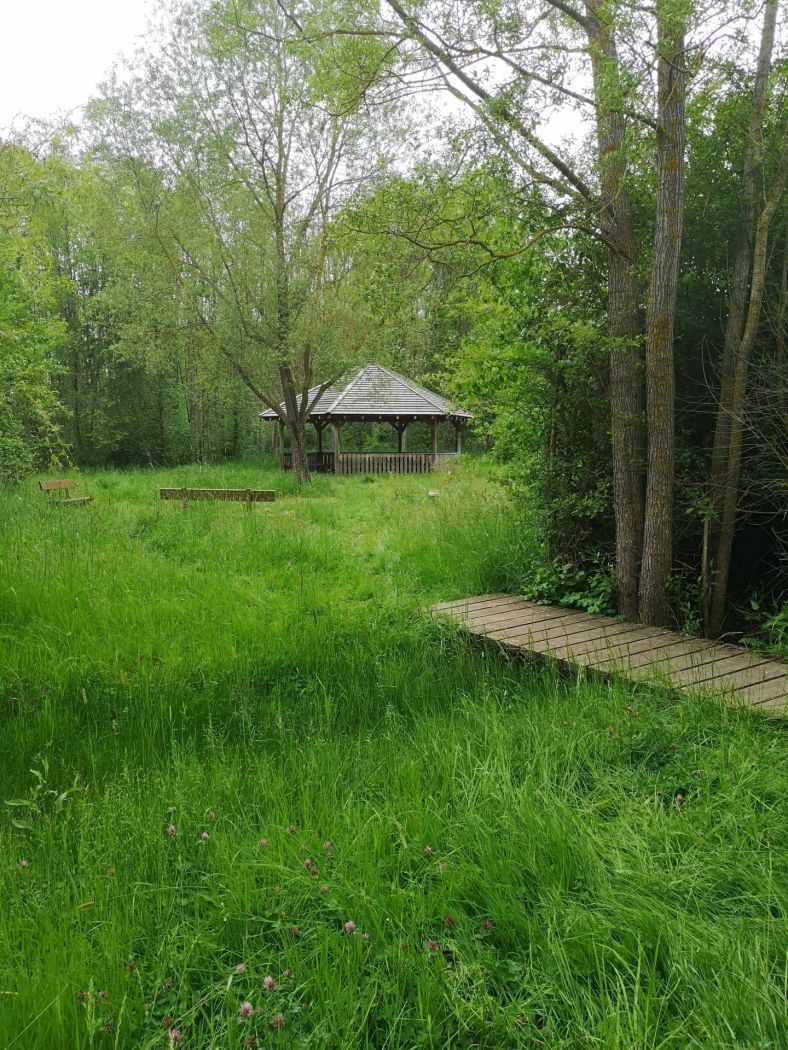
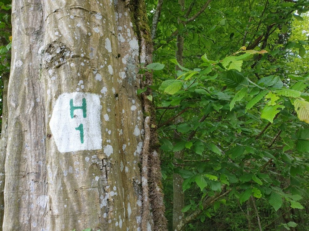
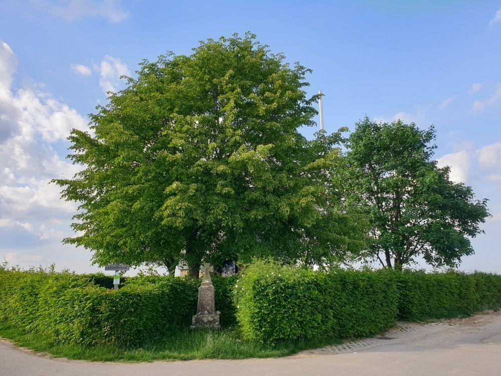
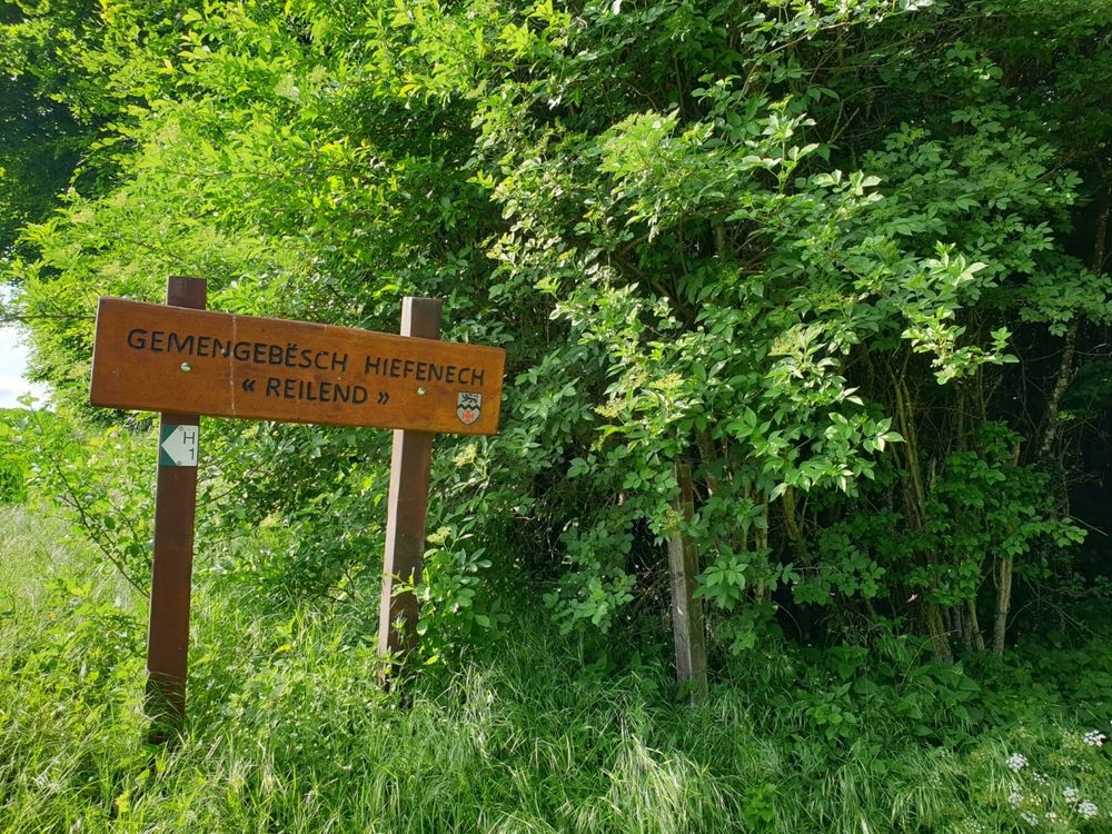
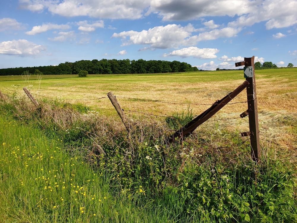
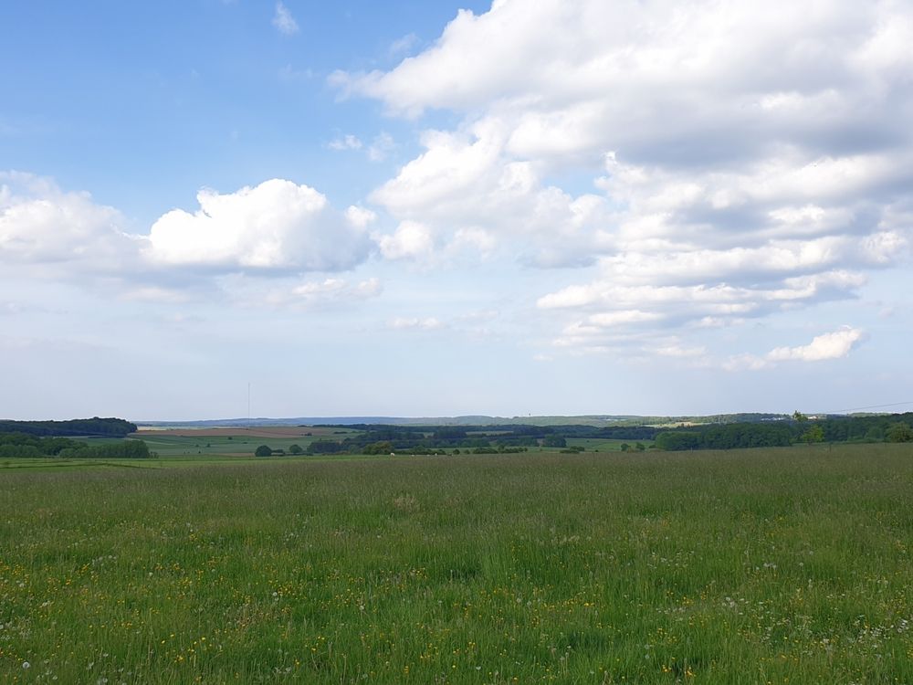
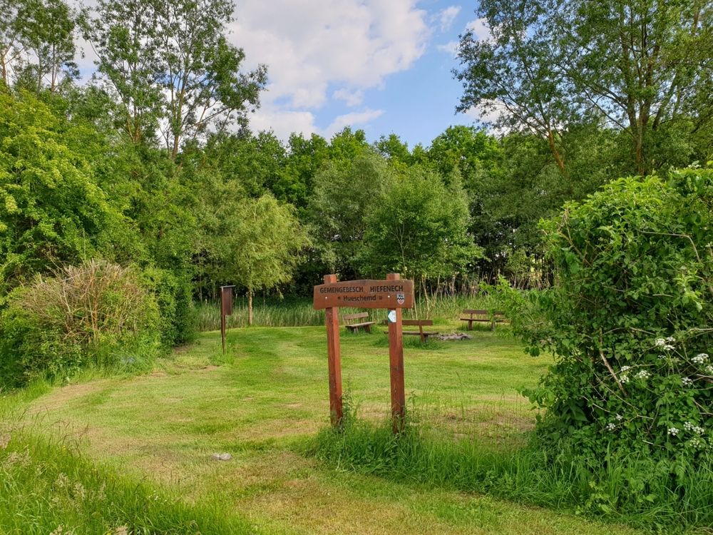
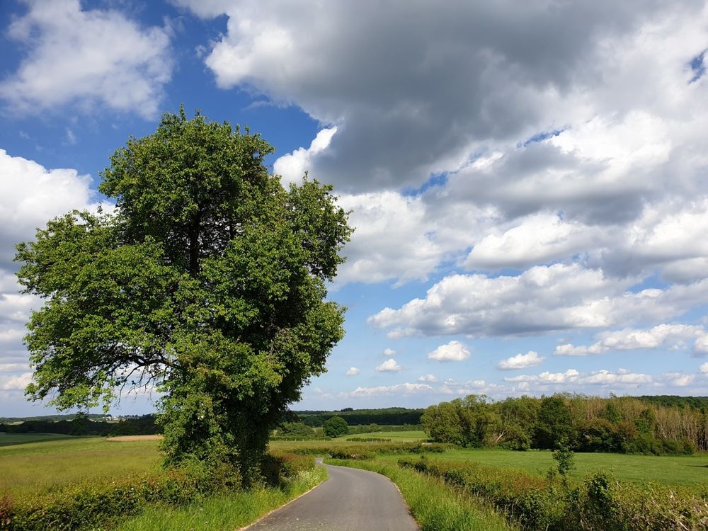
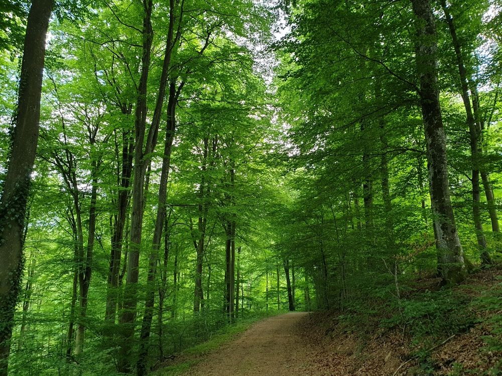
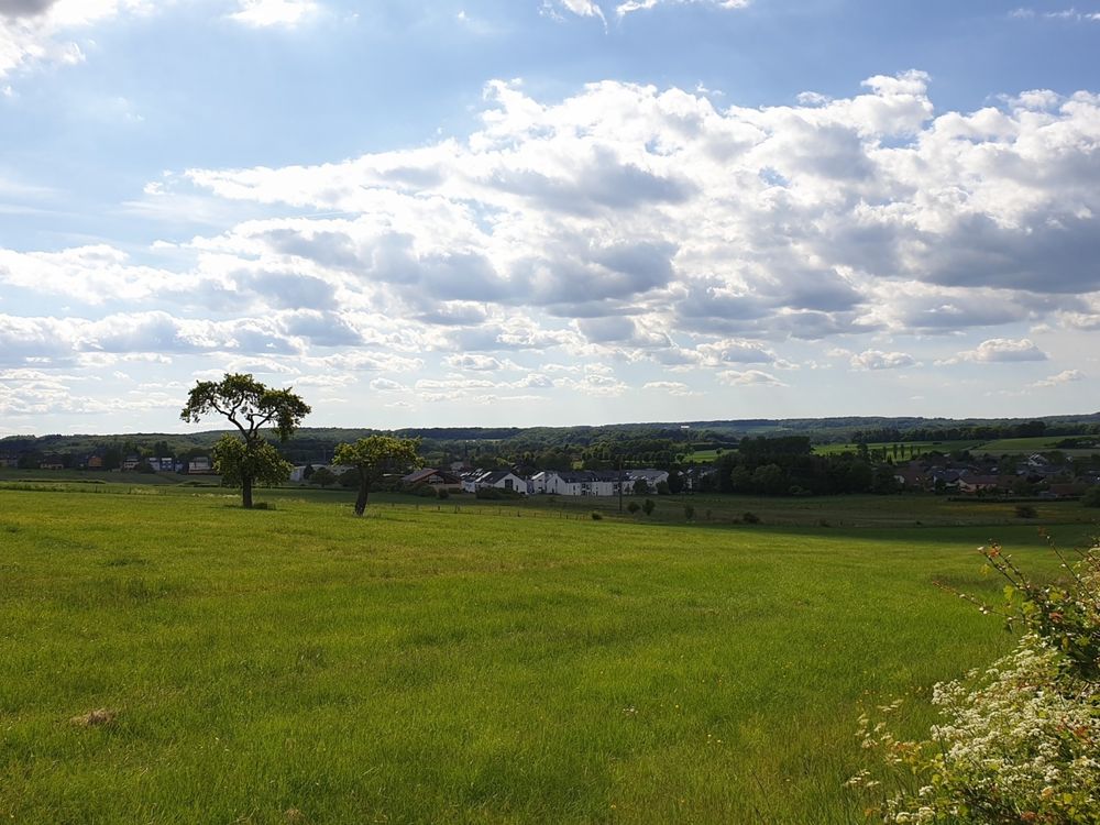
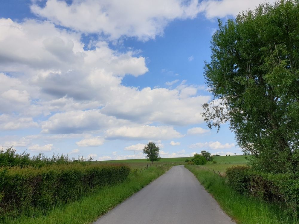
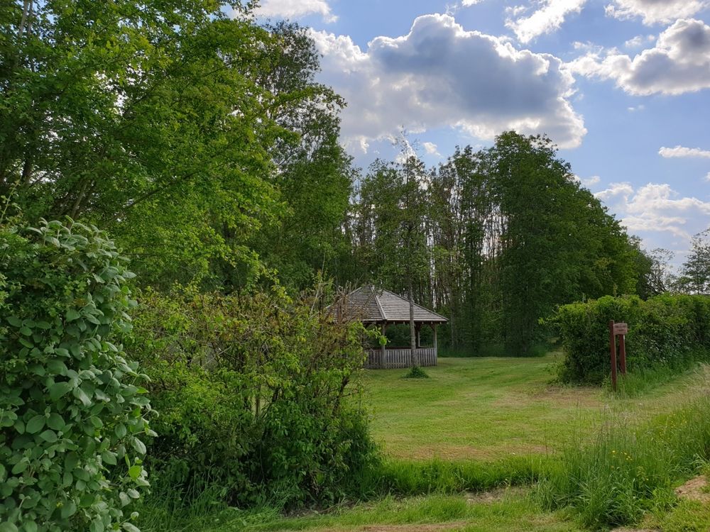
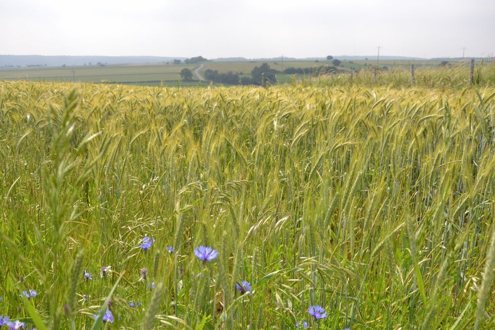
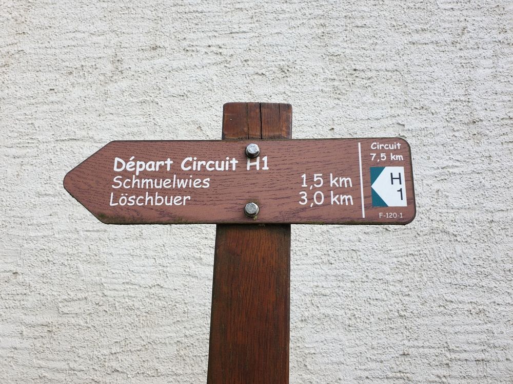
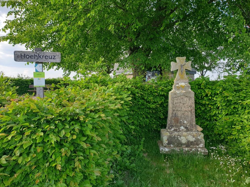
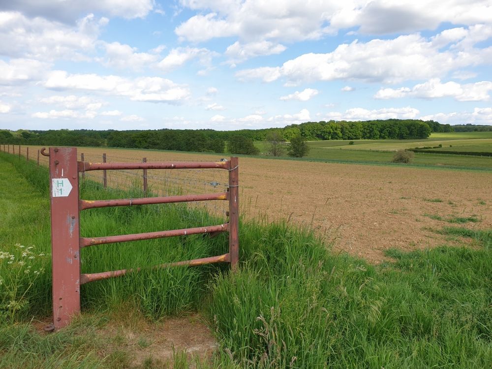
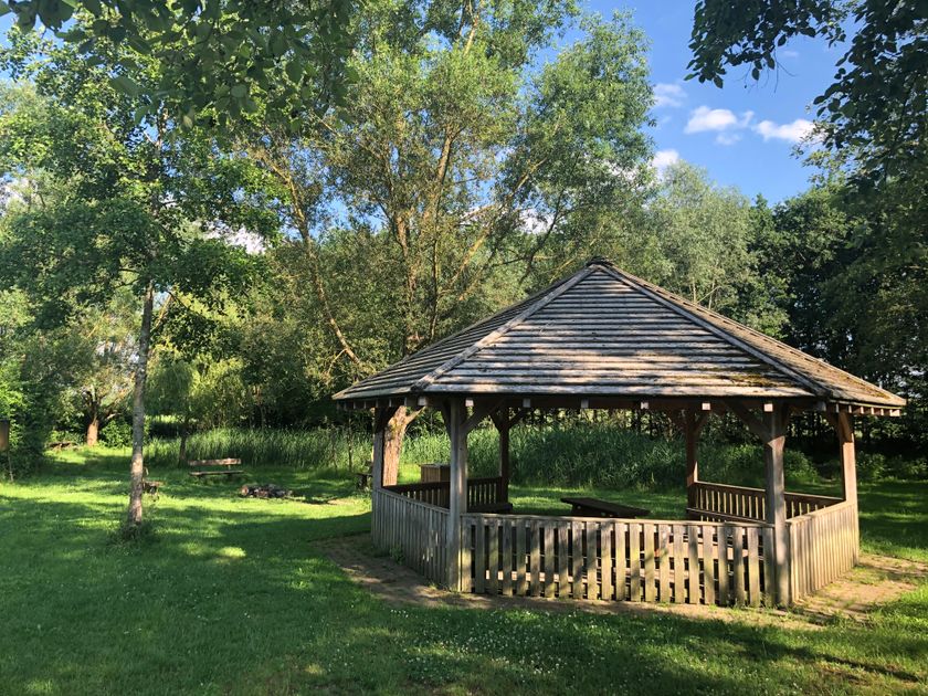
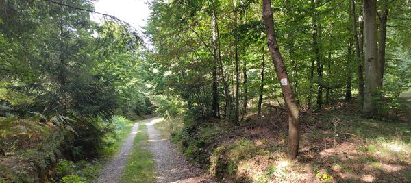
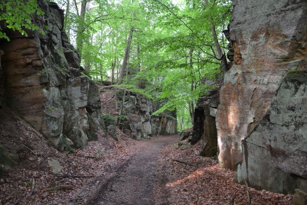
This route leads through wide fields with beautiful views over Heffingen. From the starting point at the school, it soon turns right across the fields to Huechemd, a small woodland to the right of the route, where benches with beautiful views invite you to rest. Further on, the route passes through dense forest on the slope of the Schwarze Ernz valley. Passing through the small village of Reuland, the route leads back towards Heffingen and passes the Geotop Héikräiz of the UNESCO Global Geopark Mullerthal, a stone cross, and a small chapel with a beautiful view.

Current conditions

Source: Visit Luxembourg, Published: 2026-03-19
H1 - Detour
Current Conditions: Dear hikers,

Due to construction work, part of the Lokal hiking trail is closed until 8th of May.

Please follow the marked detour.

Thank you for your understanding

Suggestions nearby

Local hiking route - H1

  • Picnic area Huechemd
    Picnic area Huechemd
    Find out more
  • Viewpoint "Héikräiz"
    Historic stone cross
    Find out more
  • ©Café A Bau
    Cafe A Bau
    Cosy café serving snacks, bowling alley next to it.
    Find out more

Similar hiking tours

©Visit Luxembourg
Circular routes
Local hiking route - L2
Distance: 8,54 km
Duration: 2:30 h
Difficulty: medium
Find out more
©Visit Luxembourg
Circular routes
Local hiking route - E8
Distance: 6,26 km
Duration: 1:40 h
Difficulty: medium
Find out more
©ORT MPSL , Visit Luxembourg
Circular routes
Local walking route - B1
Distance: 10,58 km
Duration: 3:05 h
Difficulty: medium
Find out more
©Visit Luxembourg
Circular routes
Local hiking route - L1
Distance: 2,25 km
Duration: 0:45 h
Difficulty: medium
Find out more
©L. Schömer, Visit Luxembourg
Circular routes
Auto-Pédestre hiking trail Bollendorf-Pont
Distance: 8,67 km
Duration: 2:40 h
Difficulty: medium
Find out more
©Visit Luxembourg
Circular routes
Local hiking trail - C6
Distance: 5,88 km
Duration: 1:40 h
Difficulty: medium
Find out more
©ORT MPSL, Visit Luxembourg
Circular routes
Local hiking trail - R8
Distance: 8,71 km
Duration: 2:30 h
Difficulty: medium
Find out more
©Visit Luxembourg
Mullerthal Trail - Leading Quality Trails - Best of Europe
Mullerthal Trail ExtraTour B
Distance: 12,98 km
Duration: 3:45 h
Difficulty: medium
Find out more
©Visit Luxembourg
Circular routes
Local hiking trail - C1
Distance: 1,94 km
Duration: 0:35 h
Difficulty: medium
Find out more
outdooractive This website uses technology and content from the Outdooractive Platform.