Description
Family-friendly hiking trail with a geological highlight: Luxembourg's largest mushroom!
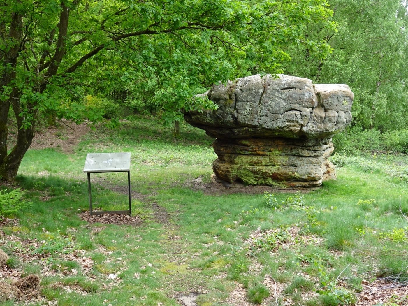
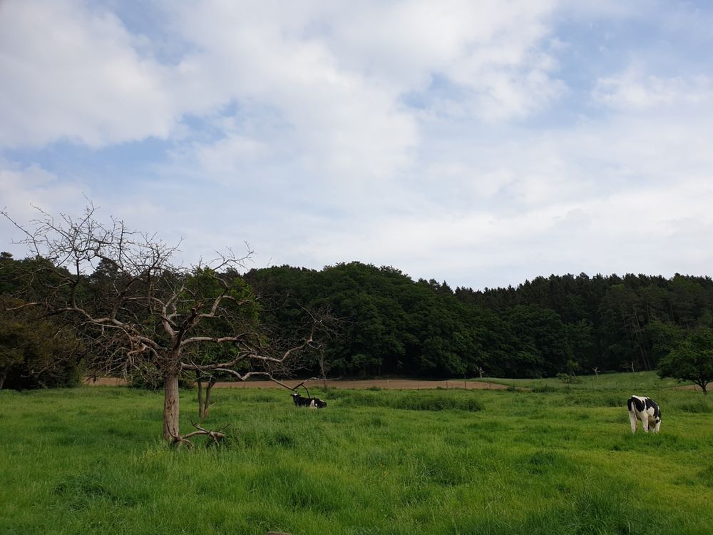
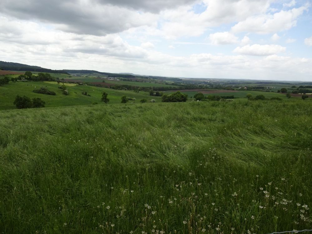
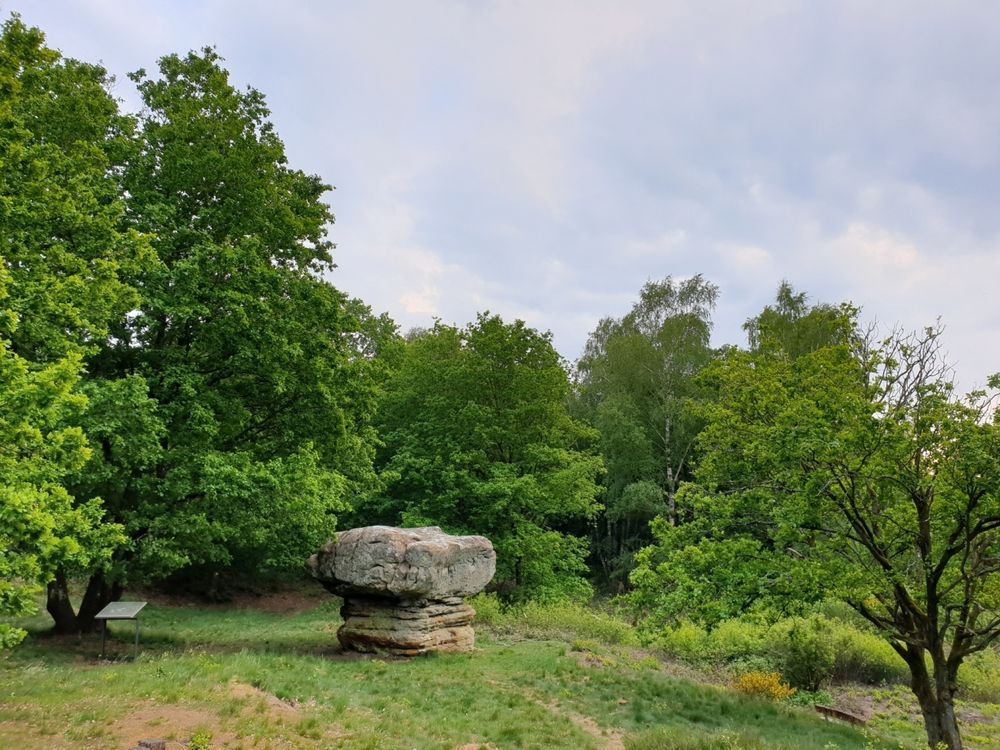
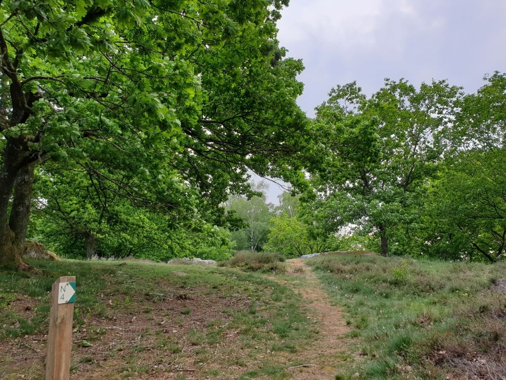
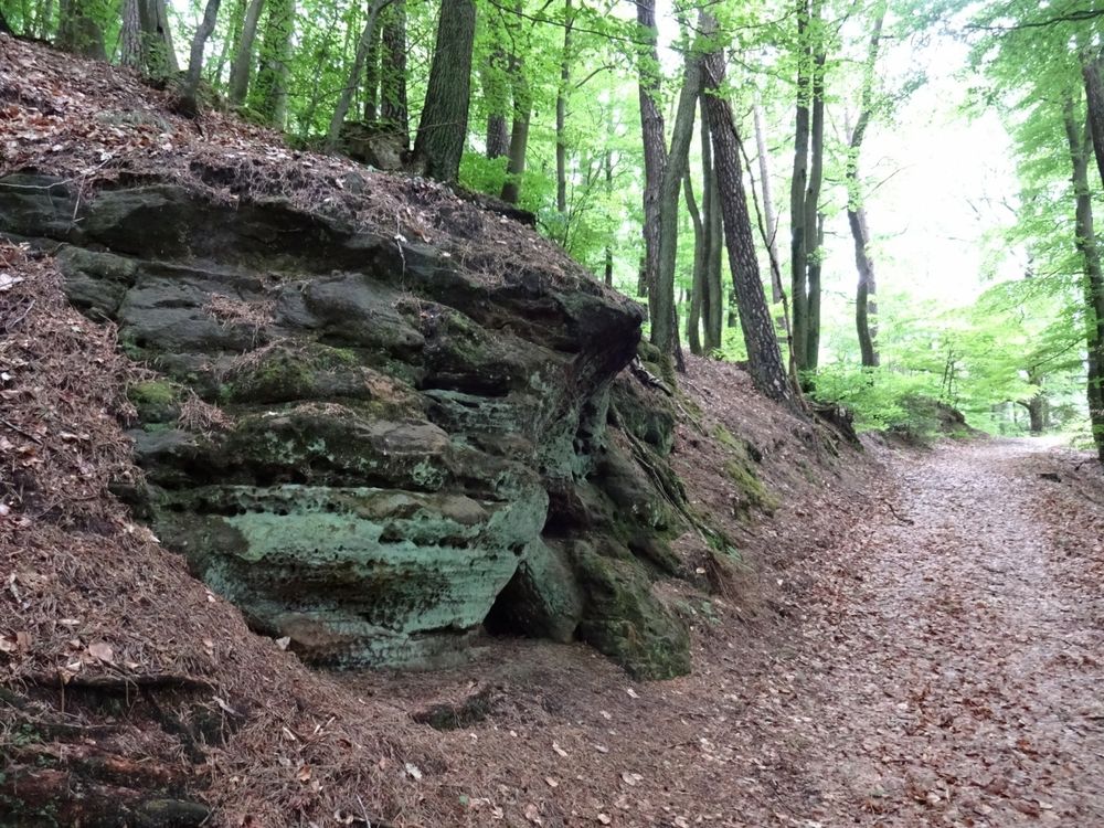
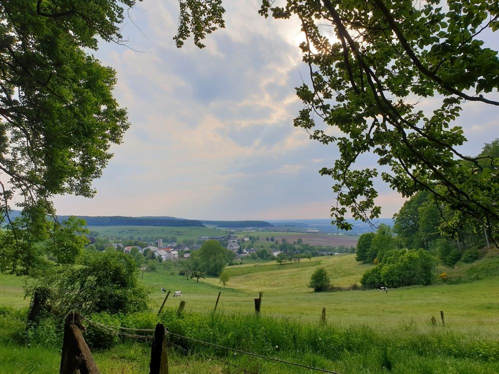
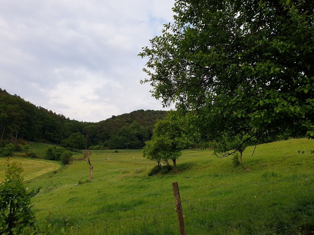
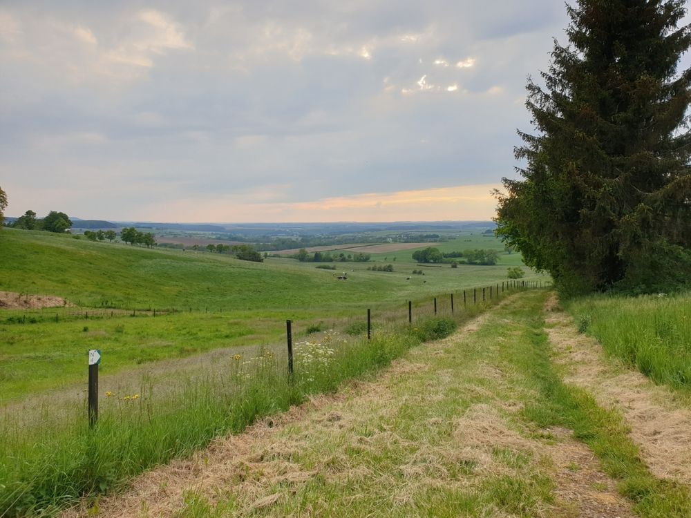
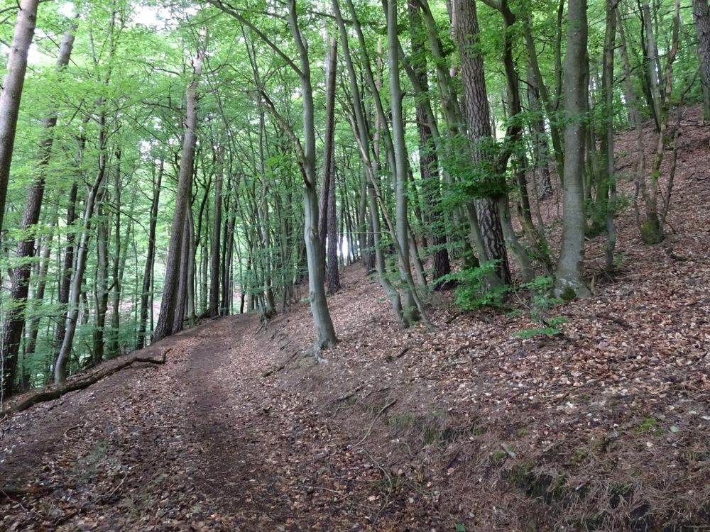
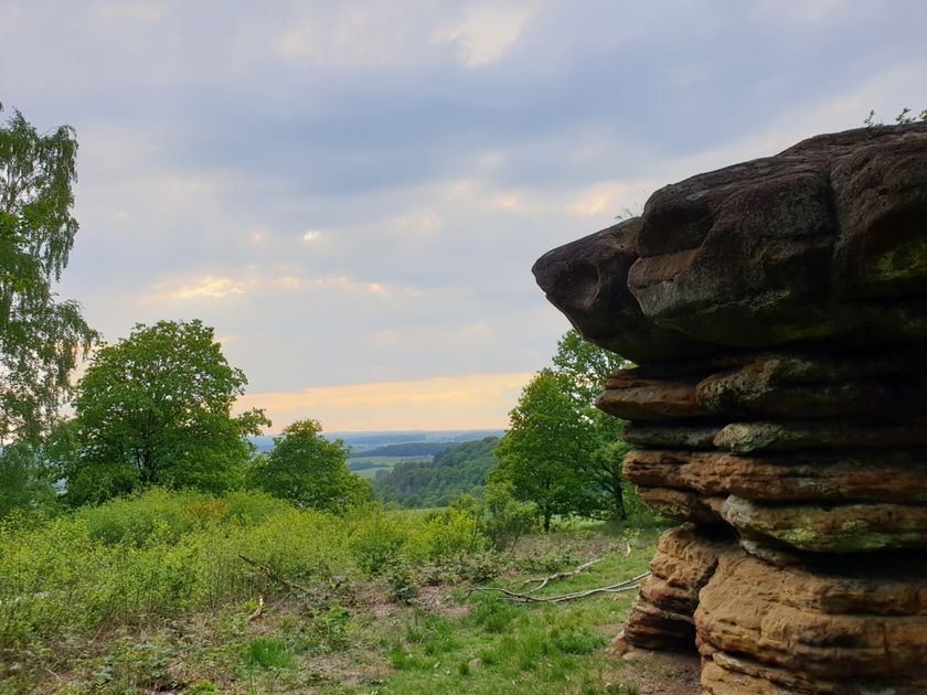
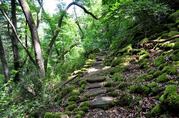
On this short hiking trail, you reach one of the geological highlights of the region: the rock formation called Champignon. It is a free-standing rock block shaped like a mushroom. This shape was naturally created by weathering processes. The trail initially leads through the forest with slight ascents and descents. The final section goes over open land back to the starting point.
The route is not stroller-friendly, as there are some stairs going down in the first half.
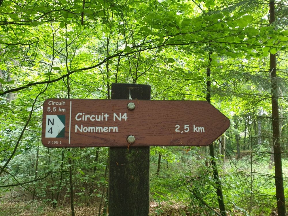
Signposting

Directions
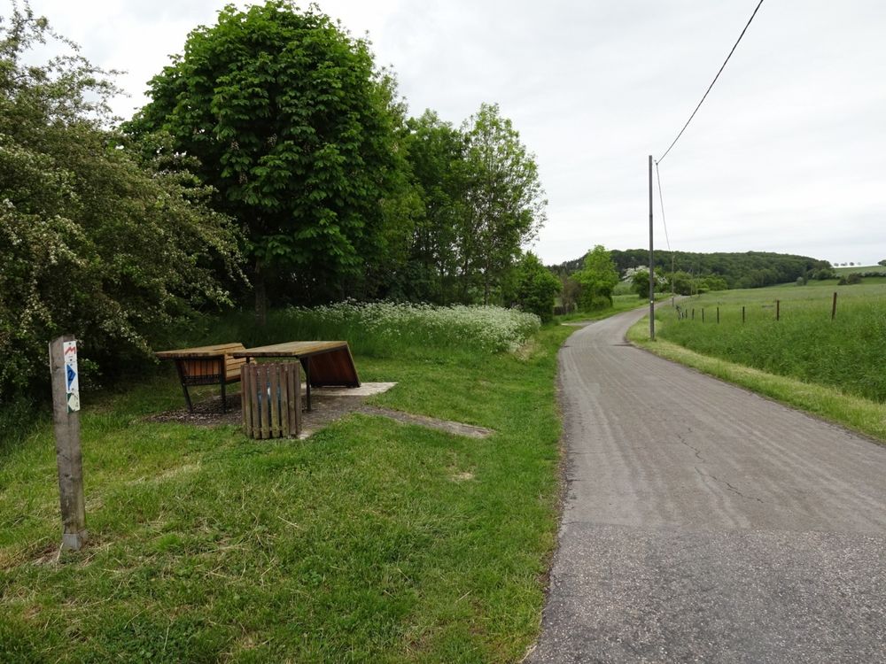
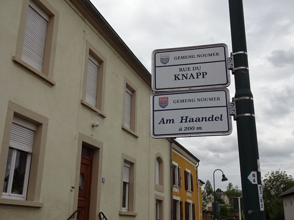
From the starting point, immediately cross opposite into Rue du Knapp. After 200 m, turn left into Am Haandel street, where a 1.6 km ascent through a beautiful mixed forest awaits, followed by hiking downhill again along a narrow forest path. On this section, there are some stairs. Upon reaching the main road, turn left. There you enter a nice environment with a prehistoric rock known as Champignon, located near Aechelbour. It is the emblem of the municipality of Nommern. From this point, the trail leads back to the starting point via field paths.
Equipment
Sturdy footwear and something to drink.
Journey
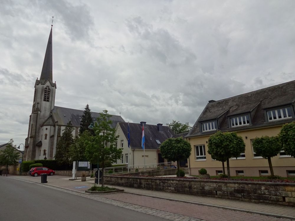
Nearest bus stop: Nommern, Kiirch (50 m)
Parking:
Nearest parking lot: Eglise/Mairie (50 m)


 This website uses technology and content from the Outdooractive Platform.