Hunting Season 2025/26 — Check for hunts

Autumn is here, and that means hunting season has begun! From mid-October to January/February, hunters are active across the country. Stay safe by checking hunt dates in your area on our Map. 

Click on Map in the Header > Services > More > Hunting.

Starting point

Mélick

Destination

Mélick

Distance
3,68 km
Difficulty
easy
  • Condition
Highest point
338 Hm
Lowest point
307 Hm
Aggregated Ascent
37 Hm
Aggregated Descent
36 Hm
Thematic paths

Description

Accessible to all
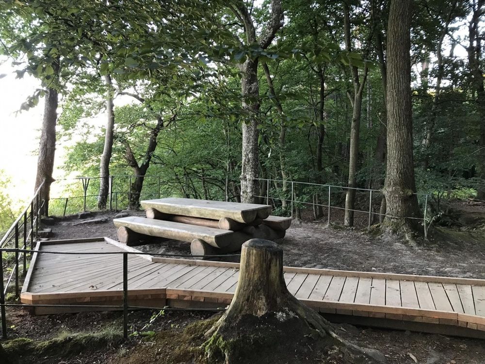
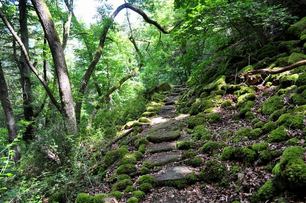
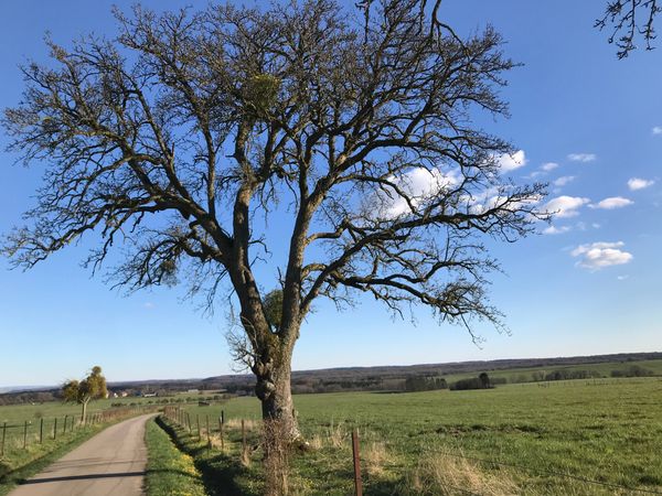
Trail on a flat pathway through the forest with a nice picnic spot.

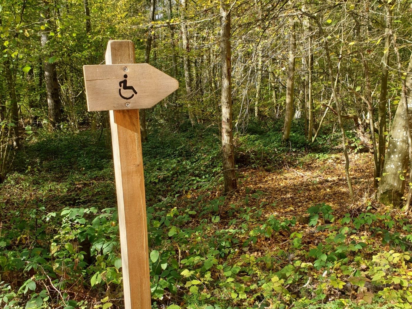
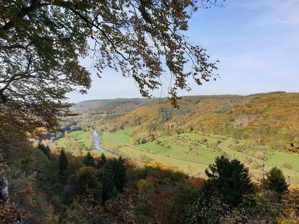
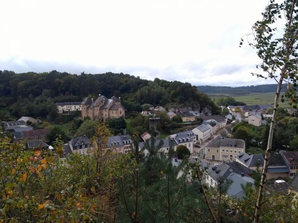
The communal forest of Echternach is called “Ierelchen” and is situated Op Mélick. There is a forest path accessible to all without a major incline. From the trail it is about 50 m to the Paulsplatte, which is marked by a wheelchair pictogram. A ramp accessible to all leads to a lookout point of view on the Sûre valley.
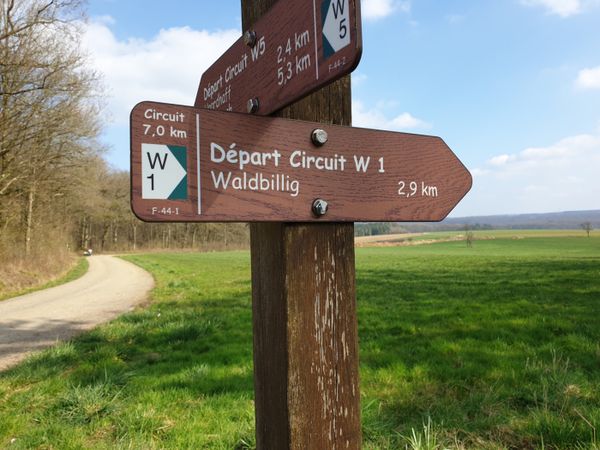
Suggestions nearby

Ierelchen Echternach - Hiking trail - Accessible to almost all

  • ©Restaurant Lakeside
    Restaurant Lakeside
    Restaurant Lakeside
    Find out more
  • P&R Echternach Millenoacht oam Séi
    P&R parking lot close to the lake of Echternach.
    Find out more

Similar hiking tours

©Visit Luxembourg
Circular routes
Local hiking trail - F3
Distance: 2,69 km
Duration: 0:50 h
Difficulty: easy
Find out more
©(c) NGPM Elisabeth Medinger, (c) NGPM Elisabeth Medinger
Thematic paths
Geo-Pad Hëlt
Distance: 4,23 km
Duration: 1:30 h
Difficulty: easy
Find out more
©Visit Luxembourg
Thematic paths
Honeybee educational trail between Waldbillig and Christnach
Distance: 4,00 km
Duration: 1:30 h
Difficulty: easy
Find out more
©Jeniska photography, Visit Luxembourg
Echternach Lake comfort hiking trail
Distance: 3,25 km
Duration: 1:15 h
Difficulty: easy
Find out more
©Visit Luxembourg
Circular routes
Local hiking trail - F1
Distance: 5,26 km
Duration: 1:35 h
Difficulty: easy
Find out more
©Visit Luxembourg
Thematic paths
Well-Being Trail - Nommern
Distance: 4,35 km
Duration: 1:22 h
Difficulty: easy
Find out more
©Visit Luxembourg
Circular routes
Local hiking route - B14
Distance: 5,31 km
Duration: 1:25 h
Difficulty: easy
Find out more
©Visit Luxembourg
Circular routes
Local hiking trail - E9
Distance: 6,32 km
Duration: 1:43 h
Difficulty: easy
Find out more
©Visit Luxembourg
Circular routes
Local hiking trail - J5
Distance: 6,54 km
Duration: 1:44 h
Difficulty: easy
Find out more
outdooractive This website uses technology and content from the Outdooractive Platform.