© Visit Luxembourg
Müllerthal Germany France

Local hiking trail - F3

Starting point

Schoos, Hannert de Gaarden

Destination

Schoos, Hannert de Gaarden

Distance
2,69 km
Difficulty
easy
  • Condition
Highest point
399 Hm
Lowest point
339 Hm
Aggregated Ascent
60 Hm
Aggregated Descent
63 Hm
Circular routes Visit Luxembourg

Description

Kids & Family Scenic Dog-friendly

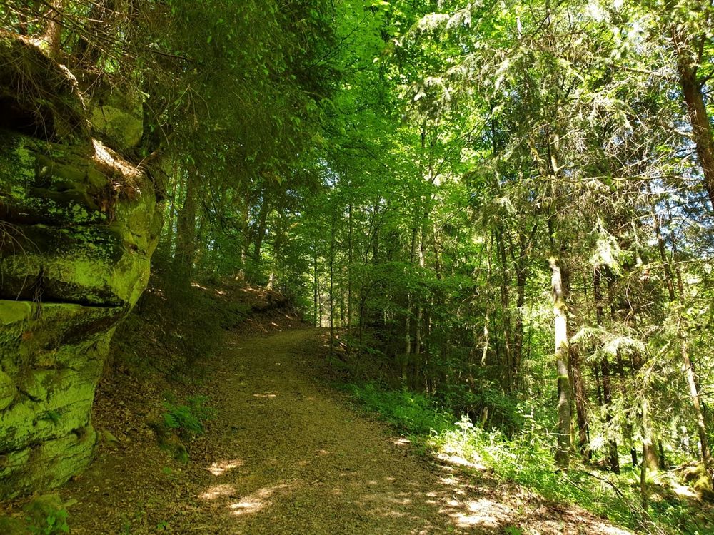
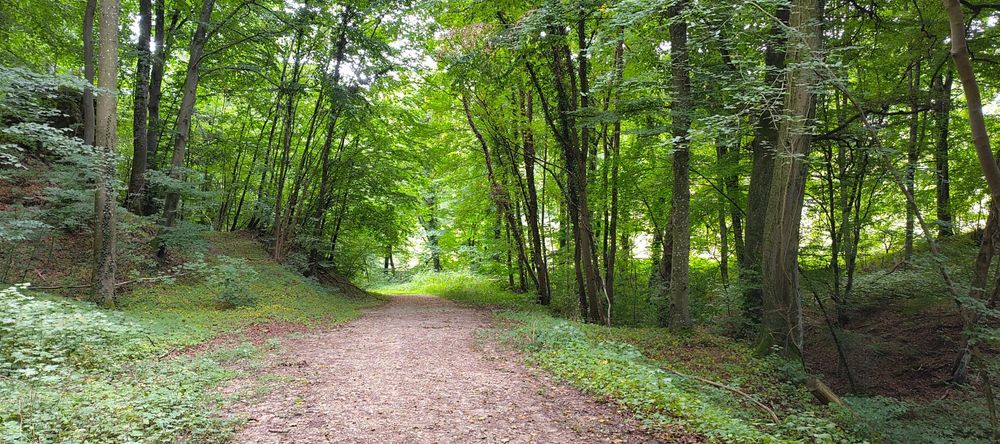
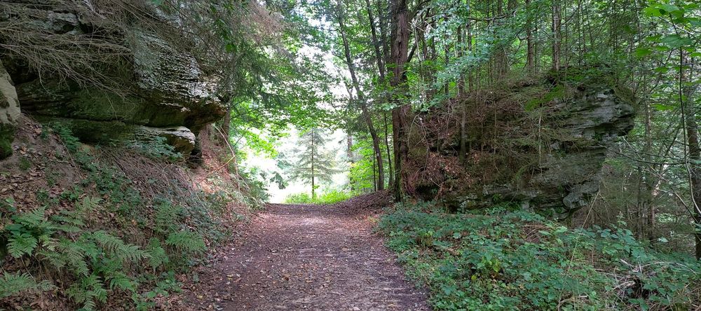
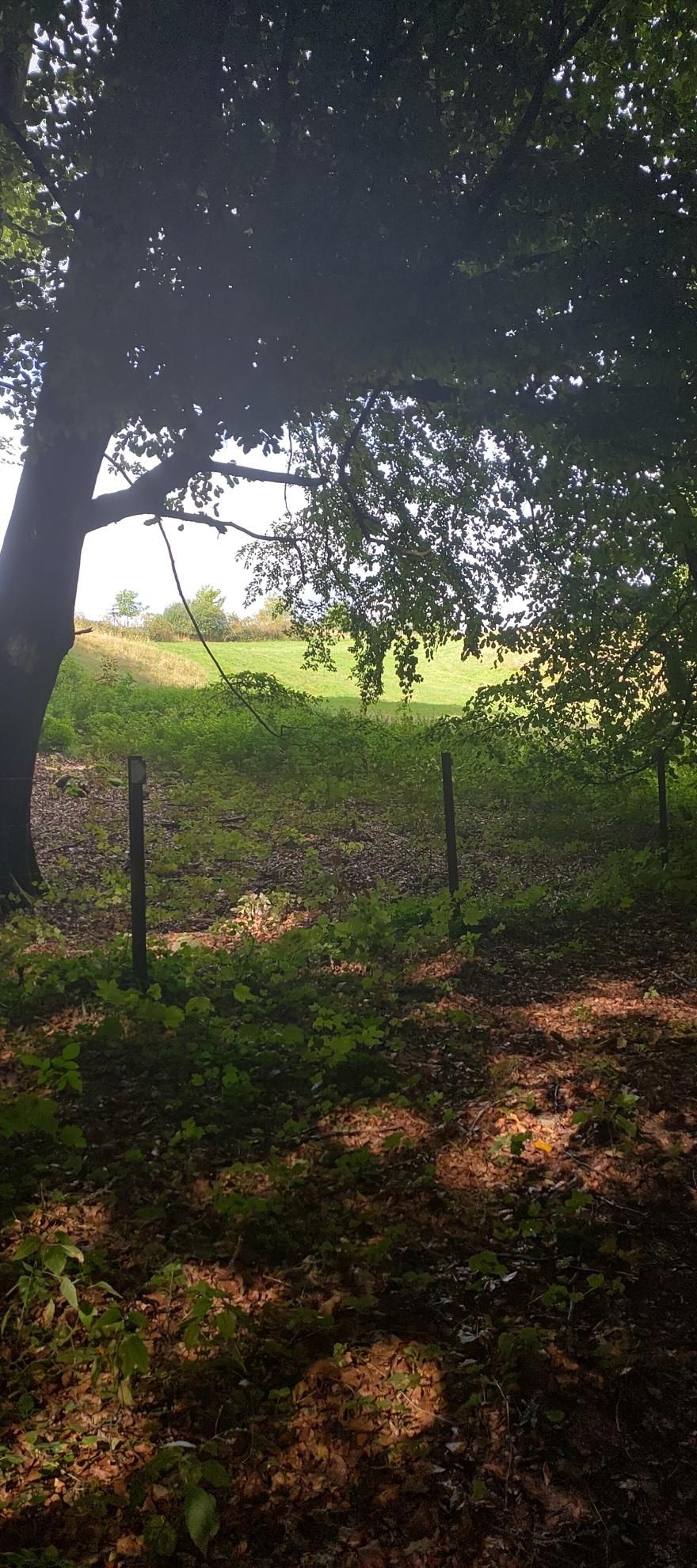
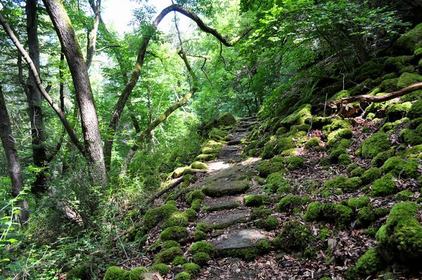
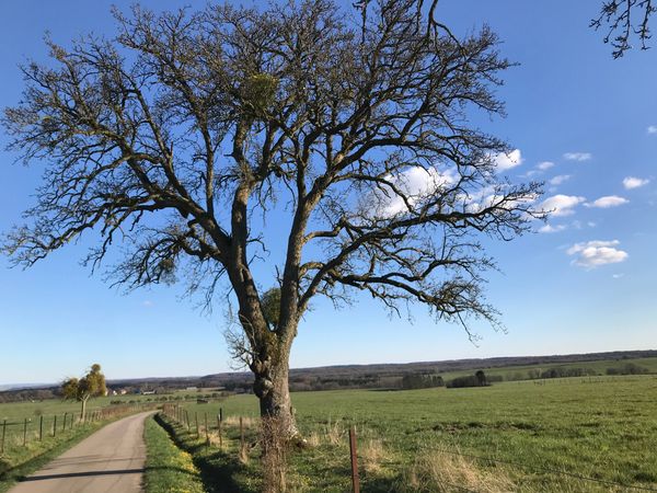
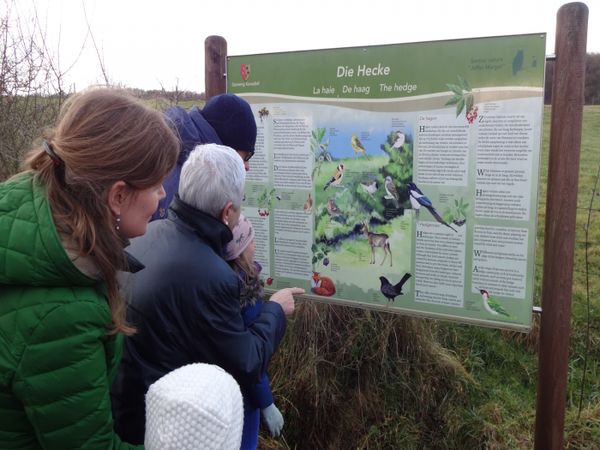
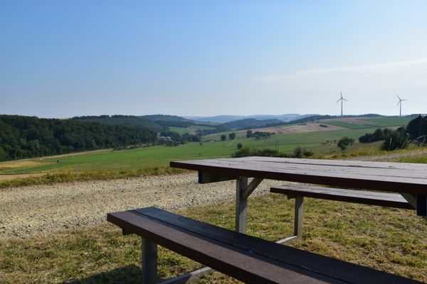
This short hike leads through the forest and across open meadows.
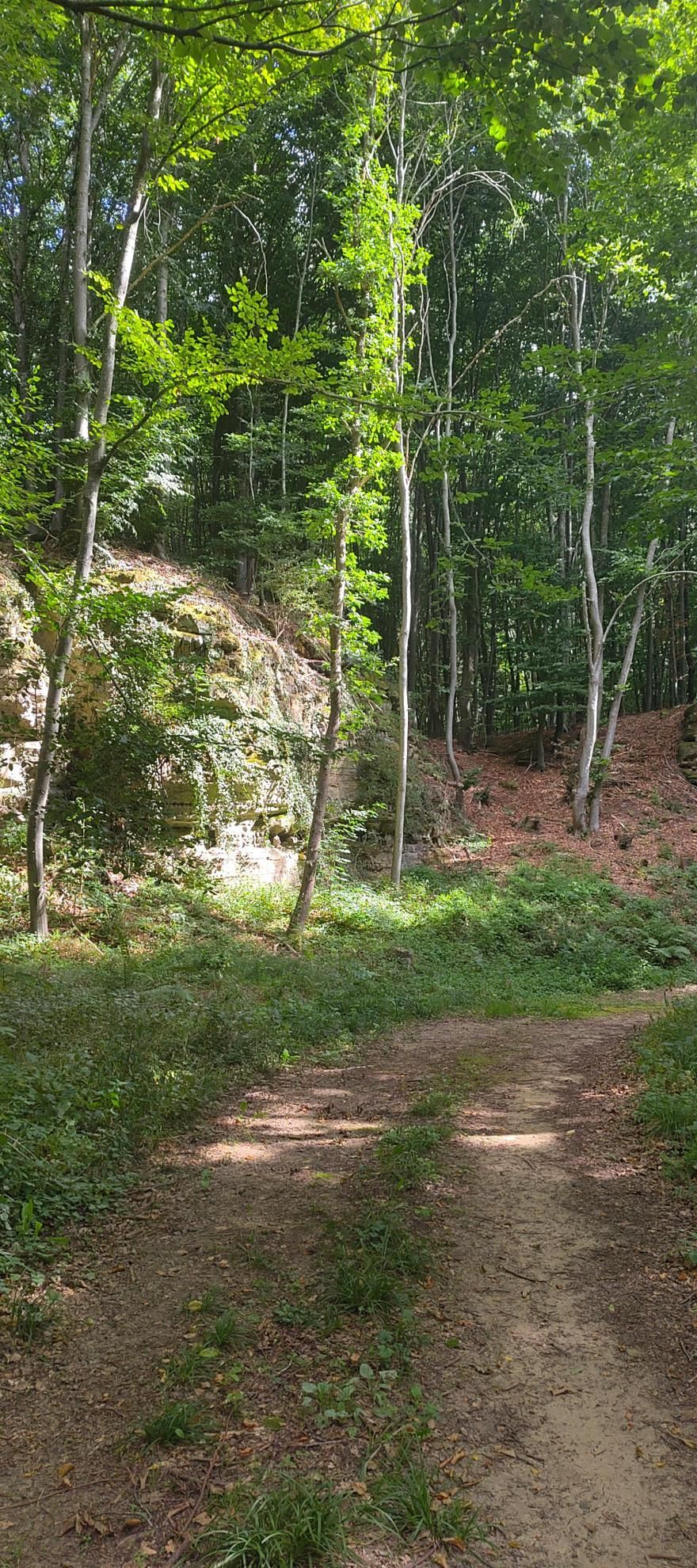
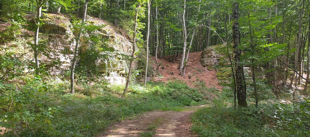
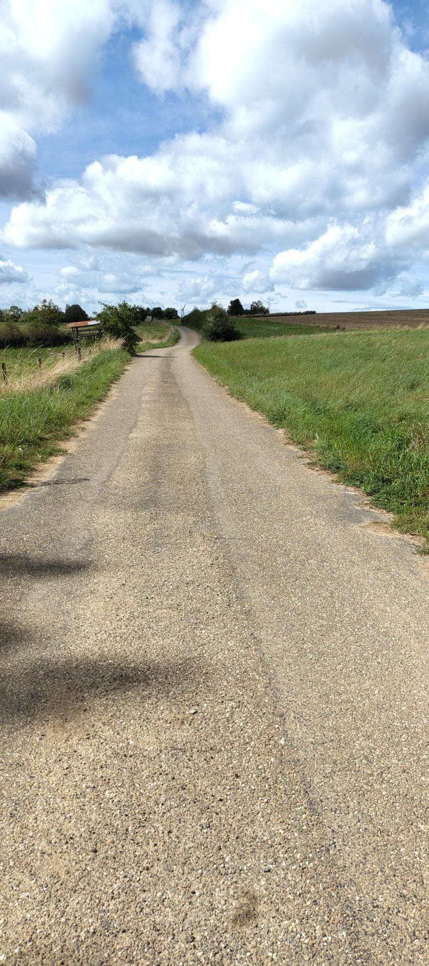
This hike first leads down through the forest into the valley towards Fischbach. The descent follows a wide path lined with rocks. At the bottom, the trail climbs back up gently and windingly. It then returns via a paved path across the ridge to the starting point.


Suggestions nearby

Local hiking trail - F3

  • Parking - Fischbach Village
    Parking - Fischbach Village
    Find out more
  • Parking - Fischbach Church
    Parking - Fischbach Church
    Find out more

Similar hiking tours

© Visit Luxembourg
Thematic paths
Bee Trail between Waldbillig and Christnach
Distance: 4,00 km
Duration: 1:30 h
Difficulty: easy
Find out more
© Jeniska photography, Visit Luxembourg
Comfort hiking trail Echternach Lake
Distance: 3,25 km
Duration: 1:15 h
Difficulty: easy
Find out more
© Visit Luxembourg
Circular routes
Local hiking trail - F1
Distance: 5,26 km
Duration: 1:35 h
Difficulty: easy
Find out more
© Visit Luxembourg
Thematic paths
Well-Being Trail - Nommern
Distance: 4,35 km
Duration: 1:22 h
Difficulty: easy
Find out more
© Visit Luxembourg
Circular routes
Local hiking trail - B14
Distance: 5,31 km
Duration: 1:25 h
Difficulty: easy
Find out more
© Visit Luxembourg
Circular routes
Local hiking trail - J5
Distance: 6,54 km
Duration: 1:44 h
Difficulty: easy
Find out more
© Unknown
Circular routes
Local hiking trail - E5
Distance: 6,33 km
Duration: 1:40 h
Difficulty: easy
Find out more
© L. Schömer, Visit Luxembourg
Circular routes
Local hiking trail - J16
Distance: 5,60 km
Duration: 1:25 h
Difficulty: easy
Find out more
© Visit Luxembourg
Circular routes
Local hiking trail - B3
Distance: 3,77 km
Duration: 1:02 h
Difficulty: easy
Find out more