Description
Discover the secret of the Al Schmelz geotope on this short hiking trail
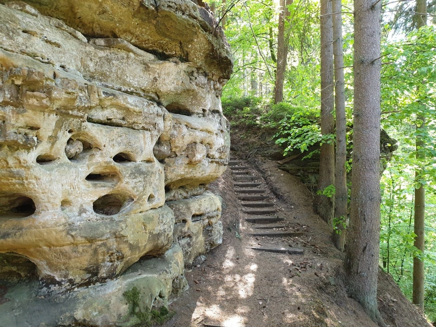
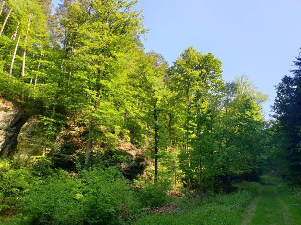
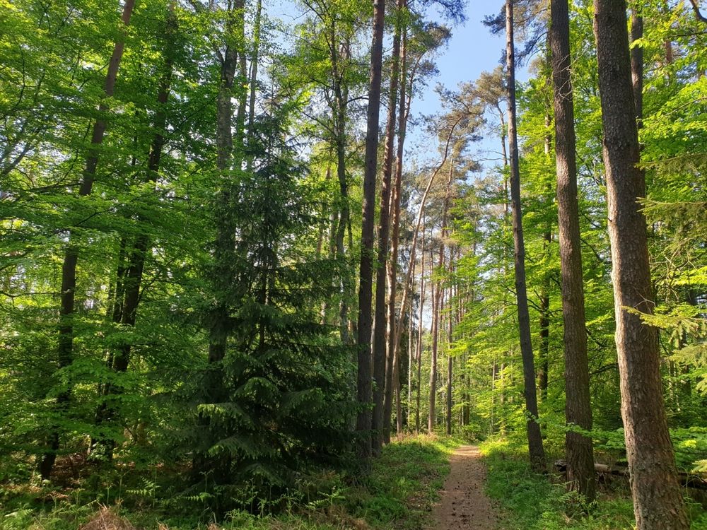
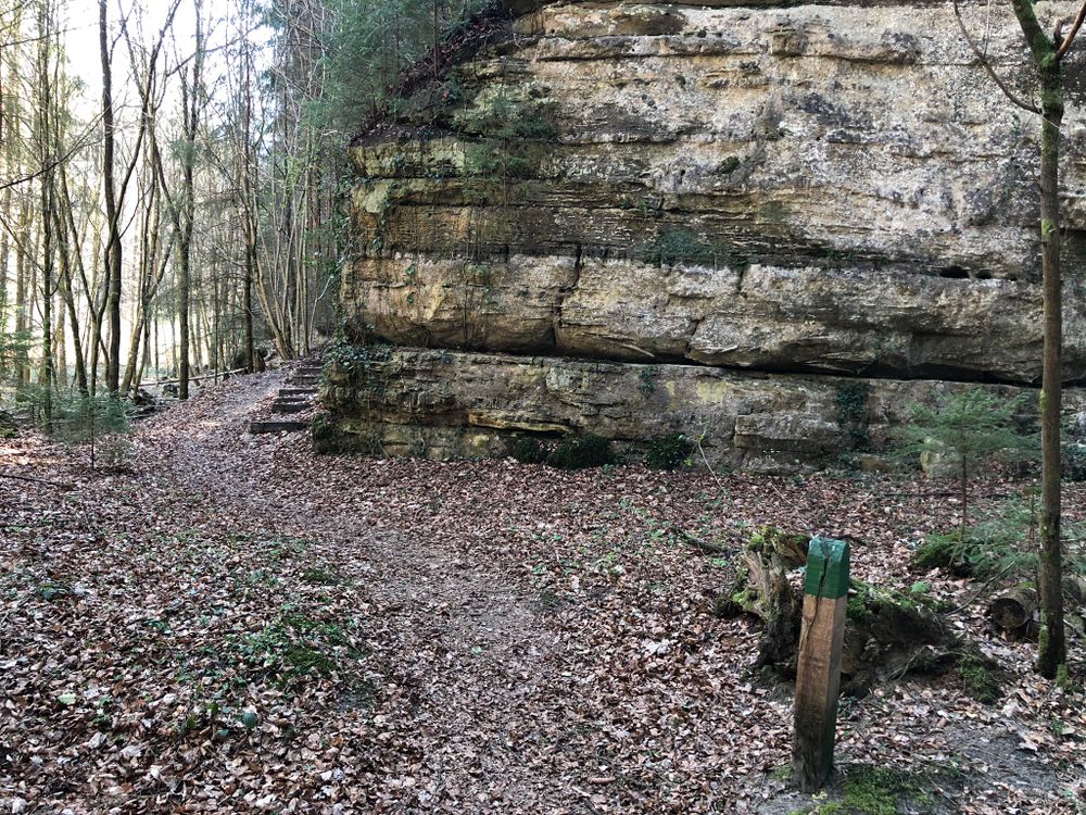
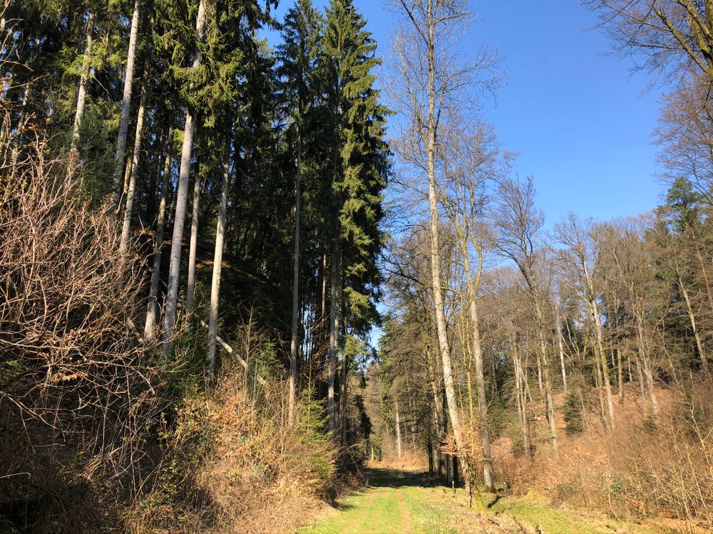
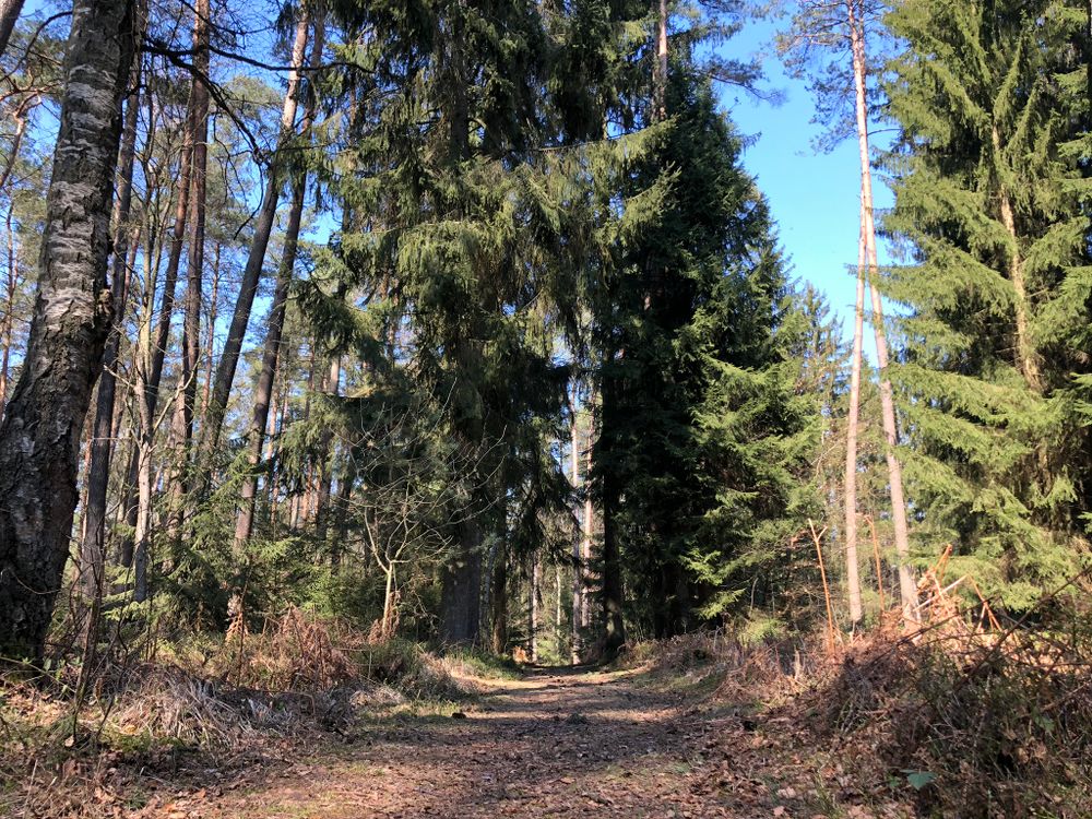
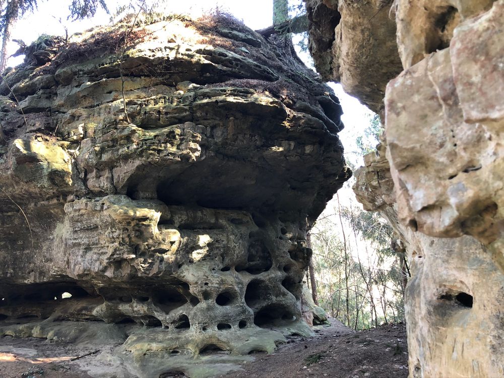
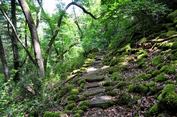
The path leads gently up the mountain between rocks to the highest point of the region. Once at the top, it runs for a while over a wooded hill before descending to the Napoleonshutt, a distinctive solitary rock formation that resembles a head covering.
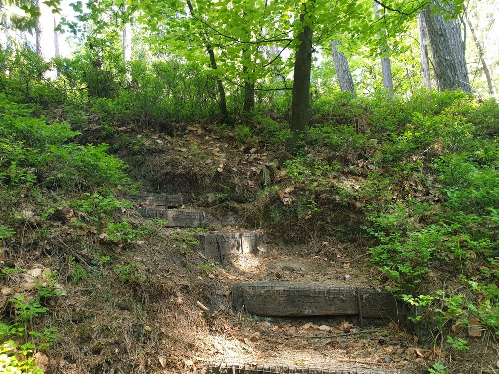
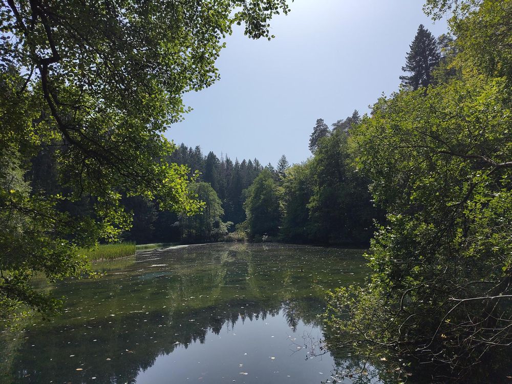
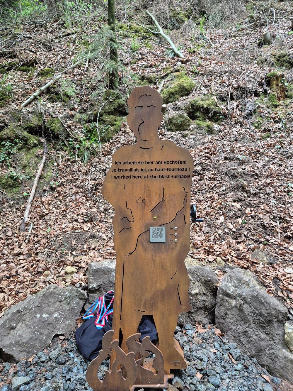
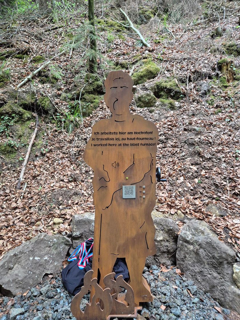
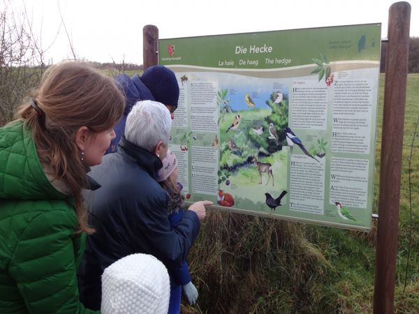
From there, it continues down stairs to the Al Schmelz, a geotope. The small pond is a last visible relic from the time of the old ironworks. Via a QR code and an interactive station, you gain exciting insights into the history of the place.
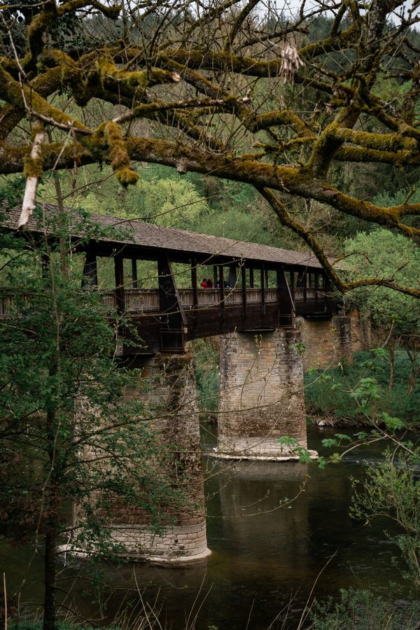
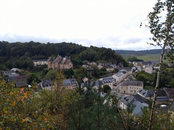
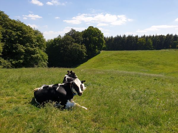
The path then continues along the Wasserhof and finally opens up a magnificent view of Fischbach. There, comfortable benches invite you to enjoy the sun and let your gaze wander over the landscape.
Equipment
Sturdy footwear
Journey
Nearest bus stop:
Fischbach (Mersch), Beim Schlass
Getting there:
From Echternach via E29, N14, CR128, CR119, CR125.
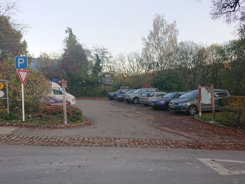
Parking:
A parking lot is located in the village center (500m).


 This website uses technology and content from the Outdooractive Platform.