Description
On narrow paths tracing the footsteps of millions of years: The Geo-Pad Hëlt invites you to explore and marvel.
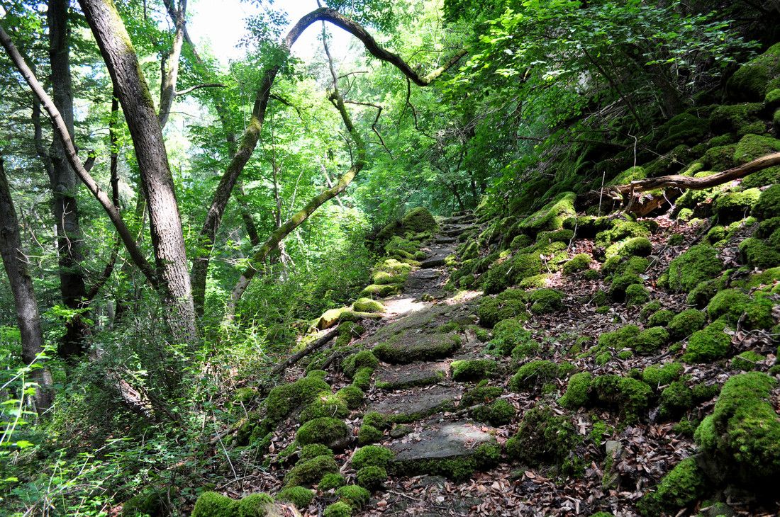
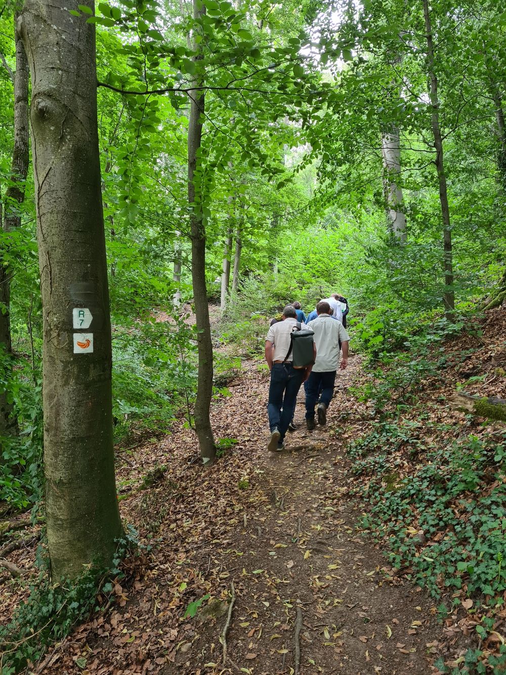
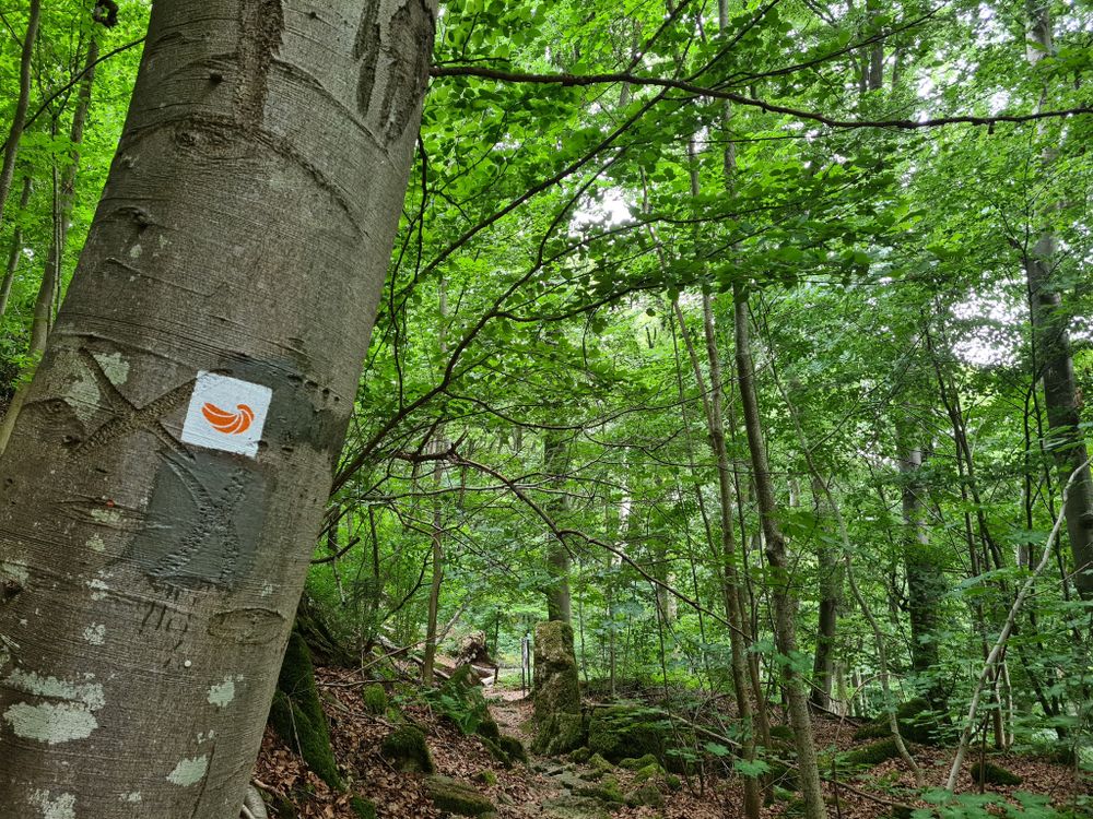
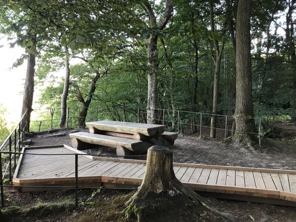
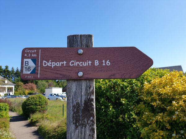
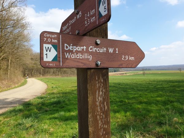
The Geo-pad runs over the Hëlt, the hill within the Sauer loop in Rosport. The path is marked with a fossil oyster (devil's claw) that reminds you that the exposed rocks were formed long ago in a sea, and offers a lot of interesting information on 11 information boards along the way.
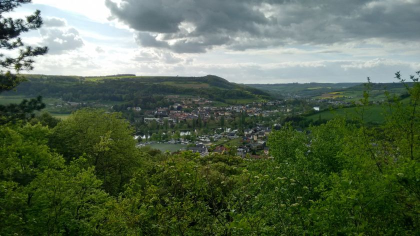
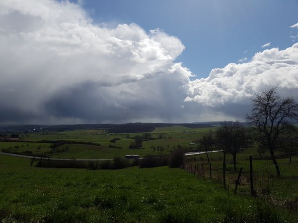
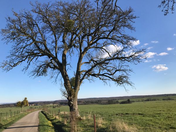
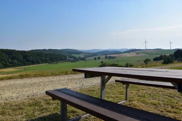
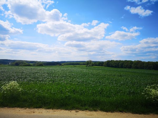
The varied and partly challenging hike starts at the Rue du Barrage parking lot in Rosport and leads into a forest with spectacular dolomite rock formations. The Hëlt is very diverse: the wild northern slope, shaped by a large marl landslide, is wooded and remains cool even in summer. This section offers very beautiful views of the Sauer valley.
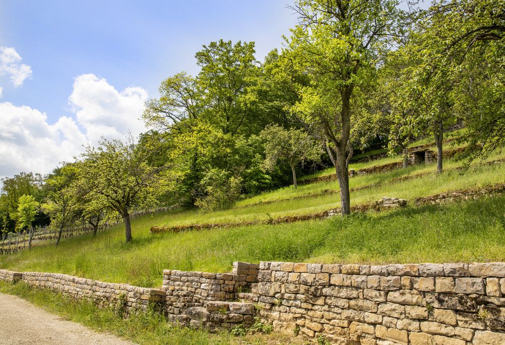
On the almost Mediterranean southern slope, you will find the only vineyard area of the region. Here, lizards bask on the dry stone walls, and numerous rare orchid species and other protected plants grow on the dry grasslands. A canal used for generating energy shortens the Sauer loop and makes the Hëlt an island.
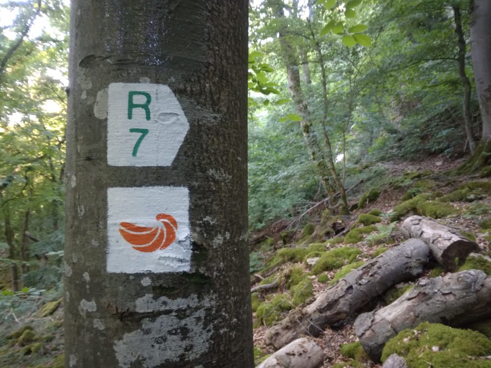
Hike: R7 (3.5 km), Geo-Pad Hëlt (4.1 km)
Nearest bus stop: Rosport Rue Neuve (500 m)
GPX
geo-pad-helt gpxFor your safety
The terrain of the route is varied, partly challenging, and not barrier-free.
Equipment
Sturdy footwear is recommended, especially in wet weather.
Journey
Nearest bus stop: Rosport, Rue Neuve (300m)
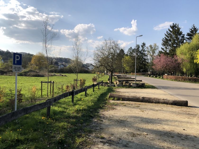
Parking:
Parking Sauerpark (free of charge)


 This website uses technology and content from the Outdooractive Platform.