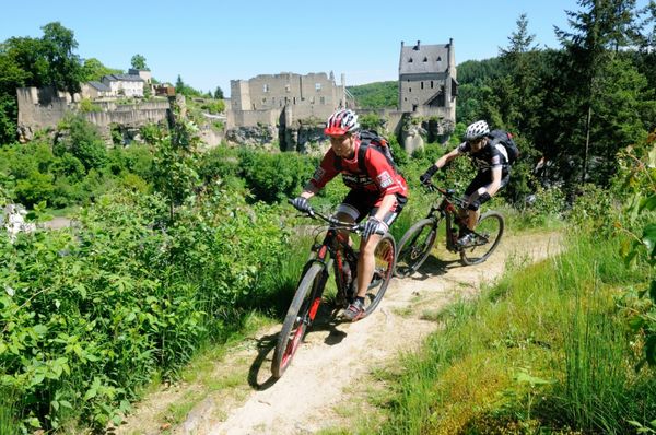
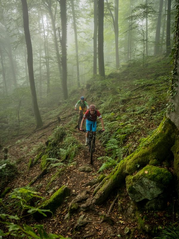
Description
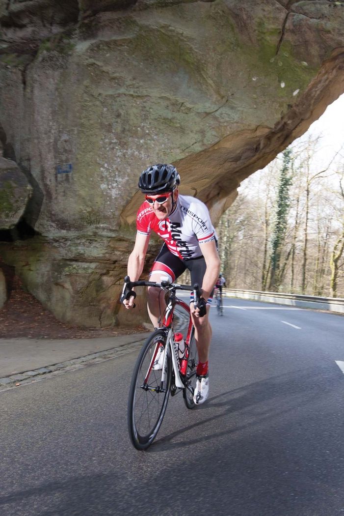
The name says it all: a challenging route to numerous highlights of the Müllerthal region for well-trained cyclists.
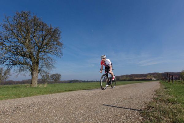
The name of the route starting in Echternach comes from the numerous uphill and downhill sections that make the route extremely difficult but also interesting. Over 100 km, nearly 2,000 meters of altitude must be overcome, which corresponds to almost 200 meters of ascent every 10 km on average. The intense and compact climbs also make this route extremely demanding. In total, eight more or less difficult climbs must be mastered. The steepest climb with a temporary 16% gradient is at kilometer 73 and leads from the Sauertal in Born up to Boursdorf. This route is definitely recommended only for very fit cyclists.
For your safety
The route runs mostly on public roads. Please comply with the traffic regulations.
Journey
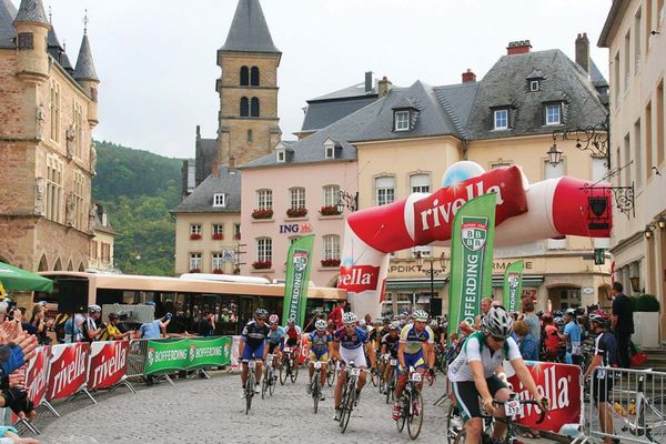
By bus to Echternach.
Parking:
Free parking at the parking lot in "Rue Bénédictins" in Echternach and at Echternacher See. Parking in downtown Echternach is mostly limited to two hours.


 This website uses technology and content from the Outdooractive Platform.