©Pancake! Photographie, Visit Luxembourg
Müllerthal Germany France

Geo-Pad Haupeschbach and Halerbach

Hunting Season 2025/26 — Check for hunts

Autumn is here, and that means hunting season has begun! From mid-October to January/February, hunters are active across the country. Stay safe by checking hunt dates in your area on our Map. 

Click on Map in the Header > Services > More > Hunting.

Starting point

Beaufort: Parking Härewiss

Destination

Beaufort: Parking Härewiss

Distance
4,94 km
Duration
2:00 h
Difficulty
medium
  • Condition
Highest point
352 Hm
Lowest point
238 Hm
Aggregated Ascent
114 Hm
Aggregated Descent
114 Hm
Thematic paths Visit Luxembourg

Description

Refreshment stops available

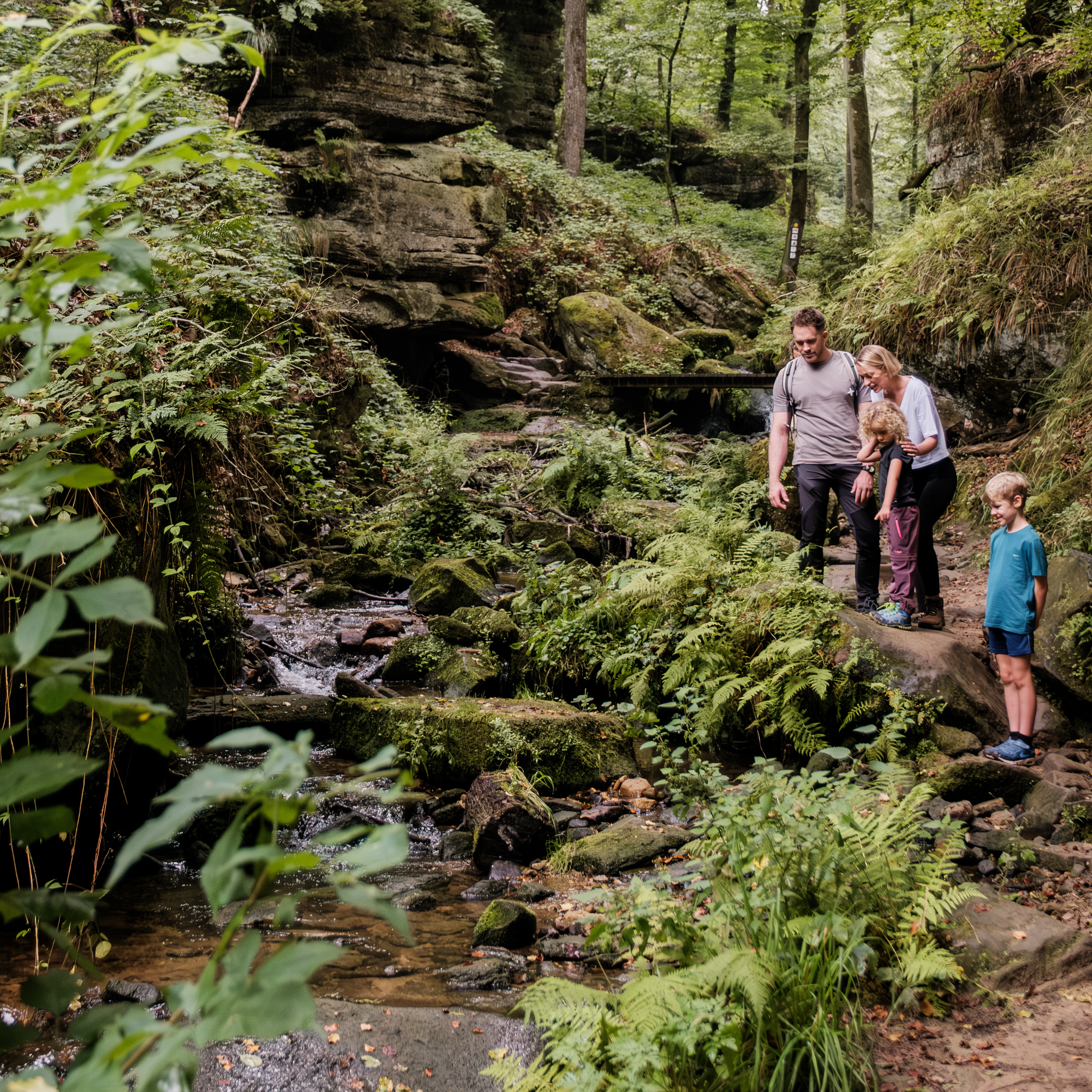
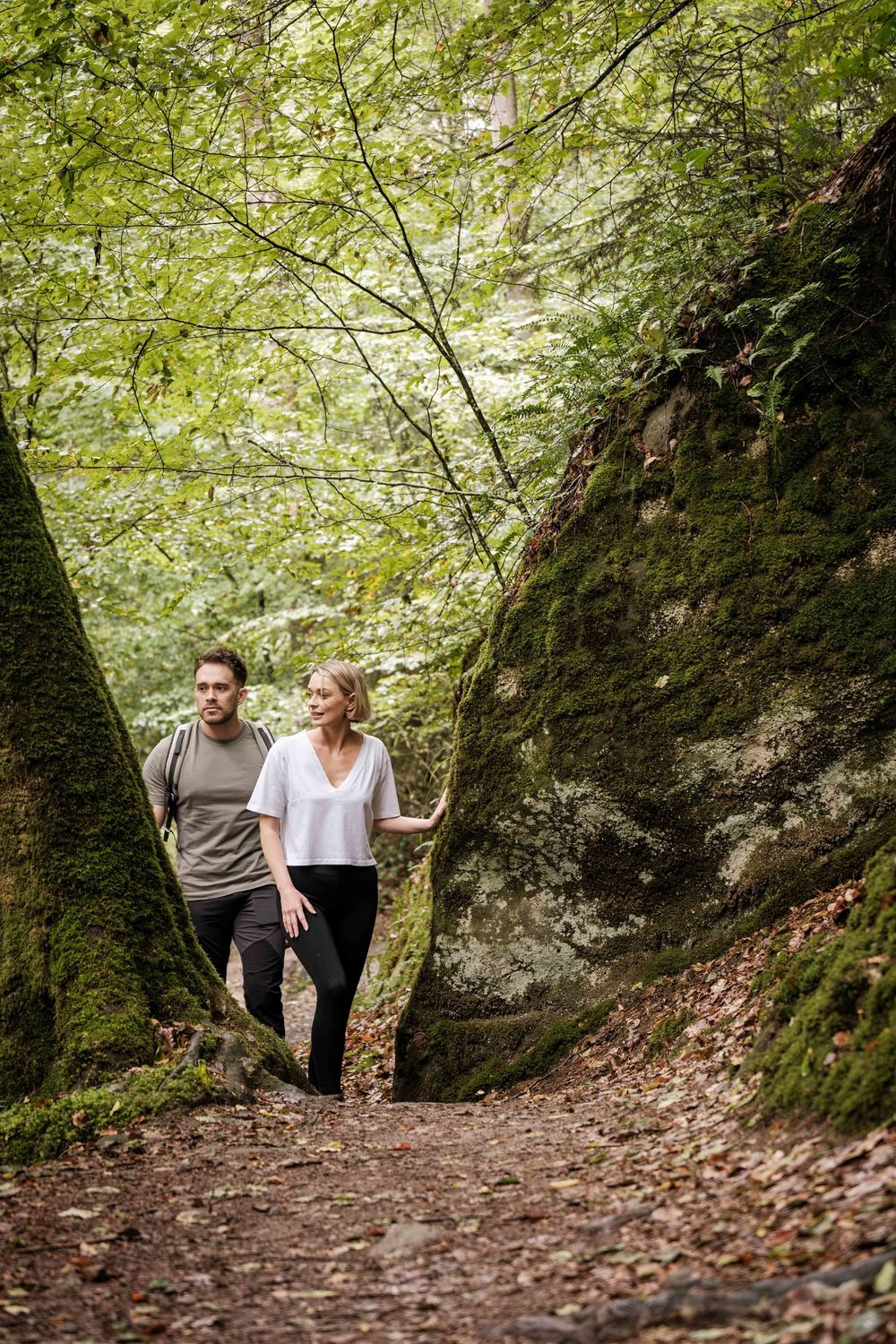
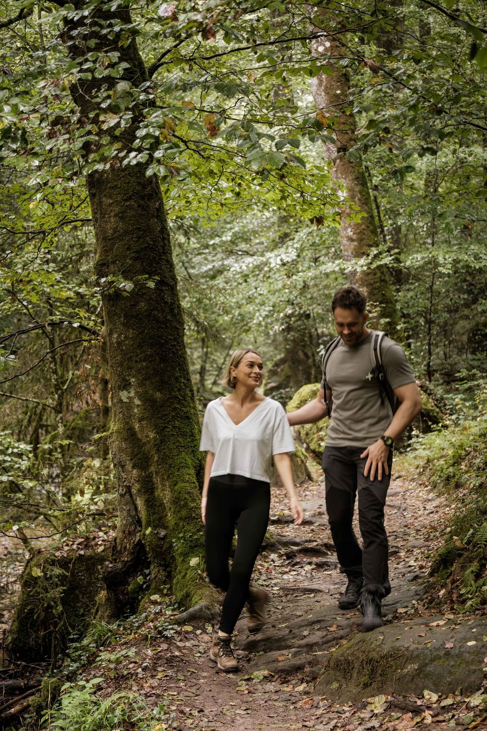
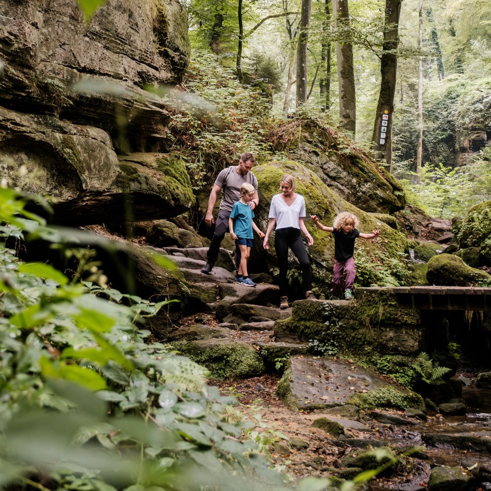
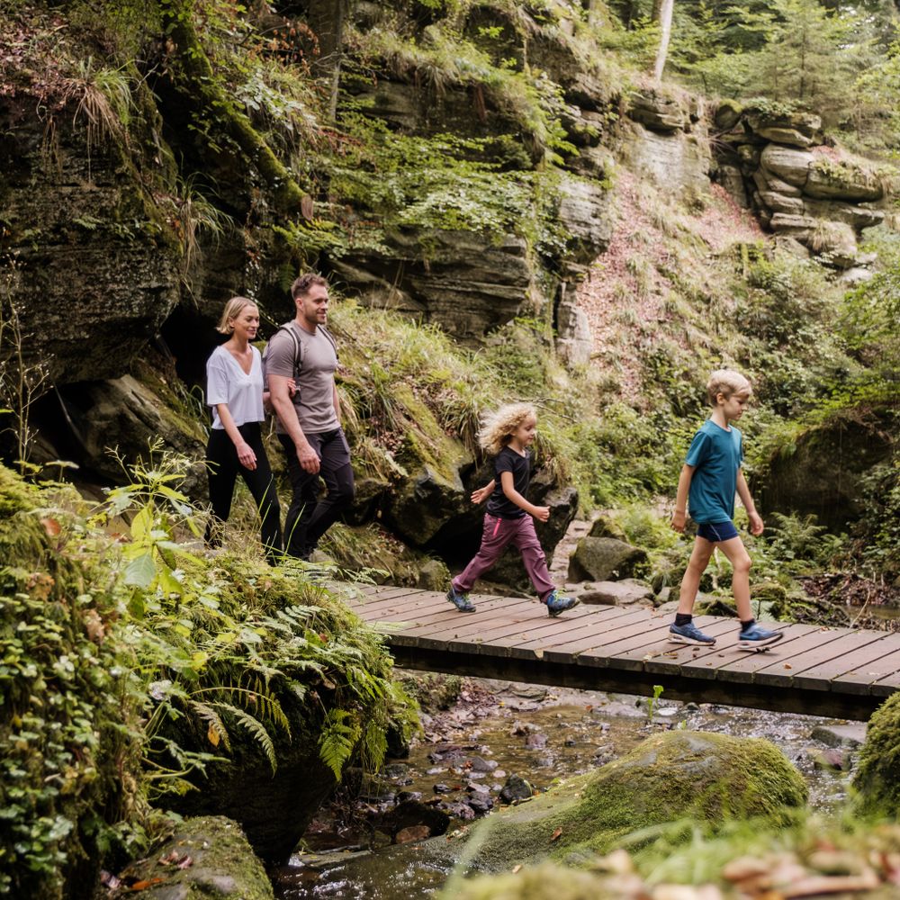
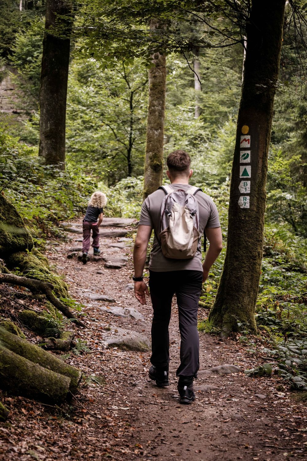
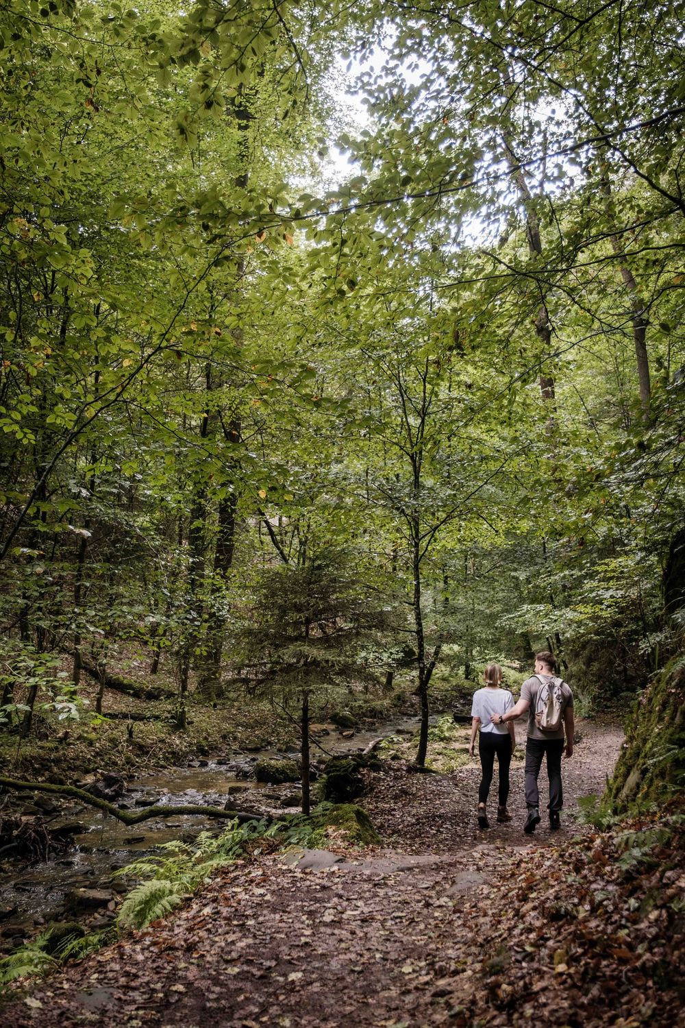
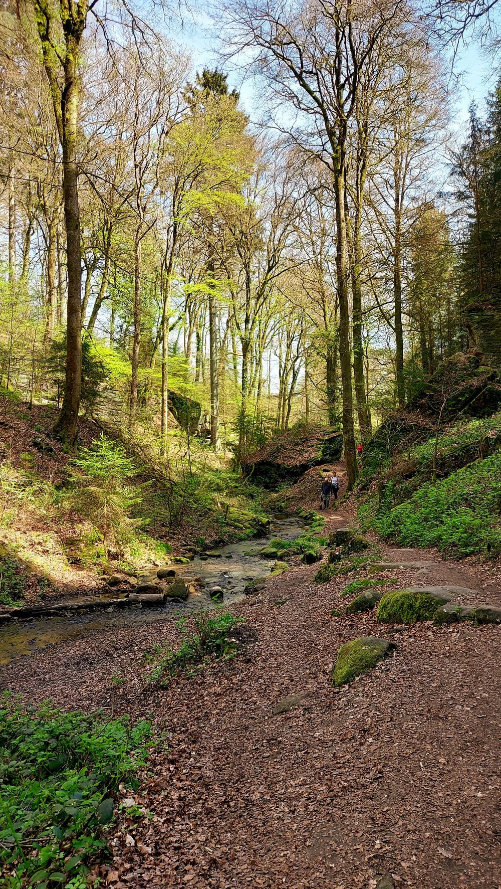
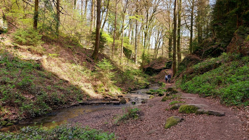
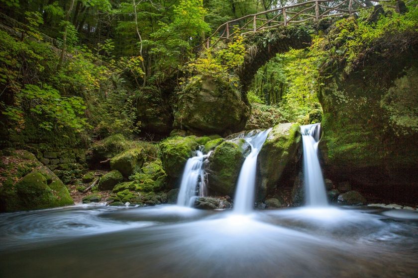
The educational path extends over a distance of approximately five kilometers and leads through the picturesque valleys of the Haupeschbach and Halerbach.

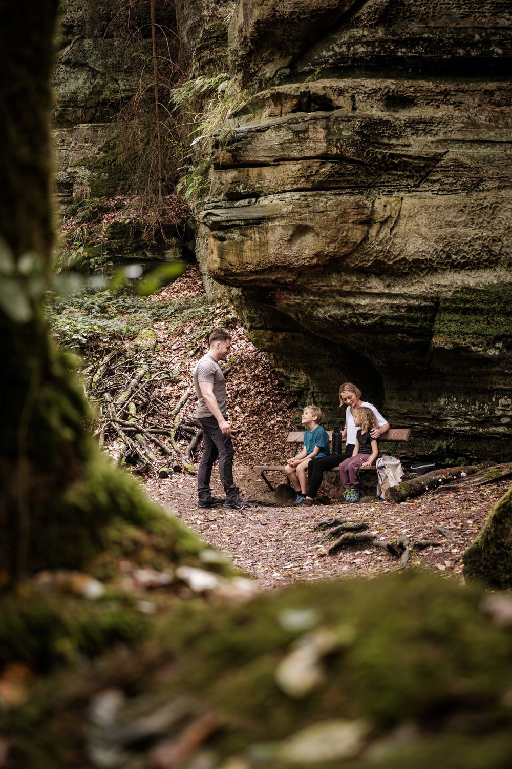
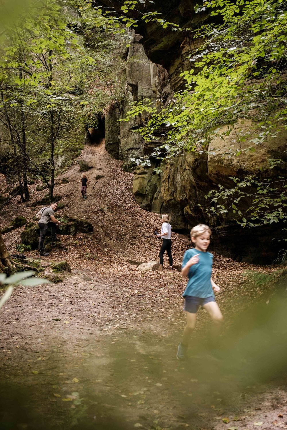
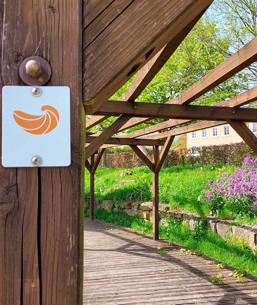
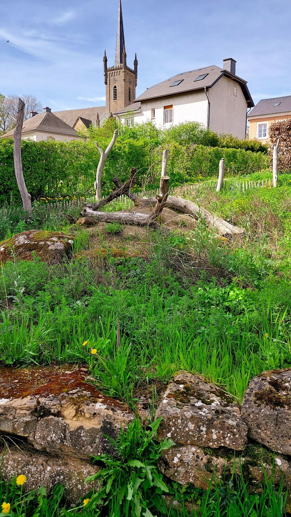
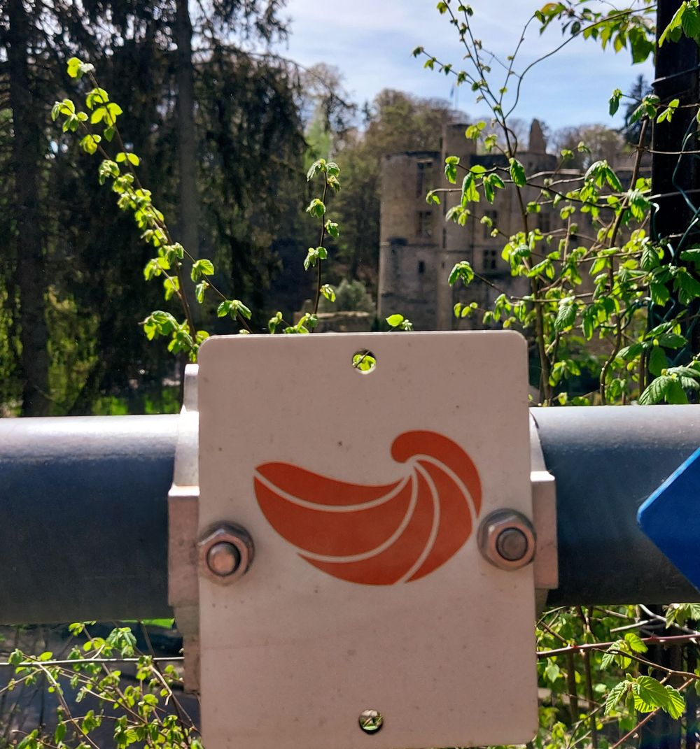
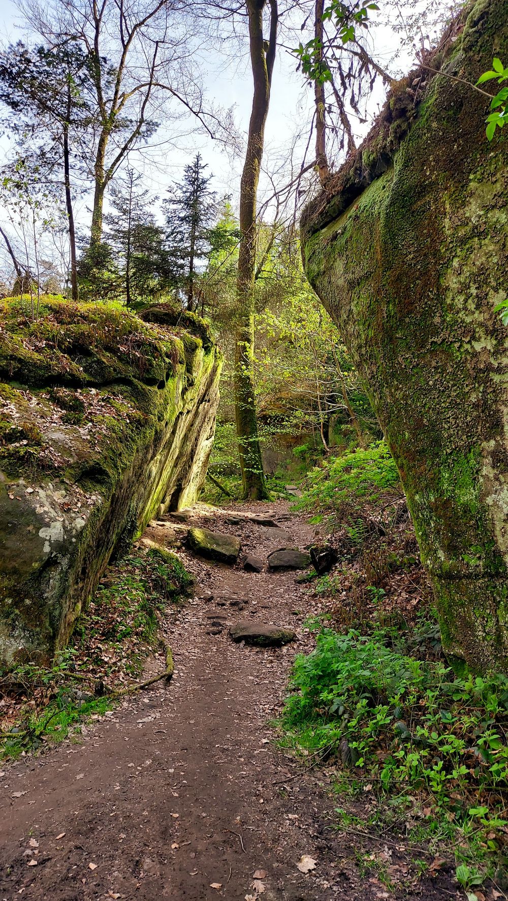
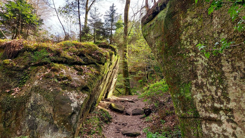
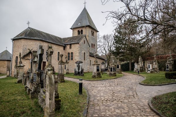
The educational path leads over about 5 km through the valleys of the Haupeschbach and the Halerbach. It is marked with a fossil oyster ("devil's claw"). It reminds us that the stones in the region were formed in a sea a long time ago. The valley is an extremely valuable area: it is a geotope of the Mëllerdall UNESCO Global Geopark, part of the European Natura 2000 network of protected areas, and has been on the list of national monuments since 1938.

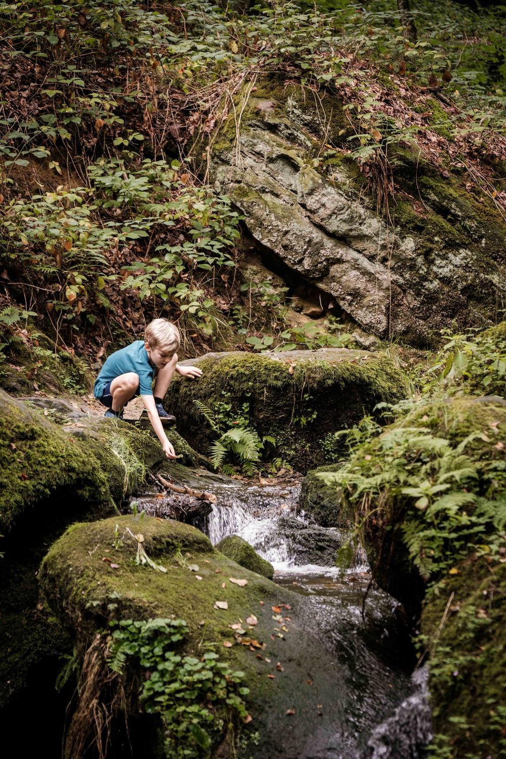
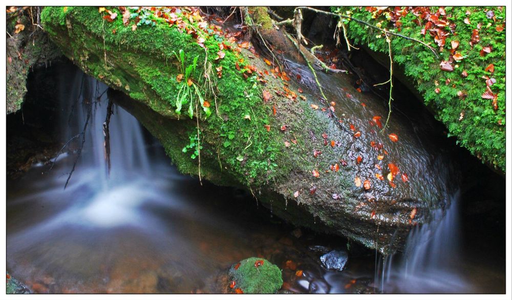
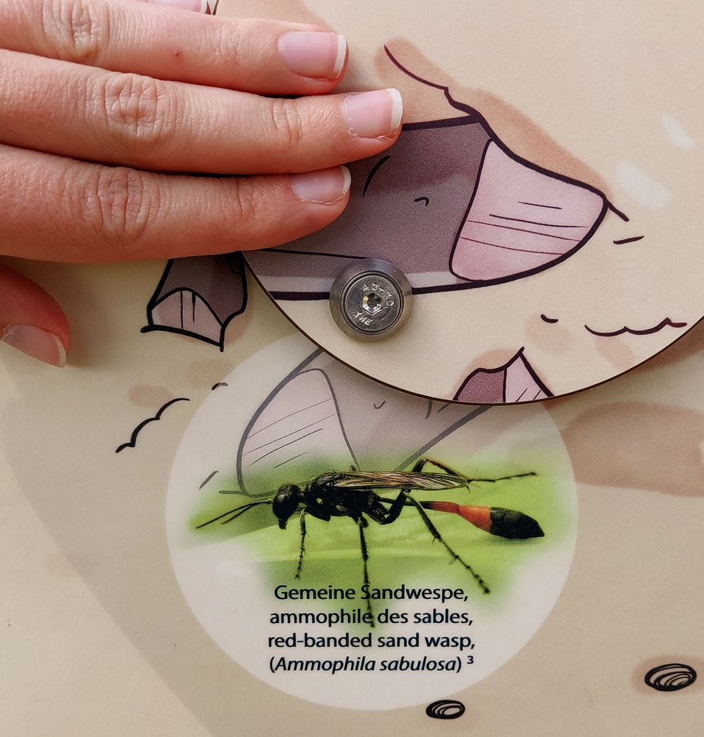
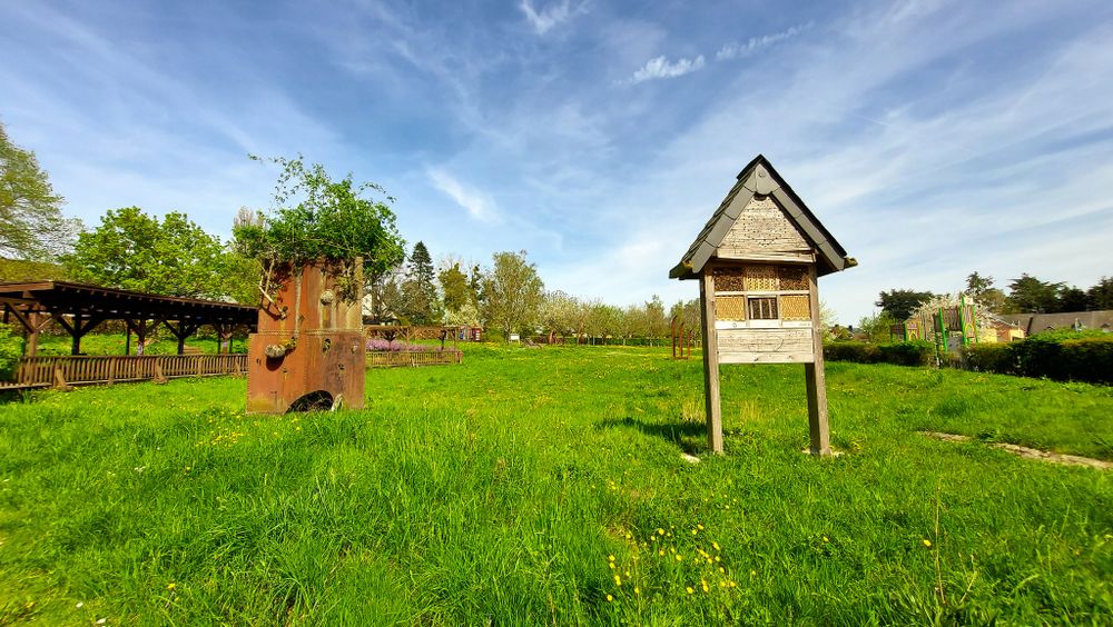
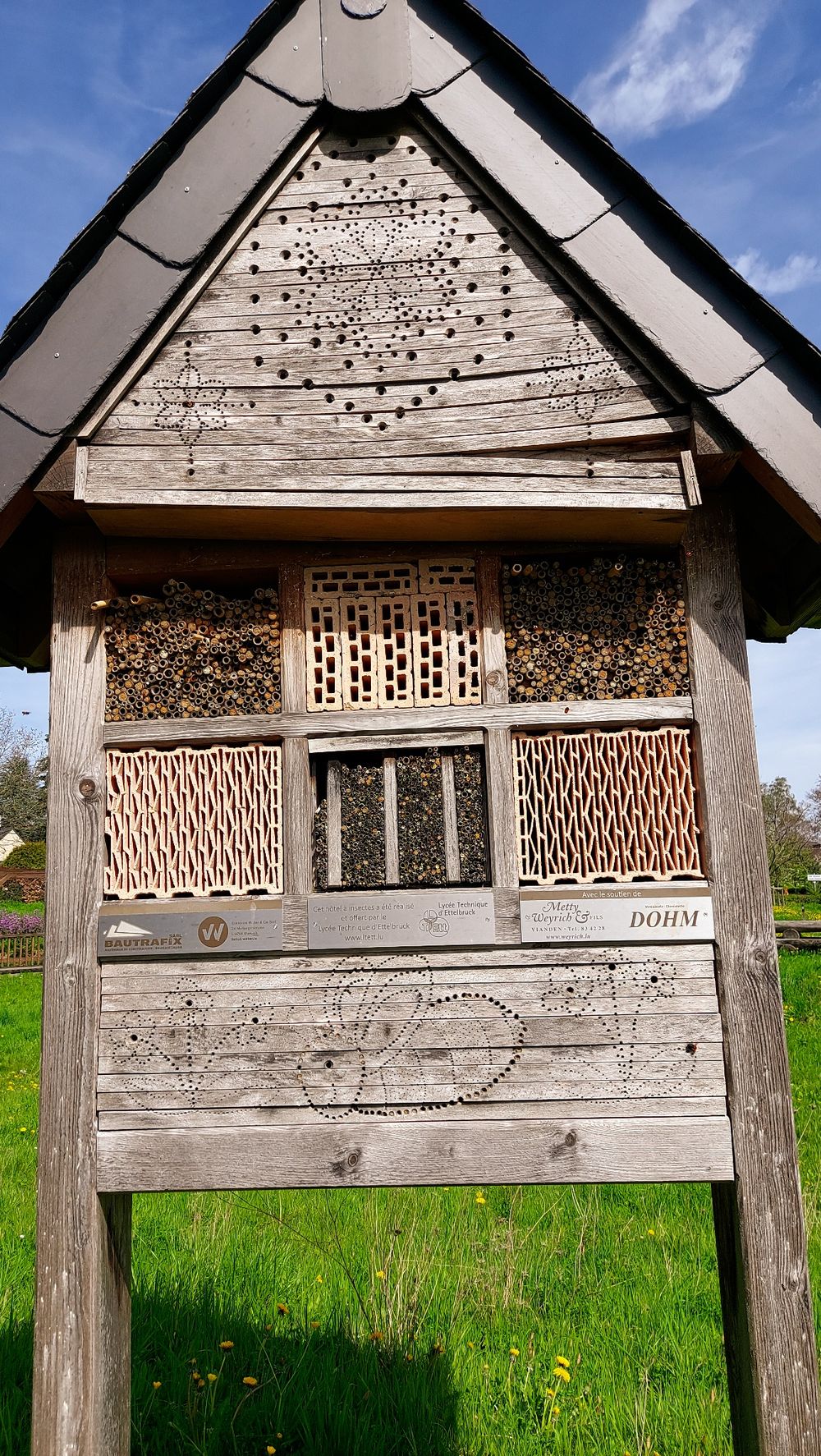
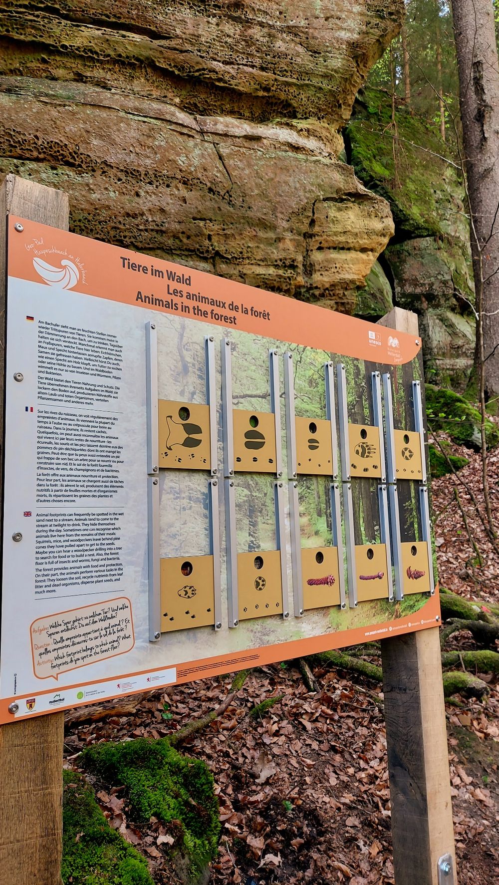
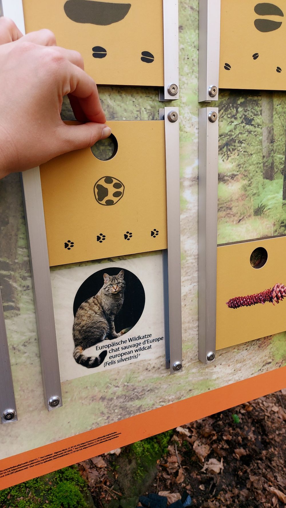
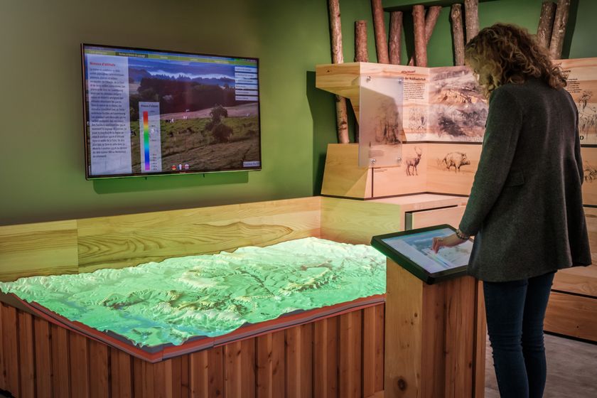
The path goes through the narrow valley in Luxembourg sandstone. At 14 interactive stations, one receives information about water: What does water have to do with the formation of sandstone? What processes can be observed today in a stream? What animals and plants live by the stream? Where does the water come from and how does man use the water and its power?
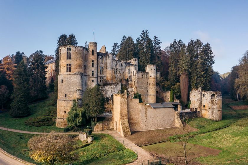
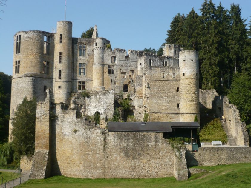
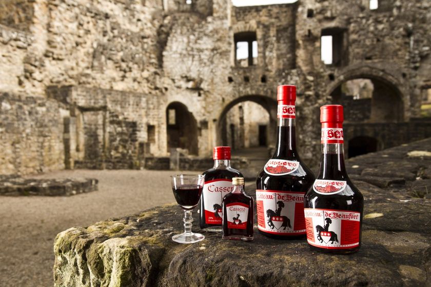
Hiking: Route 3 Mullerthal Trail, W5 (10.1 km), Geo-Pad Haupeschbach-Halerbach (4.9 km)
Nearest bus stop: Beaufort, Härewiss (1.5 km)

Suggestions nearby

Geo-Pad Haupeschbach and Halerbach

  • ©SI Beaufort
    Playground Härewiss
    Playground Härewiss
    Find out more
  • ©PANCAKE! Photographie
    Creek valleys “Haupeschbaach and Halerbaach”
    Hike along the wild-romantic, bubbling streams Haupeschbaach and Halerbaach
    Find out more
  • ©Anne Lommel
    free
    with theLuxembourgPass
    Beaufort Castles
    Immerse yourself in the history of the medieval castle and discover how the last occupant lived in the Renaissance castle.
    Find out more
  • ©Kuijpers/Frameart
    Liqueur of Beaufort Castle
    Liqueur of Beaufort Castle
    Find out more
  • Parking - Castle of Beaufort
    Parking - Castle of Beaufort
    Find out more
  • ©Th. Bichler
    Mëllerdall UNESCO Global Geopark
    Mëllerdall UNESCO Global Geopark
    Find out more
  • ©Pancake! Photographie
    Geo-Expo
    Exhibition about the genesis of the Mëllerdall landscape and its unique cultural and natural heritage.
    Find out more

Similar hiking tours

©Tom Barnich, Visit Berdorf
Circular routes
Local hiking trail - B17
Distance: 6,14 km
Duration: 1:40 h
Difficulty: medium
Find out more
©Visit Luxembourg
Thematic paths
Circular hiking trail through the Deiwelskopp nature reserve
Distance: 8,50 km
Duration: 2:27 h
Difficulty: medium
Find out more
©Visit Luxembourg
Thematic paths
Didactic nature path "Joffer Margot"
Distance: 6,88 km
Duration: 2:00 h
Difficulty: medium
Find out more
©Visit Luxembourg
Circular routes
Local hiking route - F2
Distance: 8,21 km
Duration: 2:30 h
Difficulty: medium
Find out more
©Visit Luxembourg
Circular routes
Local hiking route - L2
Distance: 8,54 km
Duration: 2:30 h
Difficulty: medium
Find out more
©Visit Luxembourg
Circular routes
Local route - B10
Distance: 4,99 km
Duration: 1:20 h
Difficulty: medium
Find out more
©Visit Luxembourg
Circular routes
Local hiking route - E8
Distance: 6,26 km
Duration: 1:40 h
Difficulty: medium
Find out more
©ORT MPSL , Visit Luxembourg
Circular routes
Local walking route - B1
Distance: 10,58 km
Duration: 3:05 h
Difficulty: medium
Find out more
©Visit Luxembourg
Circular routes
Local hiking trail - W1
Distance: 6,81 km
Duration: 1:47 h
Difficulty: medium
Find out more
outdooractive This website uses technology and content from the Outdooractive Platform.