©Visit Luxembourg
Müllerthal Germany France

Local hiking path - E6

Hunting Season 2025/26 — Check for hunts

Autumn is here, and that means hunting season has begun! From mid-October to January/February, hunters are active across the country. Stay safe by checking hunt dates in your area on our Map. 

Click on Map in the Header > Services > More > Hunting.

Starting point

Ermsdorf: Cemetery

Destination

Ermsdorf: Cemetery

Distance
7,54 km
Duration
2:15 h
Difficulty
medium
  • Condition
Highest point
425 Hm
Lowest point
250 Hm
Aggregated Ascent
277 Hm
Aggregated Descent
277 Hm
Circular routes Visit Luxembourg

Description

Kids & Family Scenic Dog-friendly

This varied hiking route takes you through beautiful forests to the idyllic village of Eppeldorf and offers you lovely views.

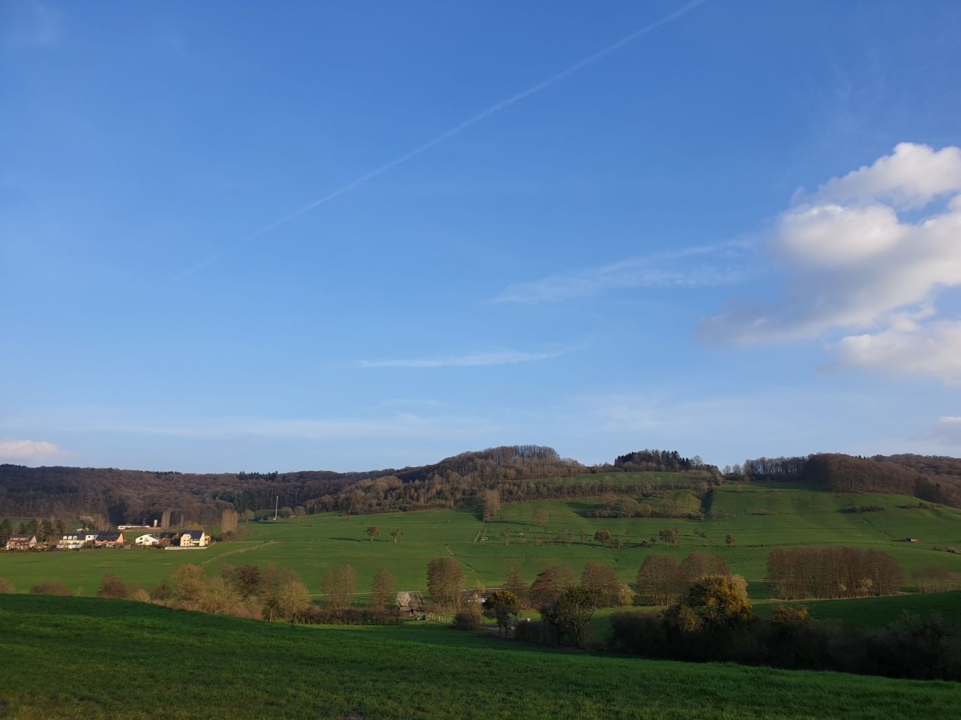
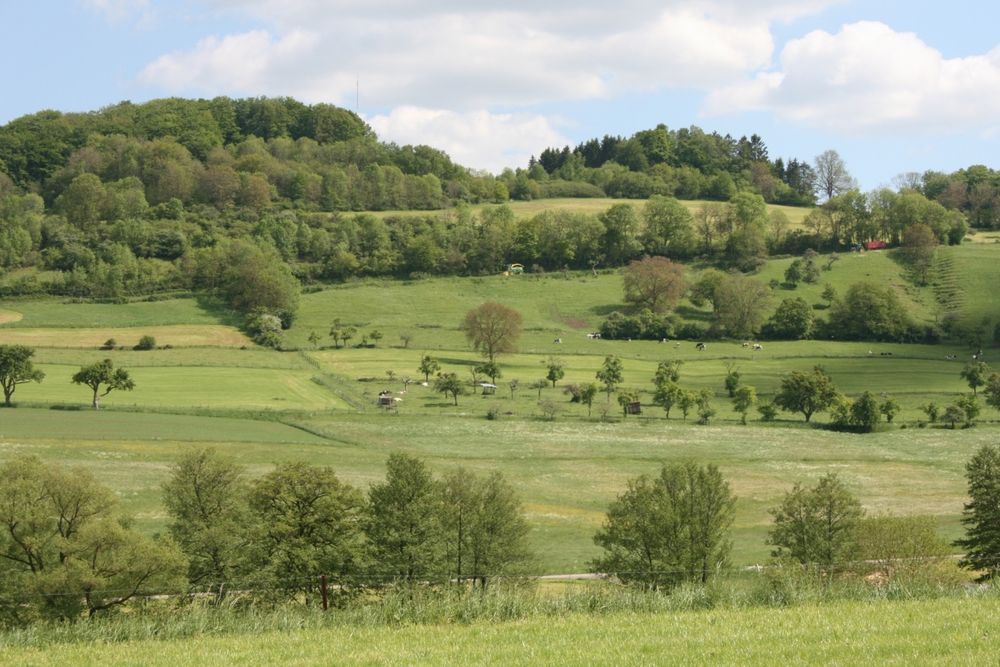
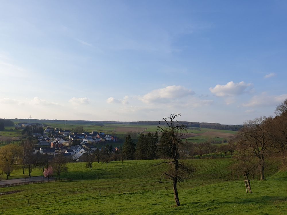
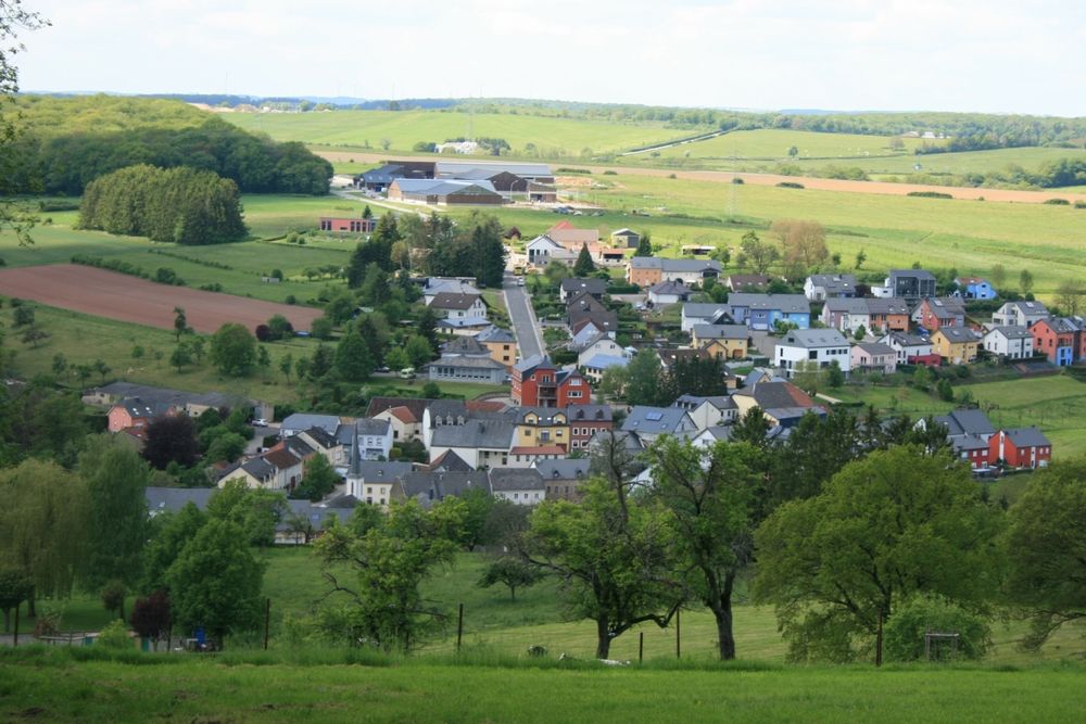
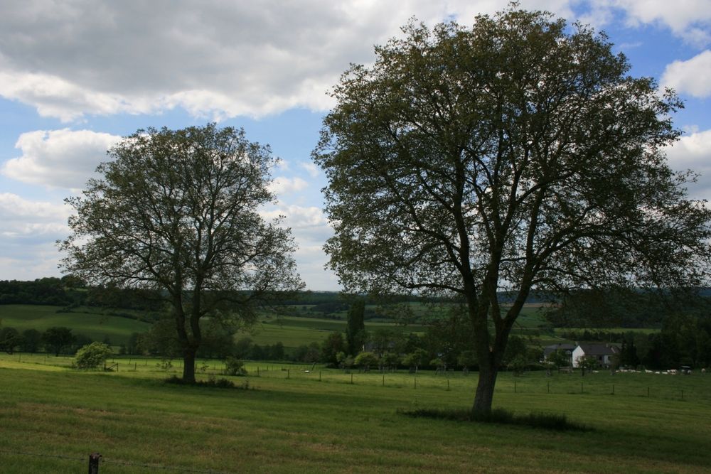
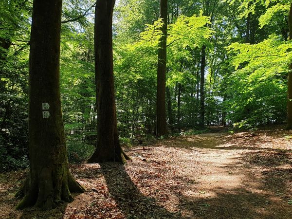
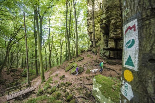
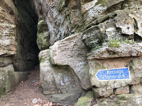
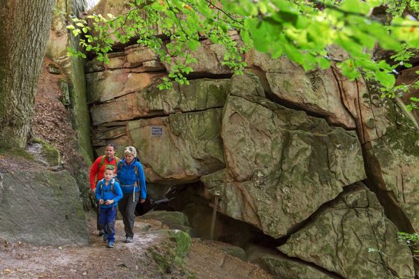
The hiking route begins at the cemetery of Ermsdorf and leads through beautiful forests and open plateau landscapes to the idyllic village of Eppeldorf.
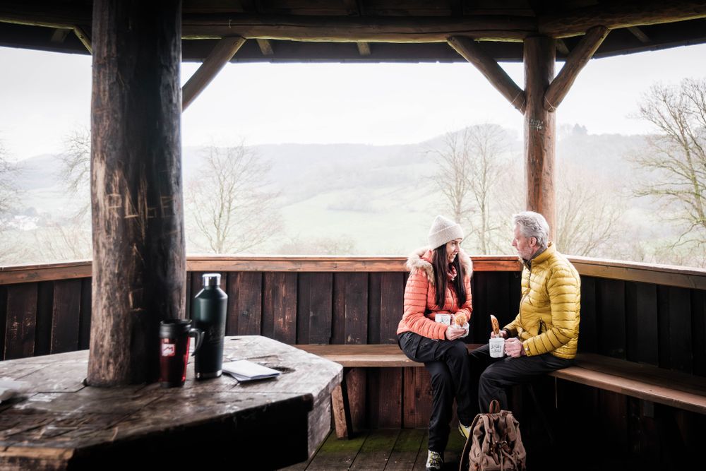
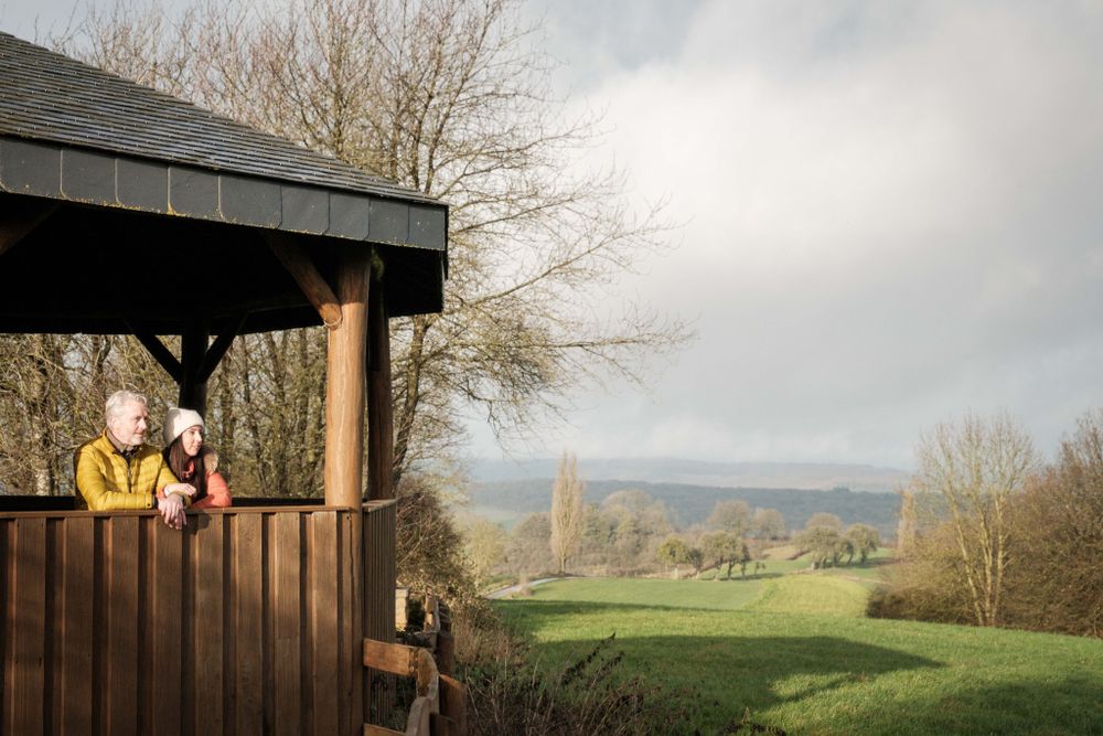
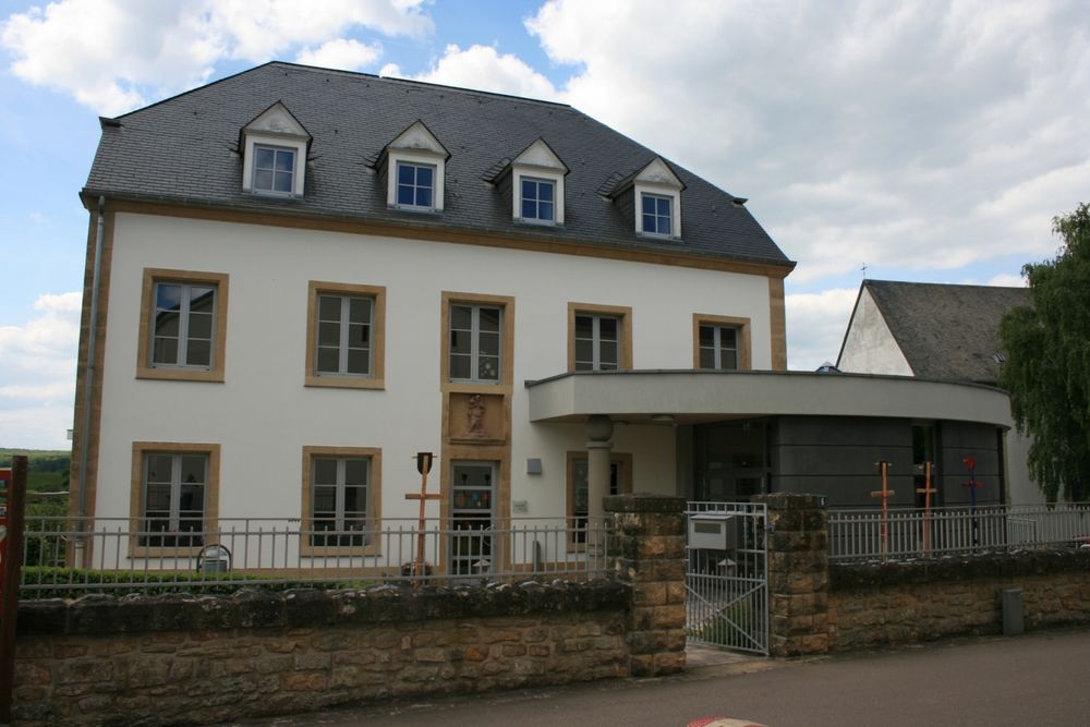
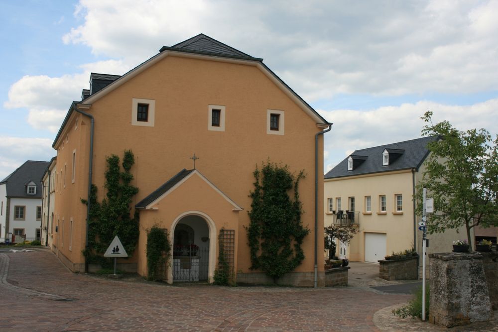
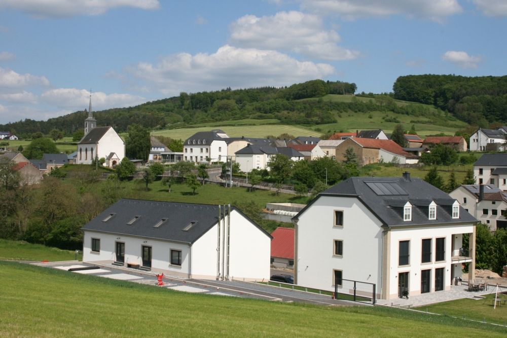
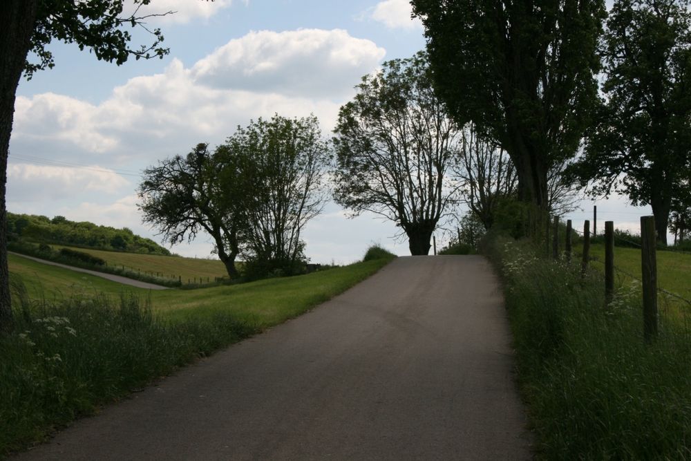
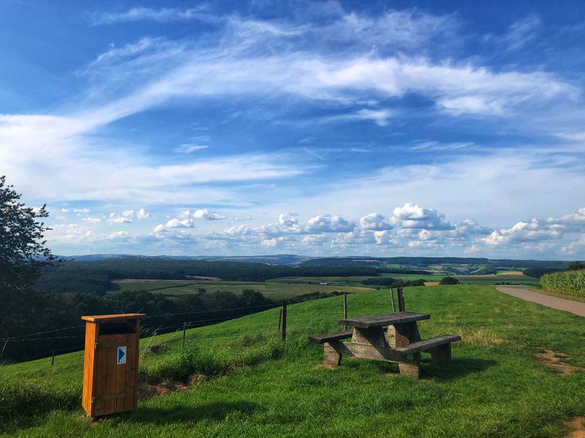
First, the path rises to 421 m altitude, where there is a magnificent view of the heights of the Ardennes. On the way to the well-preserved farming village of Eppeldorf with its beautiful church with Baroque church furnishings, the path passes the Eppeldorf Grotto. This was erected after the war by survivors in gratitude. From Eppeldorf, the path goes down to the Kriibsebaach and then rises again to the Belvédère viewpoint with its picnic area. On a scenic path, it goes back to Ermsdorf.
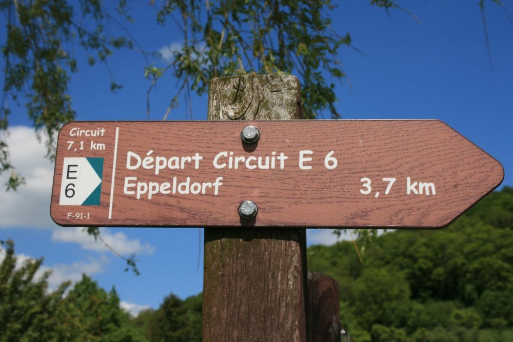
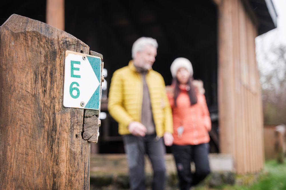
Suggestions nearby

Local hiking path - E6

  • ©Eppelpress/Frameart
    Eppelpress
    The family farm produces natural products from regional ingredients.
    Find out more
  • Picnic area Kneipenhecken
    Picnic area Kneipenhecken
    Find out more

Similar hiking tours

©Visit Luxembourg
Thematic paths
Circular hiking trail through the Deiwelskopp nature reserve
Distance: 8,50 km
Duration: 2:27 h
Difficulty: medium
Find out more
©Visit Luxembourg
Circular routes
Local hiking route - F2
Distance: 8,21 km
Duration: 2:30 h
Difficulty: medium
Find out more
©Tom Barnich, Visit Berdorf
Circular routes
Local hiking trail - B17
Distance: 6,14 km
Duration: 1:40 h
Difficulty: medium
Find out more
©Visit Luxembourg
Thematic paths
Didactic nature path "Joffer Margot"
Distance: 6,88 km
Duration: 2:00 h
Difficulty: medium
Find out more
©Visit Luxembourg
Circular routes
Local hiking route - B12
Distance: 3,25 km
Duration: 0:55 h
Difficulty: medium
Find out more
©Visit Luxembourg
Circular routes
Local route - B10
Distance: 4,99 km
Duration: 1:20 h
Difficulty: medium
Find out more
©Visit Luxembourg
Thematic paths
Memorial Route
Distance: 20,46 km
Duration: 5:40 h
Difficulty: medium
Find out more
©L. Schömer, Visit Luxembourg
Circular routes
Auto-pédestre trail Bollendorf-Pont
Distance: 8,67 km
Duration: 2:40 h
Difficulty: medium
Find out more
©Visit Luxembourg
Circular routes
Auto-Pédestre hiking route Echternach Centre
Distance: 6,71 km
Duration: 2:00 h
Difficulty: medium
Find out more
outdooractive This website uses technology and content from the Outdooractive Platform.