Circular routes Visit Luxembourg
Description
Due to the aftermath of a fire near Weilerbach, there is a detour via the cycle path on this route.
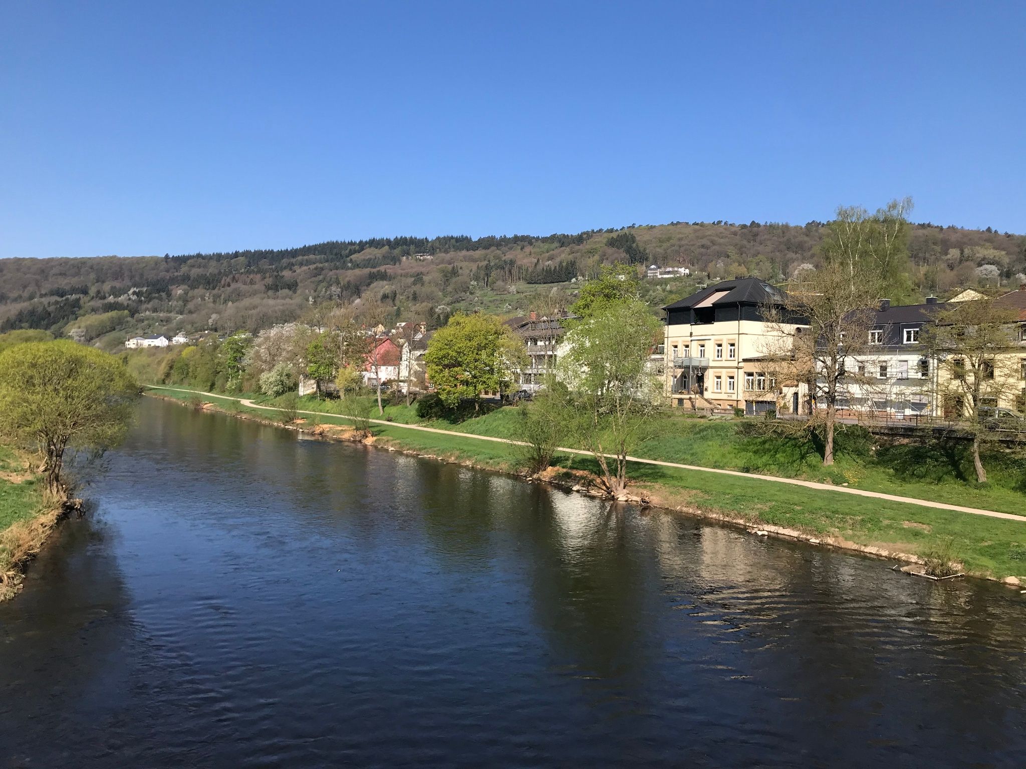
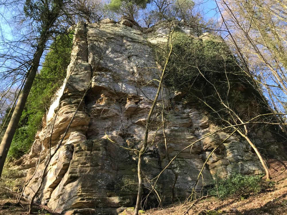
This partly sporty circular hiking route offers both exciting rock formations and the relaxing effect of the water along the Sauer.
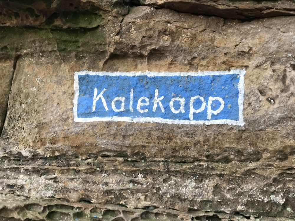
This path starts at the N10 (parking lot) with a steep ascent into the forests, during which you will enjoy a beautiful view of the Sauer valley. Once in the forest, spectacular rock formations await, accompanying the hiker for several kilometers until the path descends again into the Sauer valley. From here, the path runs pleasantly flat along the Sauer, with beautiful views back to the opposite side towards the starting point.
Equipment
Sturdy footwear and something to drink.
Journey
Public transport:
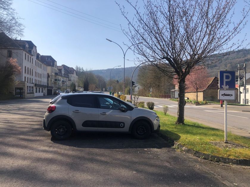
Parking:
Nearest bus stop: Bollendorf, Pont (50 m)
Parking:
Nearest parking lot: Bollendorf-Pont (50 m)


 This website uses technology and content from the Outdooractive Platform.