Description
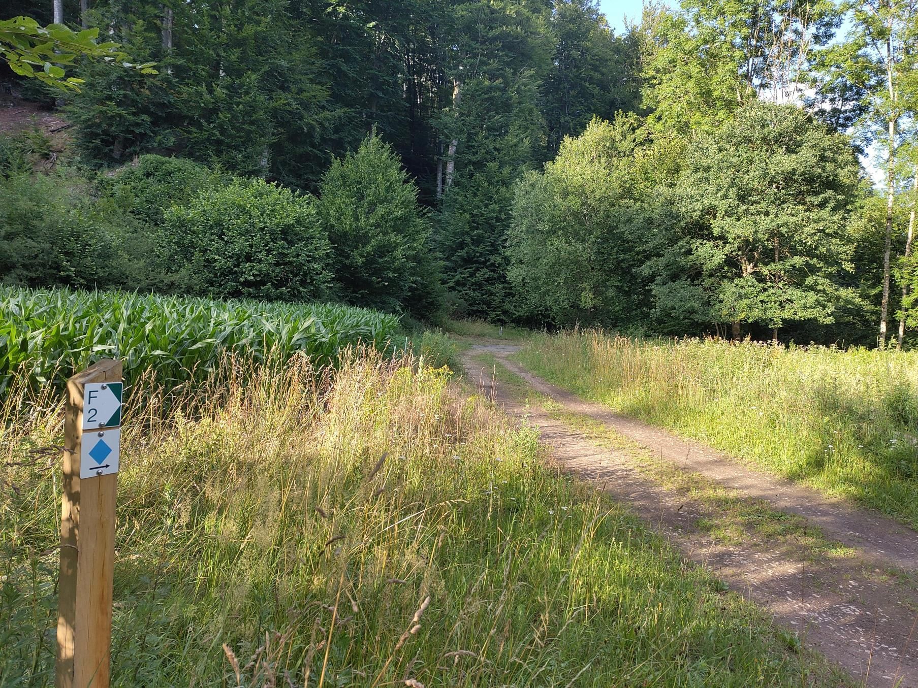
This local hiking route connects the Fischbach ponds with the Al Schmelz geotope.
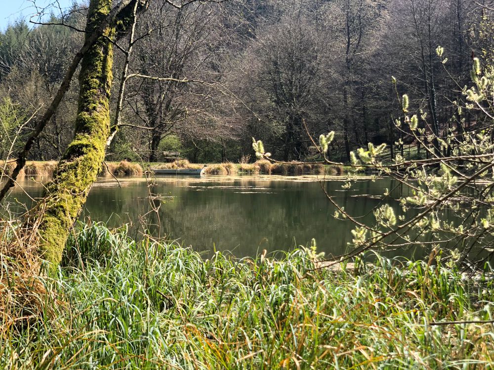
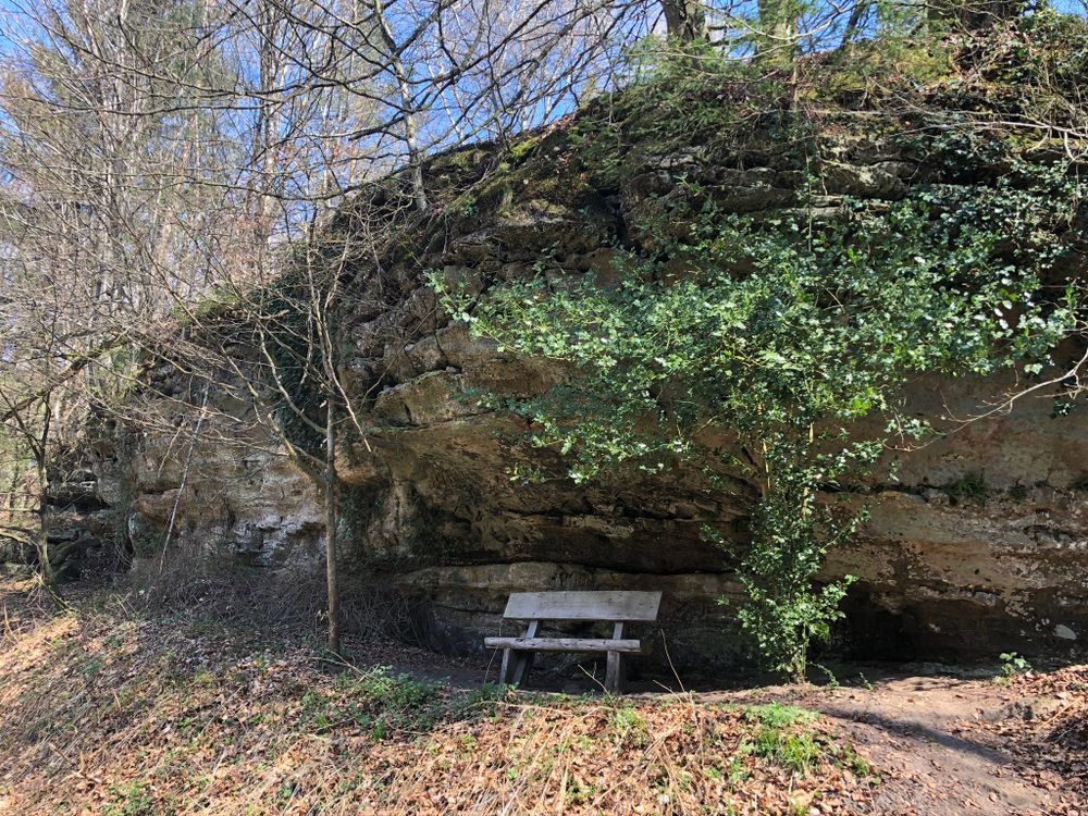
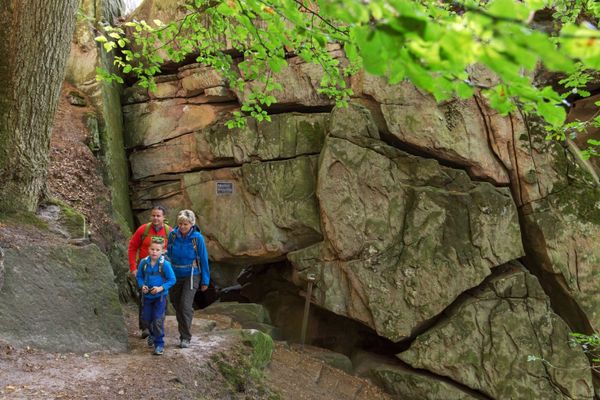
The route initially leads through the village of Fischbach. After a short climb, you reach a viewpoint overlooking the village. It then continues past the Wasserhaff to the Al Schmelz geotope, a pond that is the only visible remains of the old Fischbach smelting sites. There, a smelter explains vividly how it looked in the past.
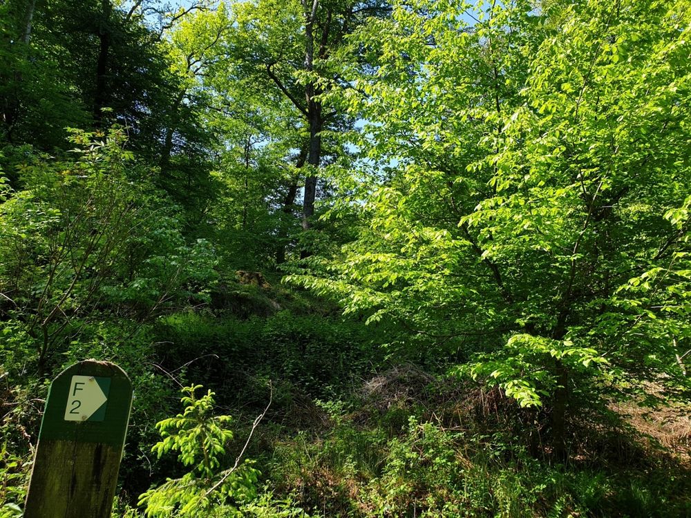
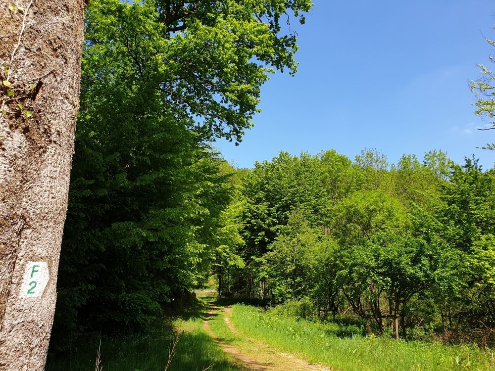
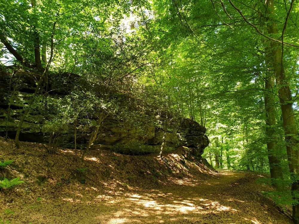
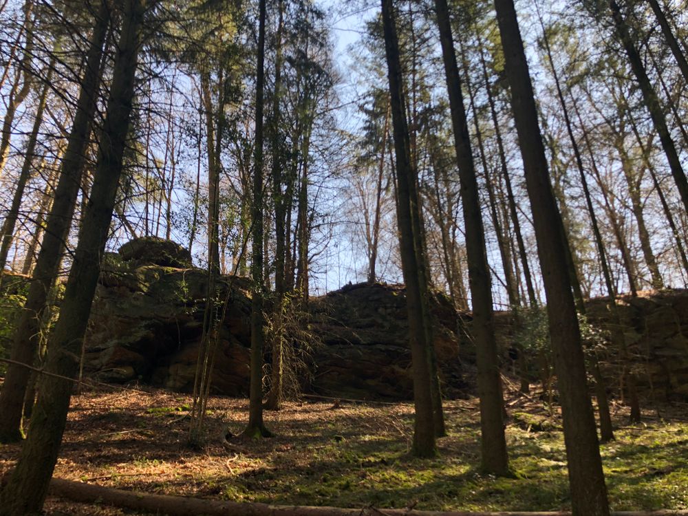
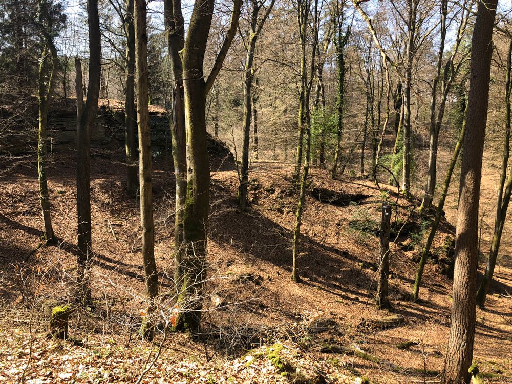
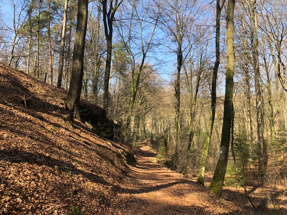
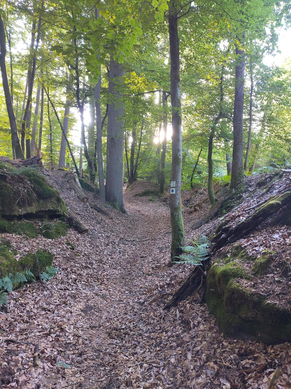
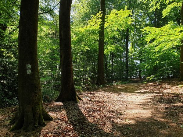
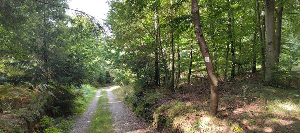
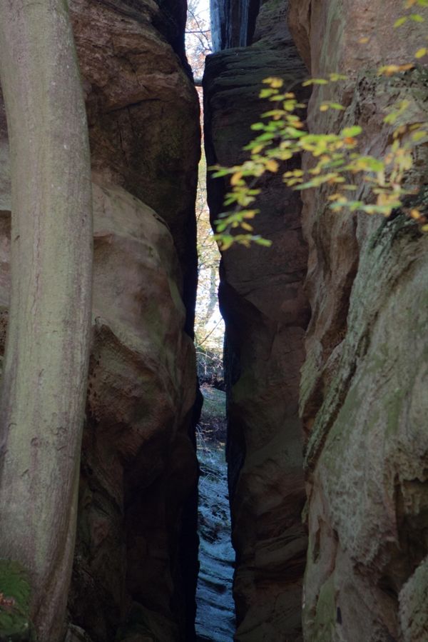
Afterward, an old hollow path leads uphill through the forest. The route then winds back down into the valley, surrounded by rocks. Along an asphalted path, you reach the Fisch ponds in Fischbach, which offer a place to stop.
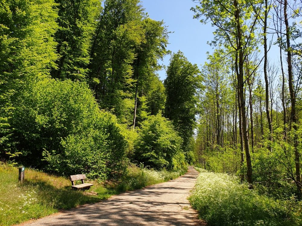
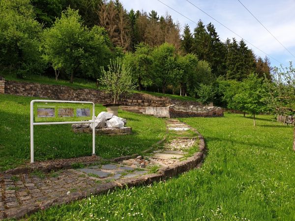
Another resting opportunity follows after the next climb: a pavilion with a picnic bench and pond invites you to relax. From there, it finally goes back to the starting point.
Equipment
Sturdy footwear
Journey
Nearest bus stop:
Fischbach (Mersch), Beim Schlass
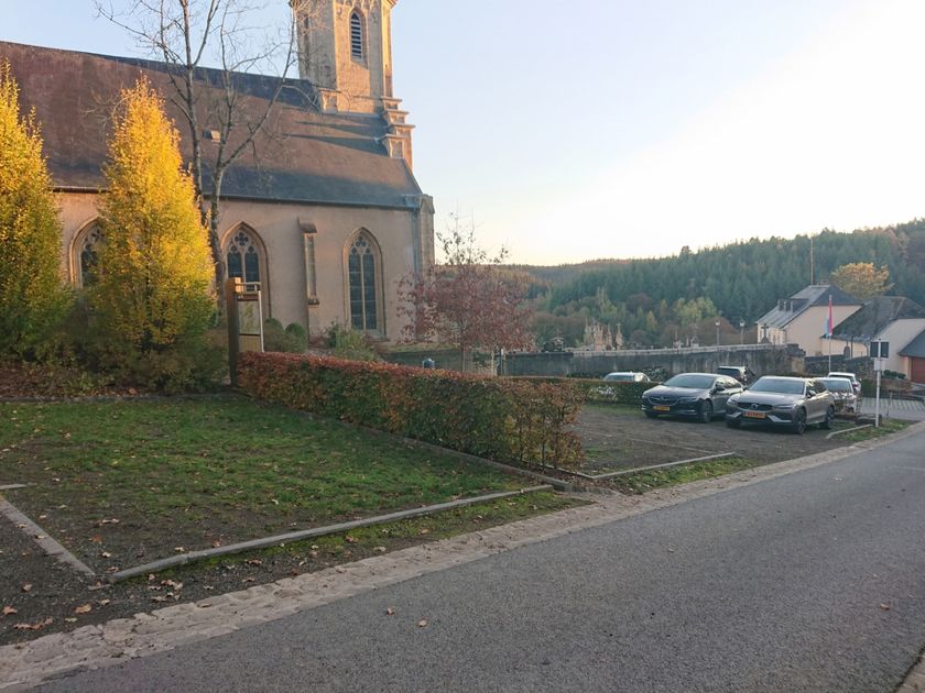
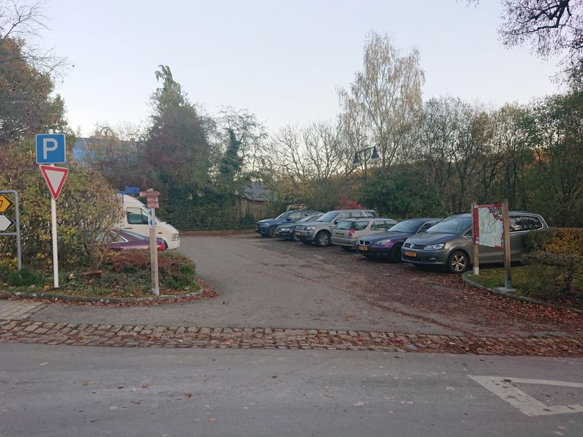
Parking:
Nearest parking: rue du Moulin


 This website uses technology and content from the Outdooractive Platform.