Description
Leisurely hike without much ascent, mainly through the forest, passing Meysemburg Castle and back to Larochette with a great view of the castle.
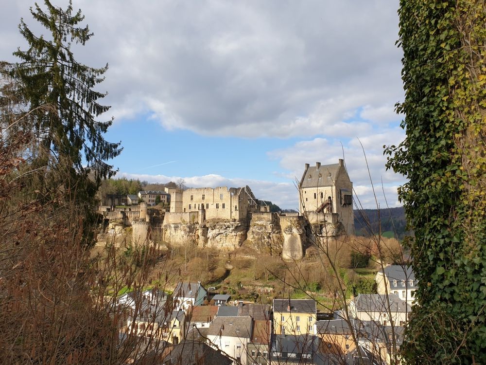
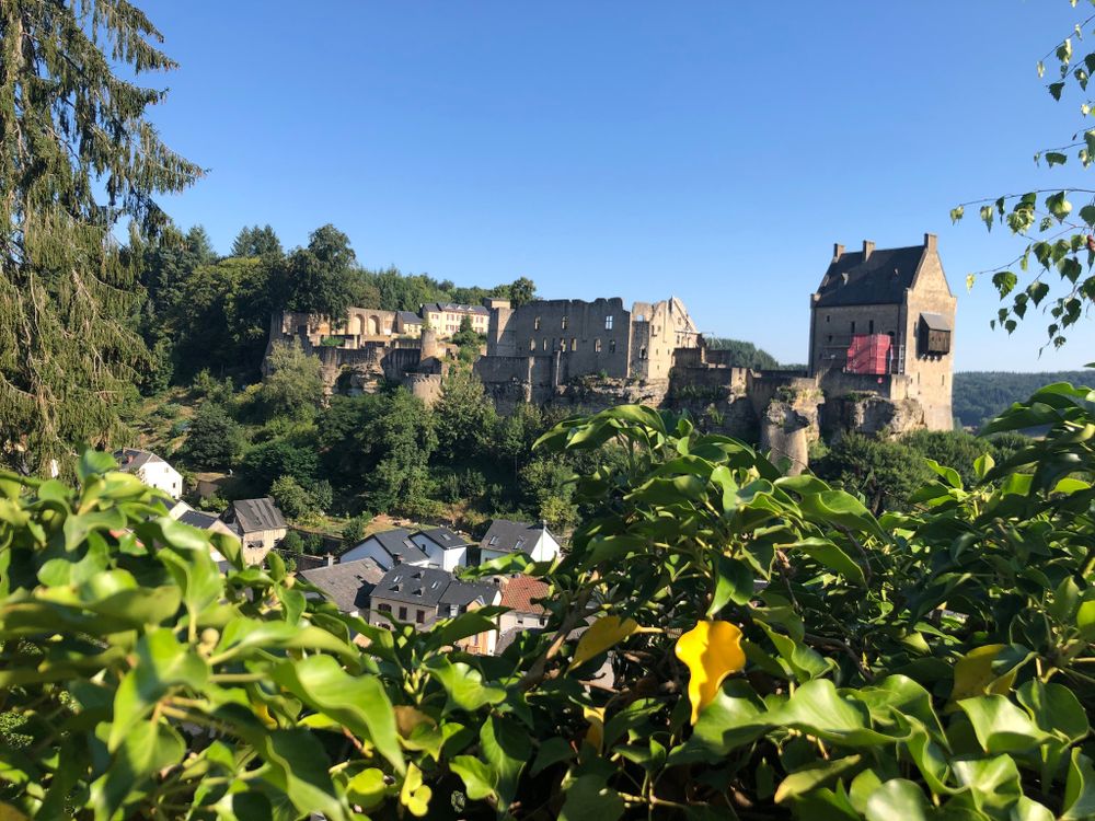
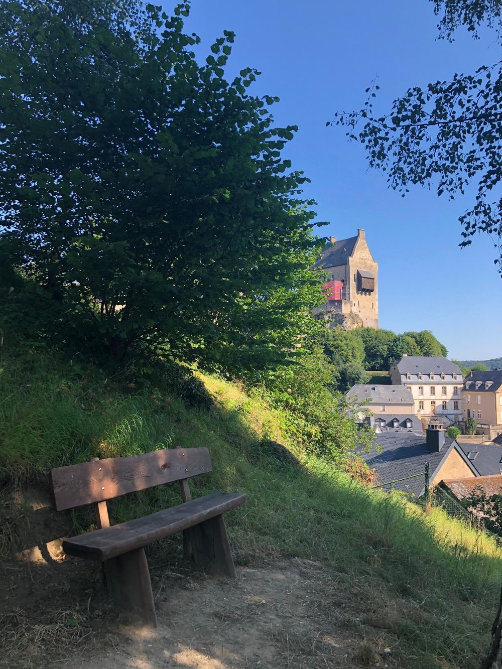
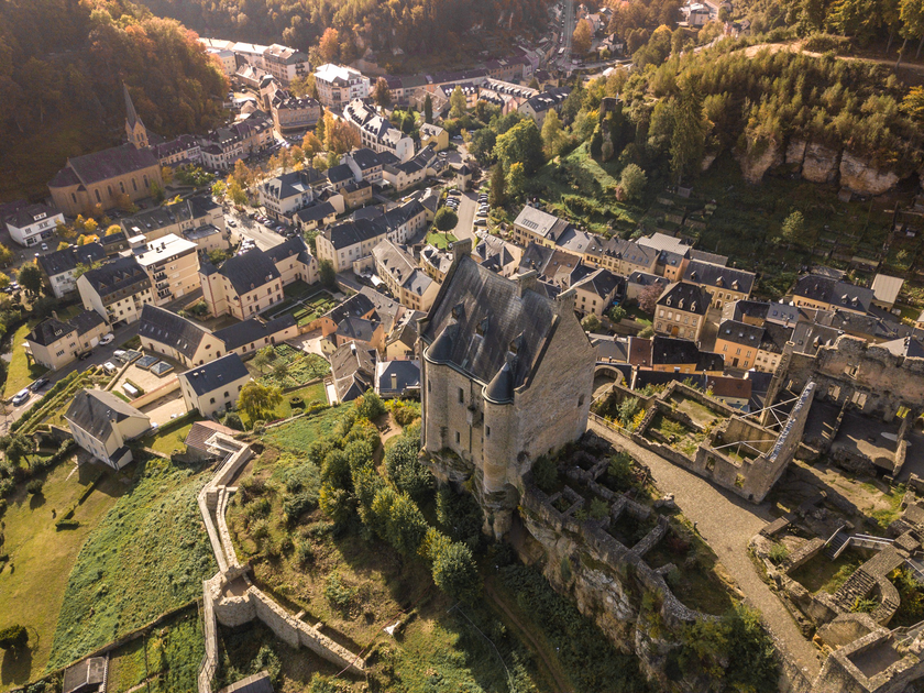
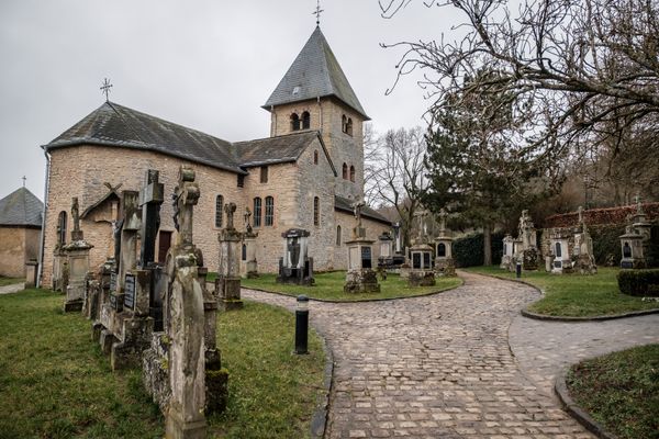
The picturesque village of Larochette (also called Fiels) lies in a valley surrounded by rocks and forest landscape. In the town center, the so-called "Bleech", you can find restaurants, cafés and hotels as well as various shops inviting you to stroll and linger. The landmark of Larochette is the castle ruins, which sit on the rock above the town and offer a romantic view. The castle ruins can be visited.
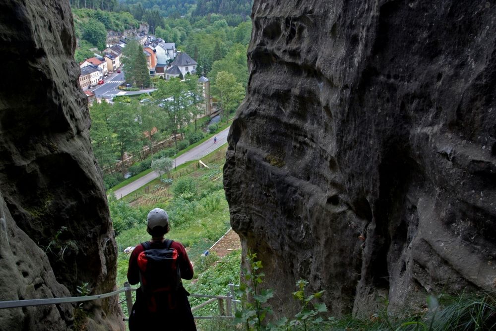
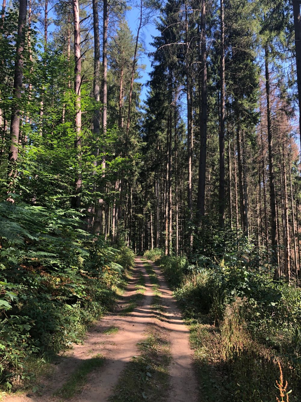
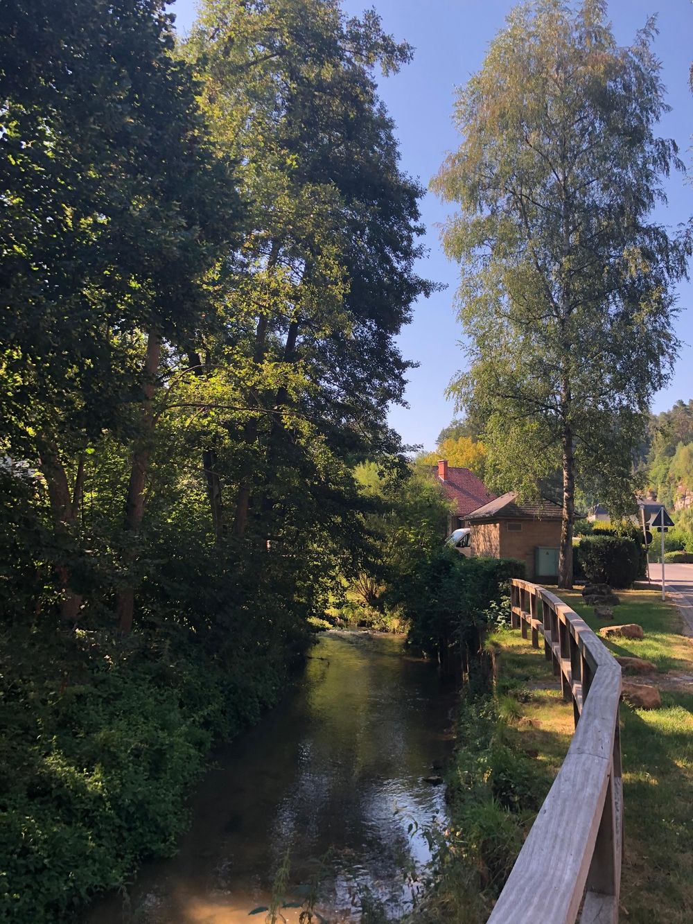
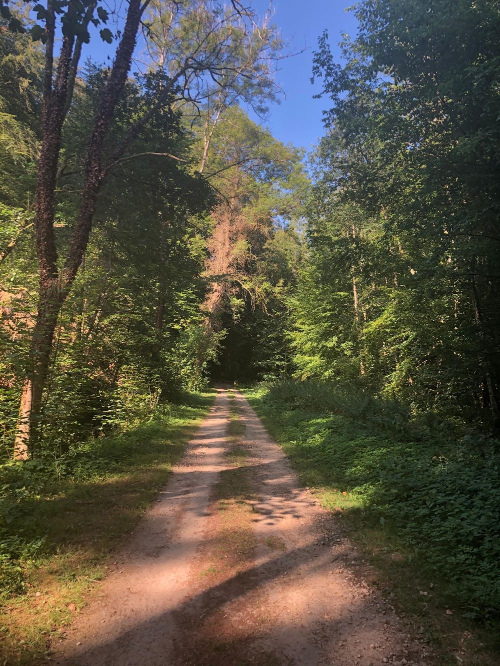
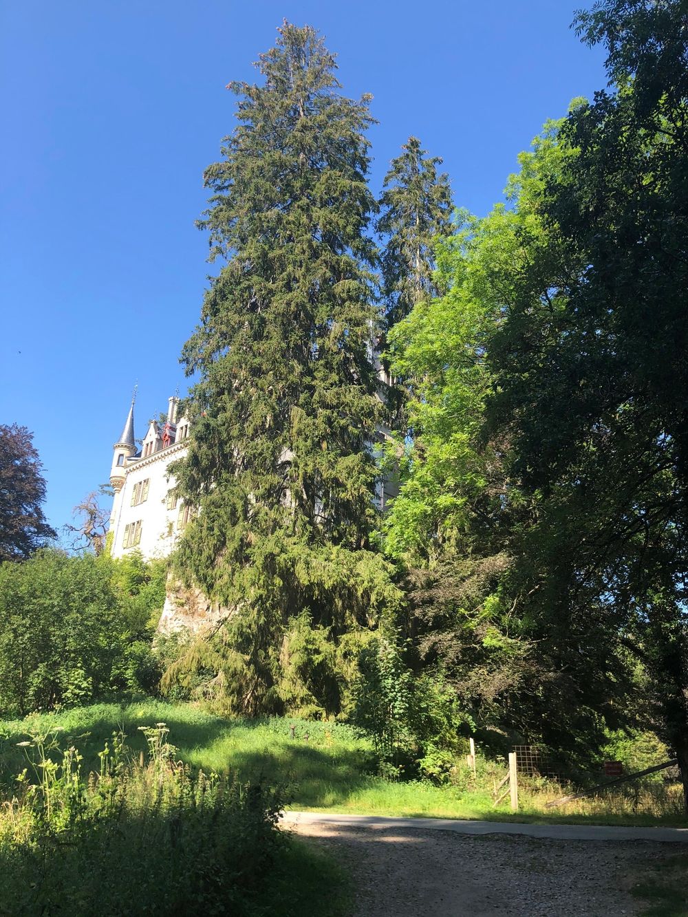
The hiking route leads from the beautiful village of Larochette along the idyllic Manzebaach to Meysemburg, located halfway along the hiking route. The castle is currently uninhabited but architecturally very impressive. The castle is surrounded by an idyllic forest and park landscape, where picnic benches invite hikers to a leisurely break in nature.
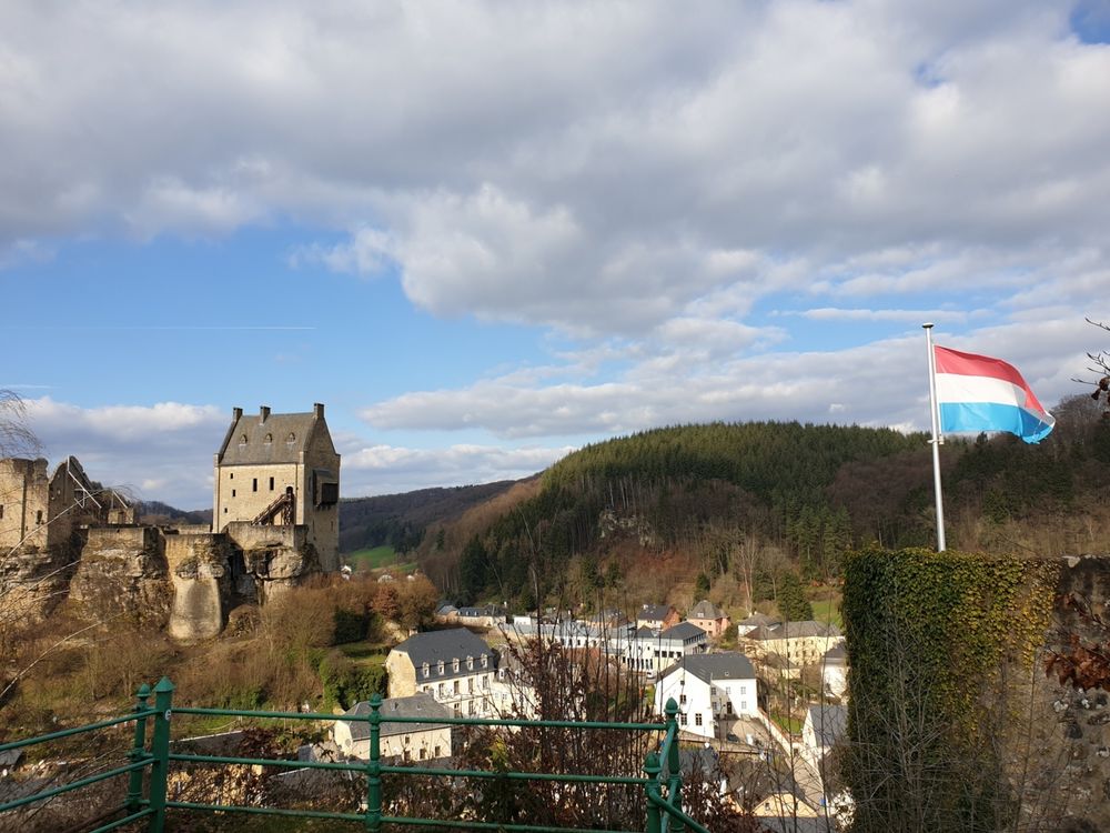
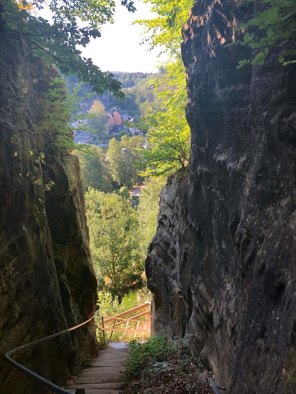
At the end of the hike, you reach the viewpoint Verluerekascht near Larochette. Here you are rewarded with an impressive view of the town and the opposite castle ruins.
Signposting

Directions
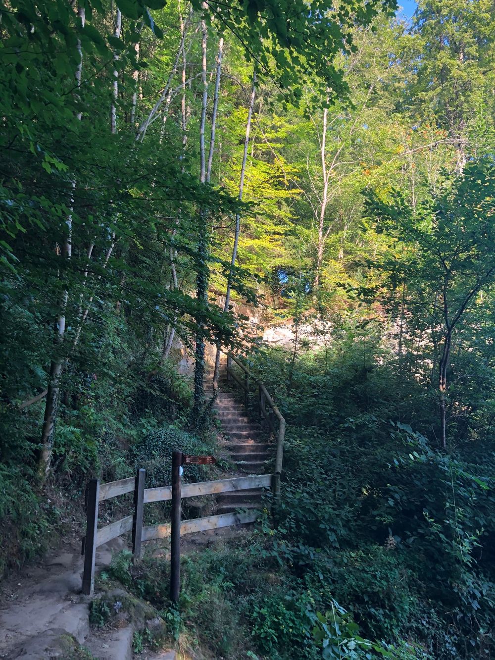
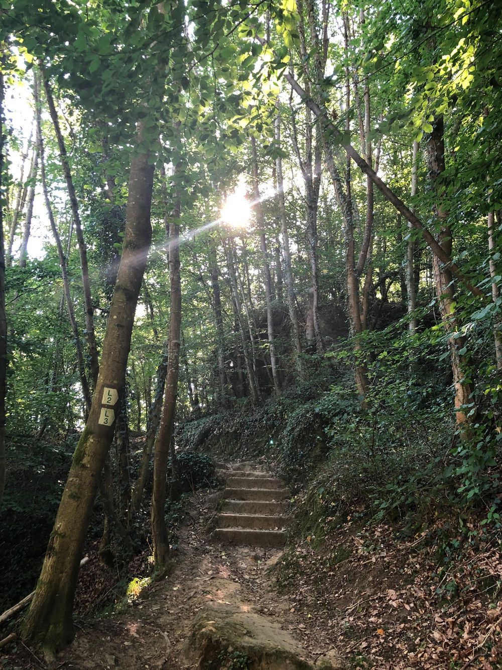
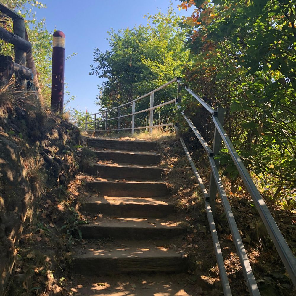
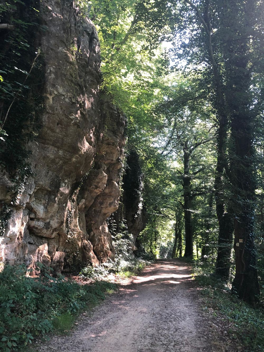
The L2 starts at the town hall and leads through the valley of the white Ernz to the Manzebaach stream. Along this, it then goes through a beautiful forest landscape to Meysembuerg Castle, located halfway. Here a break is recommended to admire the architecturally remarkable castle. It is privately owned and not accessible. Afterwards, the path leads back to Larochette via the former carriage road, to the Verluerekascht viewpoint with a beautiful view of the town with the castle ruins. The descent then leads back to the town.
Equipment
Sturdy footwear and some drinks.
Journey
Nearest bus stop: Larochette, Spuerkeess/ bus station
Parking:
Nearest parking: Schongfabrik (50 m)


 This website uses technology and content from the Outdooractive Platform.