Circular routes Visit Luxembourg
Description
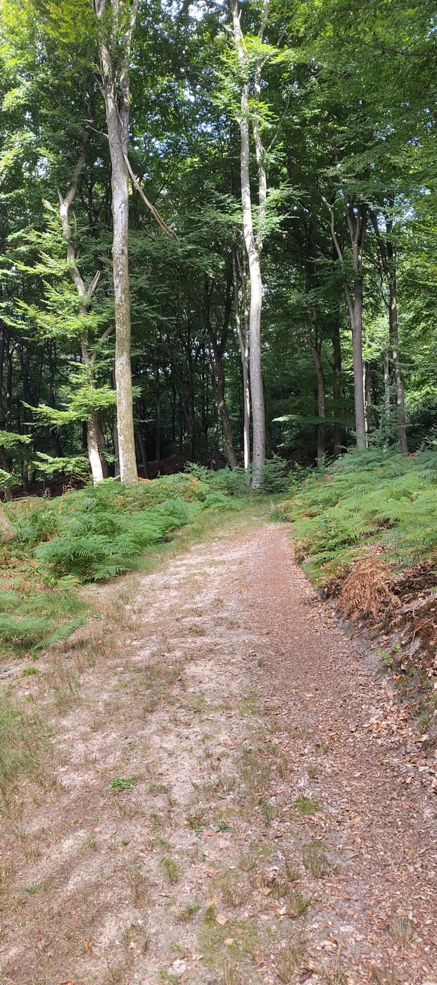
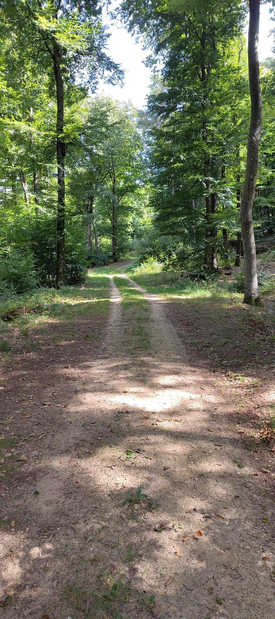
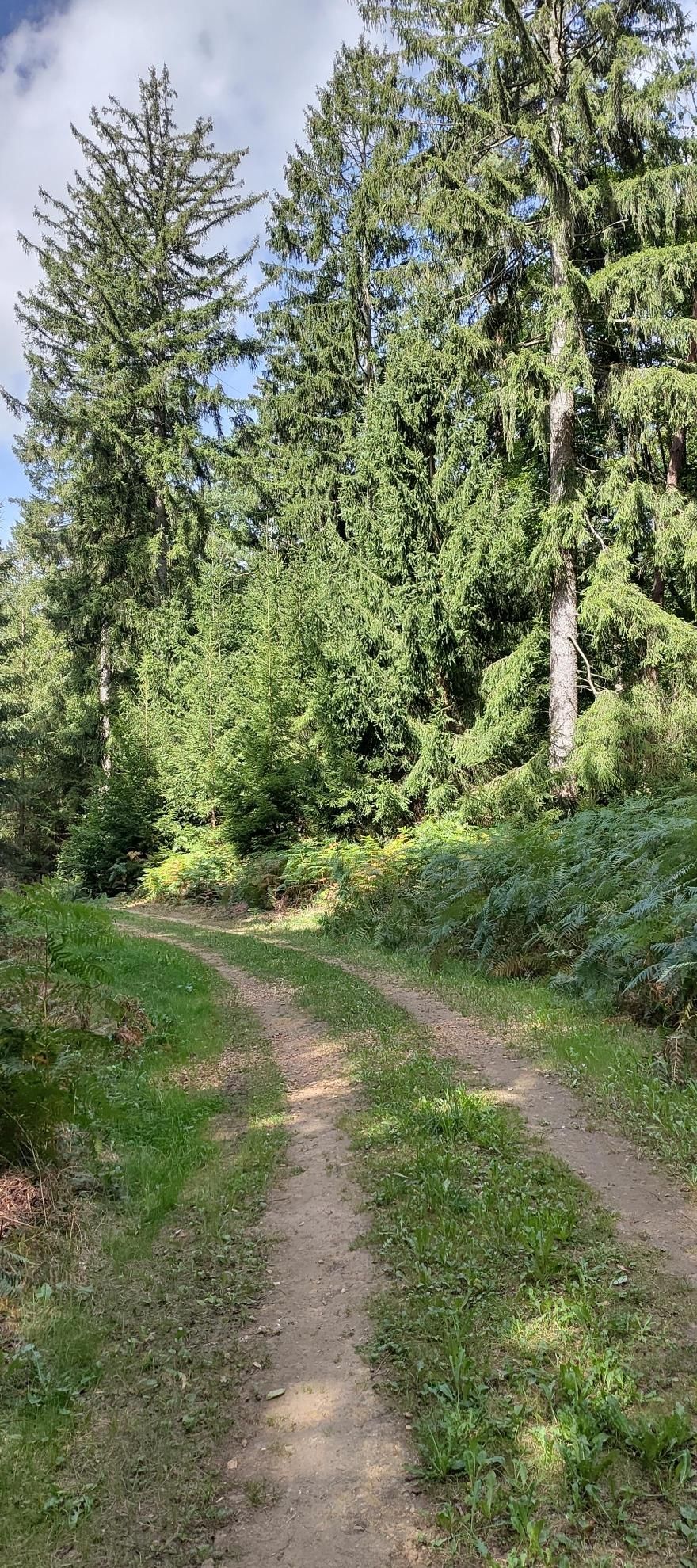
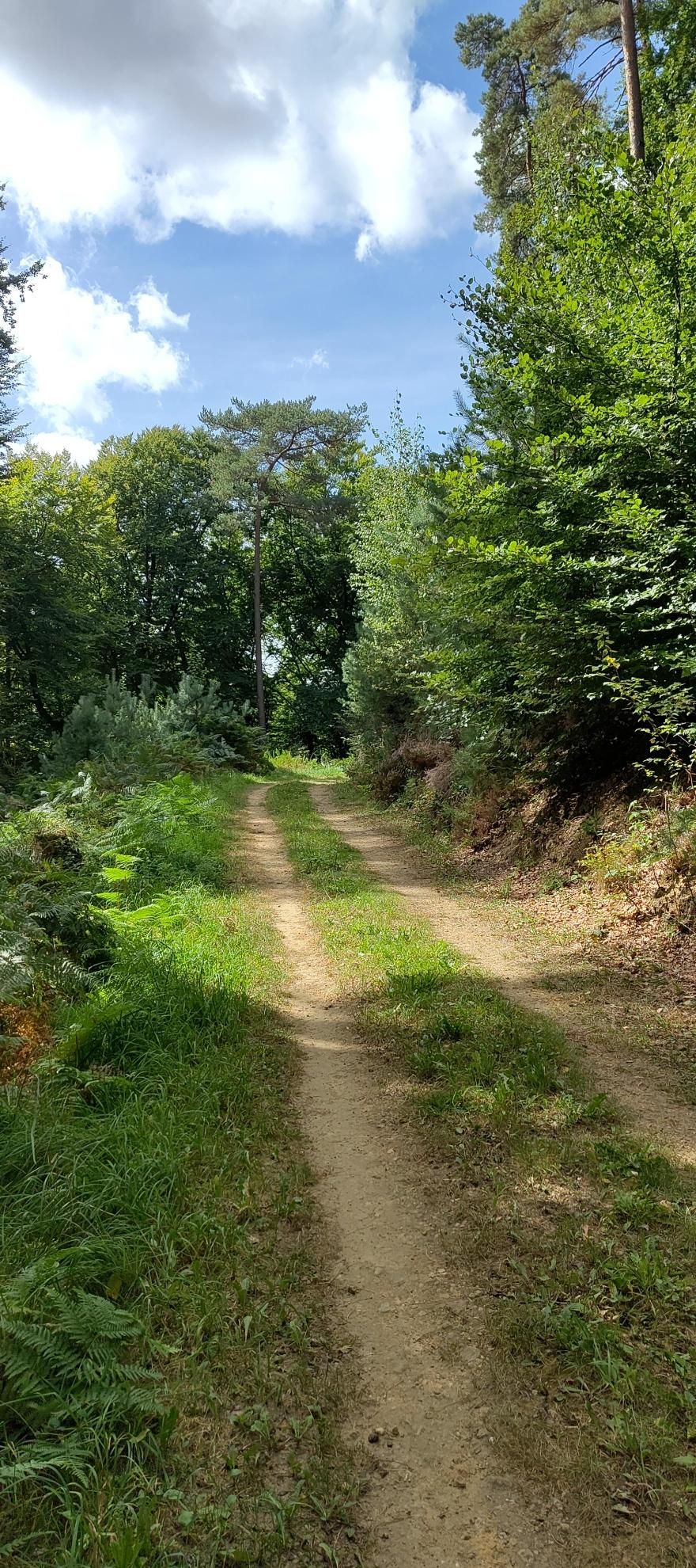
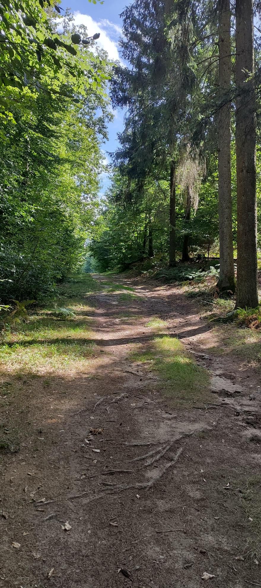
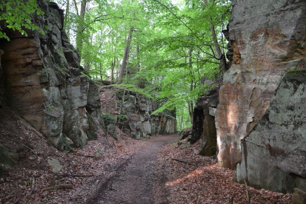
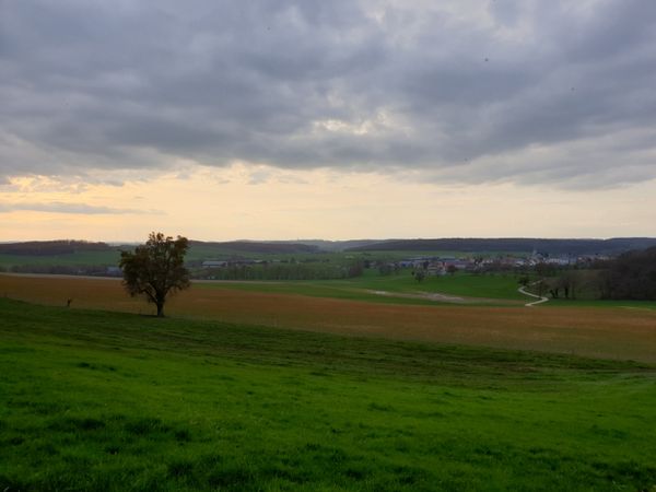
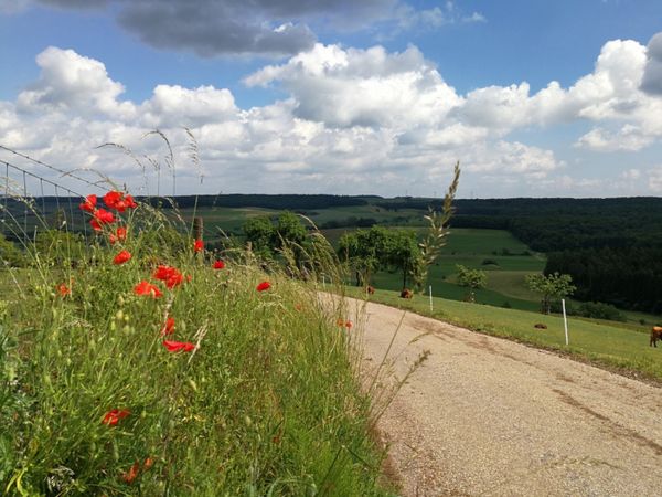
Quiet hike over open fields and through the forest passing rock formations.
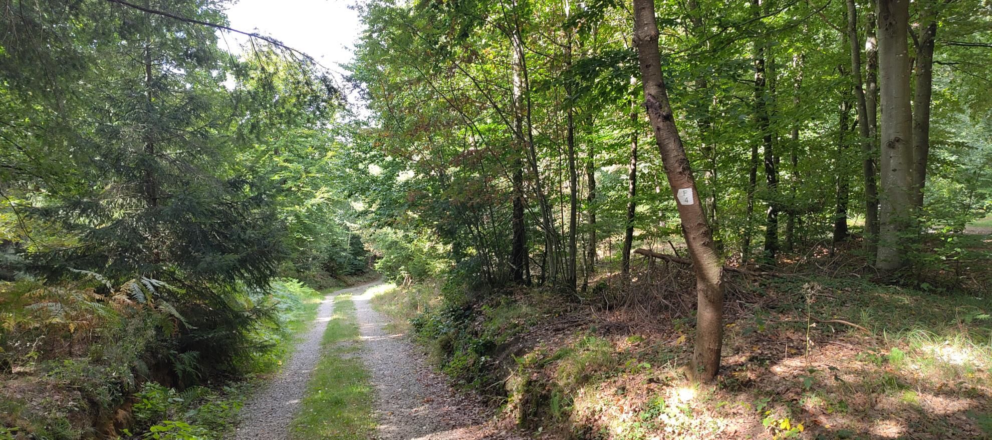
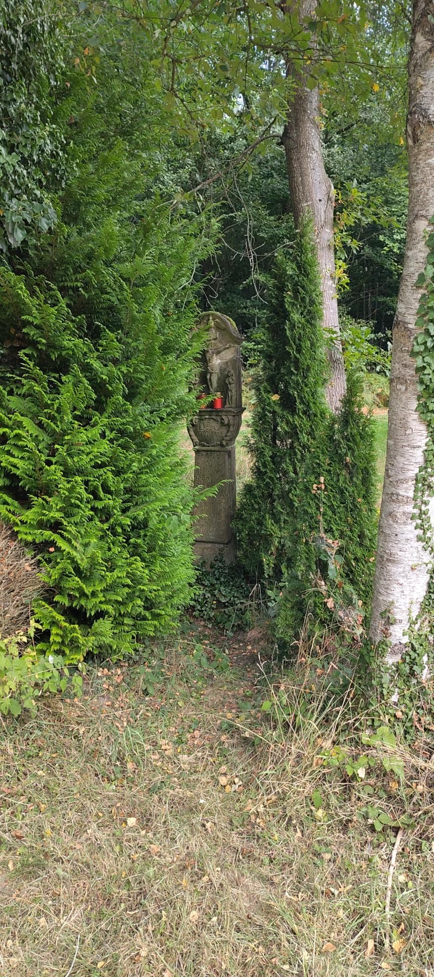
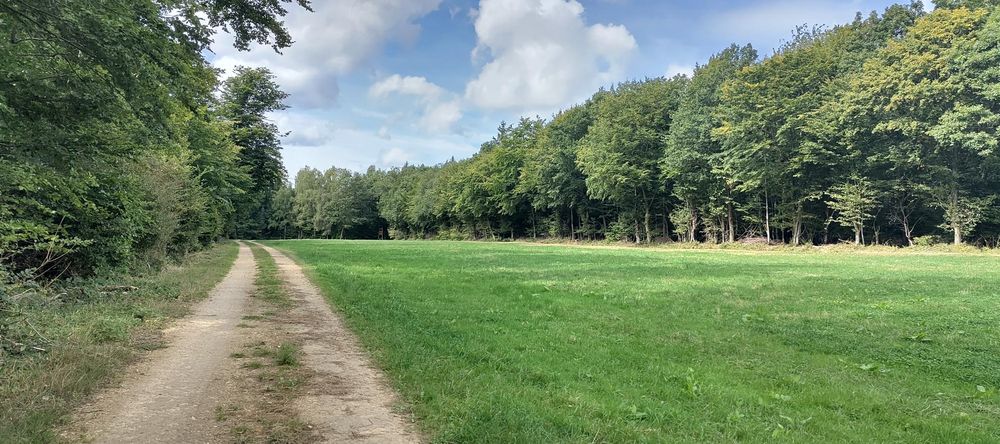
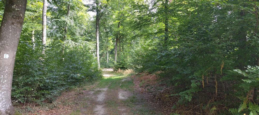
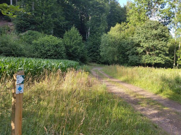
The route begins in Angelsberg and initially passes an old wayside cross before leading over open fields into the forest. On wide forest paths the route winds through dense greenery, bordered by striking rock formations, some lying free in the terrain. Afterwards, it goes across the street, past fields, back to the starting point.
Equipment
Sturdy footwear and something to drink.
Journey
Public transport:
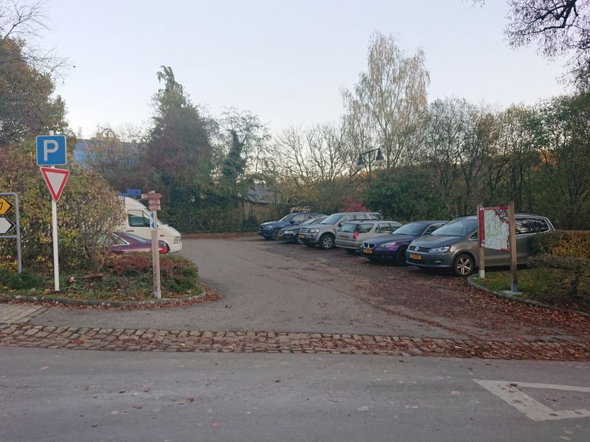
Parking:
Nearest bus stop:
Angelsberg, Paafendall
Parking:
Nearest parking: Duerf (500 m)


 This website uses technology and content from the Outdooractive Platform.