©Visit Luxembourg
Müllerthal Germany France

Nature trail "Joffer Margot"

Hunting Season 2025/26 — Check for hunts

Autumn is here, and that means hunting season has begun! From mid-October to January/February, hunters are active across the country. Stay safe by checking hunt dates in your area on our Map. 

Click on Map in the Header > Services > More > Hunting.

Starting point

Consdorf: Parking Konsdrëffermillen

Destination

Consdorf: Parking Konsdrëffermillen

Distance
6,88 km
Duration
2:00 h
Difficulty
easy
  • Condition
Highest point
364 Hm
Lowest point
256 Hm
Aggregated Ascent
130 Hm
Aggregated Descent
128 Hm
Thematic paths Visit Luxembourg

Description

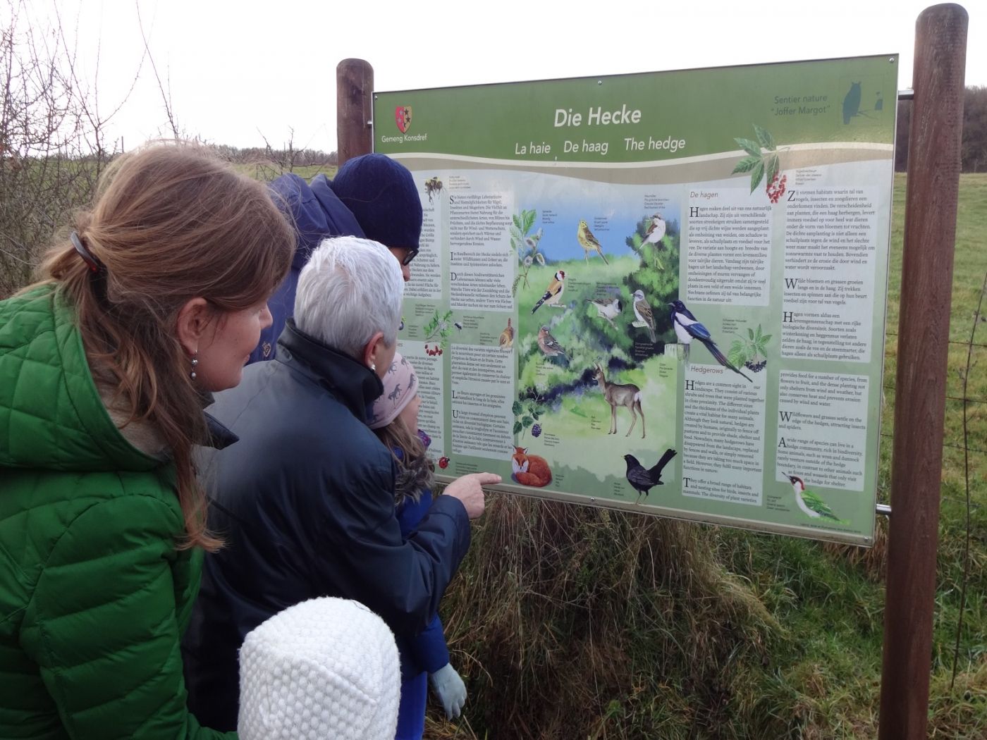
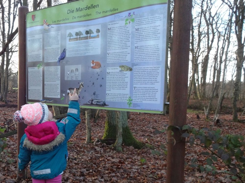
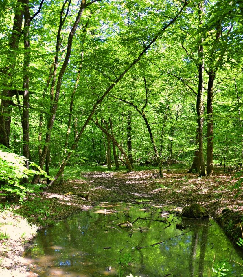
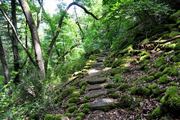
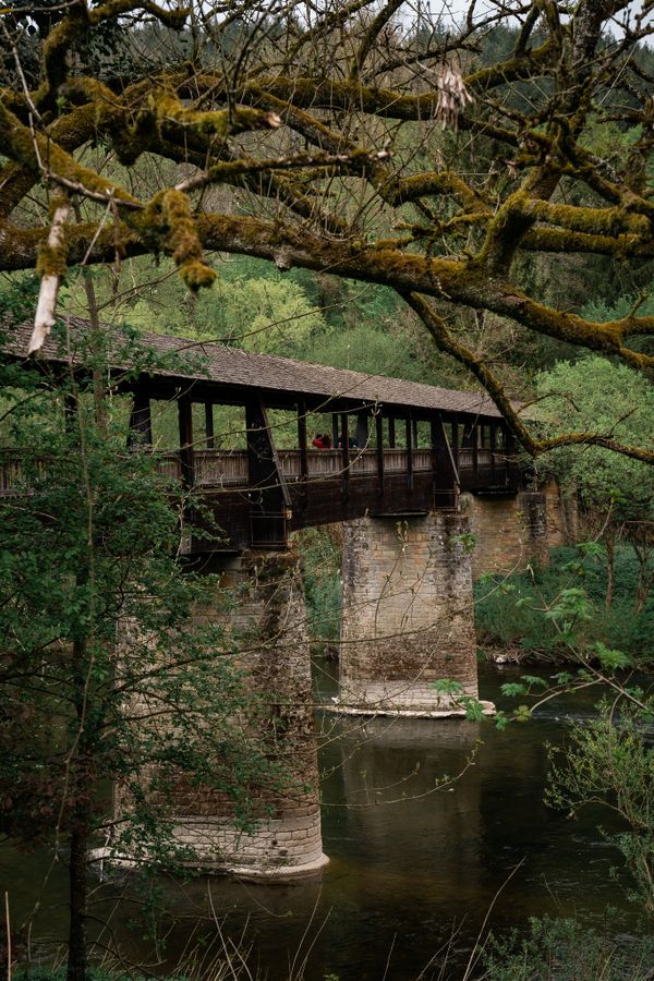
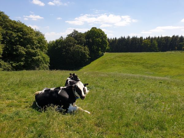
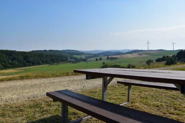
Explore the natural treasures of the Müllerthal region on the Joffer-Margot nature trail.

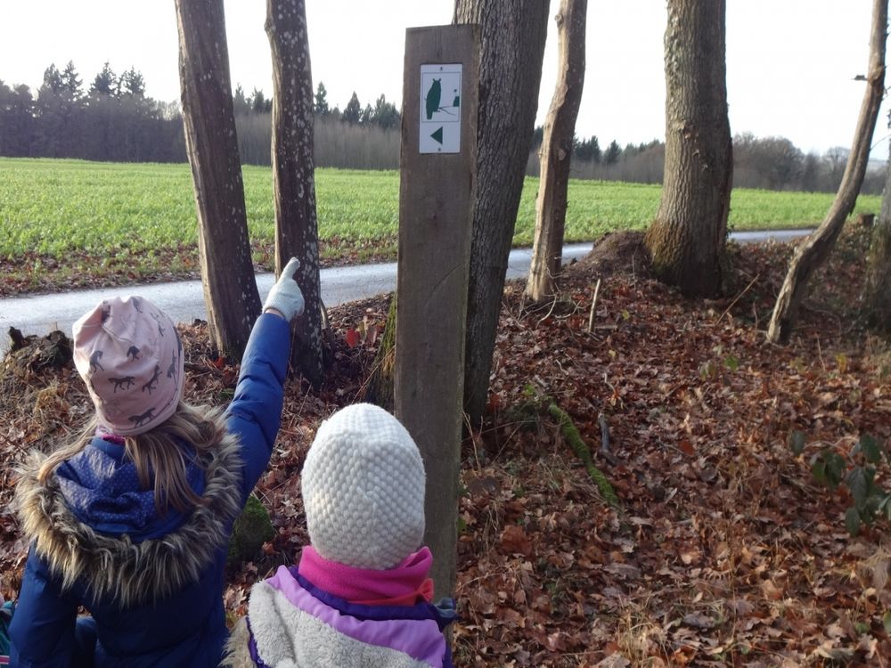
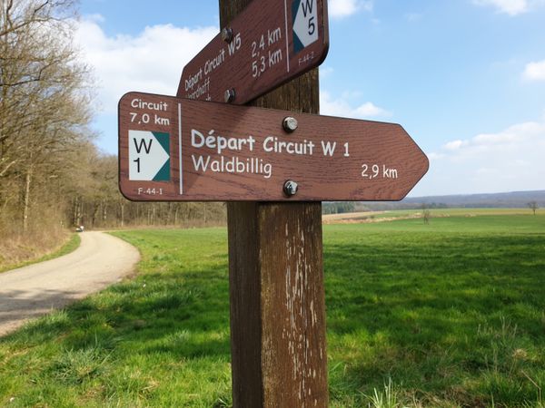
On this nature trail in Consdorf, the owl shows you the way through the region's natural heritage. The information boards at the various stations point to the rich biodiversity of the region. The route has different lengths. A flyer about the route is available at the Tourist Info.

Suggestions nearby

Nature trail "Joffer Margot"

  • ©SIT Consdorf
    Tourist Info Consdorf
    Tourist Info Consdorf
    Find out more
  • Mardell
    Mardell
    Find out more
  • Parking - Konsdrëfermillen
    Parking - Konsdrëfermillen
    Find out more
  • Brasserie op Buergkapp
    This restaurant is designed in a modern industrial style and is located on Camping La Pinède in Consdorf.
    Find out more

Similar hiking tours

©Visit Luxembourg
Circular routes
Local hiking trail - J5
Distance: 6,54 km
Duration: 1:44 h
Difficulty: easy
Find out more
©Unknown
Circular routes
Local hiking trail - E5
Distance: 6,33 km
Duration: 1:40 h
Difficulty: easy
Find out more
©L. Schömer, Visit Luxembourg
Circular routes
Local hiking trail - J16
Distance: 5,60 km
Duration: 1:25 h
Difficulty: easy
Find out more
©Visit Luxembourg
Circular routes
Local hiking trail - B15
Distance: 6,07 km
Duration: 1:33 h
Difficulty: easy
Find out more
©Visit Luxembourg
Circular routes
Local route - B5
Distance: 5,95 km
Duration: 1:40 h
Difficulty: easy
Find out more
©Visit Luxembourg
Circular routes
Local hiking trail - J25 - Barrier-free hiking trail
Distance: 1,55 km
Duration: 0:25 h
Difficulty: easy
Find out more
©Visit Luxembourg
Thematic paths
Ierelchen Echternach - Hiking trail - Accessible to almost all
Distance: 3,68 km
Duration: 0:58 h
Difficulty: easy
Find out more
©Visit Luxembourg
Circular routes
Local hiking route - M3
Distance: 4,02 km
Duration: 1:05 h
Difficulty: easy
Find out more
©Visit Luxembourg
Circular routes
Local hiking route - W1
Distance: 6,81 km
Duration: 1:47 h
Difficulty: easy
Find out more
outdooractive This website uses technology and content from the Outdooractive Platform.