©Visit Luxembourg
Müllerthal Germany France

Local hiking path - B11

Hunting Season 2025/26 — Check for hunts

Autumn is here, and that means hunting season has begun! From mid-October to January/February, hunters are active across the country. Stay safe by checking hunt dates in your area on our Map. 

Click on Map in the Header > Services > More > Hunting.

Starting point

Berdorf: An der Heeschbesch

Destination

Berdorf: An der Heeschbesch

Distance
2,85 km
Difficulty
medium
  • Condition
Highest point
340 Hm
Lowest point
299 Hm
Aggregated Ascent
51 Hm
Aggregated Descent
51 Hm
Circular routes Visit Luxembourg

Description

Kids & Family

Family-friendly circular hiking route with a detour to one of the geological highlights of the region: the Huel Lee.

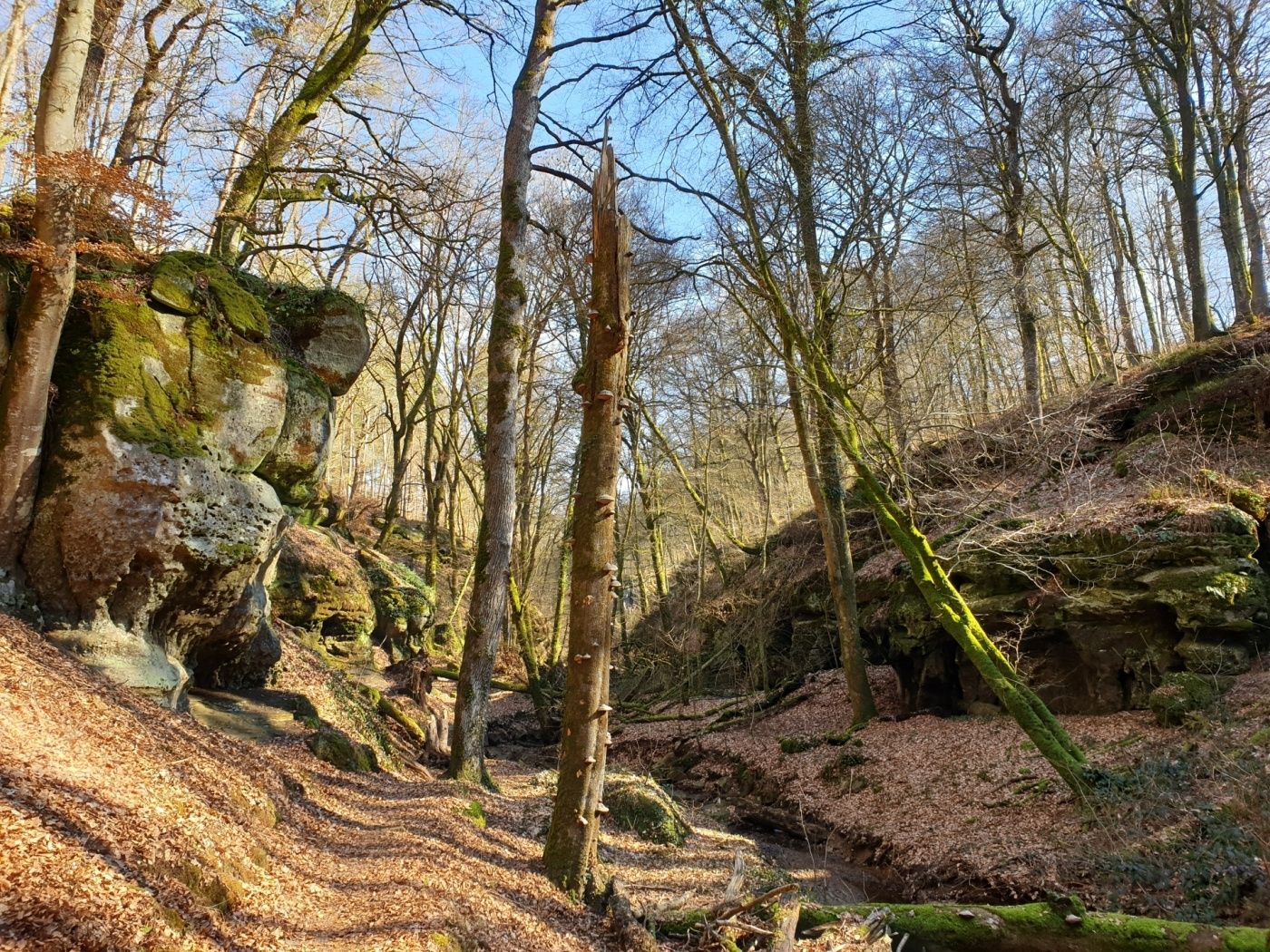
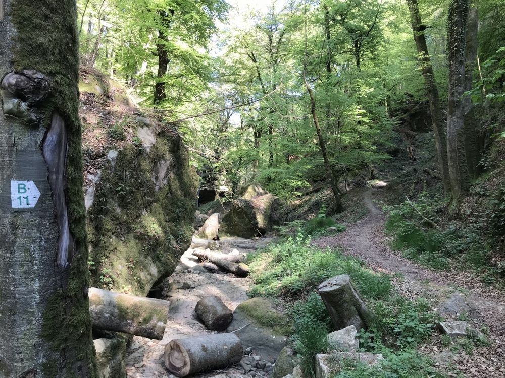
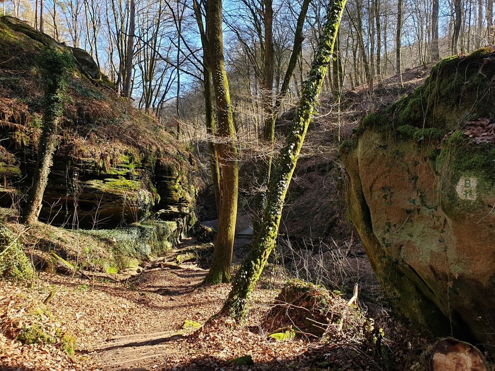
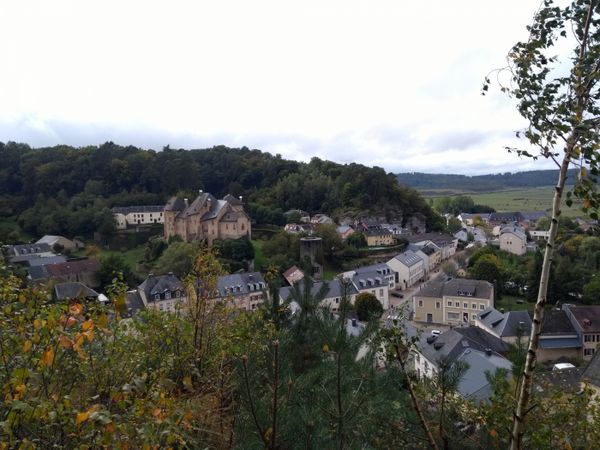
The hiking path B11 starts at the street “An der Heeschbesch” in Berdorf. It is very short and easy to walk, therefore well suited for families. However, the path is not suitable for strollers!

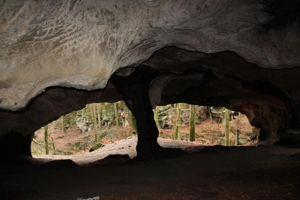
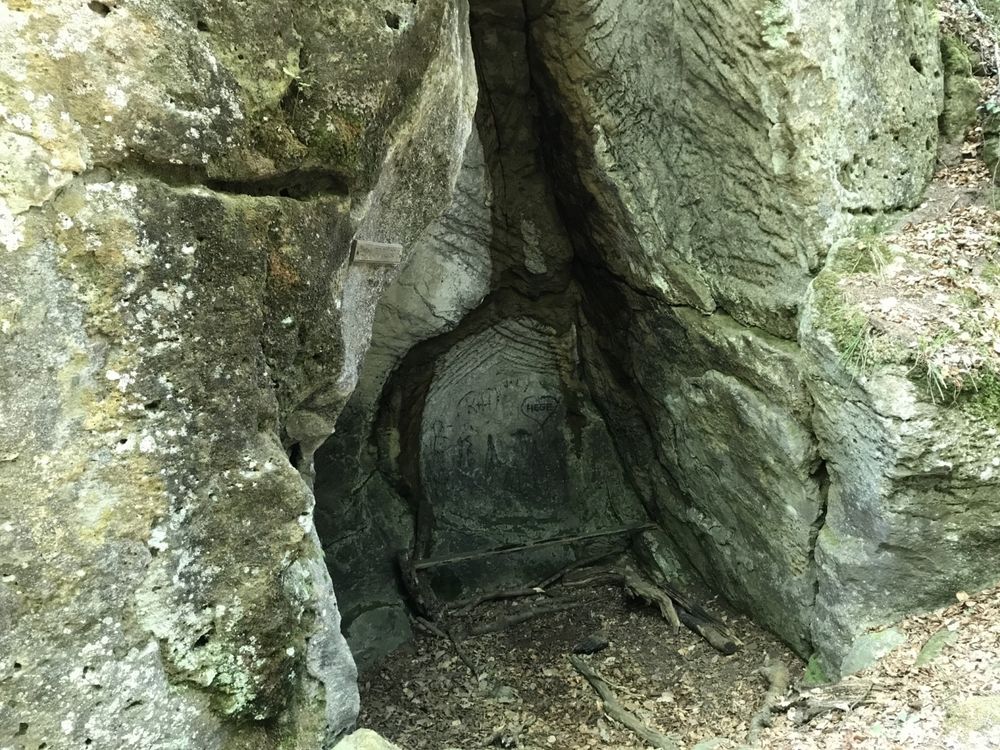
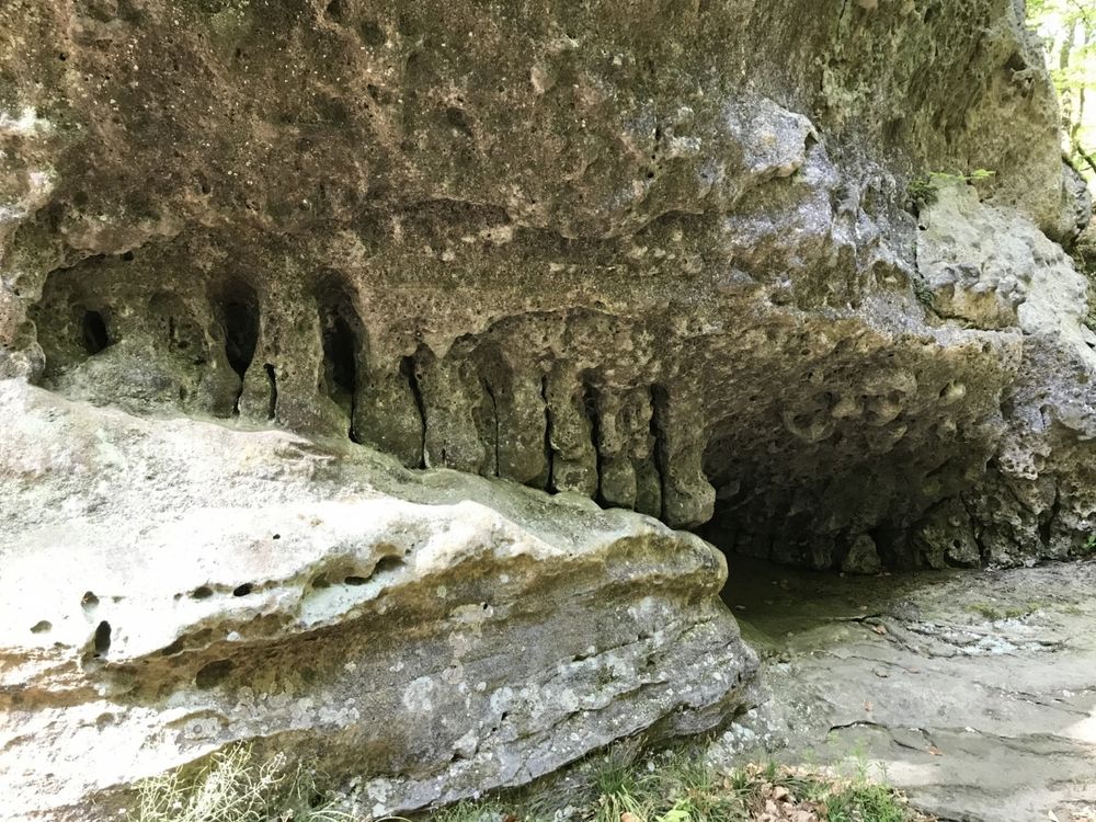
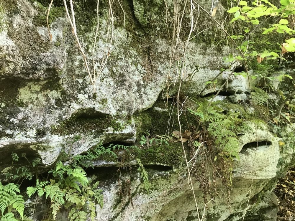
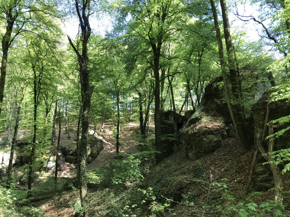
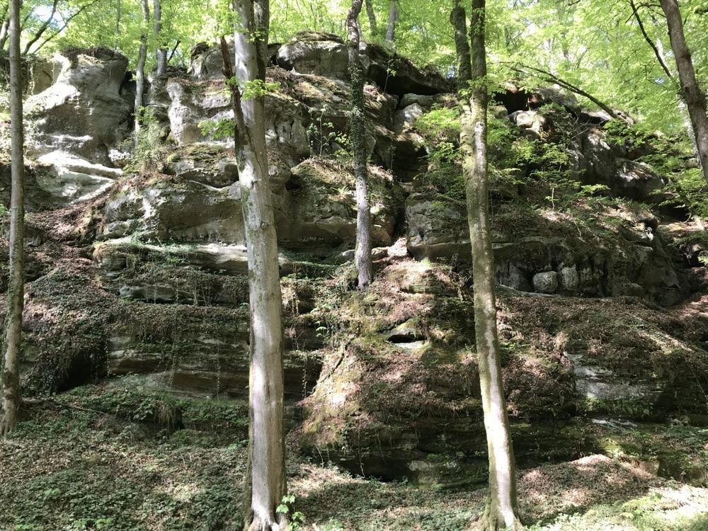
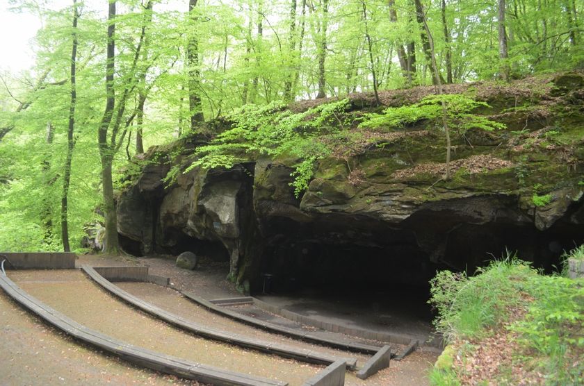
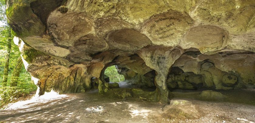
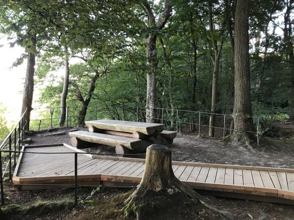
The trail initially follows the stream and goes through the rock formations of Berdorf. You can only reach the Huel Lee if you take a detour (about 150 m long) to the left after approximately 800 m. The Huel Lee is a human-shaped cave. In the past, millstones were hewn out of the rocks here.

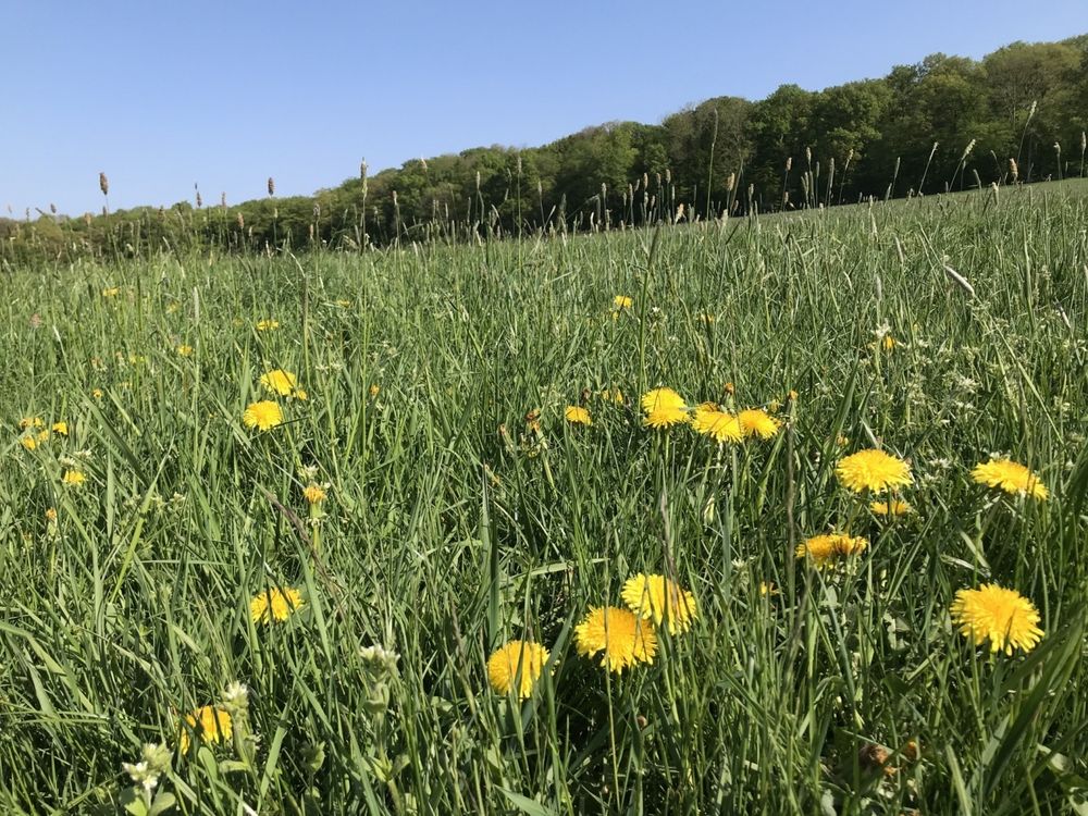
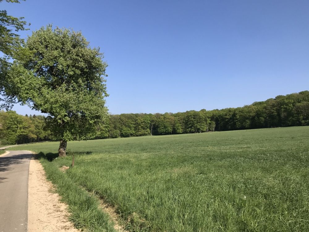
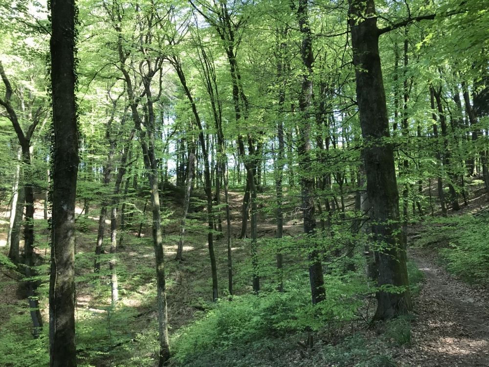
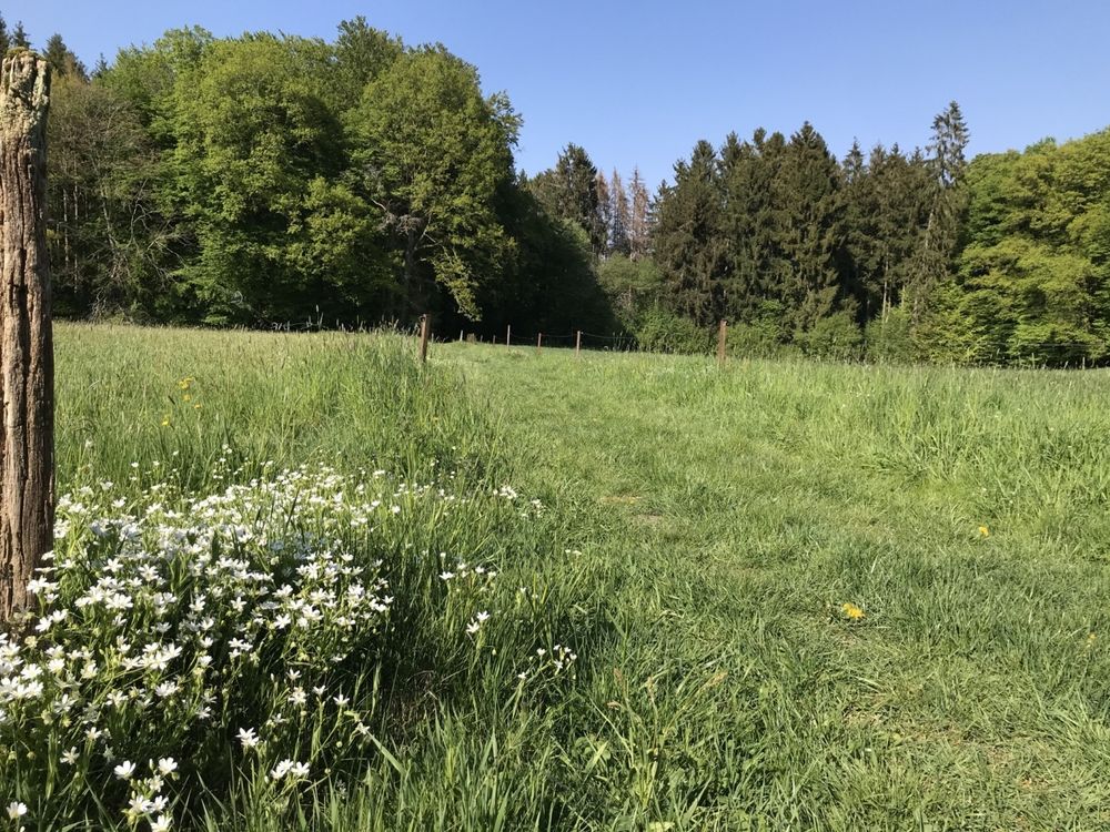
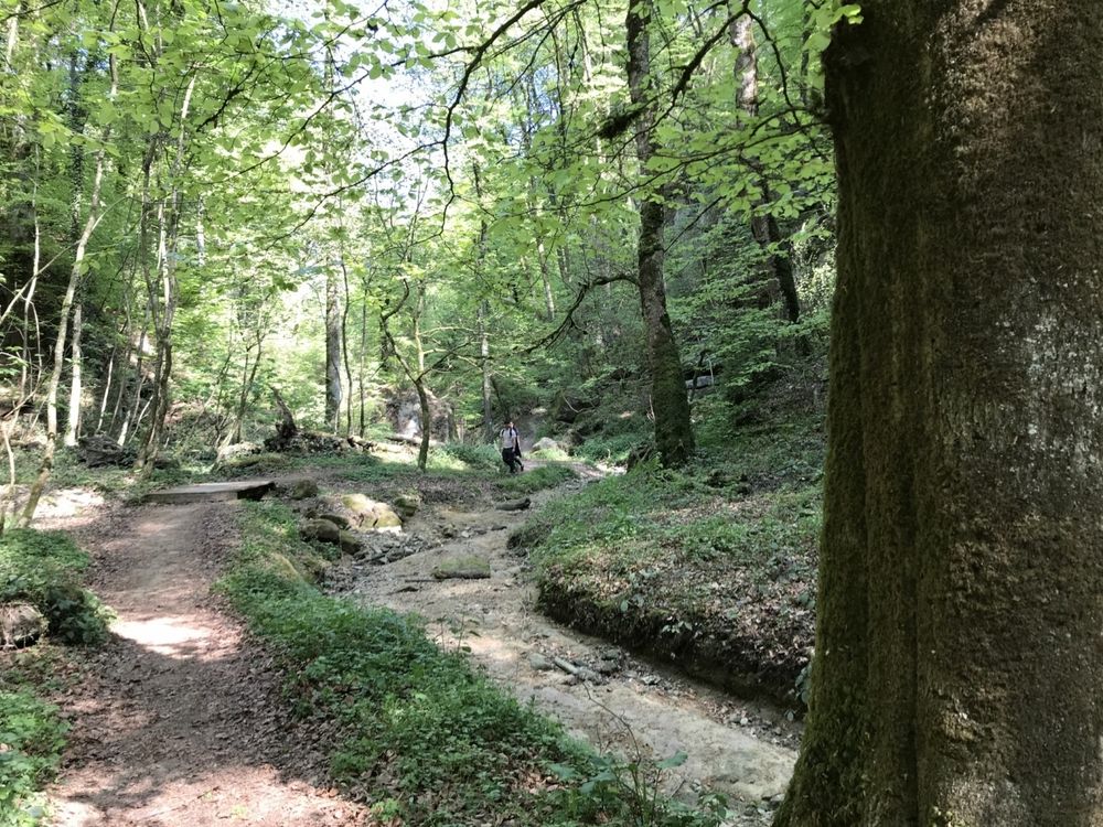
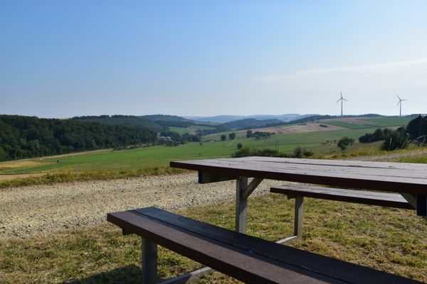
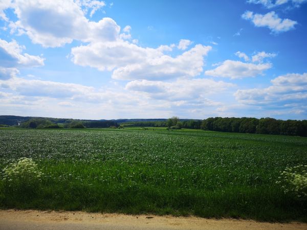
The rest of the path first continues through the forest and then returns on a paved country road back to the starting point.
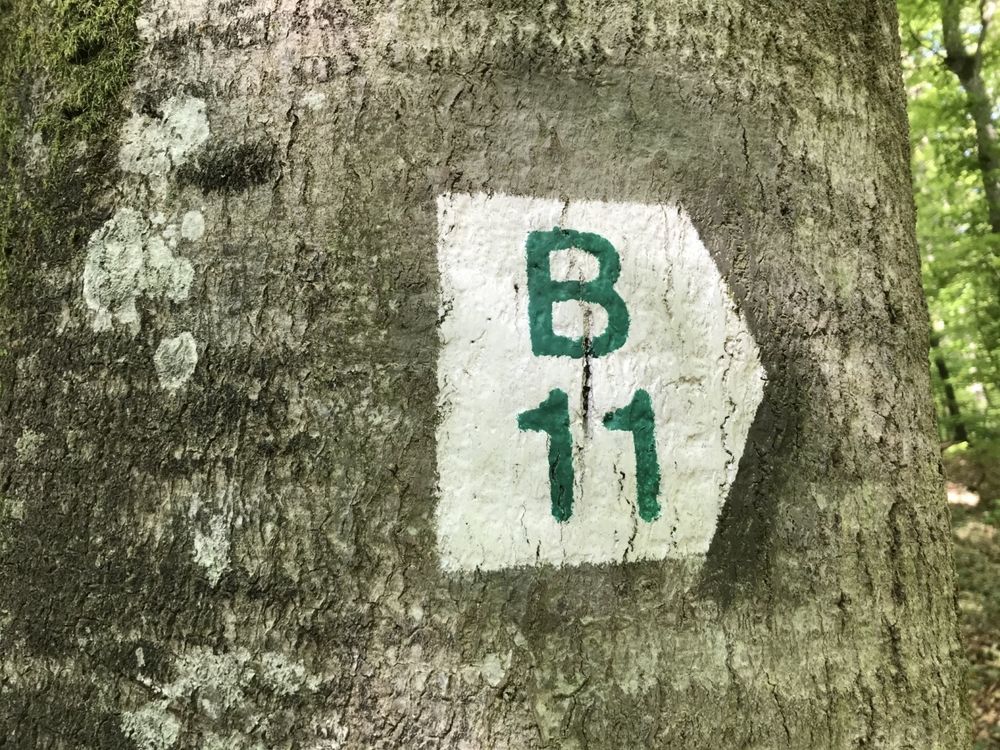
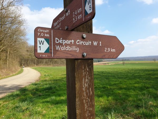


Suggestions nearby

Local hiking path - B11

  • Amphitheater Breechkaul
    Amphitheater where rocks had been hollowed out to gain millstones
    Find out more
  • ©C. Bosseler
    Rock formation "Huel Lee/Hohllay"
    Fascinating cave created by the extraction of millstones.
    Find out more

Similar hiking tours

©Visit Luxembourg
Thematic paths
Circular hiking trail through the Deiwelskopp nature reserve
Distance: 8,50 km
Duration: 2:27 h
Difficulty: medium
Find out more
©Visit Luxembourg
Circular routes
Local hiking route - F2
Distance: 8,21 km
Duration: 2:30 h
Difficulty: medium
Find out more
©Tom Barnich, Visit Berdorf
Circular routes
Local hiking trail - B17
Distance: 6,14 km
Duration: 1:40 h
Difficulty: medium
Find out more
©Visit Luxembourg
Thematic paths
Didactic nature path "Joffer Margot"
Distance: 6,88 km
Duration: 2:00 h
Difficulty: medium
Find out more
©Visit Luxembourg
Circular routes
Local hiking route - B12
Distance: 3,25 km
Duration: 0:55 h
Difficulty: medium
Find out more
©Visit Luxembourg
Circular routes
Local route - B10
Distance: 4,99 km
Duration: 1:20 h
Difficulty: medium
Find out more
©Visit Luxembourg
Thematic paths
Memorial Route
Distance: 20,46 km
Duration: 5:40 h
Difficulty: medium
Find out more
©L. Schömer, Visit Luxembourg
Circular routes
Auto-pédestre trail Bollendorf-Pont
Distance: 8,67 km
Duration: 2:40 h
Difficulty: medium
Find out more
©Visit Luxembourg
Circular routes
Auto-Pédestre hiking route Echternach Centre
Distance: 6,71 km
Duration: 2:00 h
Difficulty: medium
Find out more
outdooractive This website uses technology and content from the Outdooractive Platform.