Description
Off the beaten path from the well-known geological highlights of Berdorf, this route leads to equally spectacular rock formations and through varied landscapes.
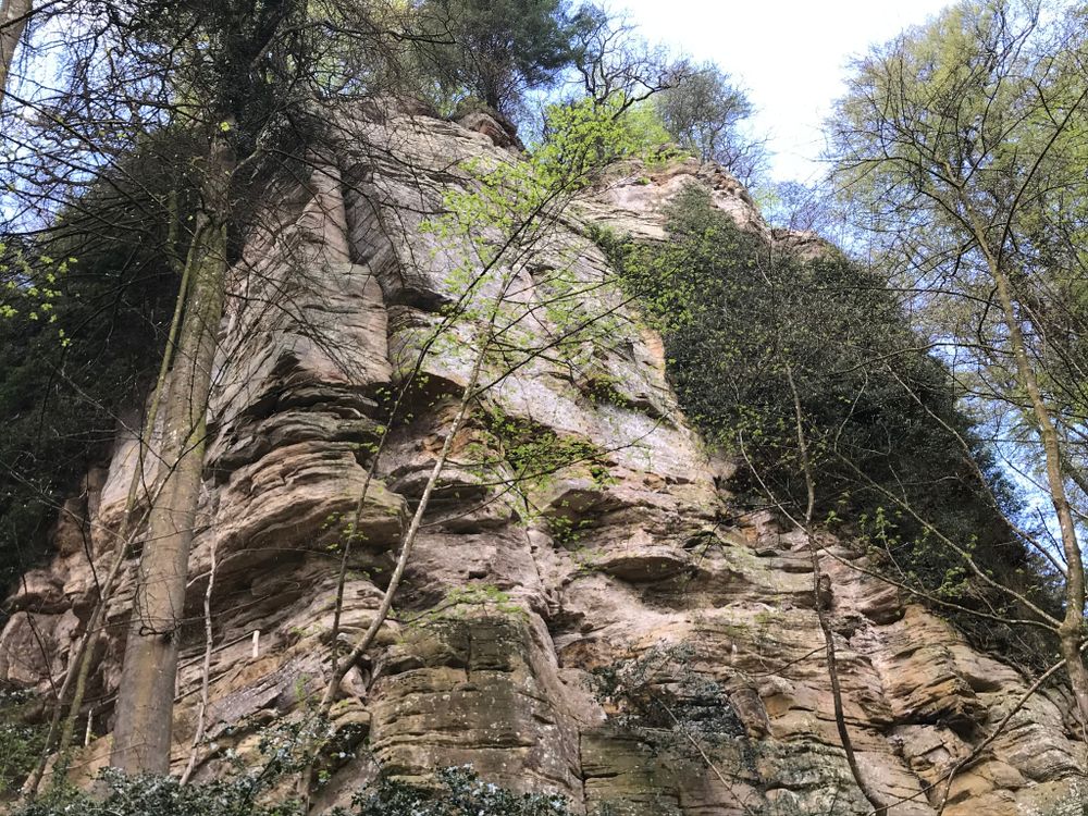
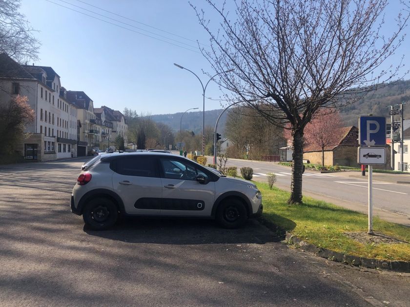
The starting point of the hike is located opposite the gas station in Bollendorf-Pont. First, you walk along the Sauer for a while until you cross the national road N10. Along fields, you go up the hill into the fascinating rock landscape of Berdorf.
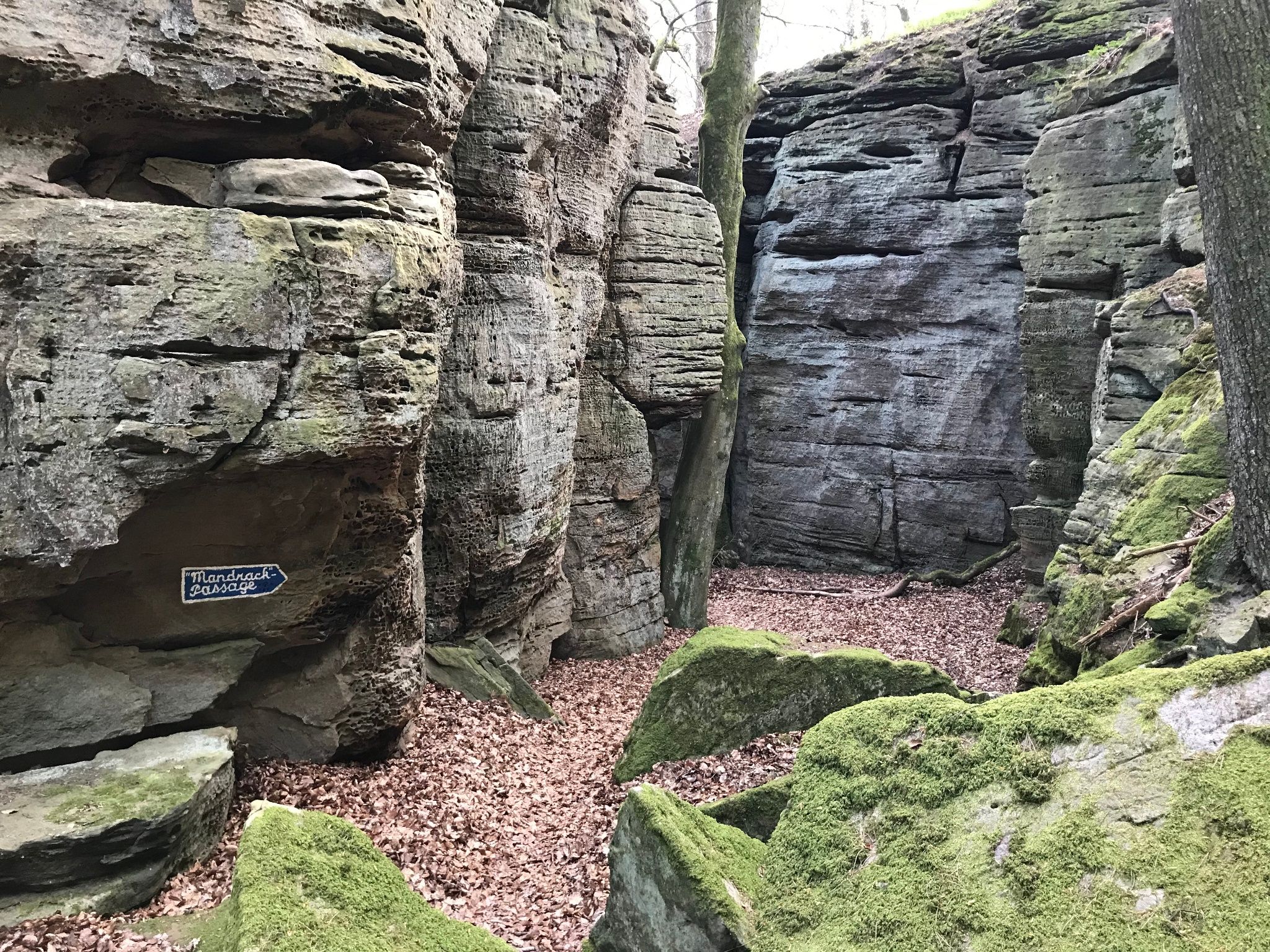
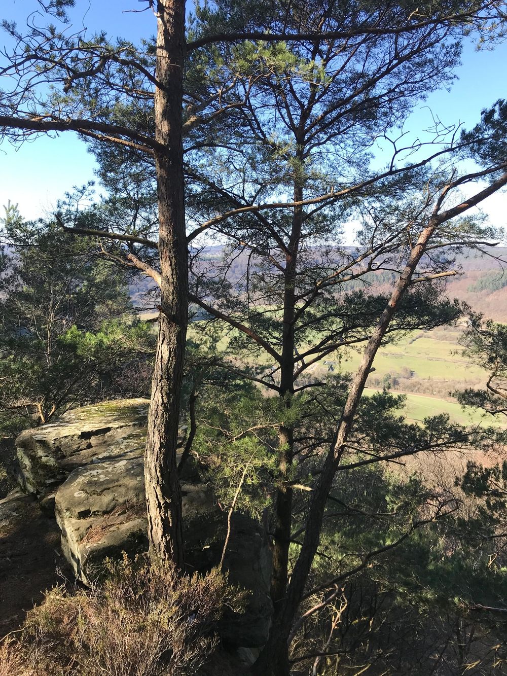
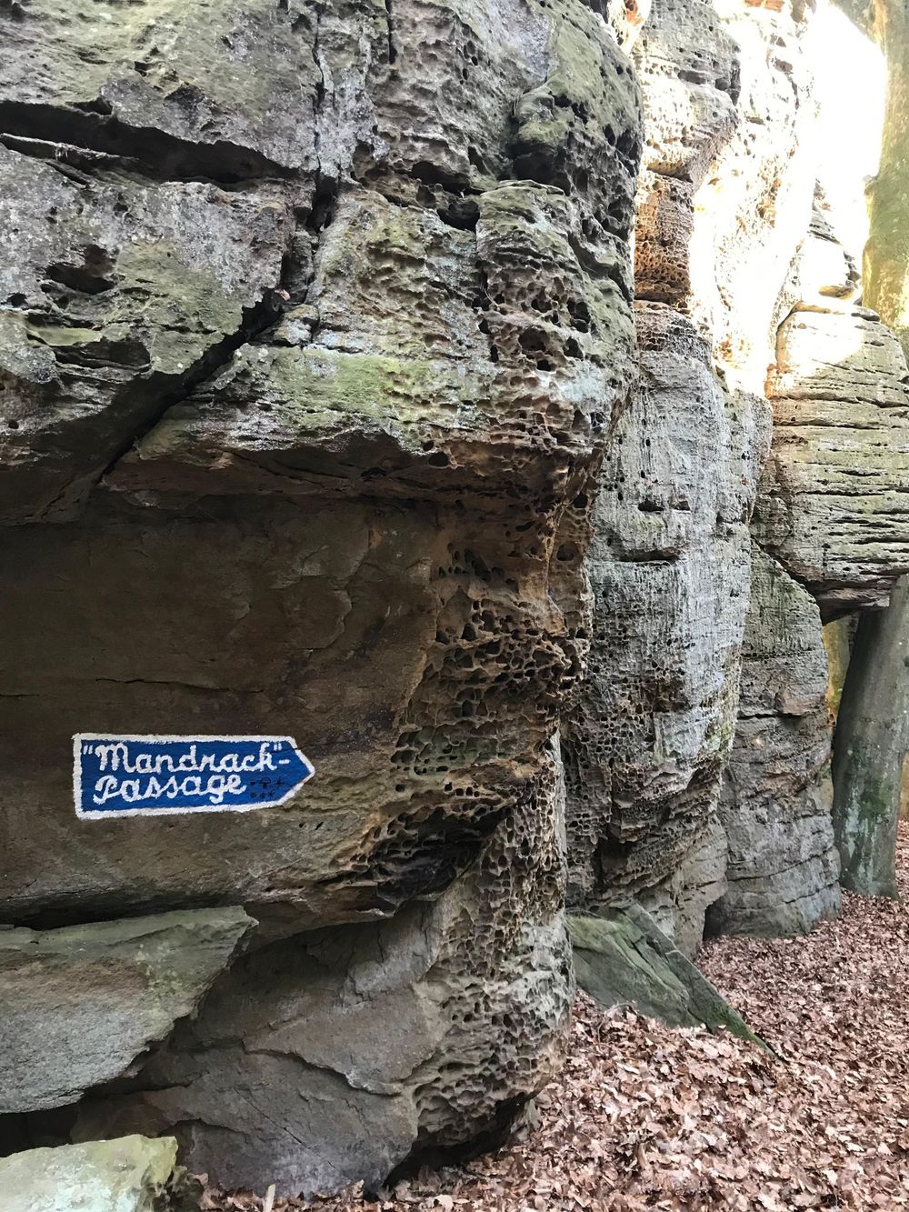
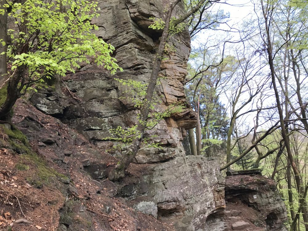
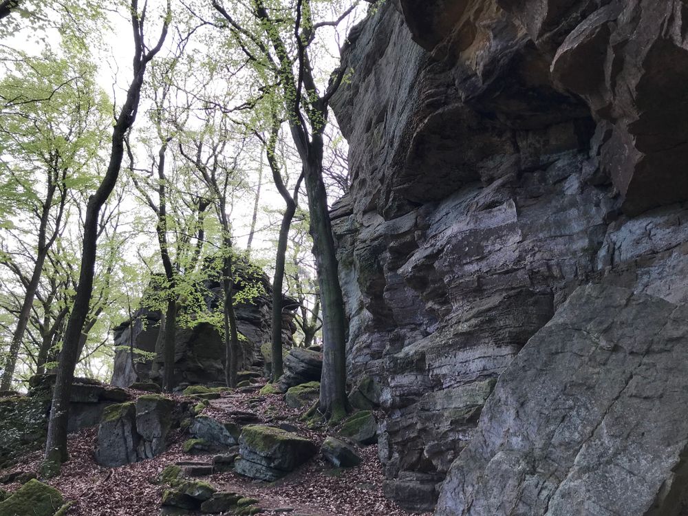
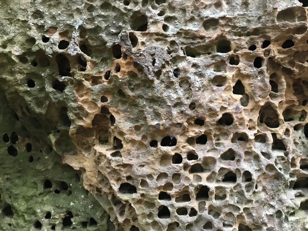
Surrounded by pretty pine forest, you enjoy a nice view of the Sauer valley at a viewpoint, which you reach via a ladder. The highlight of the route is certainly the Mandrack Passage, a rock formation and narrow crevice named after the German TV presenter Manuel Andrack. A little further is the distinctive Kalekapp rock, then follows the Rammelee.
After reaching the Fënnefter forest area, the descent towards the Sauer begins again.
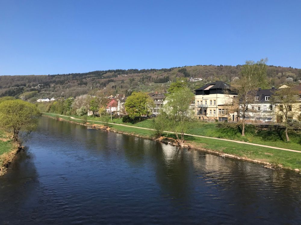
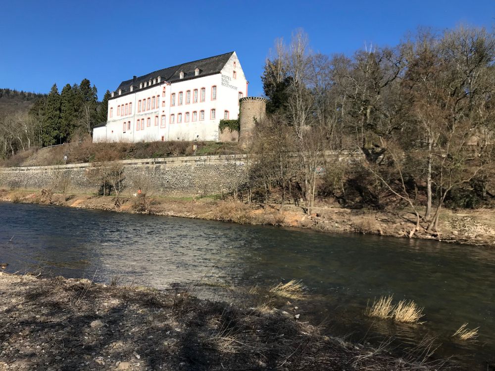
The final stretch runs along the Sauer with a beautiful view of Burg Bollendorf on the German side. The route is overall very varied and offers geological highlights.
Signposting

Directions
The starting point of the hike is located opposite the gas station in Bollendorf-Pont. First, you walk along the Sauer for a while until you cross the national road N10. Along fields, you go up the hill into the fascinating rock landscape of Berdorf.
Surrounded by pretty pine forest, you enjoy a nice view of the Sauer valley at a viewpoint, which you reach via a ladder. The highlight of the route is certainly the Mandrack Passage, a rock formation and narrow crevice named after the German TV presenter Manuel Andrack. A little further is the distinctive Kalekapp rock, then follows the Rammelee.
After reaching the Fënnefter forest area, the descent towards the Sauer begins again.
The final stretch runs along the Sauer with a beautiful view of Burg Bollendorf on the German side. The route is overall very varied and offers geological highlights.
Equipment
Sturdy footwear
Journey
Nearest bus stop: Bollendorf-Pont
Parking:
A parking lot is located directly at the starting point.


 This website uses technology and content from the Outdooractive Platform.