Hunting Season 2025/26 — Check for hunts

Autumn is here, and that means hunting season has begun! From mid-October to January/February, hunters are active across the country. Stay safe by checking hunt dates in your area on our Map. 

Click on Map in the Header > Services > More > Hunting.

Starting point

Beaufort: Route de Reisdorf or Bigelbach: Church

Destination

Beaufort: Route de Reisdorf or Bigelbach: Church

Distance
12,98 km
Duration
3:45 h
Difficulty
medium
  • Condition
Highest point
413 Hm
Lowest point
296 Hm
Aggregated Ascent
268 Hm
Aggregated Descent
268 Hm
Mullerthal Trail - Leading Quality Trails - Best of Europe Visit Luxembourg

Description

Scenic Dog-friendly

The Mullerthal Trail is complemented by four ExtraTours, which are also very attractive hiking routes. They are suitable for getting to know the region or as additional routes if the other three routes have already been explored.

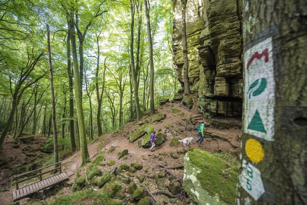
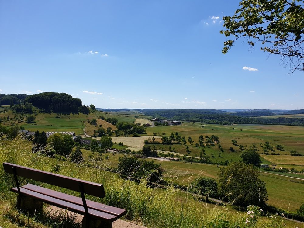
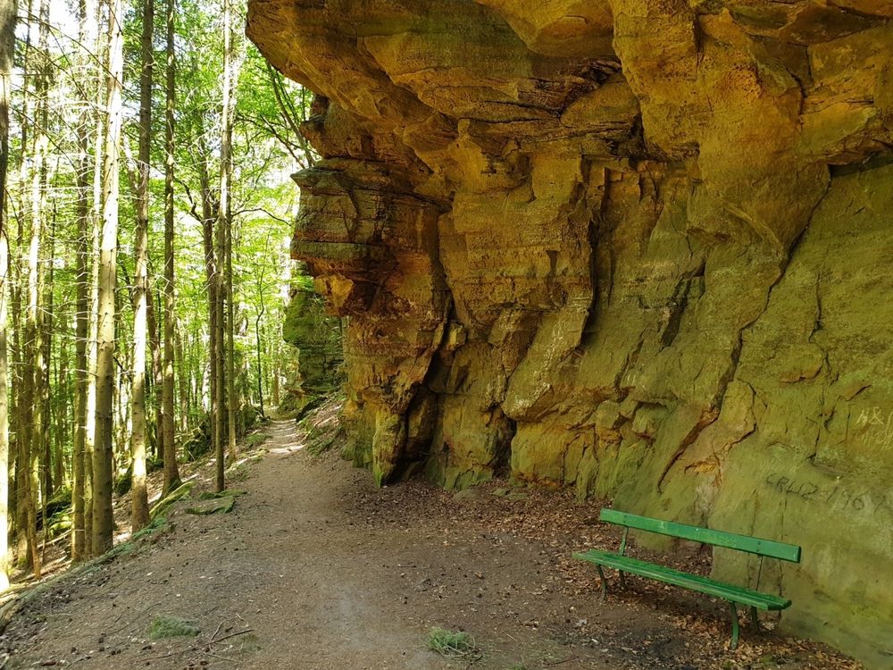
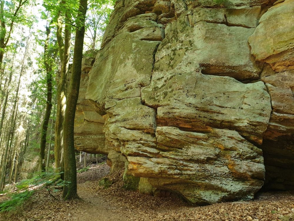
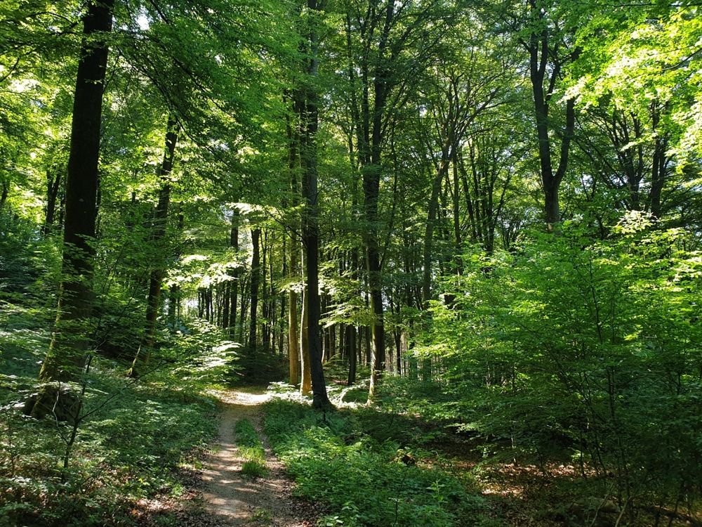
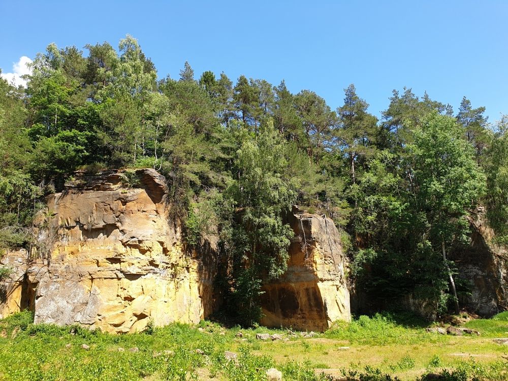
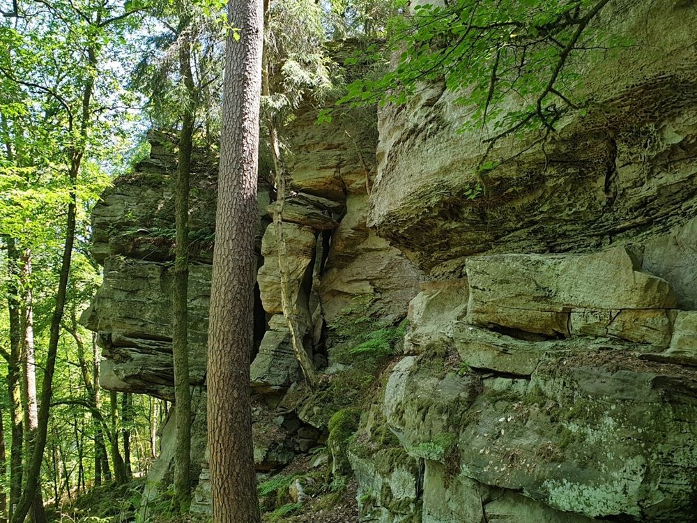
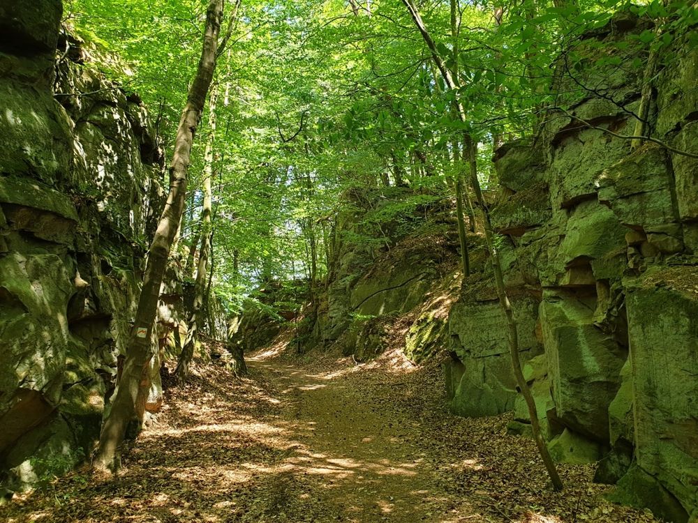
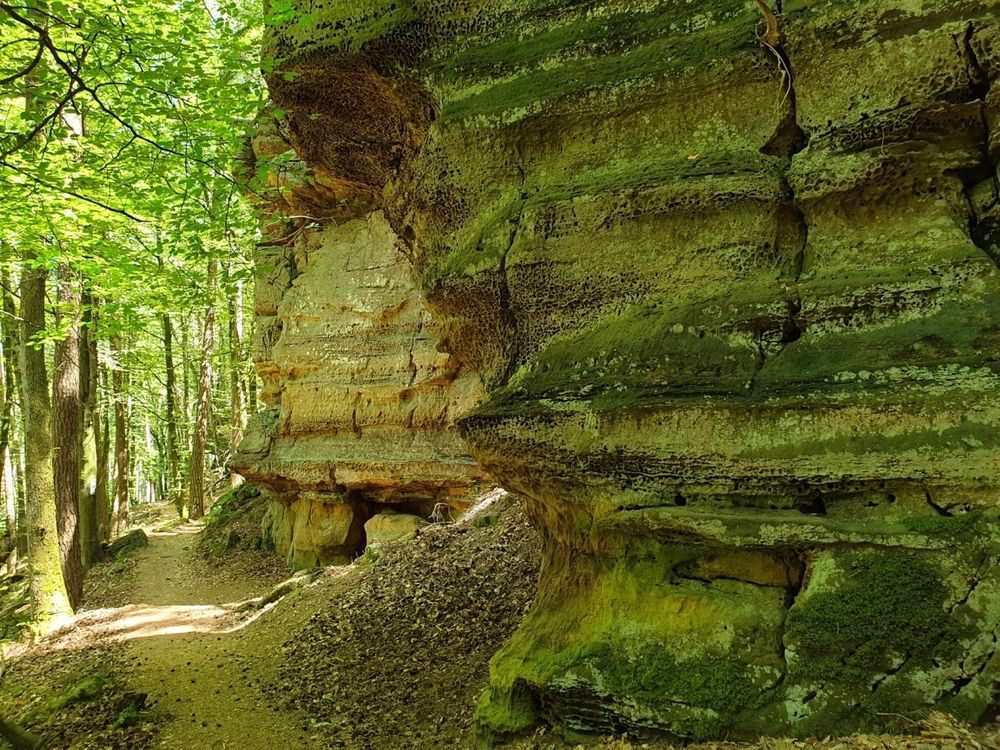
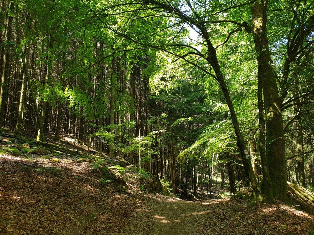
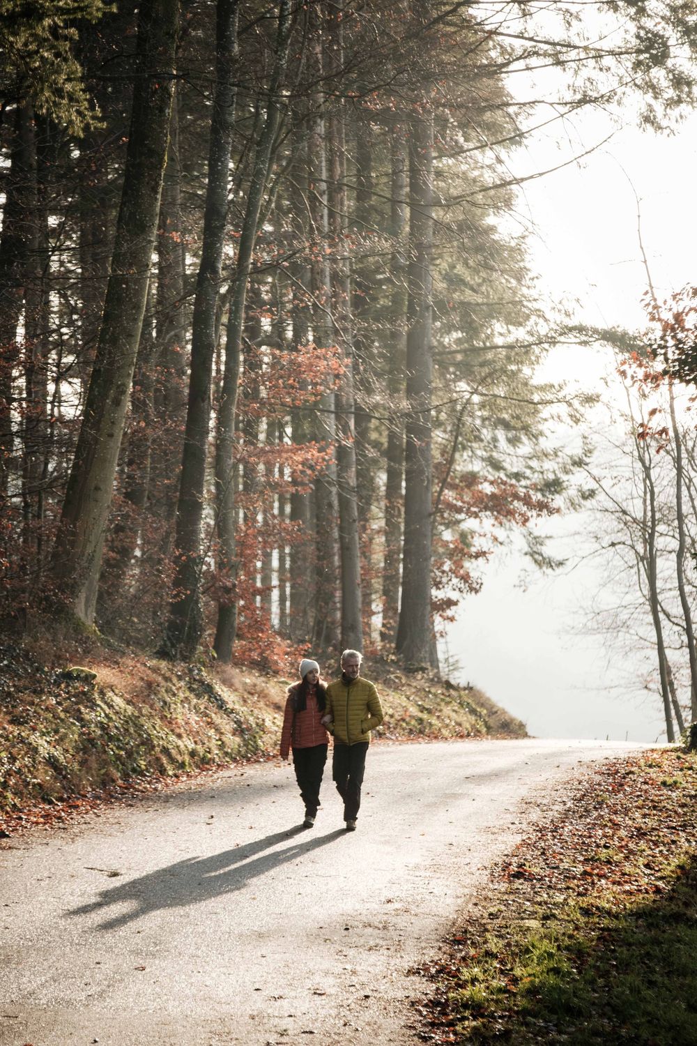
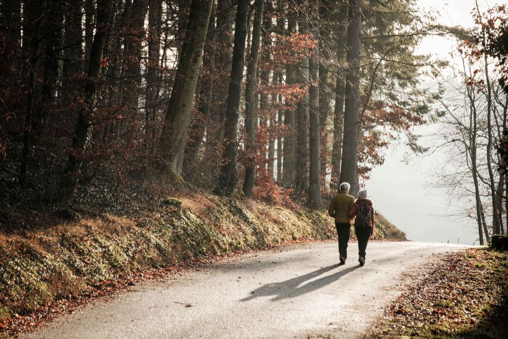
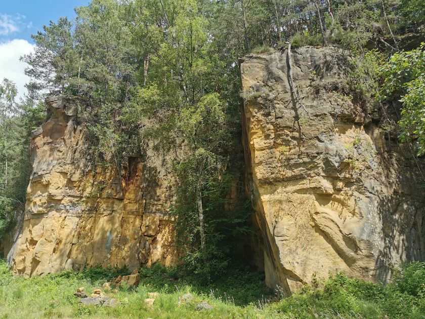
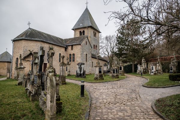
The ExtraTour B is located in the area between Beaufort and the Sauer valley. Beaufort, with its medieval castle ruins, is an important excursion and travel destination in the region. The path starts in the center of the village towards Dillingen and leads through an old quarry that has recently been made accessible again. On the hill above the Sauer, the path then leads to Bigelbach. On this section, hikers can enjoy beautiful panoramic views of the valleys of Our and Sauer. From Bigelbach, it goes through a forest area up to the Beaufort plateau; near Berens, the path reconnects with the Mullerthal Trail.
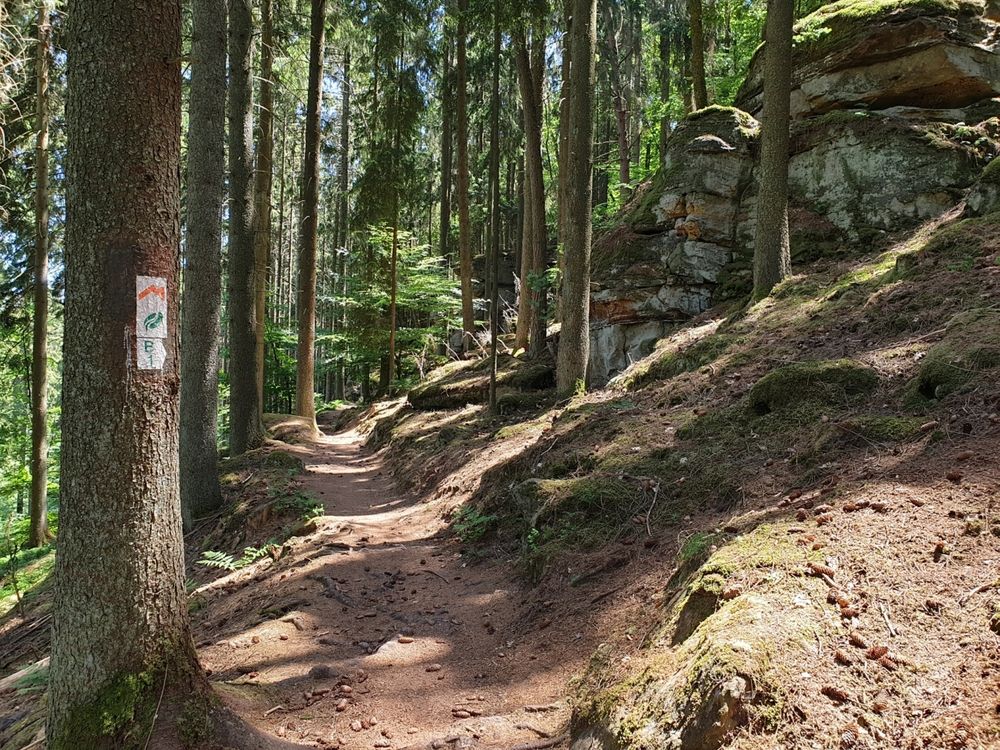
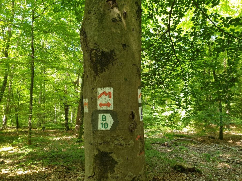
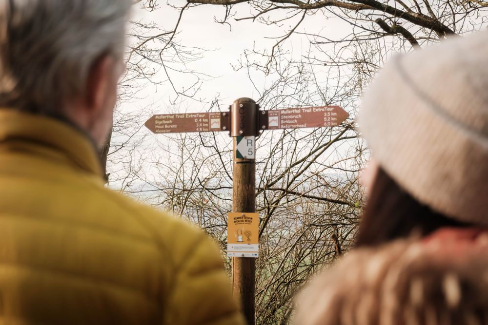
Suggestions nearby

Mullerthal Trail ExtraTour B

  • ©ORT MPSL
    Quarry "Steekaul Beaufort"
    Quarry "Steekaul Beaufort"
    Find out more

Similar hiking tours

©Visit Luxembourg
Thematic paths
Circular hiking trail through the Deiwelskopp nature reserve
Distance: 8,50 km
Duration: 2:27 h
Difficulty: medium
Find out more
©Visit Luxembourg
Circular routes
Local hiking route - F2
Distance: 8,21 km
Duration: 2:30 h
Difficulty: medium
Find out more
©Tom Barnich, Visit Berdorf
Circular routes
Local hiking trail - B17
Distance: 6,14 km
Duration: 1:40 h
Difficulty: medium
Find out more
©Visit Luxembourg
Thematic paths
Didactic nature path "Joffer Margot"
Distance: 6,88 km
Duration: 2:00 h
Difficulty: medium
Find out more
©Visit Luxembourg
Circular routes
Local hiking route - B12
Distance: 3,25 km
Duration: 0:55 h
Difficulty: medium
Find out more
©Visit Luxembourg
Circular routes
Local route - B10
Distance: 4,99 km
Duration: 1:20 h
Difficulty: medium
Find out more
©Visit Luxembourg
Thematic paths
Memorial Route
Distance: 20,46 km
Duration: 5:40 h
Difficulty: medium
Find out more
©L. Schömer, Visit Luxembourg
Circular routes
Auto-pédestre trail Bollendorf-Pont
Distance: 8,67 km
Duration: 2:40 h
Difficulty: medium
Find out more
©Visit Luxembourg
Circular routes
Auto-Pédestre hiking route Echternach Centre
Distance: 6,71 km
Duration: 2:00 h
Difficulty: medium
Find out more
outdooractive This website uses technology and content from the Outdooractive Platform.