© Visit Luxembourg
Müllerthal Germany France

Local hiking trail - B12

Starting point
Beaufort: Cité Birkbour/Route de Reisdorf
Destination
Beaufort: Cité Birkbour/Route de Reisdorf
Distance
3,25 km
Difficulty
medium
  • Condition
Highest point
383 Hm
Lowest point
316 Hm
Aggregated Ascent
69 Hm
Aggregated Descent
69 Hm
Circular routes Visit Luxembourg

Description

Kids & Family Scenic Dog-friendly
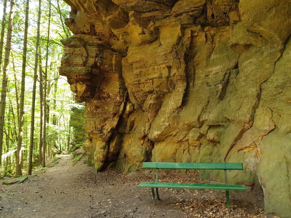
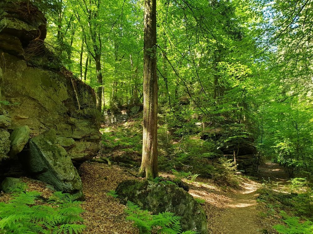
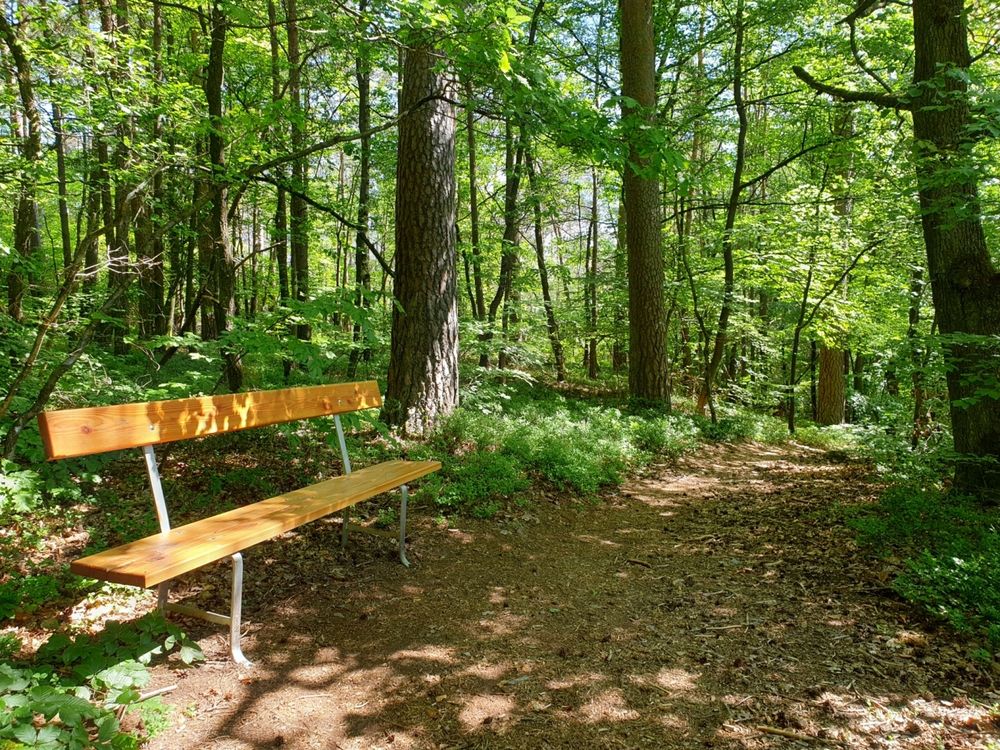
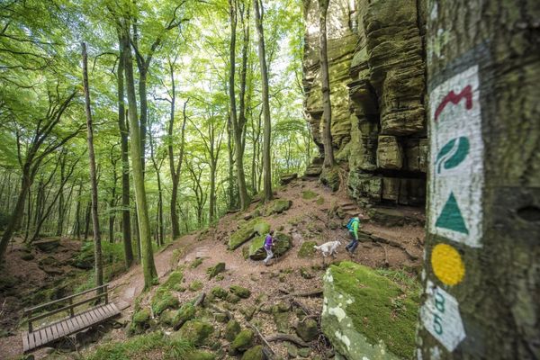
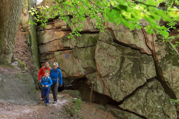
This short and easy hike is perfect for relaxing in nature.
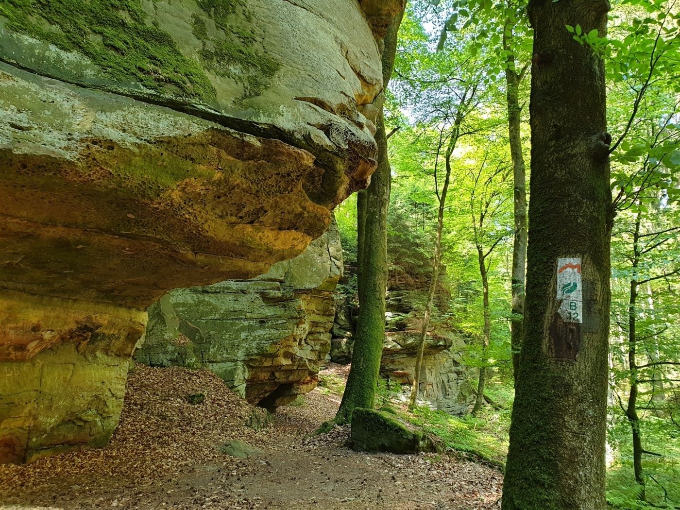
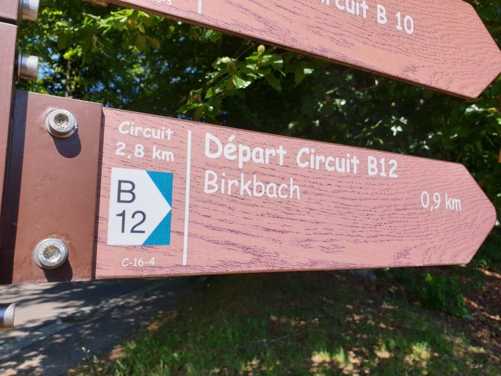
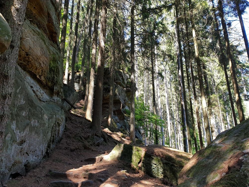
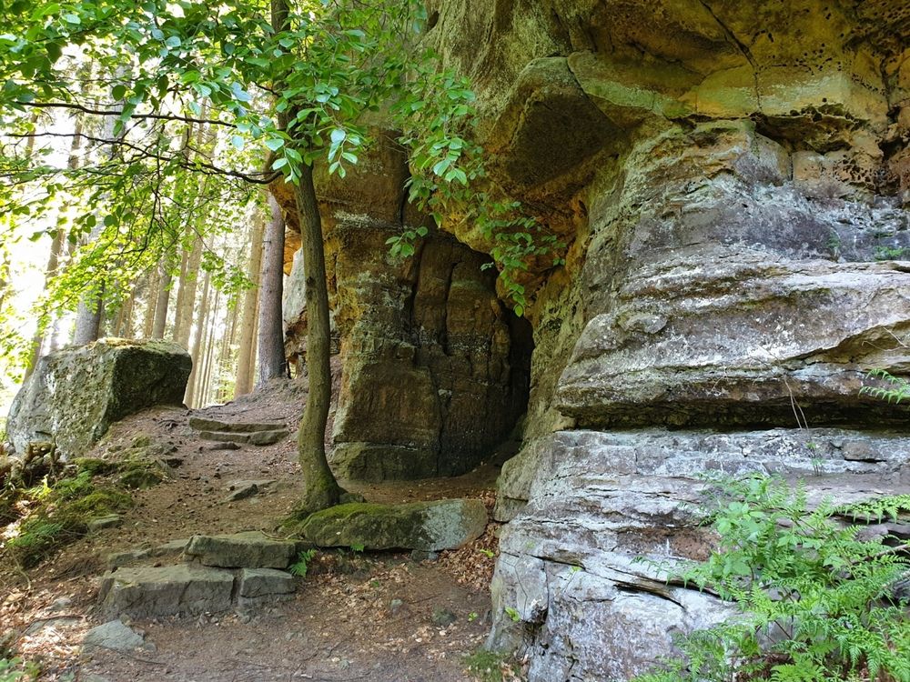
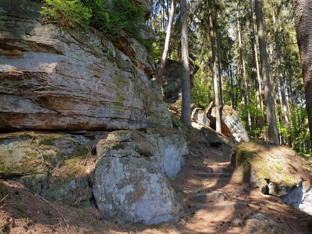
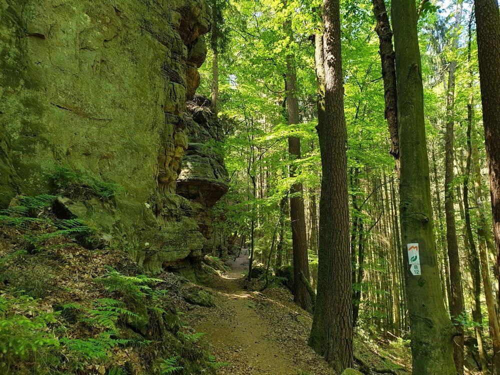
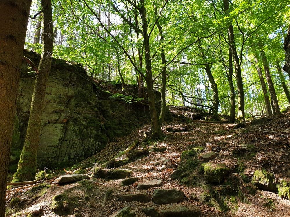
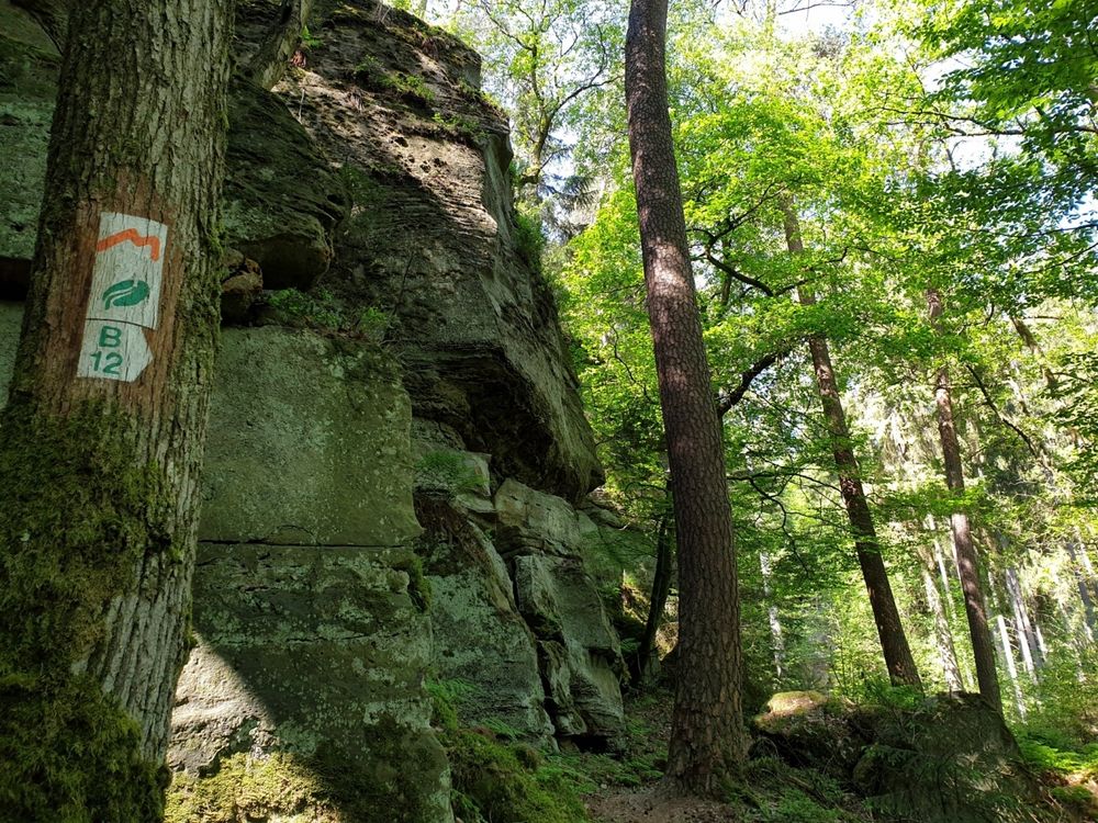
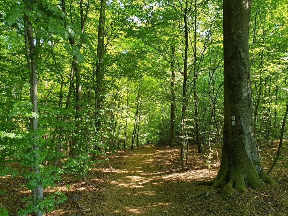
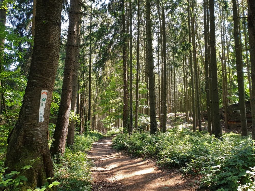
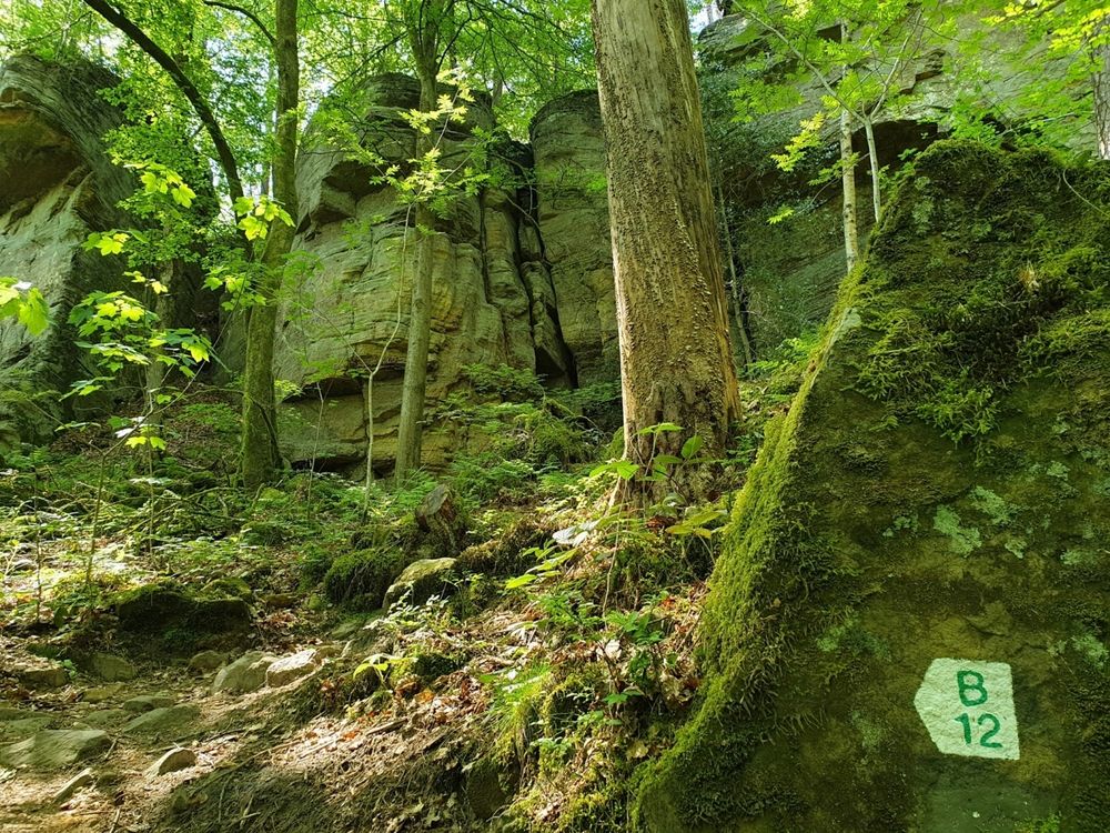
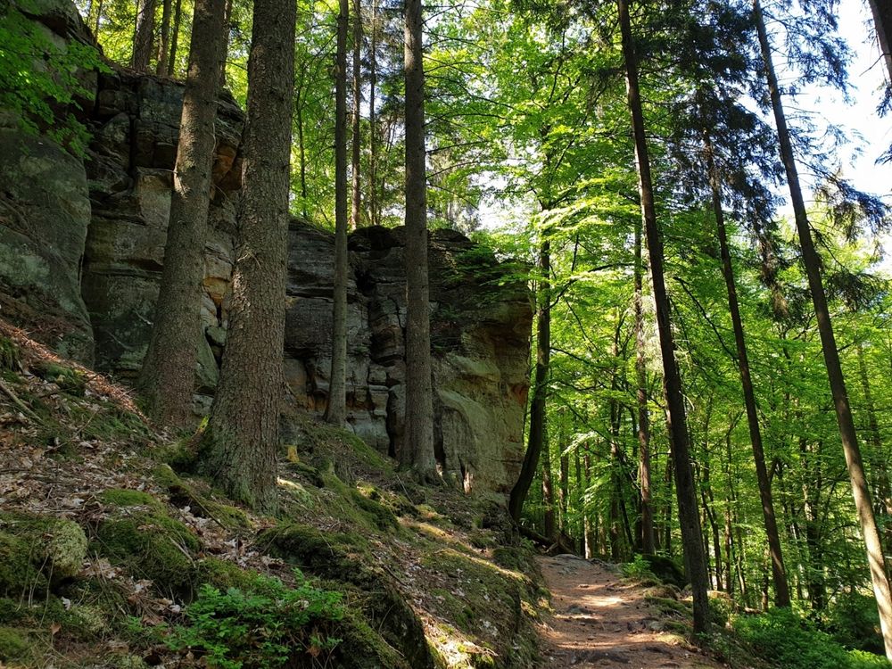
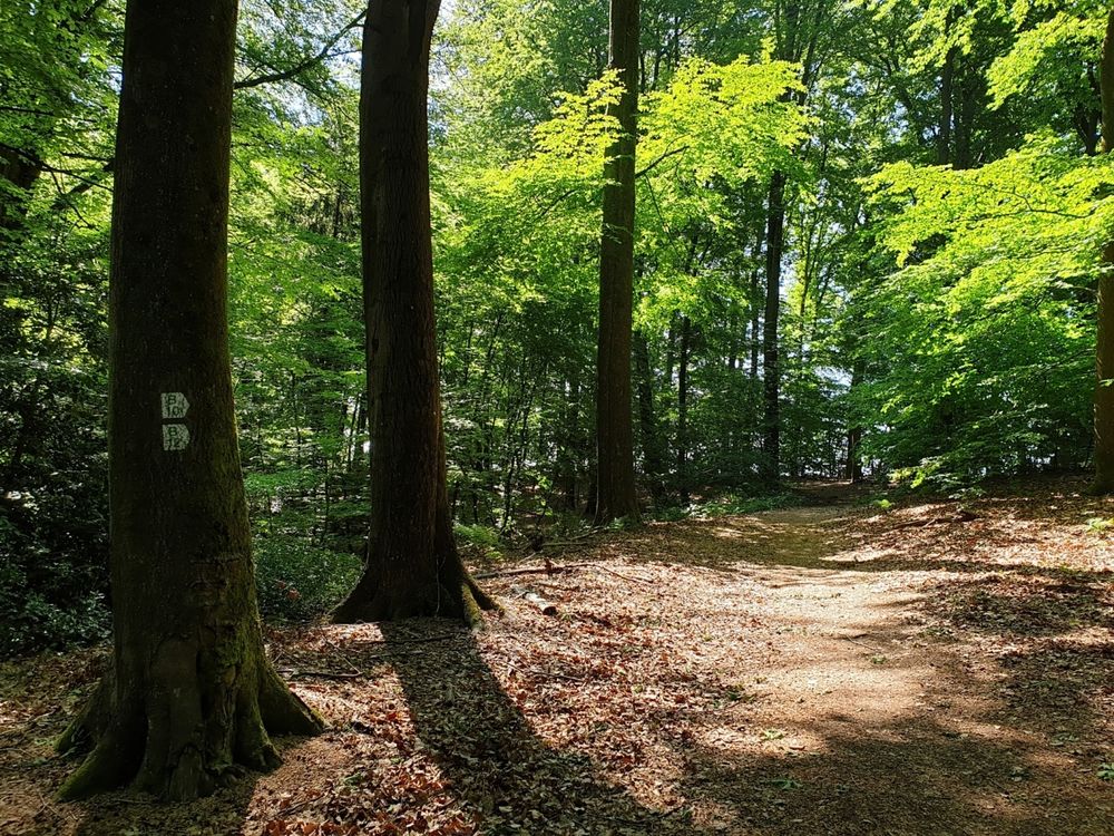
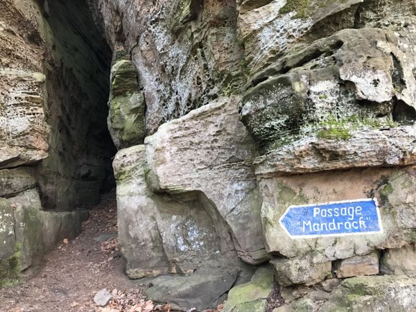
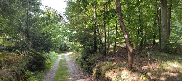
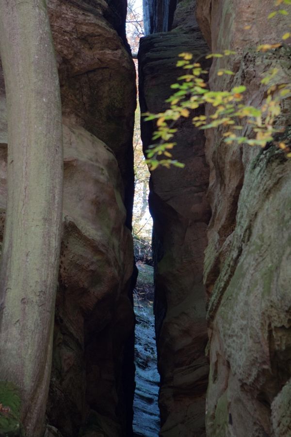
This short hike starts on Route de Reisdorf. A narrow path leads through the forest along the rock formations of Birkbaach. After about one kilometer, Herkuleskapp can be seen, a rock with the profile of a face. The way back leads through a slightly higher wooded area.


Suggestions nearby

Local hiking trail - B12

  • © Restaurant Hotel Meyer
    Restaurant Meyer
    Restaurant Meyer
    Find out more
  • © HRS.de
    Hotel Meyer

Similar hiking tours

© Tom Barnich, Visit Berdorf
Circular routes
Local hiking trail - B17
Distance: 6,14 km
Duration: 1:40 h
Difficulty: medium
Find out more
© Visit Luxembourg
Circular routes
Local hiking trail - B11
Distance: 2,85 km
Duration: 0:46 h
Difficulty: medium
Find out more
© Visit Luxembourg
Thematic paths
Circular hiking trail through the Deiwelskopp nature reserve
Distance: 8,50 km
Duration: 2:27 h
Difficulty: medium
Find out more
© Visit Luxembourg
Thematic paths
Didactic nature path "Joffer Margot"
Distance: 6,88 km
Duration: 2:00 h
Difficulty: medium
Find out more
© Visit Luxembourg
Circular routes
Local hiking trail - B13
Distance: 2,78 km
Duration: 1:00 h
Difficulty: medium
Find out more
© Visit Luxembourg
Circular routes
Local hiking trail - L2
Distance: 8,54 km
Duration: 2:30 h
Difficulty: medium
Find out more
© Visit Luxembourg
Circular routes
Local hiking trail - B10
Distance: 4,99 km
Duration: 1:20 h
Difficulty: medium
Find out more
© L. Schömer, Visit Luxembourg
Circular routes
Auto-pédestre trail Bollendorf-Pont
Distance: 8,36 km
Duration: 2:32 h
Difficulty: medium
Find out more
© Visit Luxembourg
Circular routes
Local hiking trail - R9
Distance: 8,91 km
Duration: 2:20 h
Difficulty: medium
Find out more