Rondwandelroutes Visit Luxembourg
Beschrijving
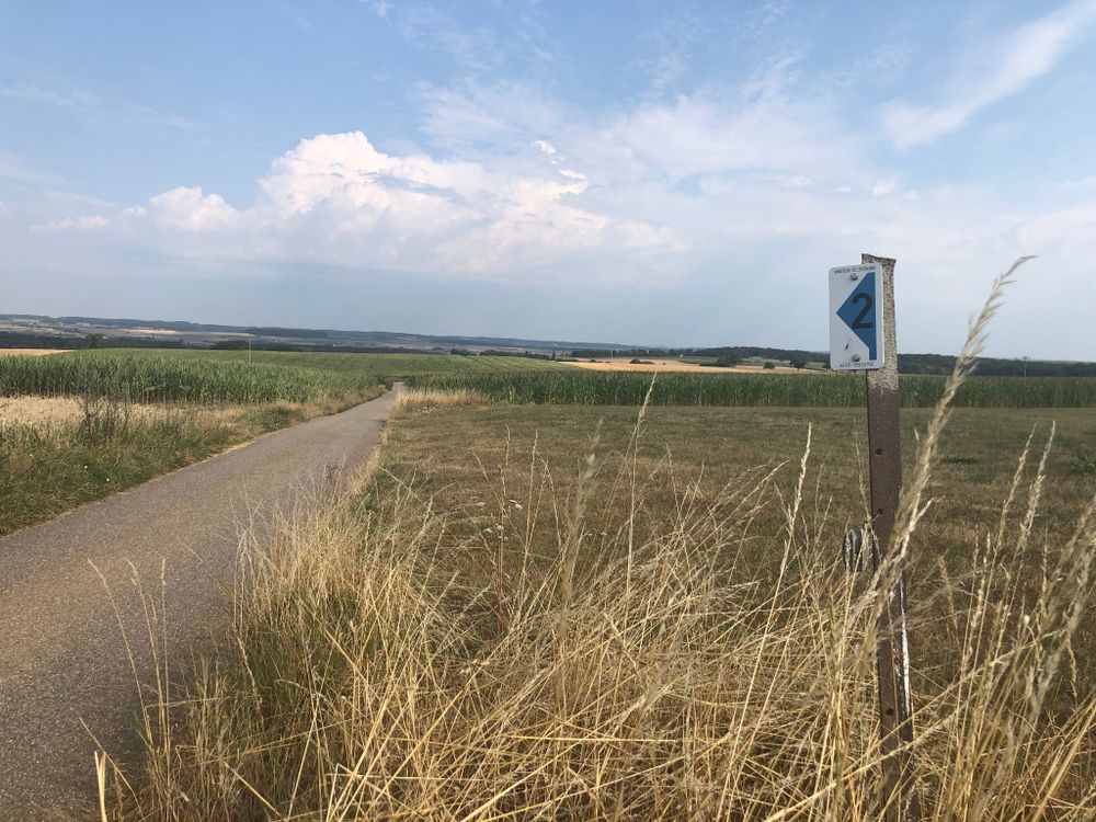
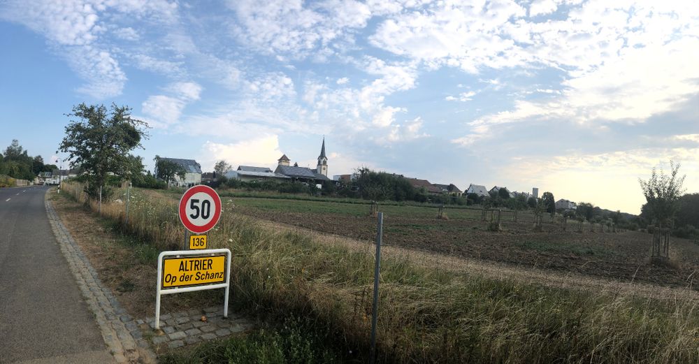
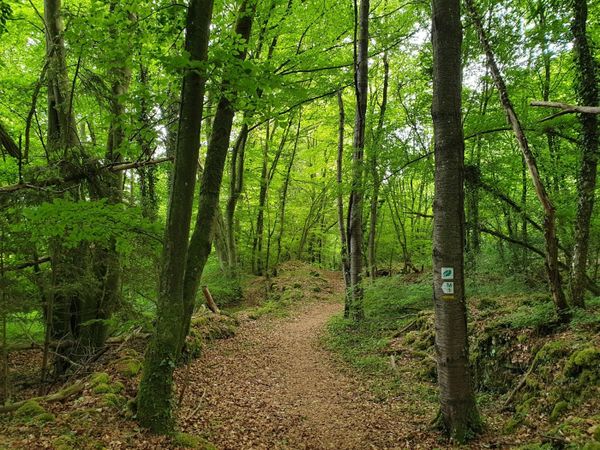
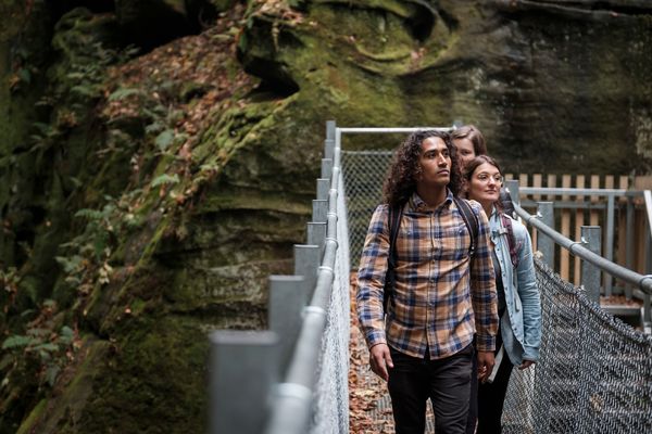
Auto-pédestre wandelroute Altrier
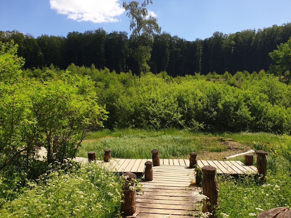
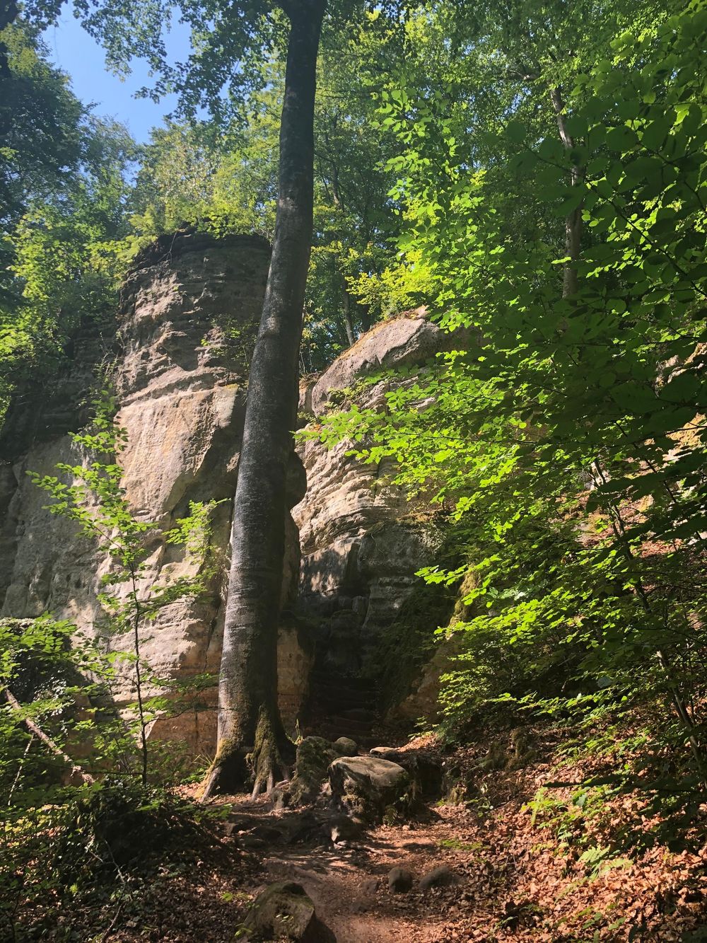
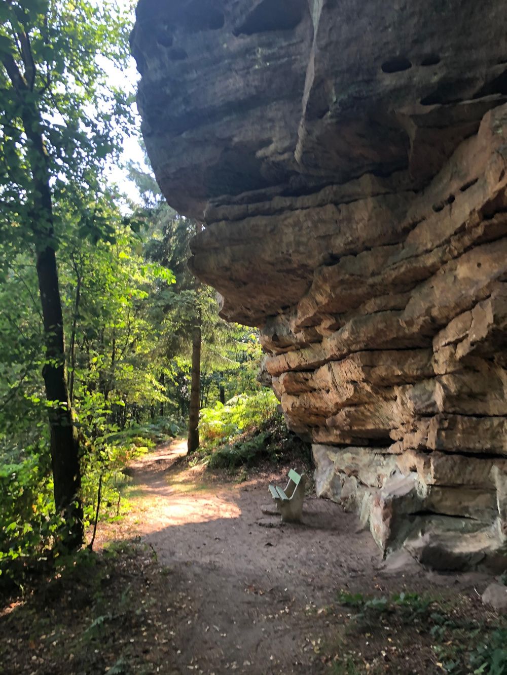
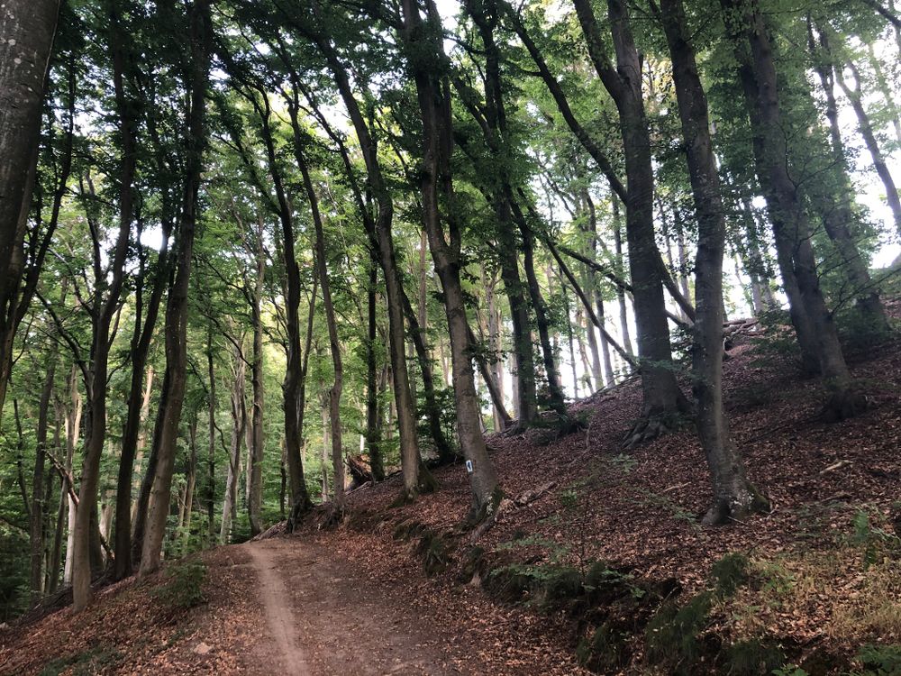
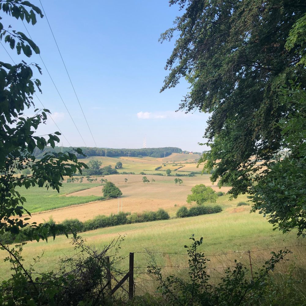
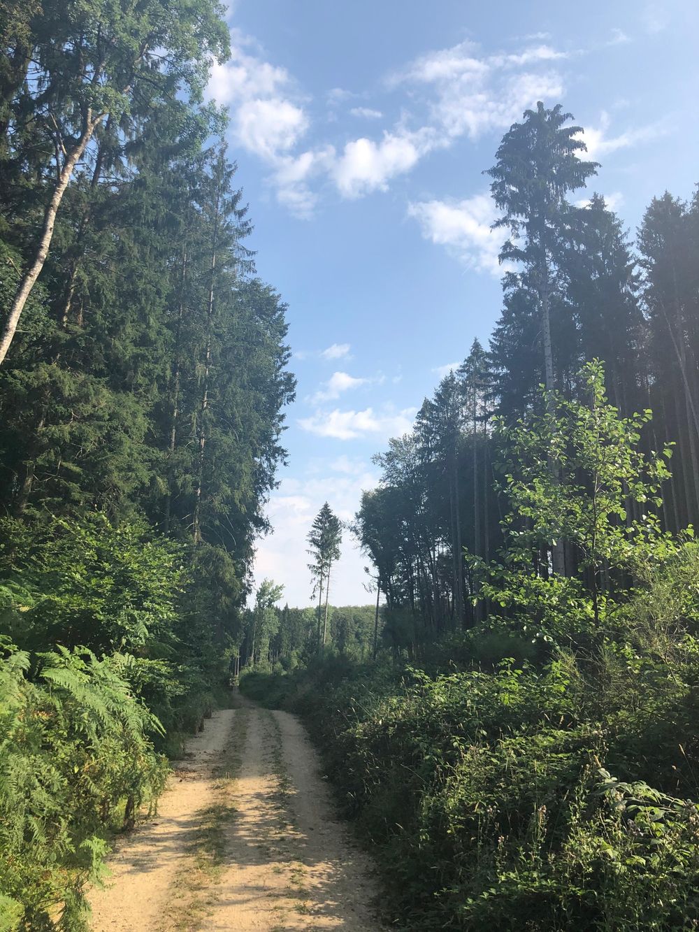
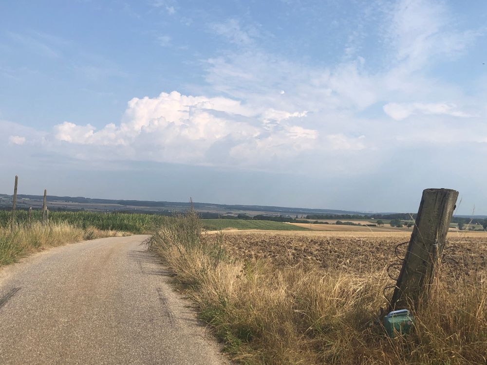
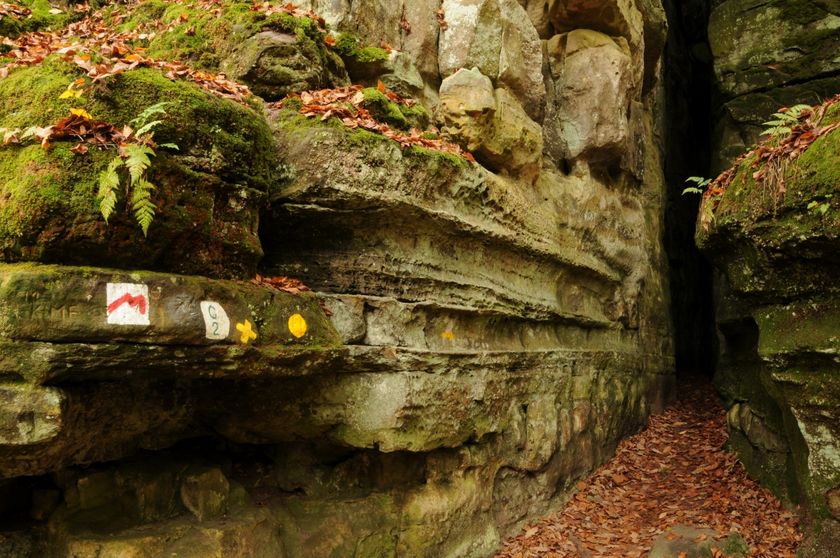
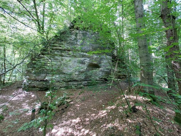
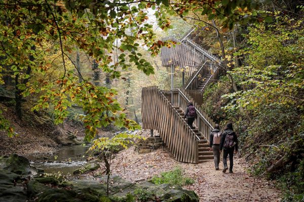
This long path climbs up the Bierg before descending in the Gluedbaach valley. It then reaches Kobebour until Kasselt and heads back to its starting point by following the Härdbaach, near Hersberg.
Uitrusting
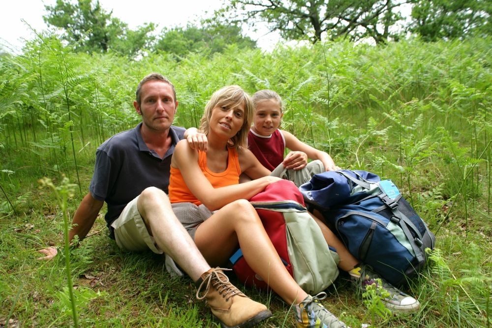
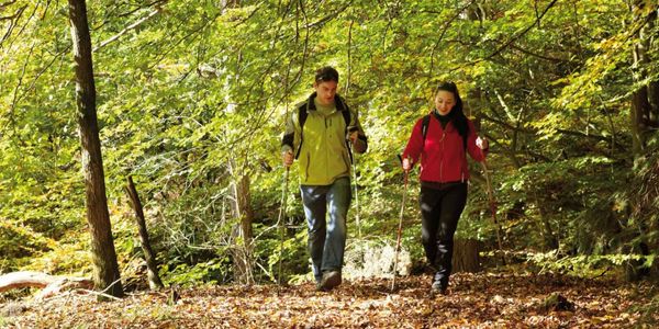
Stevige schoenen
Aankomst
Openbaar vervoer:
Dichtstbijzijnde bushalte: Altreier, Op der Schanz (100 m) Dichtstbijzijnde parkeerplaats: naast de bushalte (100 m)


 Deze website maakt gebruik van technologie en inhoud van het Outdooractive Platform.