©Visit Luxembourg
Müllerthal Germany France

Auto-Pédestre hiking route Ermsdorf

Hunting Season 2026/27 — Check for hunts

Autumn is here, and that means hunting season has begun! From mid-October to January/February, hunters are active across the country. Stay safe by checking hunt dates in your area on our Map. 

Click on Map in the Header > Services > More > Hunting.

Starting point

Ermsdorf: Cemetery

Destination

Ermsdorf: Cemetery

Distance
7,08 km
Duration
2:00 h
Difficulty
medium
  • Condition
Highest point
395 Hm
Lowest point
241 Hm
Aggregated Ascent
190 Hm
Aggregated Descent
190 Hm
Circular routes Visit Luxembourg

Description

Scenic Refreshment stops available

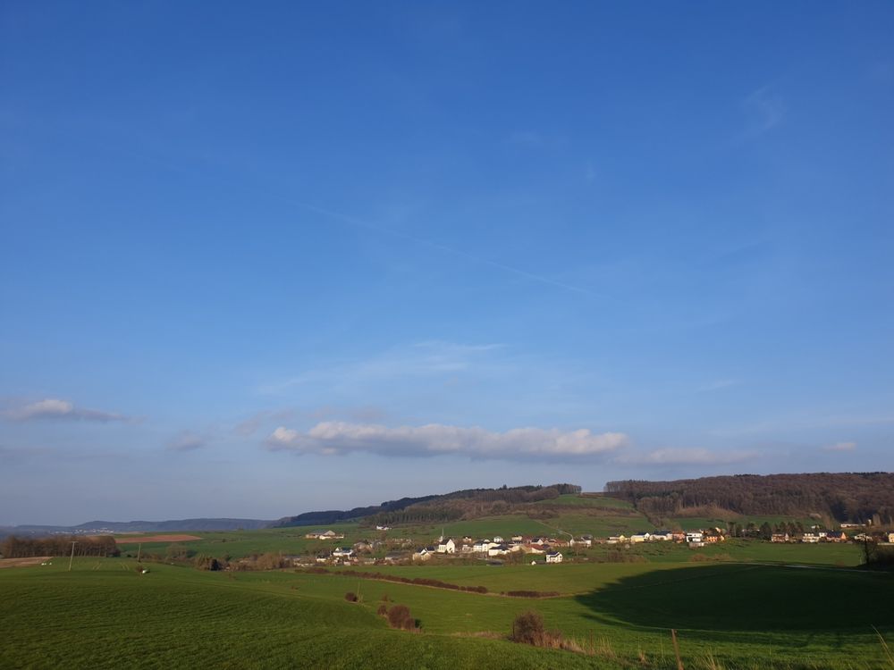
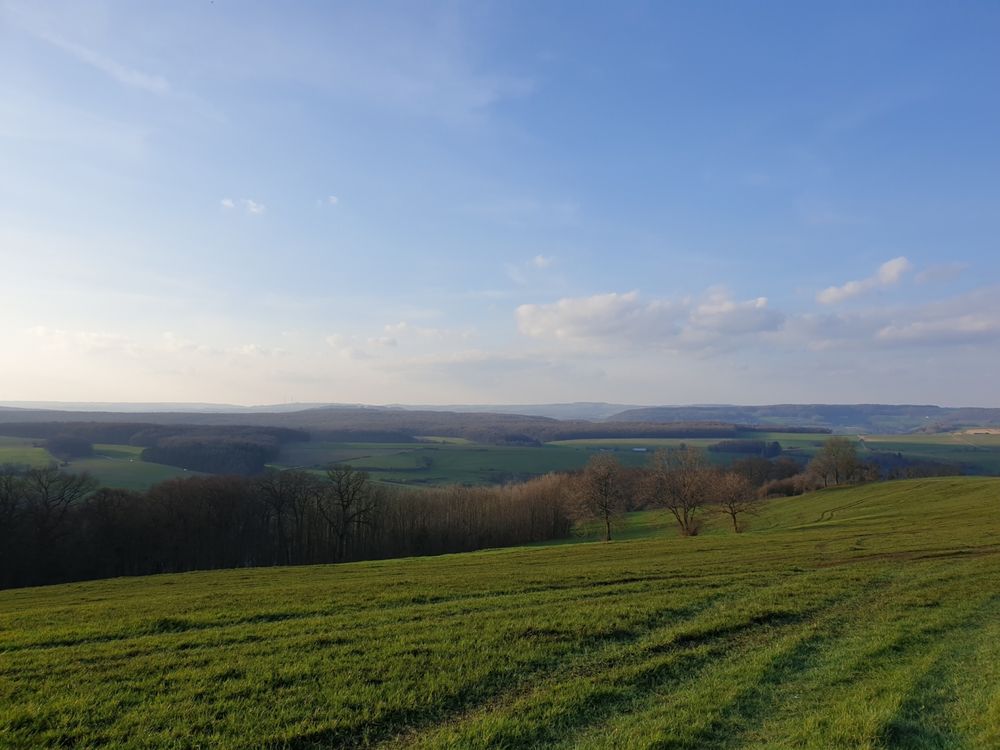
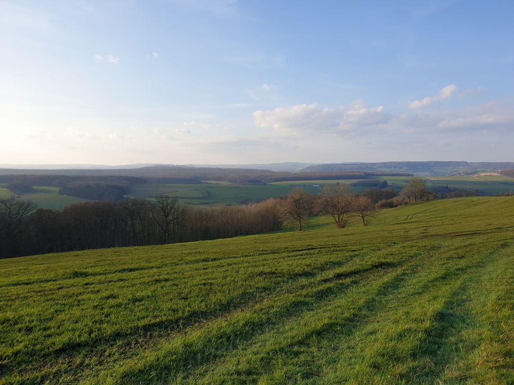
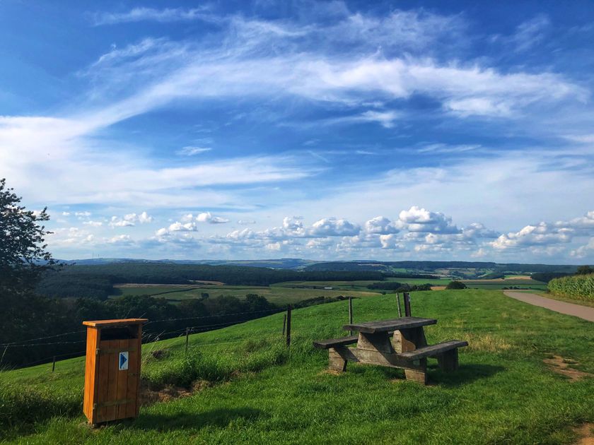
Scenic circular hiking route that mainly leads through open country, allowing you to enjoy the sun and the fresh country air.

This route, which begins with a gentle ascent through the fields, guides you along the ridge until you reach Op der Bélz, before returning to the starting point past the Neimillen.

Suggestions nearby

Auto-Pédestre hiking route Ermsdorf

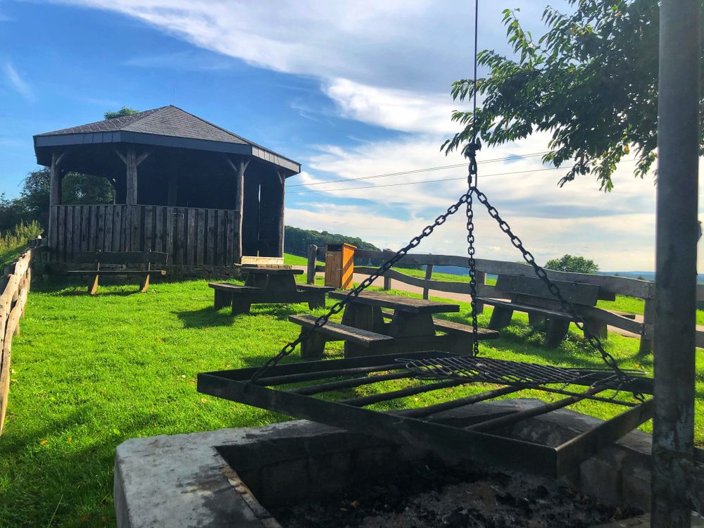
  • Picnic area Kneipenhecken
    Picnic area Kneipenhecken
    Find out more
  • ©Camping Neumühle
    Camping Neumühle
    Pets allowedPoolWifiRestaurant

Similar hiking tours

©Visit Luxembourg
Circular routes
Local hiking trail - J23
Distance: 8,37 km
Duration: 2:12 h
Difficulty: medium
Find out more
©Visit Luxembourg
Circular routes
Local hiking trail - J21
Distance: 5,21 km
Duration: 1:22 h
Difficulty: medium
Find out more
©Visit Luxembourg
Circular routes
Local hiking trail - J14
Distance: 14,58 km
Duration: 3:59 h
Difficulty: medium
Find out more
©Visit Luxembourg
Circular routes
Local hiking trail - J9
Distance: 10,97 km
Duration: 2:45 h
Difficulty: medium
Find out more
©Visit Luxembourg
Circular routes
Local hiking trail - J17
Distance: 11,02 km
Duration: 2:50 h
Difficulty: medium
Find out more
©Visit Luxembourg
Circular routes
Local hiking trail - L1
Distance: 2,25 km
Duration: 0:45 h
Difficulty: medium
Find out more
©Visit Luxembourg
Circular routes
Local hiking trail - C6
Distance: 5,88 km
Duration: 1:40 h
Difficulty: medium
Find out more
©ORTMPSL, ORTMPSL
Circular routes
Local hiking trail - B4
Distance: 6,13 km
Duration: 1:50 h
Difficulty: medium
Find out more
©Pancake! Photographie, Visit Mullerthal
Circular routes
Local hiking trail - E4
Distance: 10,99 km
Duration: 3:20 h
Difficulty: medium
Find out more
outdooractive This website uses technology and content from the Outdooractive Platform.