Hunting Season 2025/26 — Check for hunts

Autumn is here, and that means hunting season has begun! From mid-October to January/February, hunters are active across the country. Stay safe by checking hunt dates in your area on our Map. 

Click on Map in the Header > Services > More > Hunting.

Starting point

Bech: Becher Gare or Altrier: center

Destination

Bech: Becher Gare or Altrier: center

Distance
9,34 km
Duration
2:45 h
Difficulty
medium
  • Condition
Highest point
398 Hm
Lowest point
306 Hm
Aggregated Ascent
201 Hm
Aggregated Descent
201 Hm
Mullerthal Trail - Leading Quality Trails - Best of Europe Visit Luxembourg

Description

Scenic Refreshment stops available

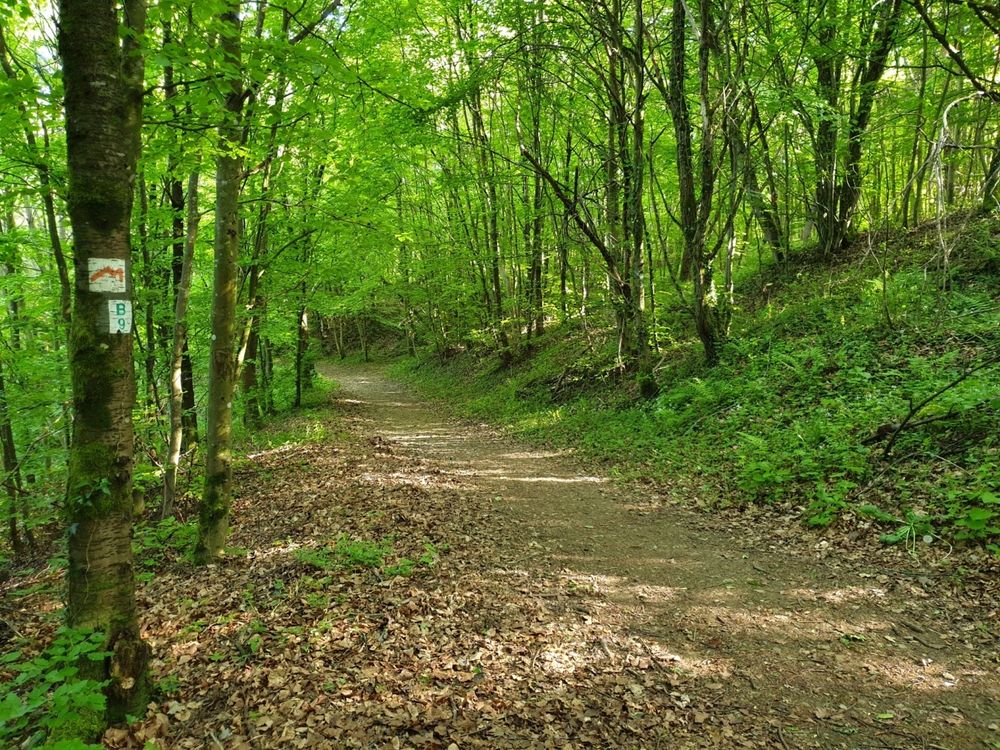
The Mullerthal Trail is supplemented by four ExtraTours, which are also very attractive hiking routes. They are suitable for getting to know the region or as additional routes if the other three routes have already been hiked.

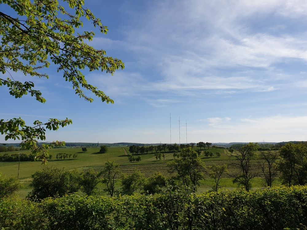
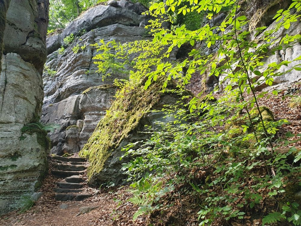
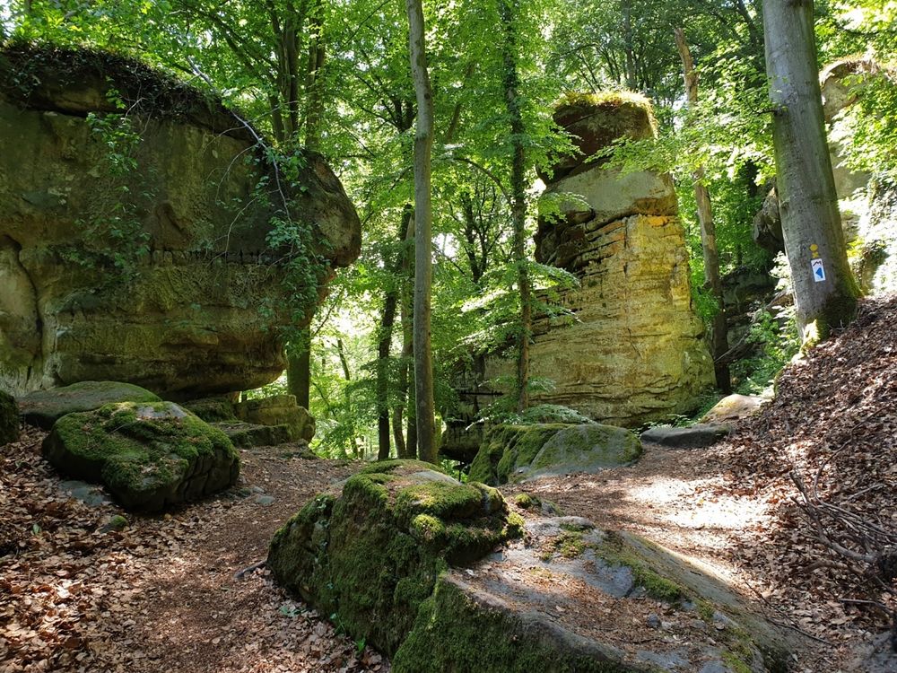
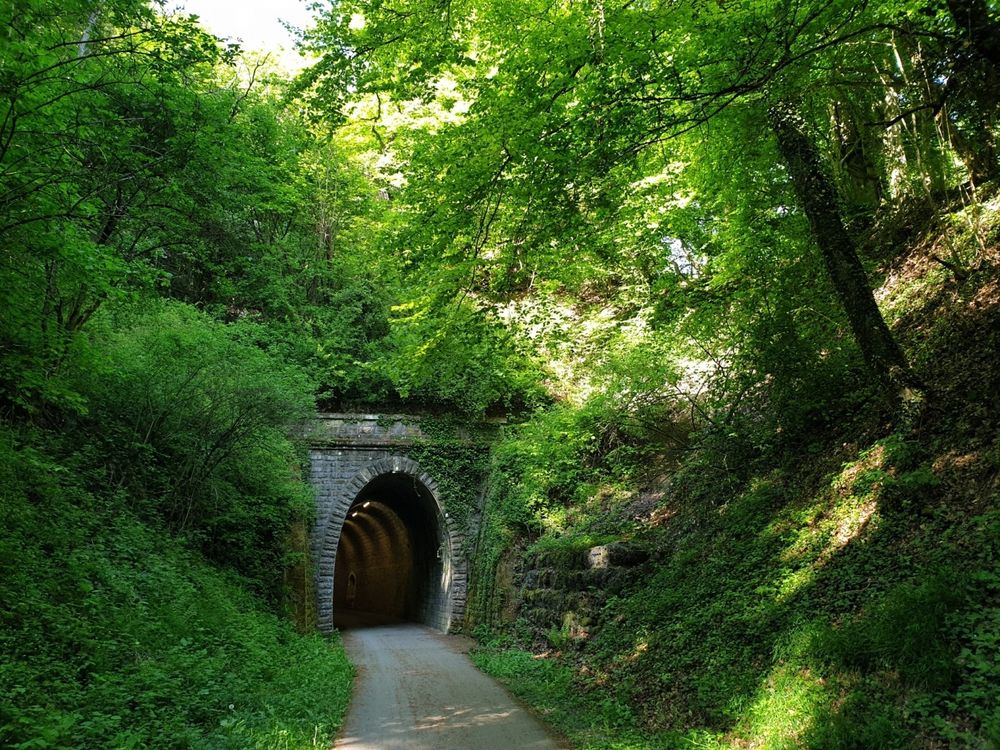
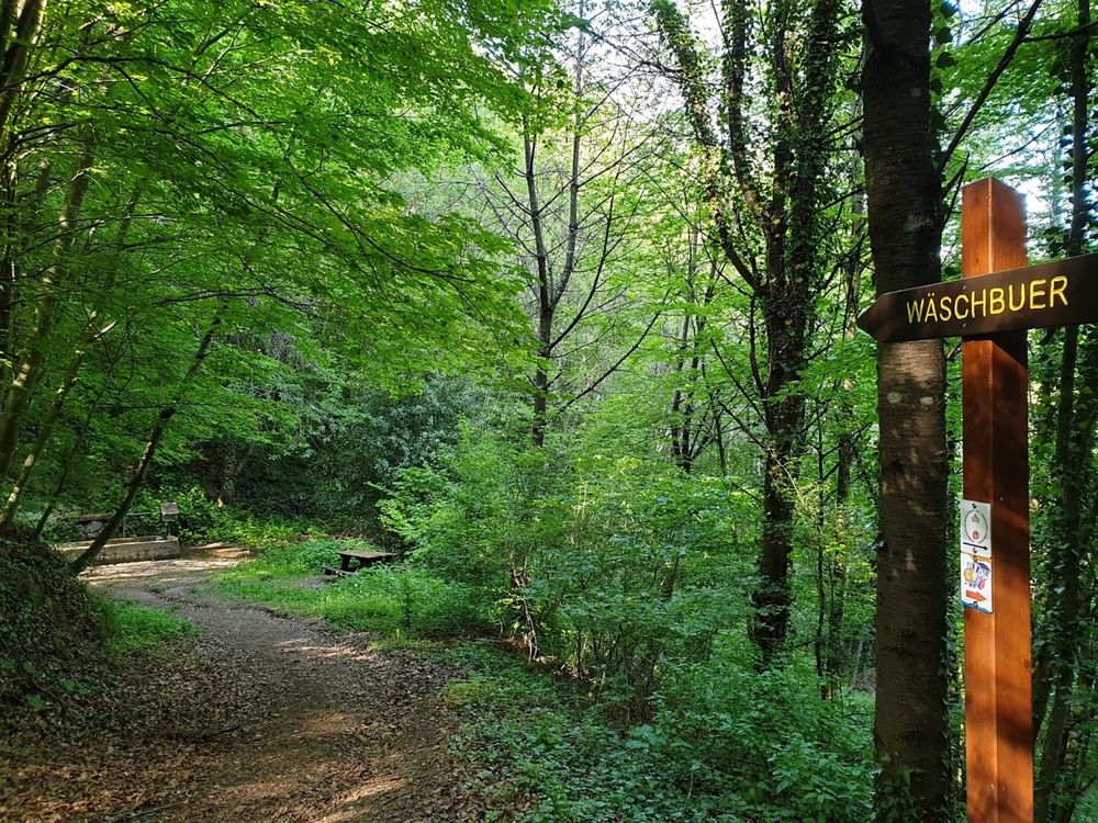
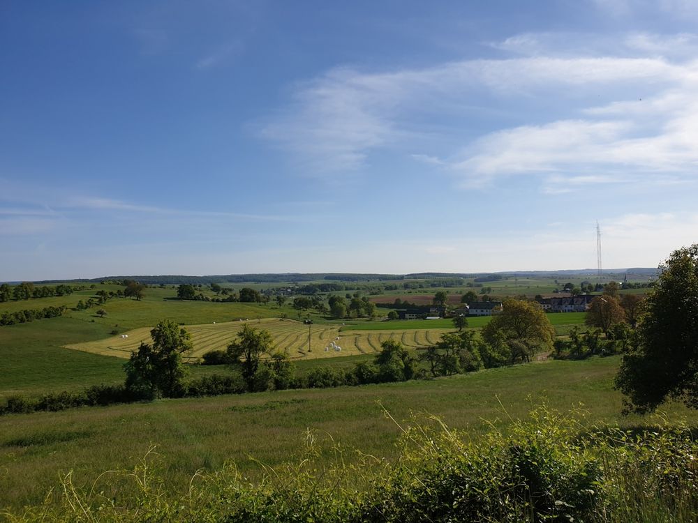
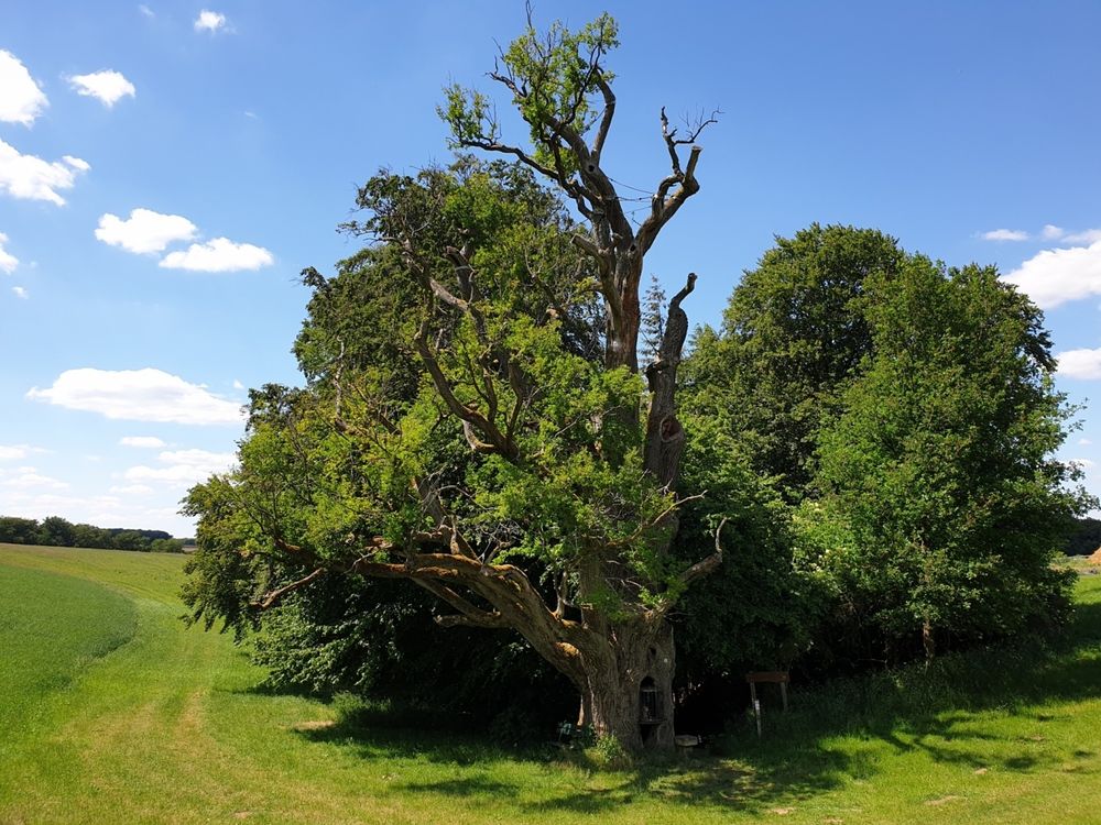
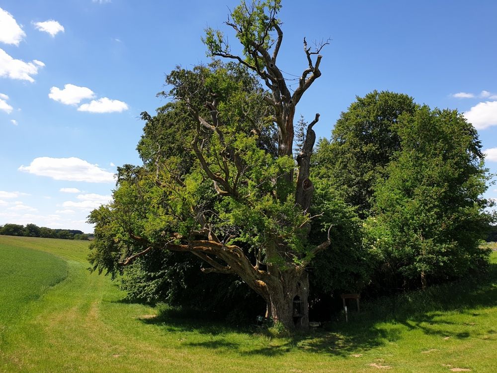
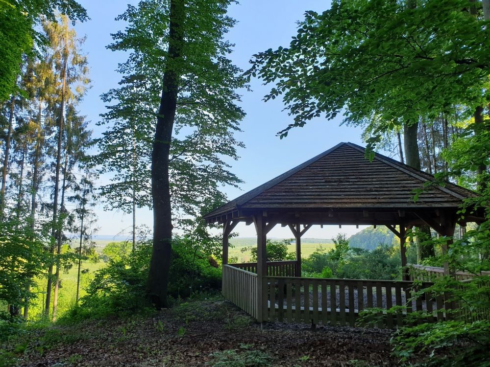
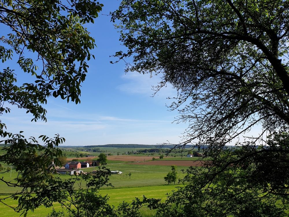
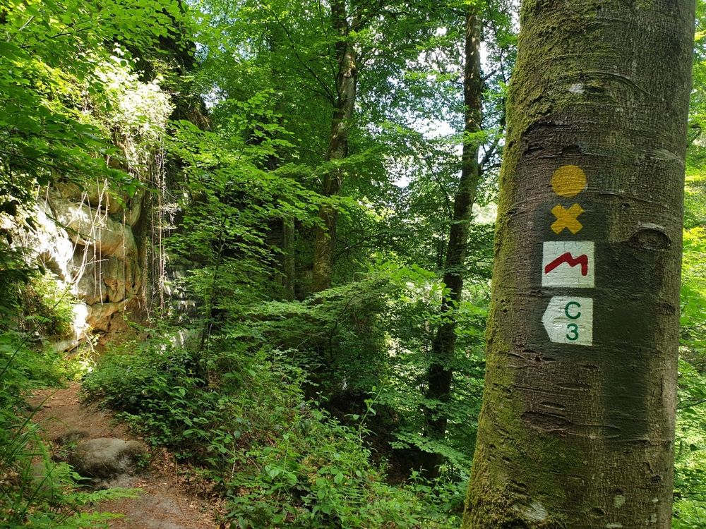
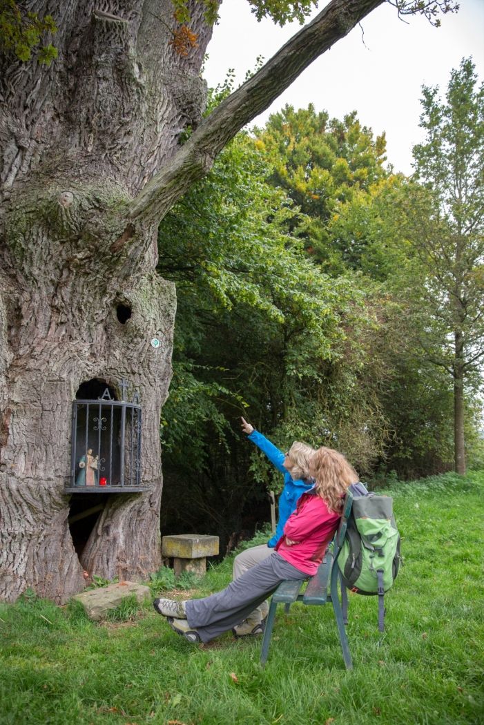
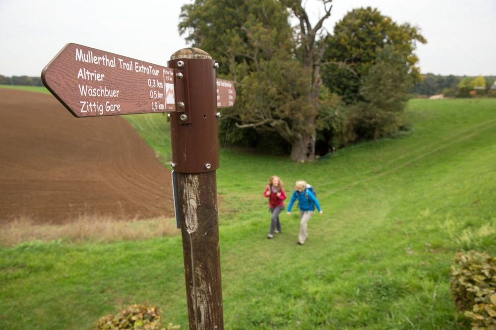
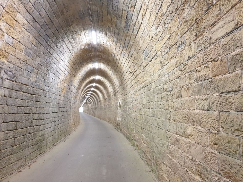
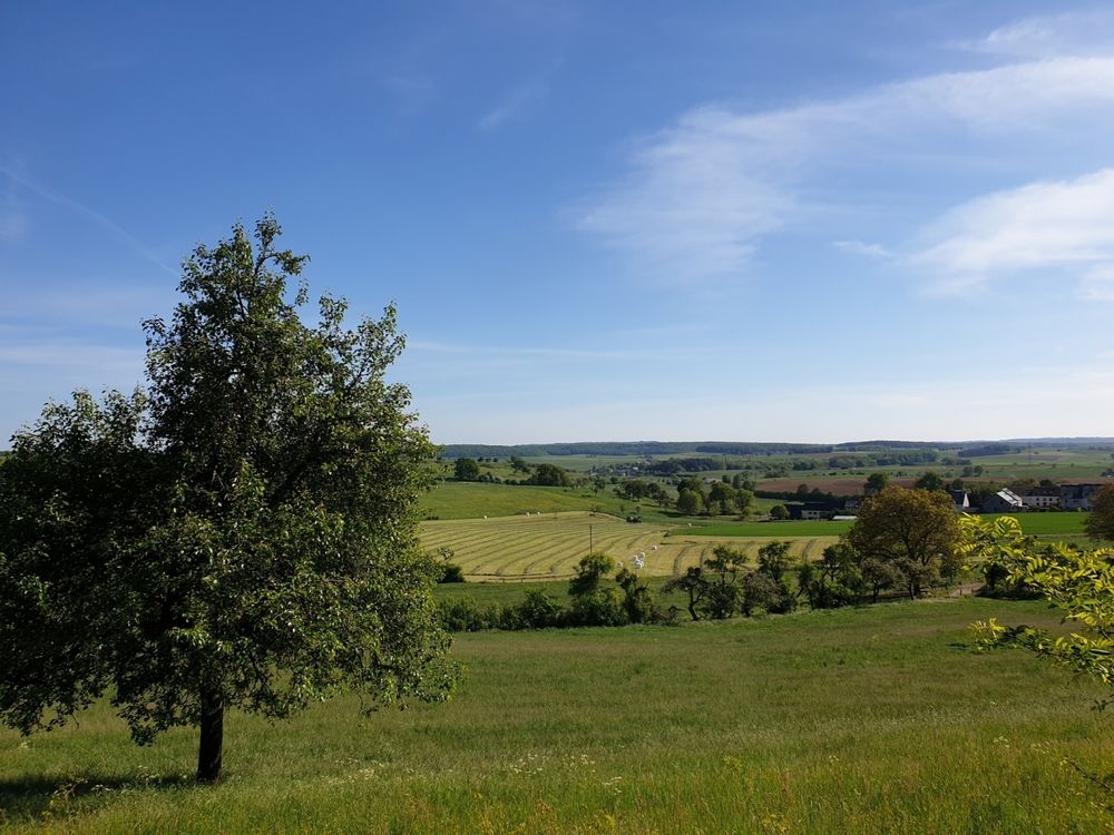
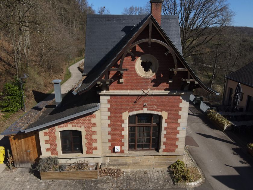
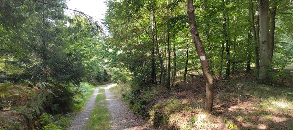
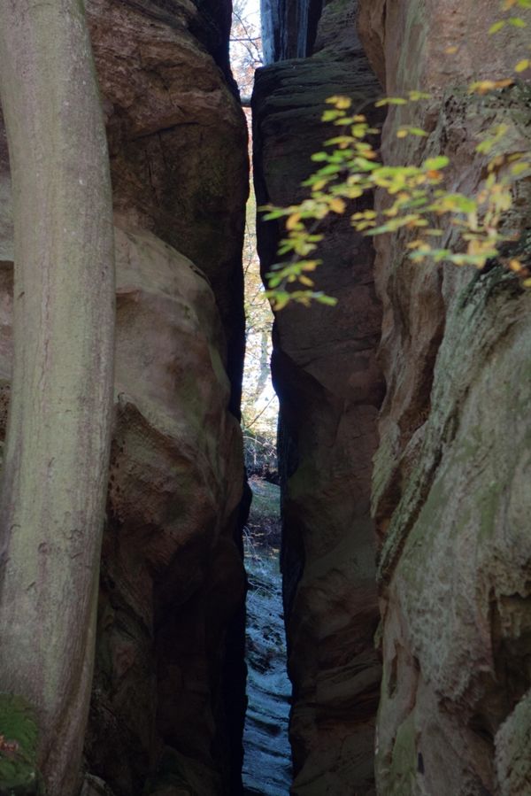
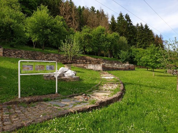
The ExtraTour C connects the villages of Bech and Altrier with the Mullerthal Trail. In Bech, the hiker passes the old station (Becher Gare), near which is the 300 m long railway tunnel. The route leads through this tunnel, which also serves as a bike path. On the route between Bech and Altrier, the path offers numerous beautiful views of the Untersauer area and the Moselle. Noteworthy on this section are the tumulus (an ancient burial mound) and the natural monument “Bildchen” (an approximately 500-year-old oak tree).

Suggestions nearby

Mullerthal Trail ExtraTour C

  • ©Brauerei Echternach
    Brewery Echternach
    Brewery in Bech known for excellent beer
    Find out more

Similar hiking tours

©Visit Luxembourg
Thematic paths
Circular hiking trail through the Deiwelskopp nature reserve
Distance: 8,50 km
Duration: 2:27 h
Difficulty: medium
Find out more
©Visit Luxembourg
Circular routes
Local hiking route - F2
Distance: 8,21 km
Duration: 2:30 h
Difficulty: medium
Find out more
©Tom Barnich, Visit Berdorf
Circular routes
Local hiking trail - B17
Distance: 6,14 km
Duration: 1:40 h
Difficulty: medium
Find out more
©Visit Luxembourg
Thematic paths
Didactic nature path "Joffer Margot"
Distance: 6,88 km
Duration: 2:00 h
Difficulty: medium
Find out more
©Visit Luxembourg
Circular routes
Local hiking route - B12
Distance: 3,25 km
Duration: 0:55 h
Difficulty: medium
Find out more
©Visit Luxembourg
Circular routes
Local route - B10
Distance: 4,99 km
Duration: 1:20 h
Difficulty: medium
Find out more
©Visit Luxembourg
Thematic paths
Memorial Route
Distance: 20,46 km
Duration: 5:40 h
Difficulty: medium
Find out more
©L. Schömer, Visit Luxembourg
Circular routes
Auto-pédestre trail Bollendorf-Pont
Distance: 8,67 km
Duration: 2:40 h
Difficulty: medium
Find out more
©Visit Luxembourg
Circular routes
Auto-Pédestre hiking route Echternach Centre
Distance: 6,71 km
Duration: 2:00 h
Difficulty: medium
Find out more
outdooractive This website uses technology and content from the Outdooractive Platform.