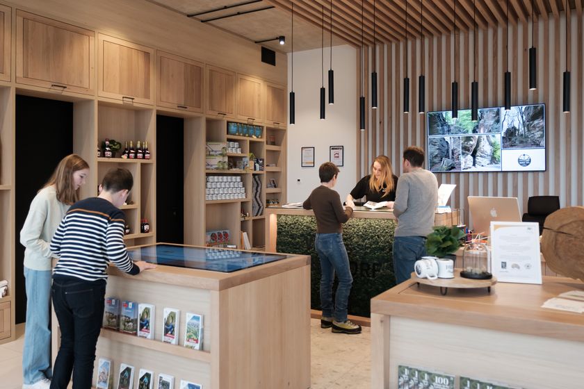
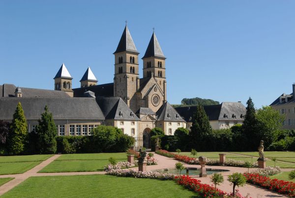
Hunting Season 2025/26 — Check for hunts

Autumn is here, and that means hunting season has begun! From mid-October to January/February, hunters are active across the country. Stay safe by checking hunt dates in your area on our Map. 

Click on Map in the Header > Services > More > Hunting.

Starting point

Berdorf: Tourist Info

Destination

Berdorf: Tourist Info

Distance
4,35 km
Duration
1:20 h
Difficulty
medium
  • Condition
Highest point
368 Hm
Lowest point
316 Hm
Aggregated Ascent
52 Hm
Aggregated Descent
52 Hm
Circular routes

Description

The local circular hiking route B2 is an adventure hike with a guarantee of excitement for the whole family.

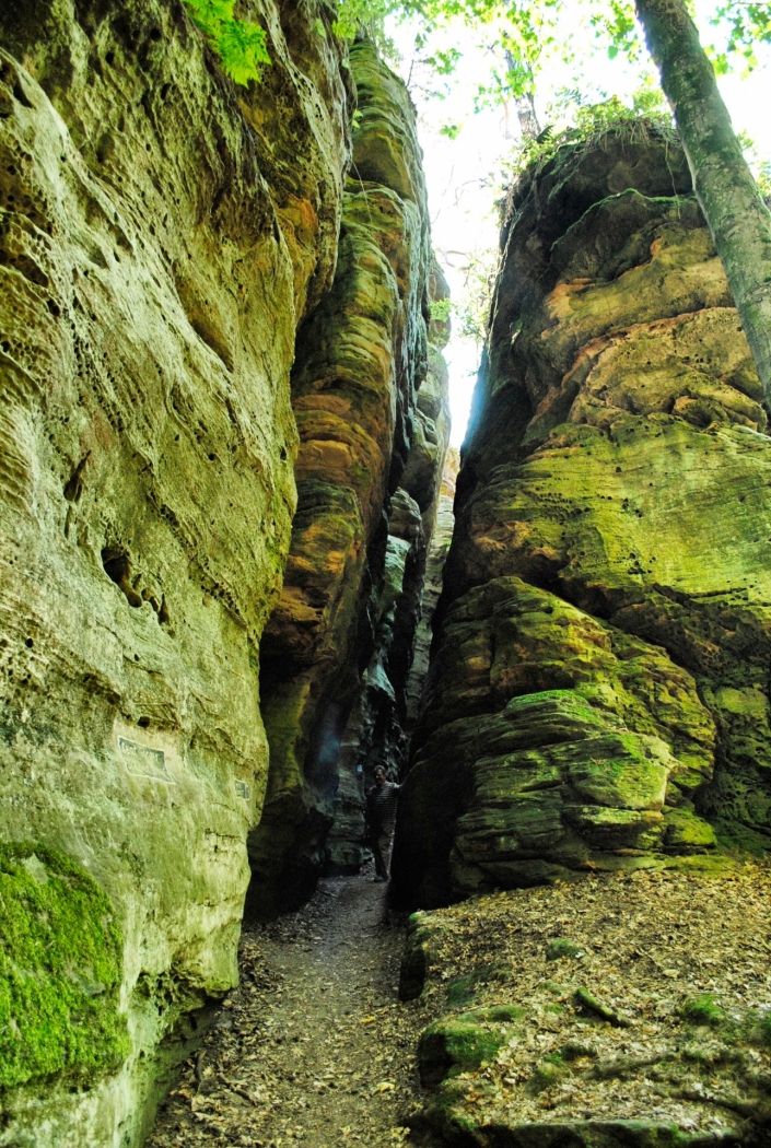
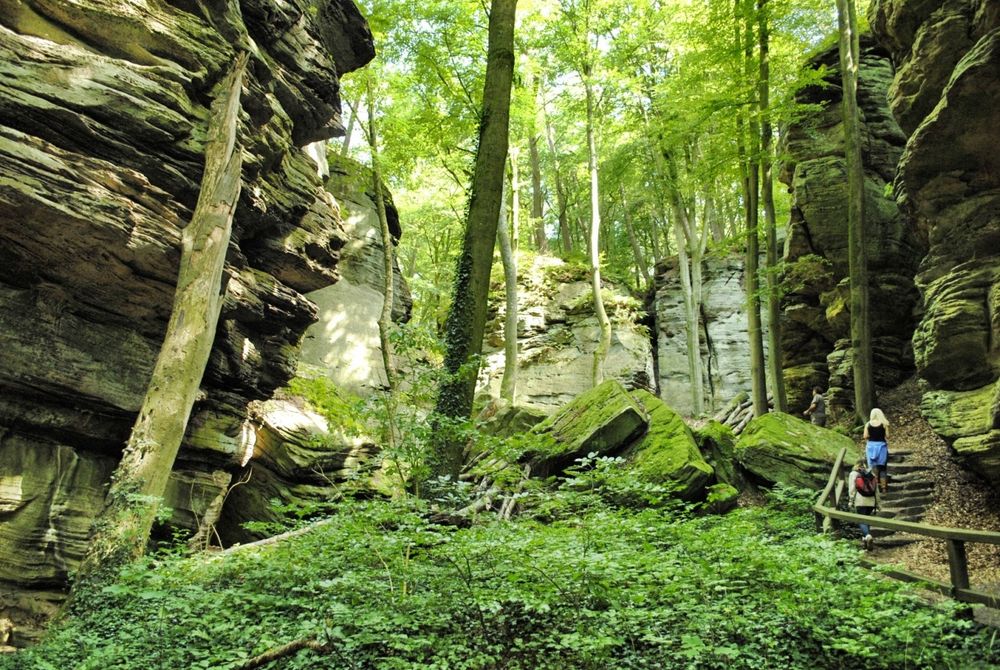
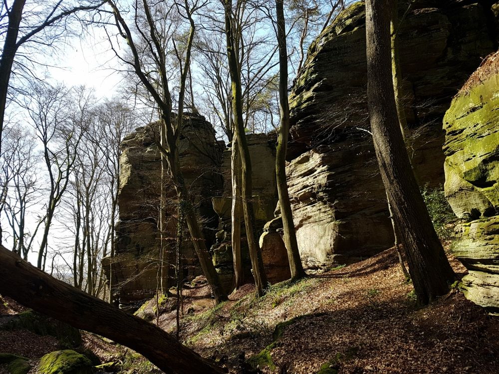
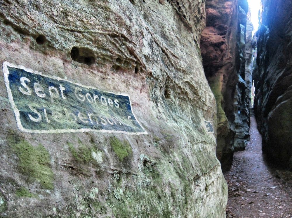
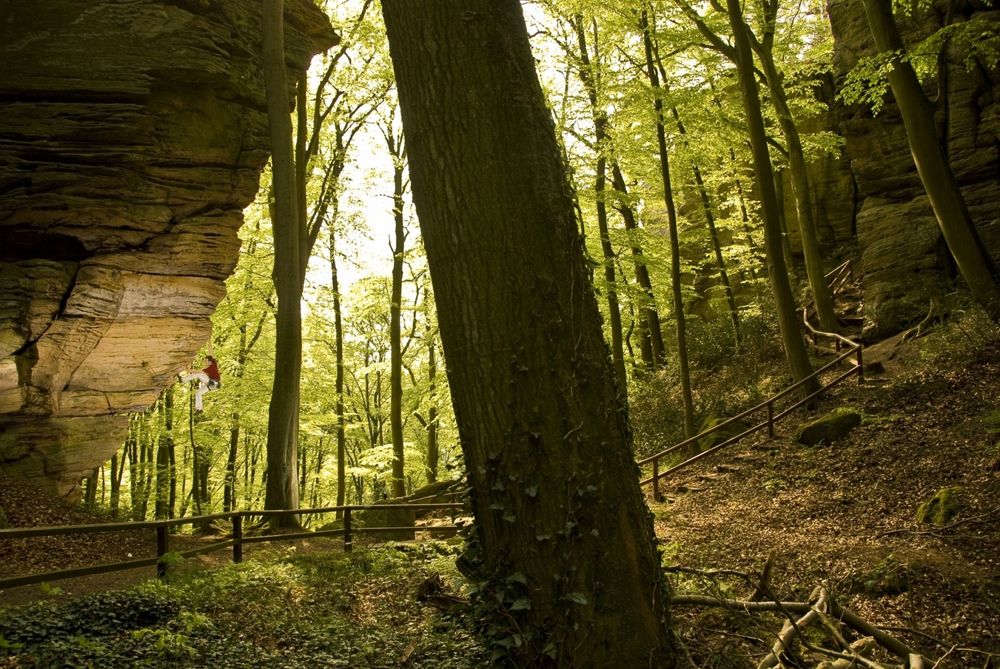
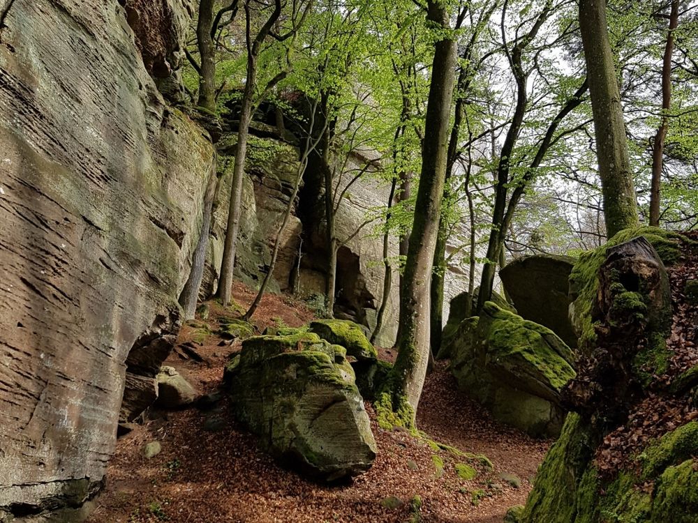
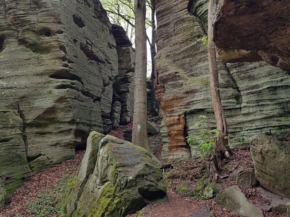
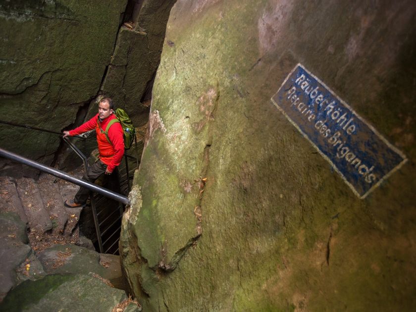
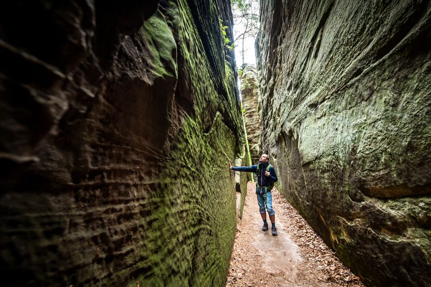
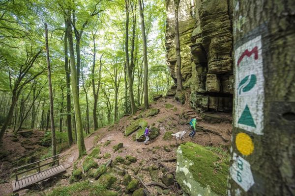
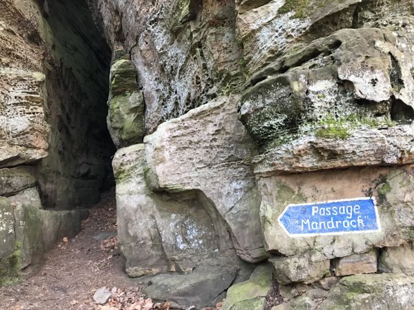
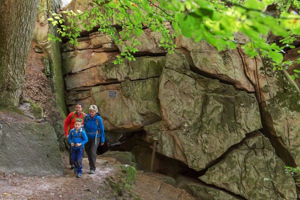
After just a few meters, you reach the romantic rock gorge of the Ruetsbech. Athletic hikers and those seeking an adventurous thrill should definitely explore the mysterious Ruetsbechschlëff, investigate the Raiberhiel, and climb the iron ladder to the eagle's nest at dizzying heights!

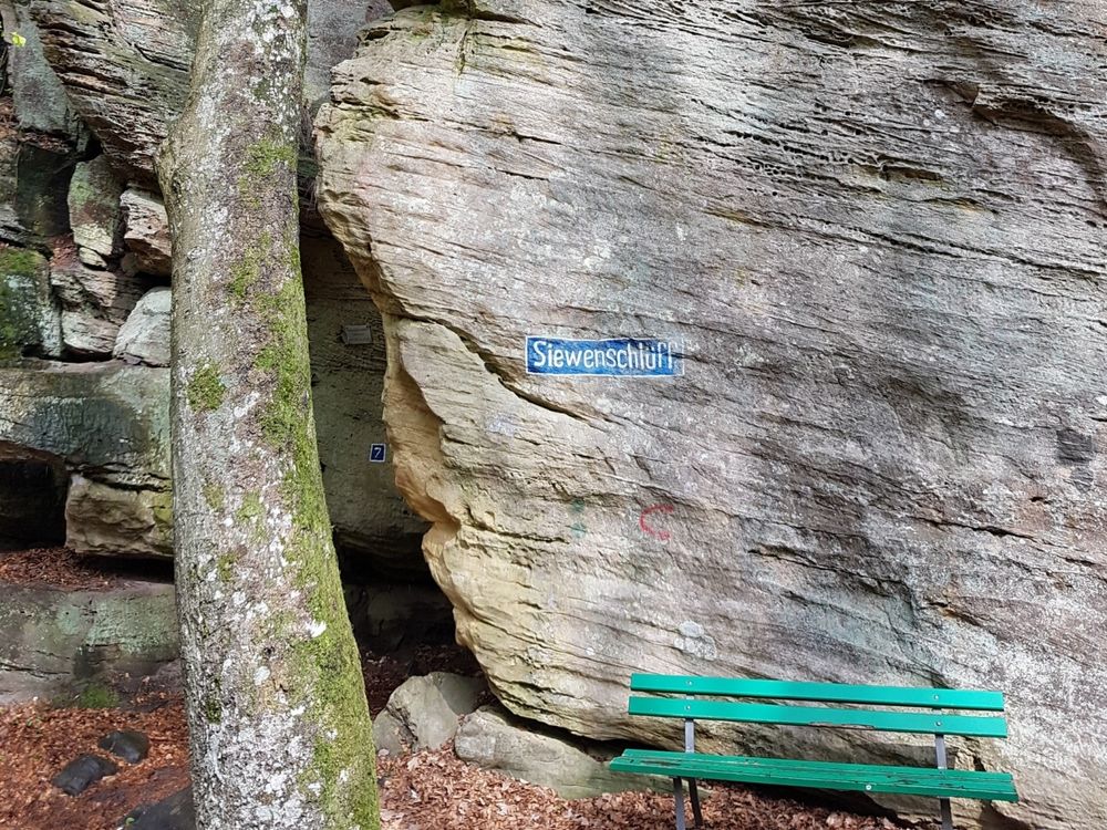
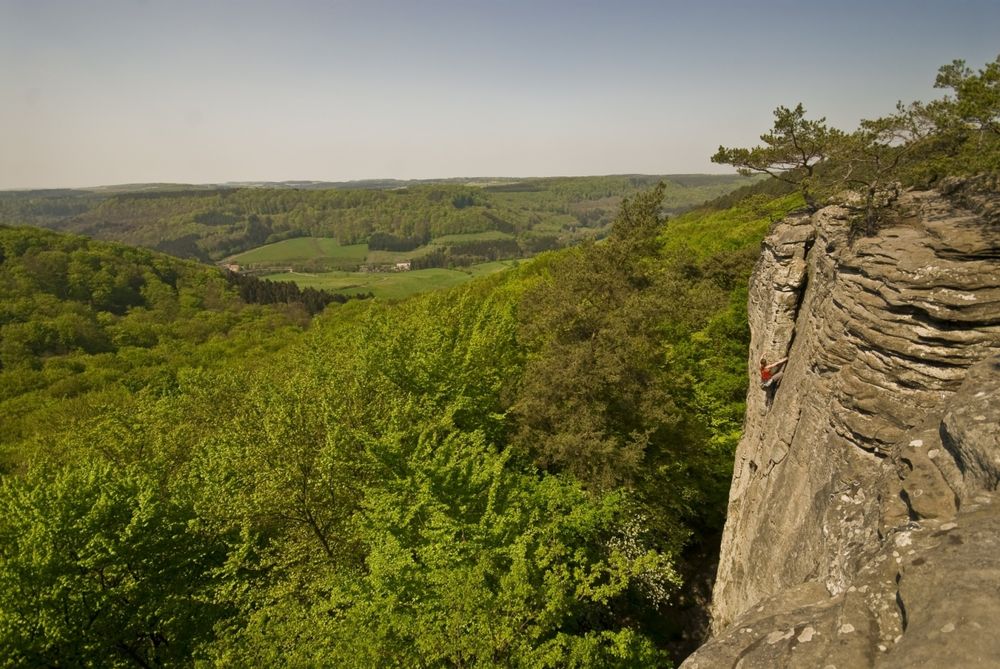
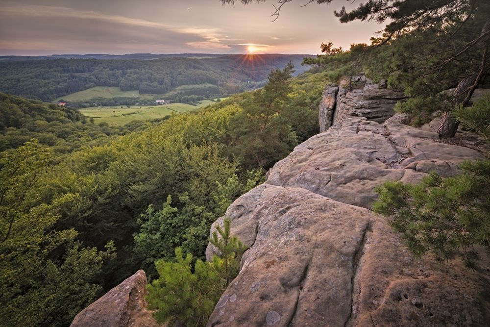
Climbing up to the beautiful viewpoints Ruetsbechplateau or Däiwelsinsel is recommended. All these absolutely unique sights are combined in an area of hardly two hectares. Yet you can devote yourself to hours of exploration in a fairytale setting. The circular hiking route crosses an old Roman road, follows a narrow path along the rock chain on the slope, and flows after about 600 m into the gorge of the climbing garden Wanterbaach, ending with the famous Siweschlëff.

Passing through the “Schlëffe” as well as climbing up to the viewpoint: a must!

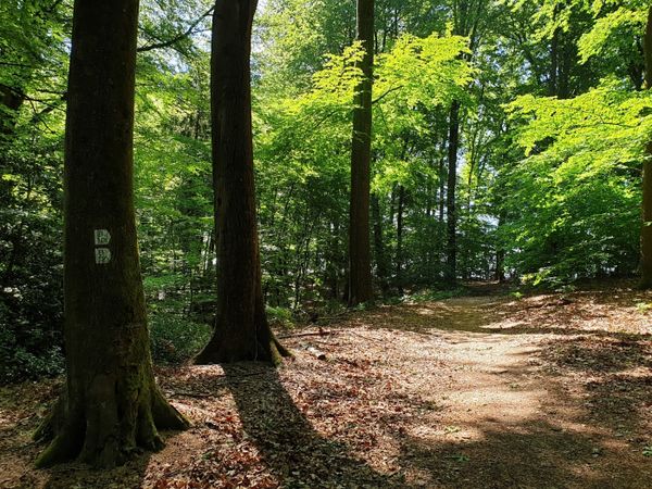
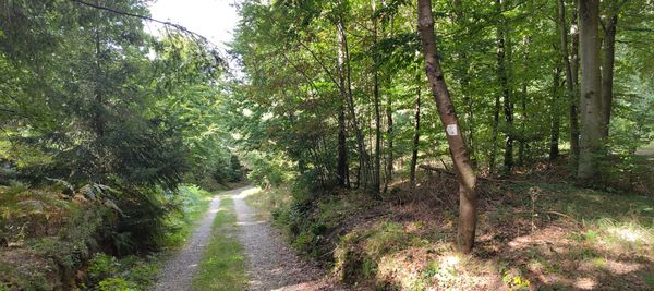
From Kaasselt, the circular hiking route B2 runs back on an almost flat forest trail to the Martbusch leisure center.
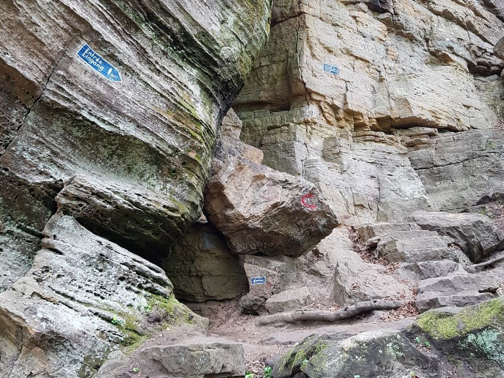
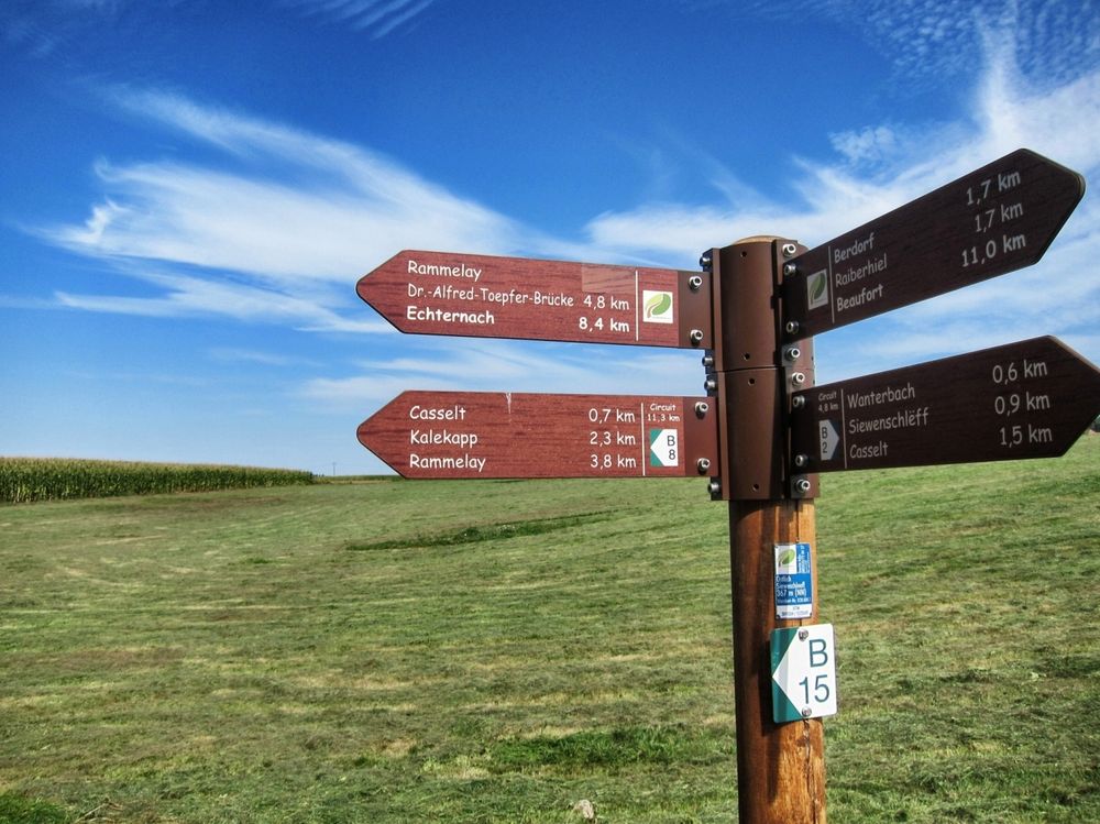
Suggestions nearby

Local hiking route - B2

  • ©Pancake! Photographie
    Tourist Info Berdorf
    Tourist Info Berdorf
    Find out more
  • ©A. Schösser
    Geolandscape "Wanterbaach-Siweschlëff"
    Explore the impressive rock labyrinth amid steep rocky gorges.
    Find out more
  • Rock formation "Raiberhiel"
    Enter one of the narrowest caves in the region and climb out again via the stairs.
    Find out more

Similar hiking tours

©Visit Luxembourg
Thematic paths
Circular hiking trail through the Deiwelskopp nature reserve
Distance: 8,50 km
Duration: 2:27 h
Difficulty: medium
Find out more
©Visit Luxembourg
Circular routes
Local hiking route - F2
Distance: 8,21 km
Duration: 2:30 h
Difficulty: medium
Find out more
©Tom Barnich, Visit Berdorf
Circular routes
Local hiking trail - B17
Distance: 6,14 km
Duration: 1:40 h
Difficulty: medium
Find out more
©Visit Luxembourg
Thematic paths
Didactic nature path "Joffer Margot"
Distance: 6,88 km
Duration: 2:00 h
Difficulty: medium
Find out more
©Visit Luxembourg
Circular routes
Local hiking route - B12
Distance: 3,25 km
Duration: 0:55 h
Difficulty: medium
Find out more
©Visit Luxembourg
Circular routes
Local route - B10
Distance: 4,99 km
Duration: 1:20 h
Difficulty: medium
Find out more
©Visit Luxembourg
Thematic paths
Memorial Route
Distance: 20,46 km
Duration: 5:40 h
Difficulty: medium
Find out more
©L. Schömer, Visit Luxembourg
Circular routes
Auto-pédestre trail Bollendorf-Pont
Distance: 8,67 km
Duration: 2:40 h
Difficulty: medium
Find out more
©Visit Luxembourg
Circular routes
Auto-Pédestre hiking route Echternach Centre
Distance: 6,71 km
Duration: 2:00 h
Difficulty: medium
Find out more
outdooractive This website uses technology and content from the Outdooractive Platform.