©Visit Luxembourg
Müllerthal Germany France

Local hiking trail - B7

Hunting Season 2025/26 — Check for hunts

Autumn is here, and that means hunting season has begun! From mid-October to January/February, hunters are active across the country. Stay safe by checking hunt dates in your area on our Map. 

Click on Map in the Header > Services > More > Hunting.

Starting point

Beaufort: Castle

Destination

Beaufort: Castle

Distance
11,57 km
Duration
3:15 h
Difficulty
medium
  • Condition
Highest point
415 Hm
Lowest point
257 Hm
Aggregated Ascent
182 Hm
Aggregated Descent
182 Hm
Circular routes Visit Luxembourg

Description

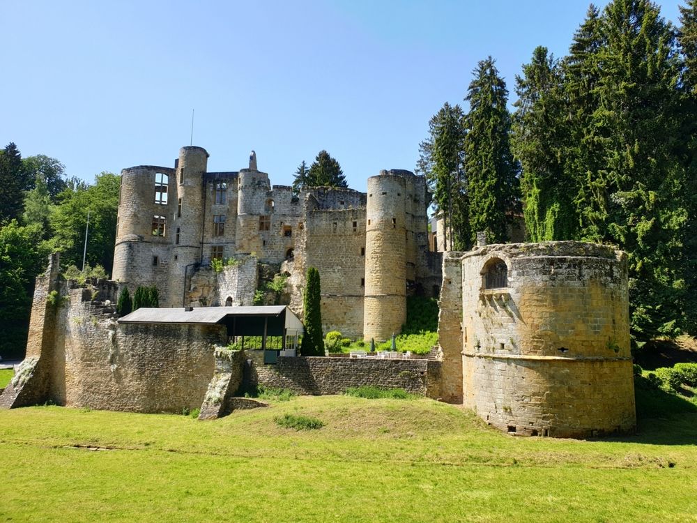
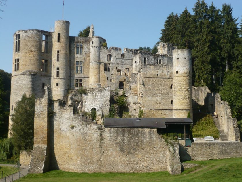
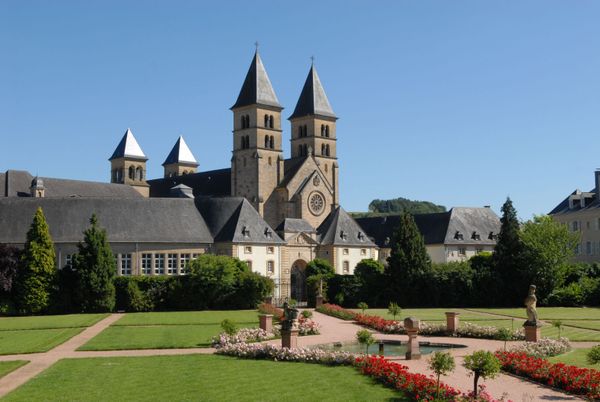
Extensive hike that largely follows the Mullerthal Trail (Route 3). Highlights include the castle in Beaufort, romantically wild stream valleys, and spectacular rocks.

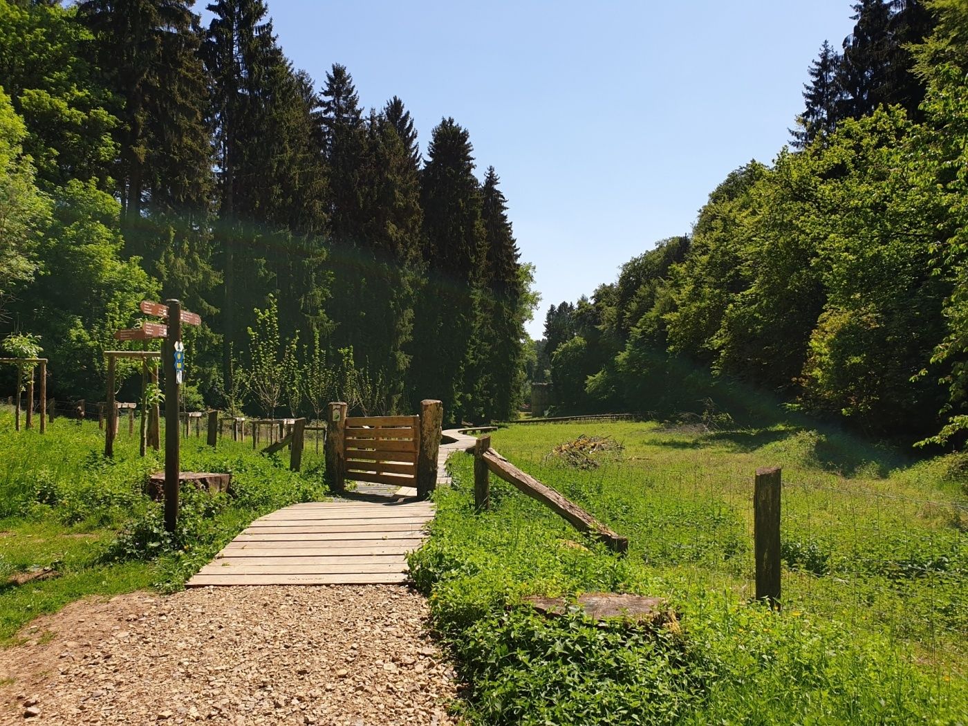
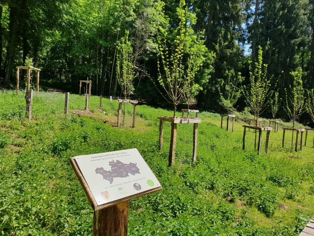
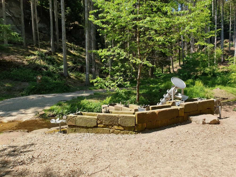
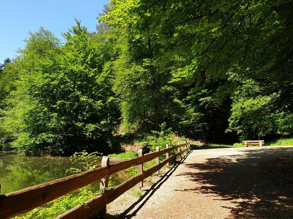
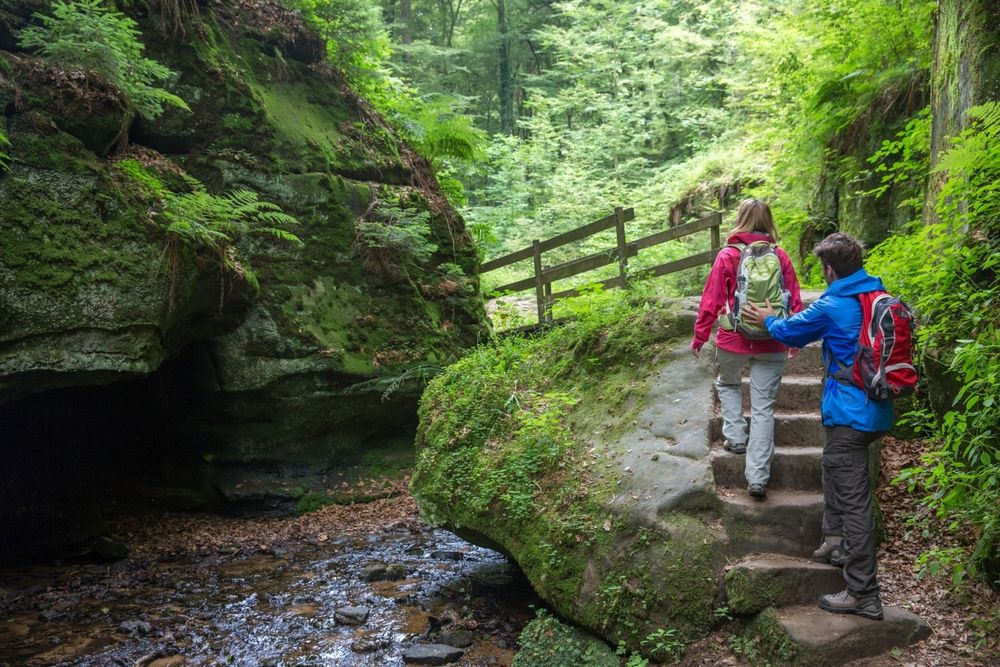
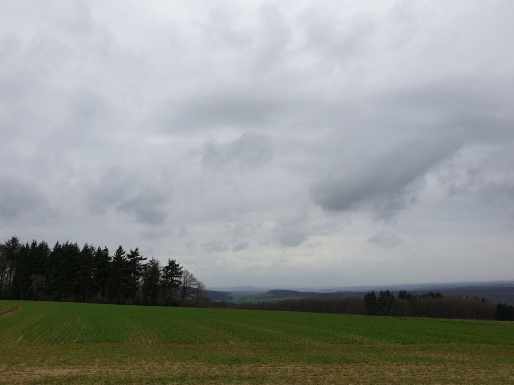
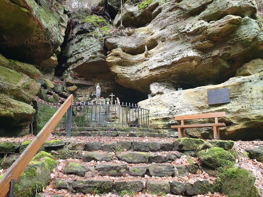
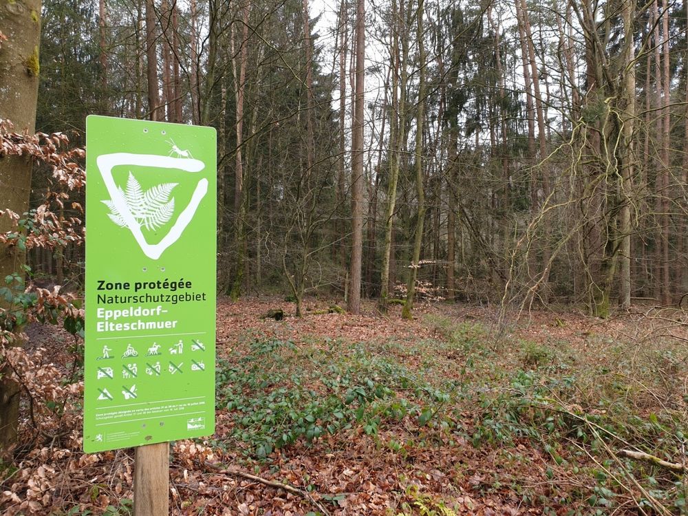
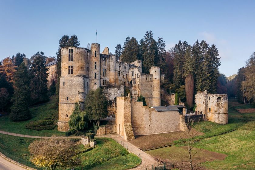
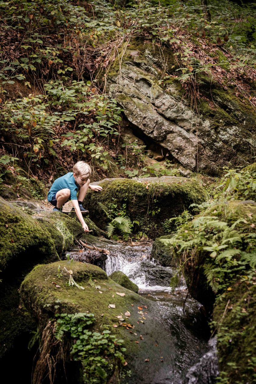
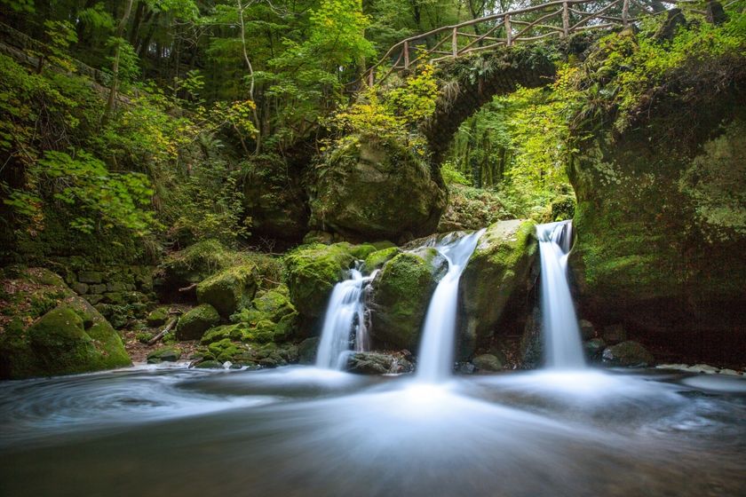
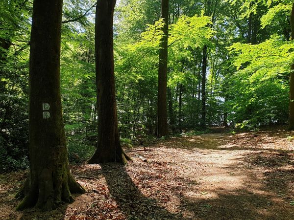
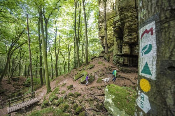
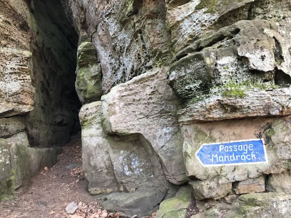
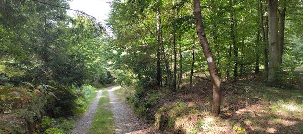
The hiking trail leads through forests and along the romantically wild streams Haupeschbaach and Halerbaach, offering different perspectives in every season. The path starts at Beaufort Castle and passes by Klingelbur, an old washing fountain. The old refuge castle Alebuerg is also passed. After crossing a nature reserve (Elteschmuer), there is a beautiful view from Grevenhaff. Along spectacular rocks such as the Ellerlee, the hiking trail winds back to the starting point.

Suggestions nearby

Local hiking trail - B7

  • ©Anne Lommel
    free
    with theLuxembourgPass
    Beaufort Castles
    Immerse yourself in the history of the medieval castle and discover how the last occupant lived in the Renaissance castle.
    Find out more
  • ©PANCAKE! Photographie
    Creek valleys “Haupeschbaach and Halerbaach”
    Hike along the wild-romantic, bubbling streams Haupeschbaach and Halerbaach
    Find out more
  • Picnic area Halermillen
    Picnic area Halermillen
    Find out more
  • ©Pancake! Photographie
    Tourist Info Beaufort
    Tourist Info Beaufort
    Find out more
  • ©Restaurant de l'Auberge Rustiqu
    Restaurant de l'Auberge Rustique
    Restaurant de l'Auberge Rustique
    Find out more
  • ©Th. Bichler
    Mëllerdall UNESCO Global Geopark
    Mëllerdall UNESCO Global Geopark
    Find out more
  • Parking - Castle of Beaufort
    Parking - Castle of Beaufort
    Find out more

Similar hiking tours

©Tom Barnich, Visit Berdorf
Circular routes
Local hiking trail - B17
Distance: 6,14 km
Duration: 1:40 h
Difficulty: medium
Find out more
©Visit Luxembourg
Thematic paths
Circular hiking trail through the Deiwelskopp nature reserve
Distance: 8,50 km
Duration: 2:27 h
Difficulty: medium
Find out more
©Visit Luxembourg
Thematic paths
Didactic nature path "Joffer Margot"
Distance: 6,88 km
Duration: 2:00 h
Difficulty: medium
Find out more
©Visit Luxembourg
Circular routes
Local hiking route - F2
Distance: 8,21 km
Duration: 2:30 h
Difficulty: medium
Find out more
©Visit Luxembourg
Circular routes
Local hiking route - L2
Distance: 8,54 km
Duration: 2:30 h
Difficulty: medium
Find out more
©Visit Luxembourg
Circular routes
Local route - B10
Distance: 4,99 km
Duration: 1:20 h
Difficulty: medium
Find out more
©Visit Luxembourg
Circular routes
Local hiking route - E8
Distance: 6,26 km
Duration: 1:40 h
Difficulty: medium
Find out more
©ORT MPSL , Visit Luxembourg
Circular routes
Local walking route - B1
Distance: 10,58 km
Duration: 3:05 h
Difficulty: medium
Find out more
©Visit Luxembourg
Circular routes
Local hiking trail - W1
Distance: 6,81 km
Duration: 1:47 h
Difficulty: medium
Find out more
outdooractive This website uses technology and content from the Outdooractive Platform.