Hunting Season 2026/27 — Check for hunts

Autumn is here, and that means hunting season has begun! From mid-October to January/February, hunters are active across the country. Stay safe by checking hunt dates in your area on our Map. 

Click on Map in the Header > Services > More > Hunting.

Starting point

Bourglinster: Pavilion at the parking lot by the castle

Destination

Bourglinster: Pavilion at the parking lot by the castle

Distance
14,58 km
Duration
3:59 h
Difficulty
medium
  • Condition
Highest point
406 Hm
Lowest point
311 Hm
Aggregated Ascent
186 Hm
Aggregated Descent
186 Hm
Circular routes Visit Luxembourg

Description

Local hiking trail - J14

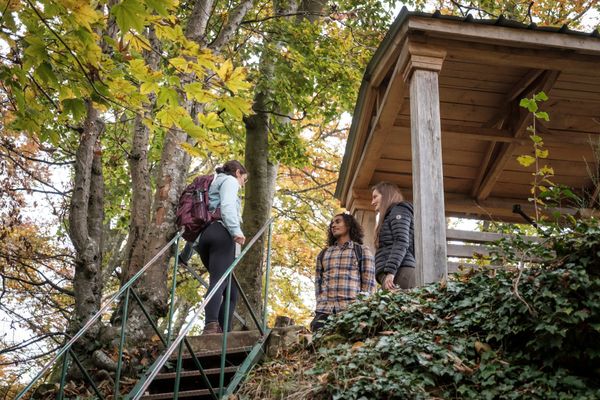
The hiking trail Kampéngchen takes you from from Bourglinster to Imbringen and Eisenborn-Déiwendall. After that you pass through the forest Kampéngchen and after that over the plateau. The trail runs back to the starting point on natural paths and through rustic, seldomly managed forest.

Suggestions nearby

Local hiking trail - J14

  • Parking - Castle Bourglinster
    Parking - Castle Bourglinster
    Find out more
  • ©Michal Hustaty
    Bourglinster Castle
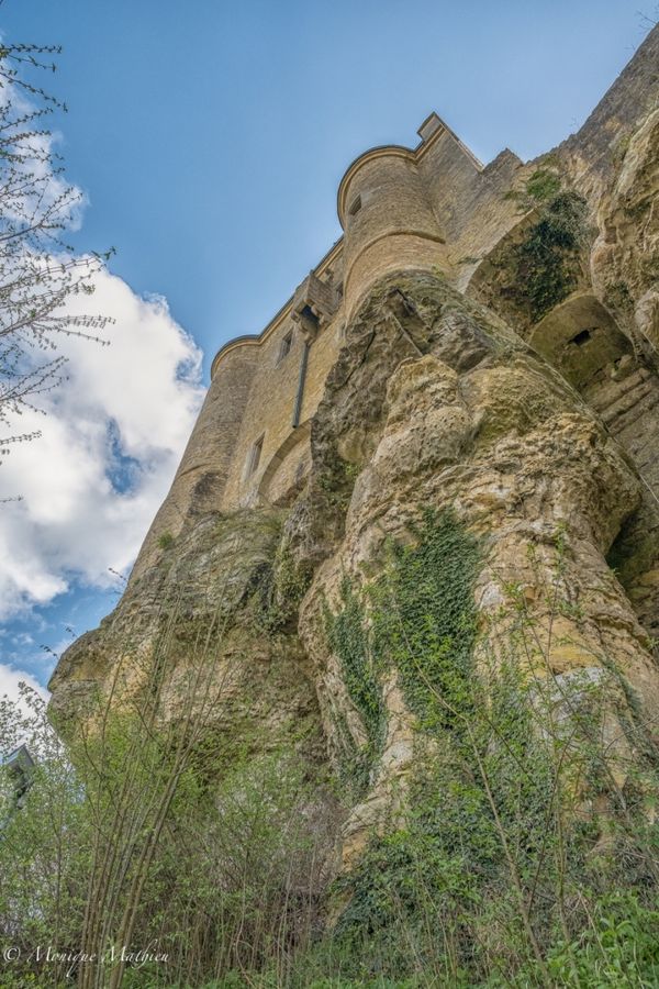
    Bourglinster Castle was built in the 12th century and acquired by the Luxembourg State in 1968, which carried out consolidation and restoration work until 1988.
    Find out more
  • Playground - Cité Neimillen
    Playground - Cité Neimillen
    Find out more
  • Playground of the school
    Playground of the school
    Find out more
  • Playground - Maison Relais
    Playground - Maison Relais
    Find out more
  • Playground - Rue de l'Ernz
    Playground - Rue de l'Ernz
    Find out more

Similar hiking tours

©Visit Luxembourg
Circular routes
Local hiking trail - J23
Distance: 8,37 km
Duration: 2:12 h
Difficulty: medium
Find out more
©Visit Luxembourg
Circular routes
Local hiking trail - J21
Distance: 5,21 km
Duration: 1:22 h
Difficulty: medium
Find out more
©Visit Luxembourg
Circular routes
Local hiking trail - J9
Distance: 10,97 km
Duration: 2:45 h
Difficulty: medium
Find out more
©Visit Luxembourg
Circular routes
Local hiking trail - J17
Distance: 11,02 km
Duration: 2:50 h
Difficulty: medium
Find out more
©Visit Luxembourg
Circular routes
Local hiking trail - L1
Distance: 2,25 km
Duration: 0:45 h
Difficulty: medium
Find out more
©Visit Luxembourg
Circular routes
Local hiking trail - C6
Distance: 5,88 km
Duration: 1:40 h
Difficulty: medium
Find out more
©ORTMPSL, ORTMPSL
Circular routes
Local hiking trail - B4
Distance: 6,13 km
Duration: 1:50 h
Difficulty: medium
Find out more
©Pancake! Photographie, Visit Mullerthal
Circular routes
Local hiking trail - E4
Distance: 10,99 km
Duration: 3:20 h
Difficulty: medium
Find out more
©Pancake! Photographie
Circular routes
Auto-Pédestre hiking trail Rosport
Distance: 9,69 km
Duration: 3:00 h
Difficulty: medium
Find out more
outdooractive This website uses technology and content from the Outdooractive Platform.