Description
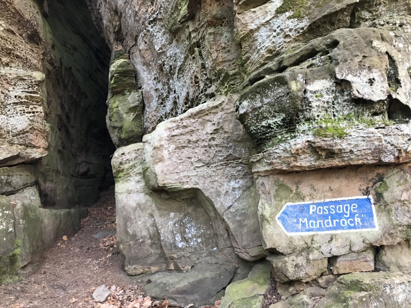
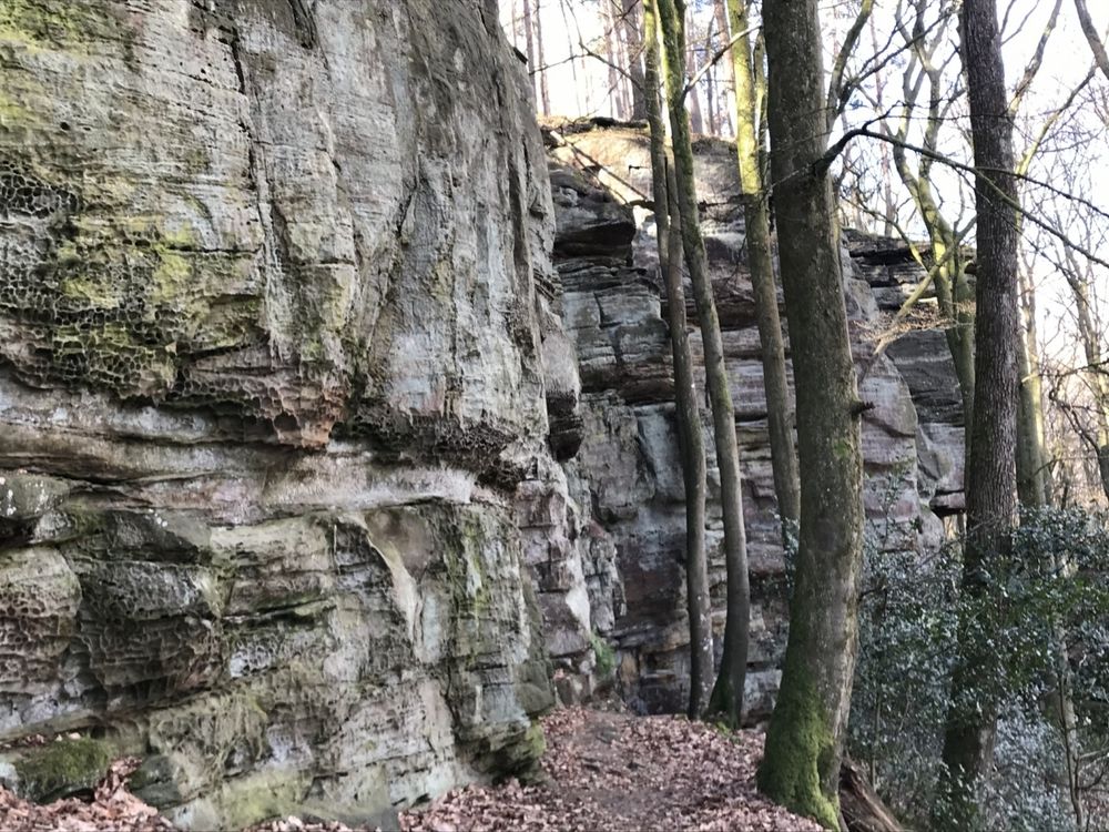
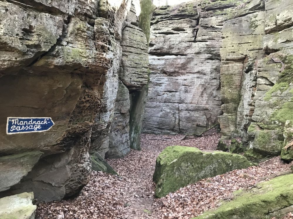
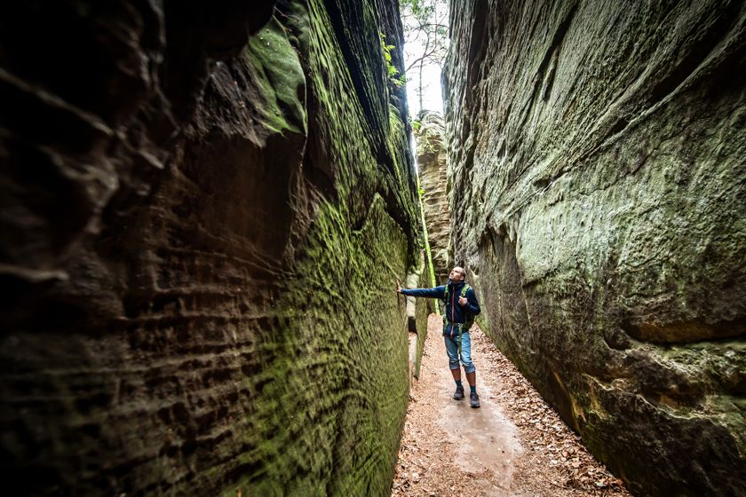
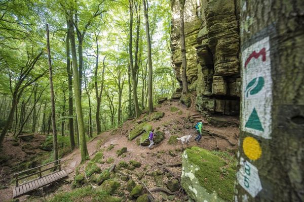
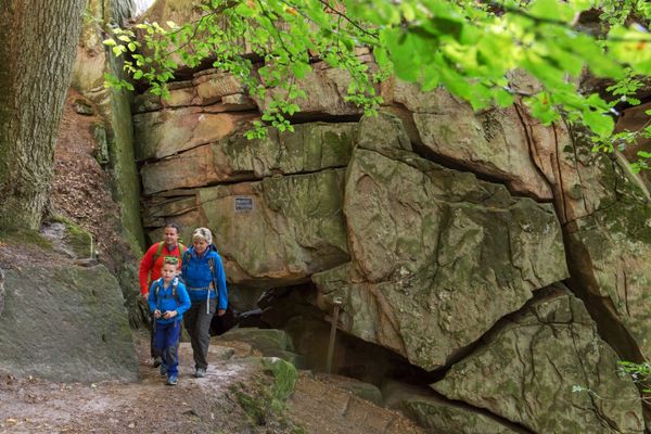
Varied hiking route through the rock (Mandrack Passage) with picturesque views into different valleys.
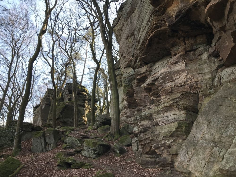
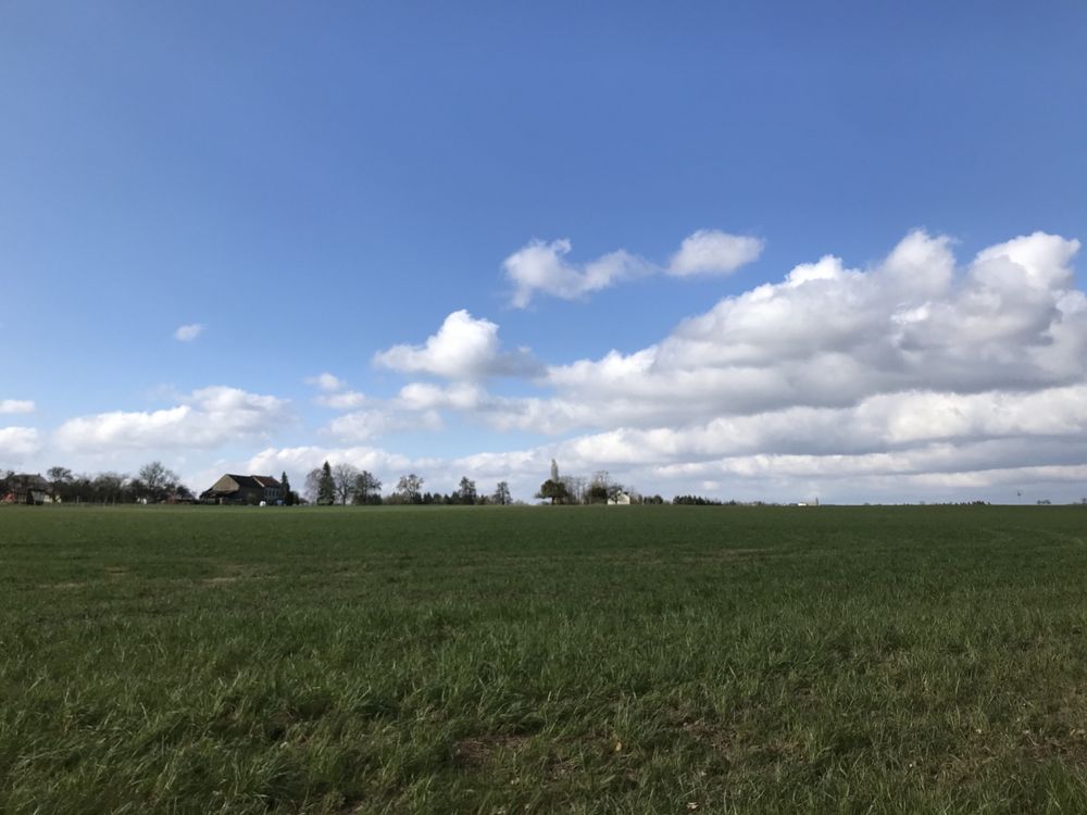
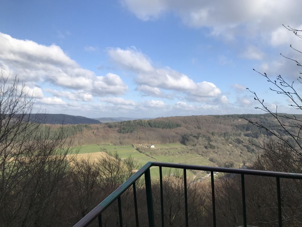
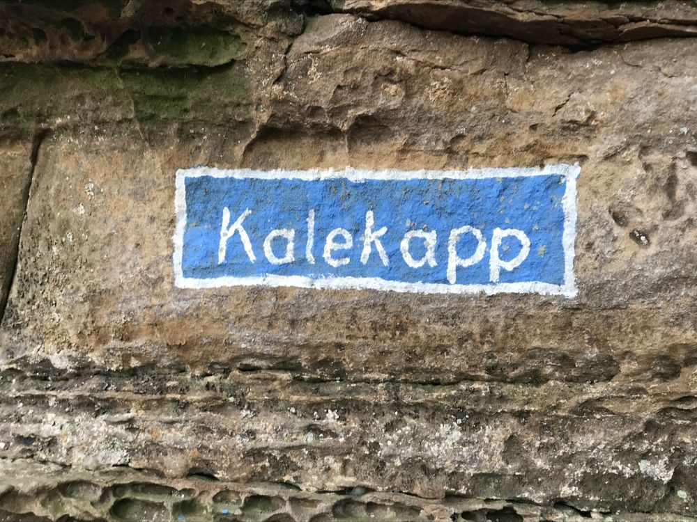
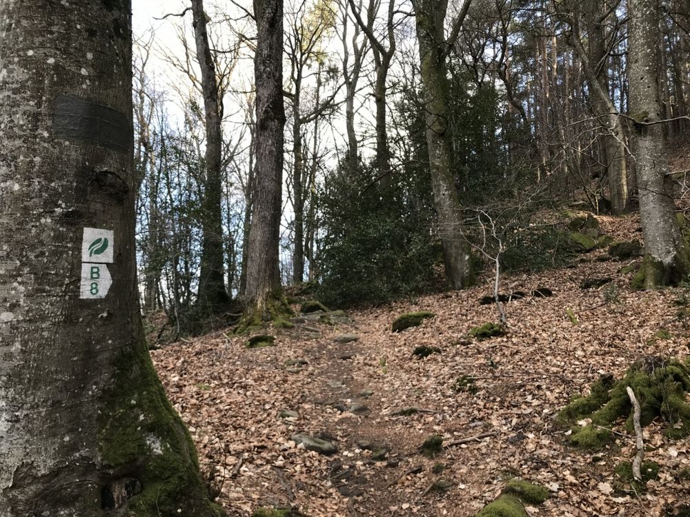
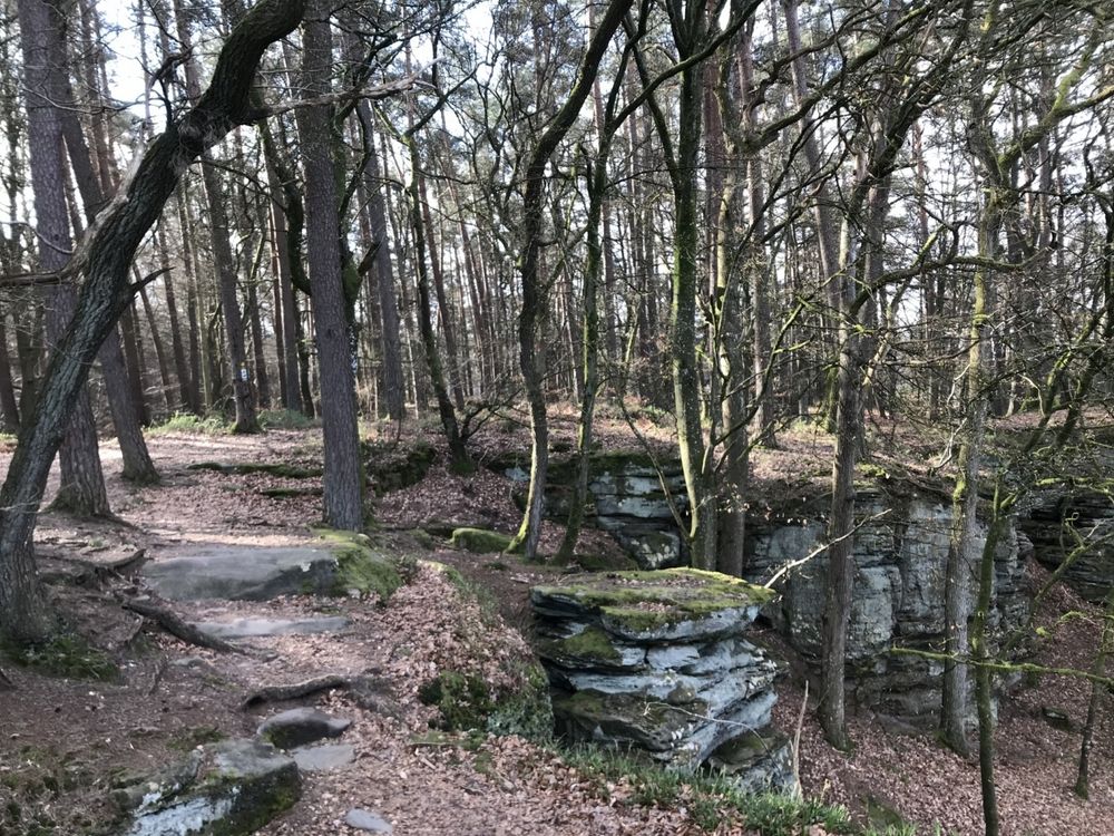
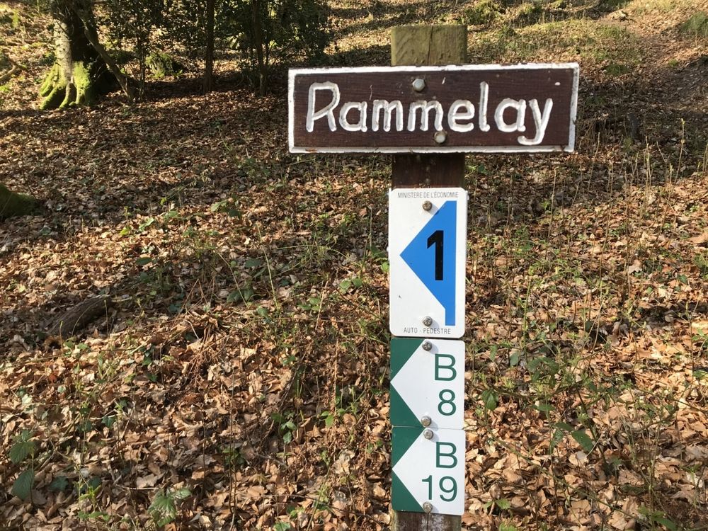
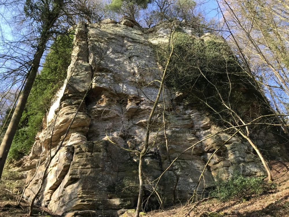
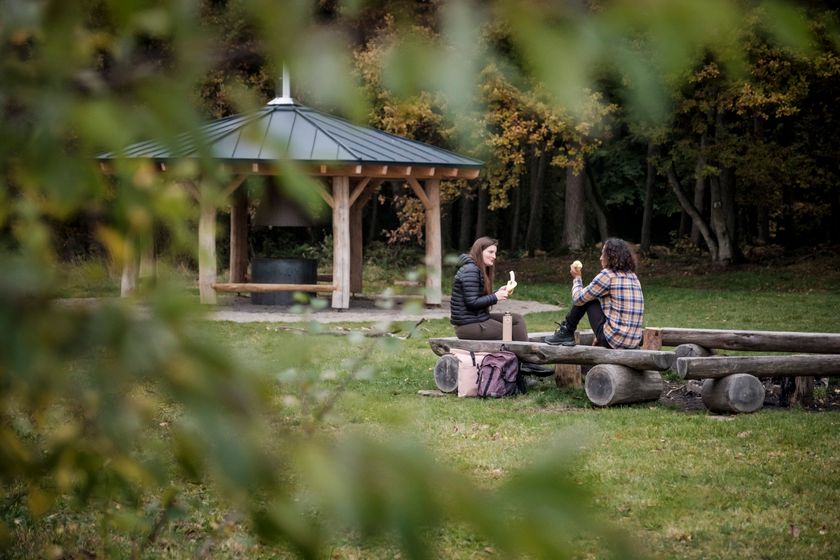
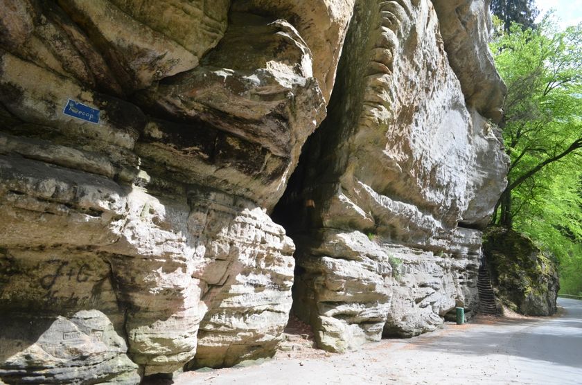
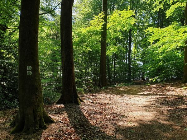
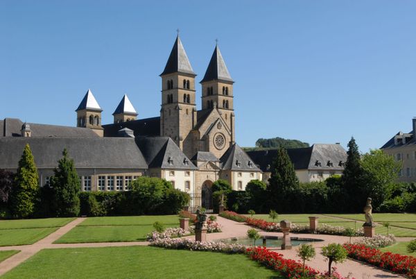
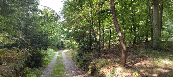
The B8 hiking route is the longest circular trail in Berdorf. The start and finish of this route are at a junction in the northeast of Berdorf. After about a kilometer through the fields, you reach the Grillplaaz, where you can have a barbecue and there are plenty of seats. From there, the route continues relatively flat through the forest towards Kaasselt, where you have a beautiful view over the valley. Along the rocks, it continues to the Mandrack Passage, a long, very narrow rock crevice, and the Kalekapp viewpoint. After the rocks of Rammelee, you reach Geierslee. From there, there is a magnificent panoramic view over Echternach before finally returning to the starting point along the rock formations of Zigeinerlee.
Signposting

Equipment
Sturdy footwear
Journey
Nearest bus stop: Berdorf, Hotel Herber
Getting there:
From Echternach via the N10, CR364 or from the capital via the E29, CR137
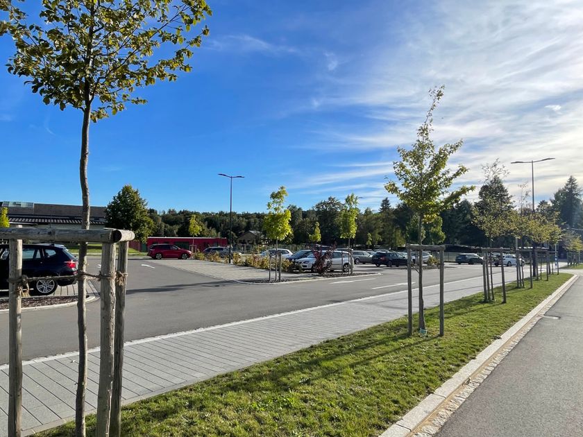
Parking:
A parking lot is located in the village center and near the cultural center (400m).


 This website uses technology and content from the Outdooractive Platform.