Hunting Season 2026/27 — Check for hunts

Autumn is here, and that means hunting season has begun! From mid-October to January/February, hunters are active across the country. Stay safe by checking hunt dates in your area on our Map. 

Click on Map in the Header > Services > More > Hunting.

Starting point

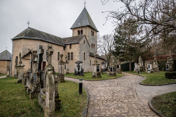
Godbrange: Pavilion by the church

Destination

Godbrange: Pavilion by the church

Distance
11,02 km
Duration
2:50 h
Difficulty
medium
  • Condition
Highest point
395 Hm
Lowest point
300 Hm
Aggregated Ascent
179 Hm
Aggregated Descent
179 Hm
Circular routes Visit Luxembourg

Description

Local hiking trail - J17

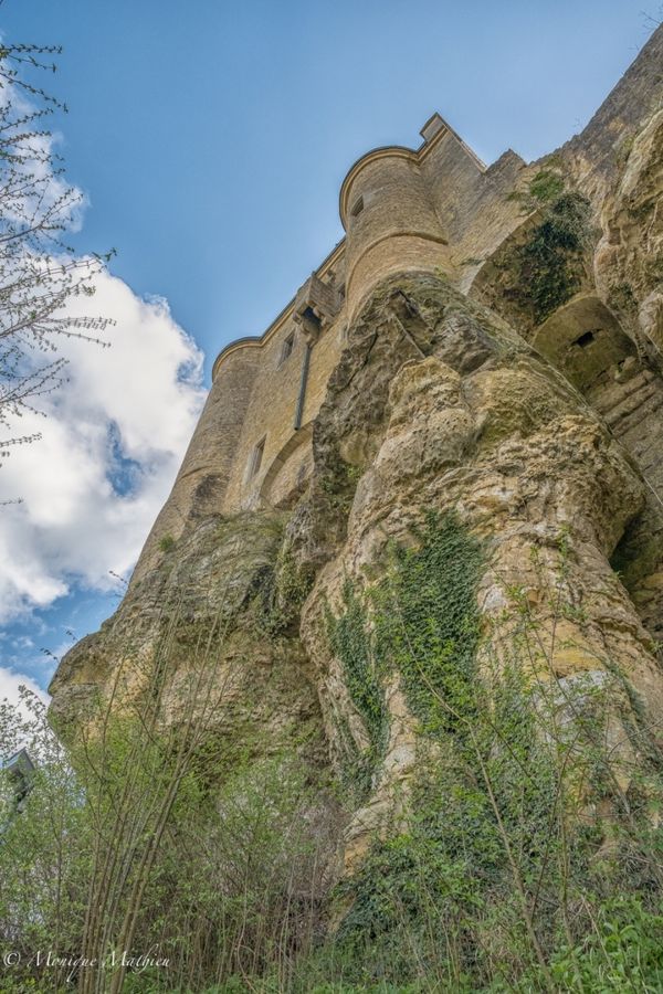
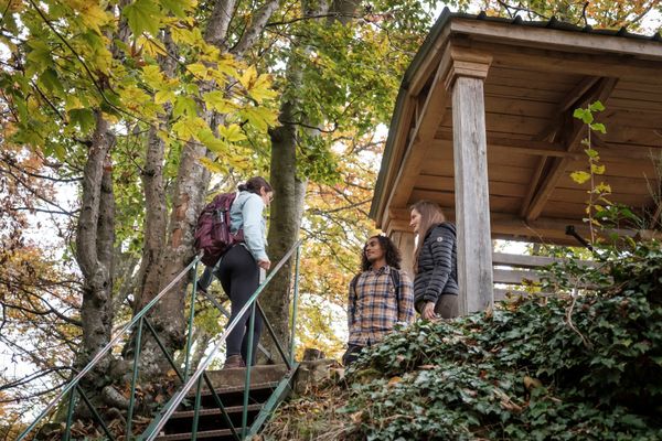
This diversified hiking trail leads through open landscapes around the villages of Goderange and Altlinster. Drom the viewpoint Bierger you enjoy a beautiful view over the valley. Then you walk through the mysterious forest of Härdchesbësch which is characterised by moss-covered rocks. Here, ancient grinding traces on the rocks from the Neolithic period can be found all over. There is also a Celtic cult site in Härdchesbësch, which gave birth to numerous legends and myths.

Suggestions nearby

Local hiking trail - J17

  • Playgound - Cité Kremerech
    Playgound - Cité Kremerech
    Find out more
  • Saint Martin church in Junglinster
    Visit the baroque church and the burial place of the Lords of Linster.
    Find out more
  • Playground - rue des champs / rue Semecht
    Playground - rue des champs / rue Semecht
    Find out more

Similar hiking tours

©Visit Luxembourg
Circular routes
Local hiking trail - J23
Distance: 8,37 km
Duration: 2:12 h
Difficulty: medium
Find out more
©Visit Luxembourg
Circular routes
Local hiking trail - J21
Distance: 5,21 km
Duration: 1:22 h
Difficulty: medium
Find out more
©Visit Luxembourg
Circular routes
Local hiking trail - J14
Distance: 14,58 km
Duration: 3:59 h
Difficulty: medium
Find out more
©Visit Luxembourg
Circular routes
Local hiking trail - J9
Distance: 10,97 km
Duration: 2:45 h
Difficulty: medium
Find out more
©Visit Luxembourg
Circular routes
Local hiking trail - L1
Distance: 2,25 km
Duration: 0:45 h
Difficulty: medium
Find out more
©Visit Luxembourg
Circular routes
Local hiking trail - C6
Distance: 5,88 km
Duration: 1:40 h
Difficulty: medium
Find out more
©ORTMPSL, ORTMPSL
Circular routes
Local hiking trail - B4
Distance: 6,13 km
Duration: 1:50 h
Difficulty: medium
Find out more
©Pancake! Photographie, Visit Mullerthal
Circular routes
Local hiking trail - E4
Distance: 10,99 km
Duration: 3:20 h
Difficulty: medium
Find out more
©Pancake! Photographie
Circular routes
Auto-Pédestre hiking trail Rosport
Distance: 9,69 km
Duration: 3:00 h
Difficulty: medium
Find out more
outdooractive This website uses technology and content from the Outdooractive Platform.