©ORT MPSL, Visit Luxembourg
Müllerthal Germany France

Local hiking trail - R8

Hunting Season 2025/26 — Check for hunts

Autumn is here, and that means hunting season has begun! From mid-October to January/February, hunters are active across the country. Stay safe by checking hunt dates in your area on our Map. 

Click on Map in the Header > Services > More > Hunting.

Starting point

Steinheim: Rue de la Montagne (Centre culturel "Fraihof")

Destination

Steinheim: Rue de la Montagne (Centre culturel "Fraihof")

Distance
8,71 km
Duration
2:30 h
Difficulty
medium
  • Condition
Highest point
364 Hm
Lowest point
154 Hm
Aggregated Ascent
230 Hm
Aggregated Descent
230 Hm
Circular routes Visit Luxembourg

Description

Refreshment stops available

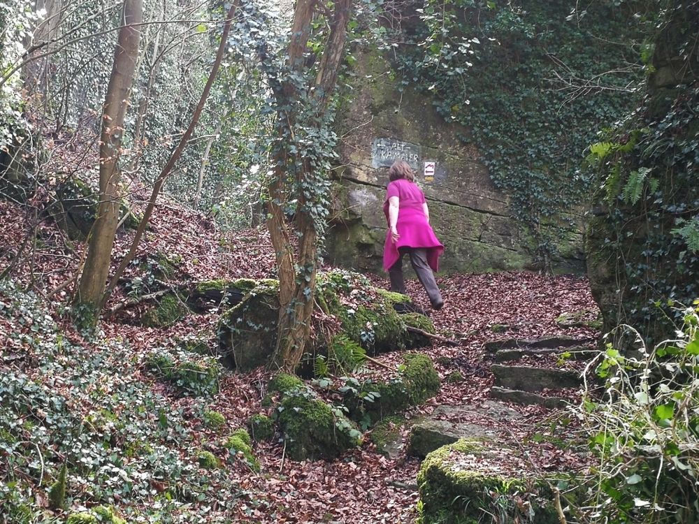
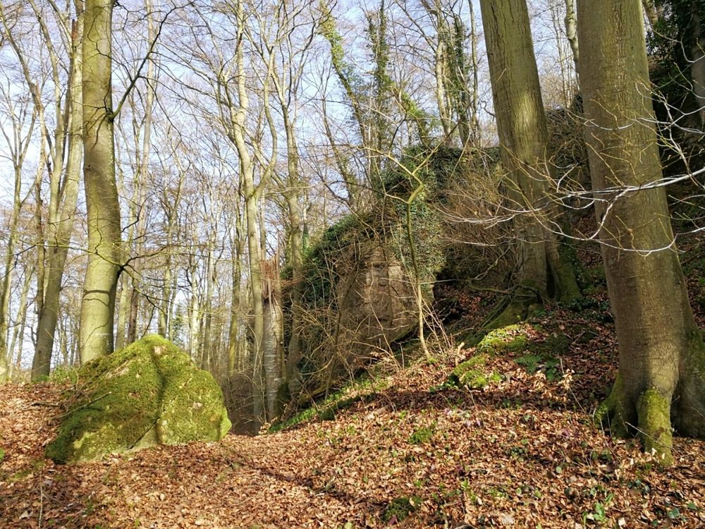
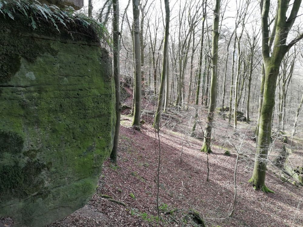
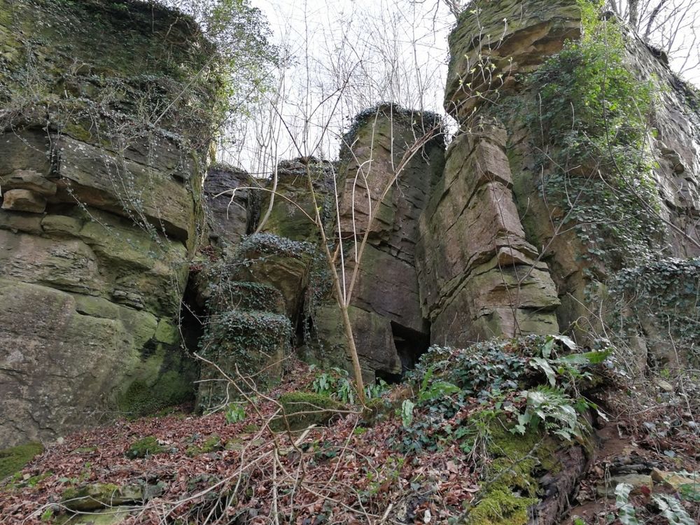
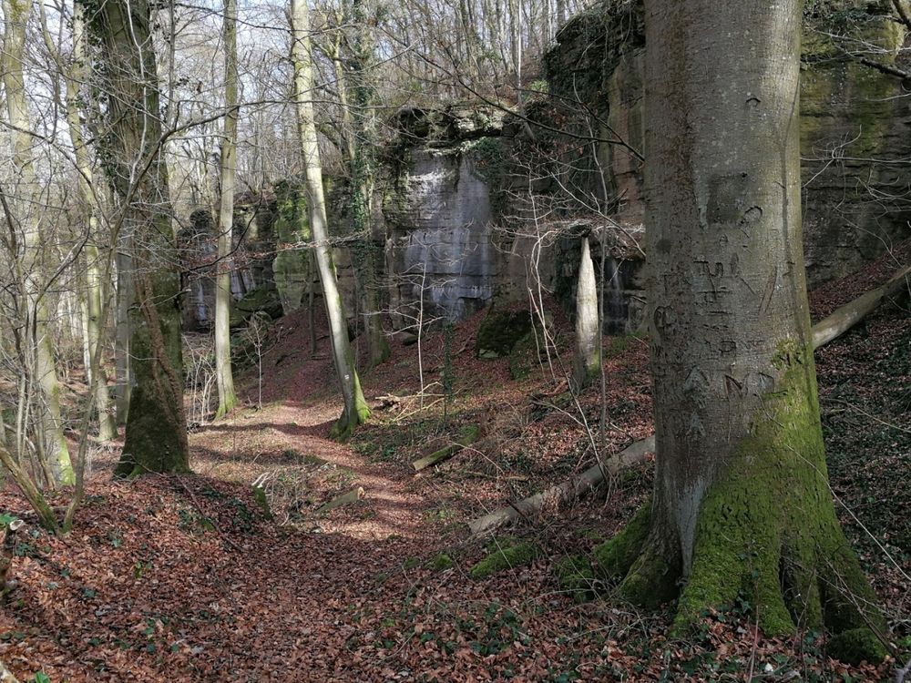
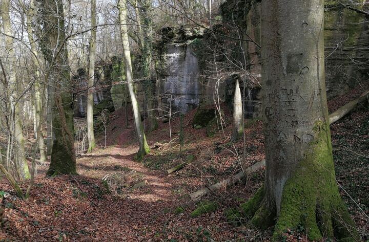
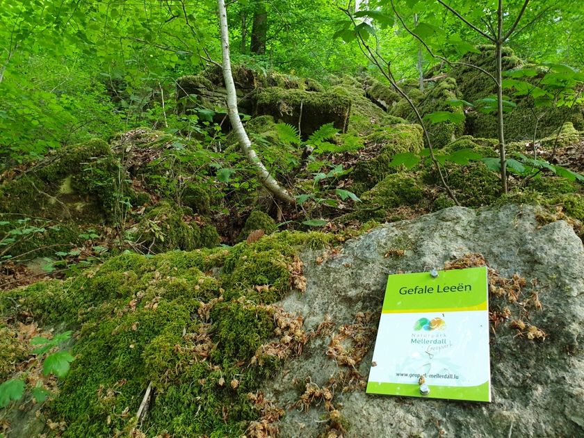
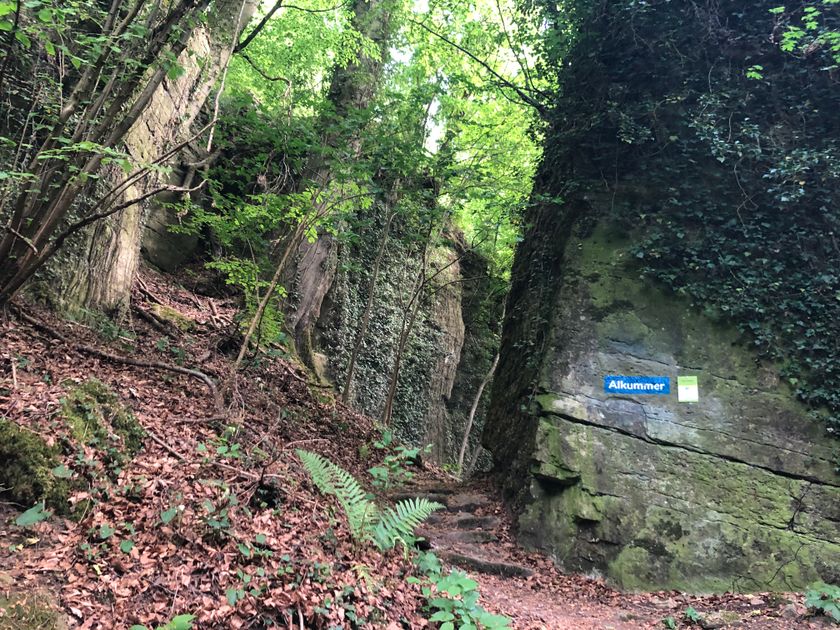
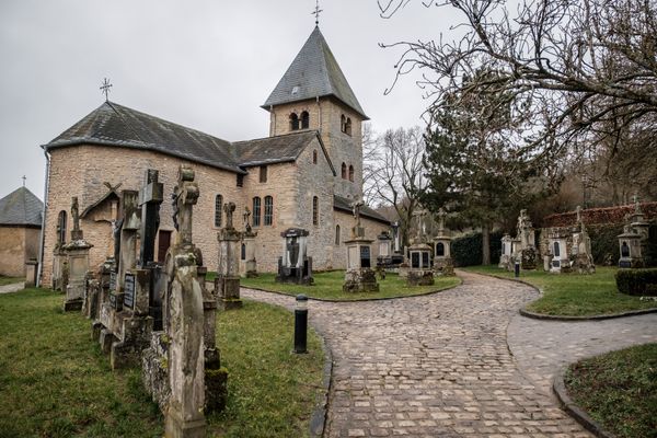
Varied circular route with geological highlights such as the Alkummer - a rock gorge with high walls where you feel like you are in a stone room.

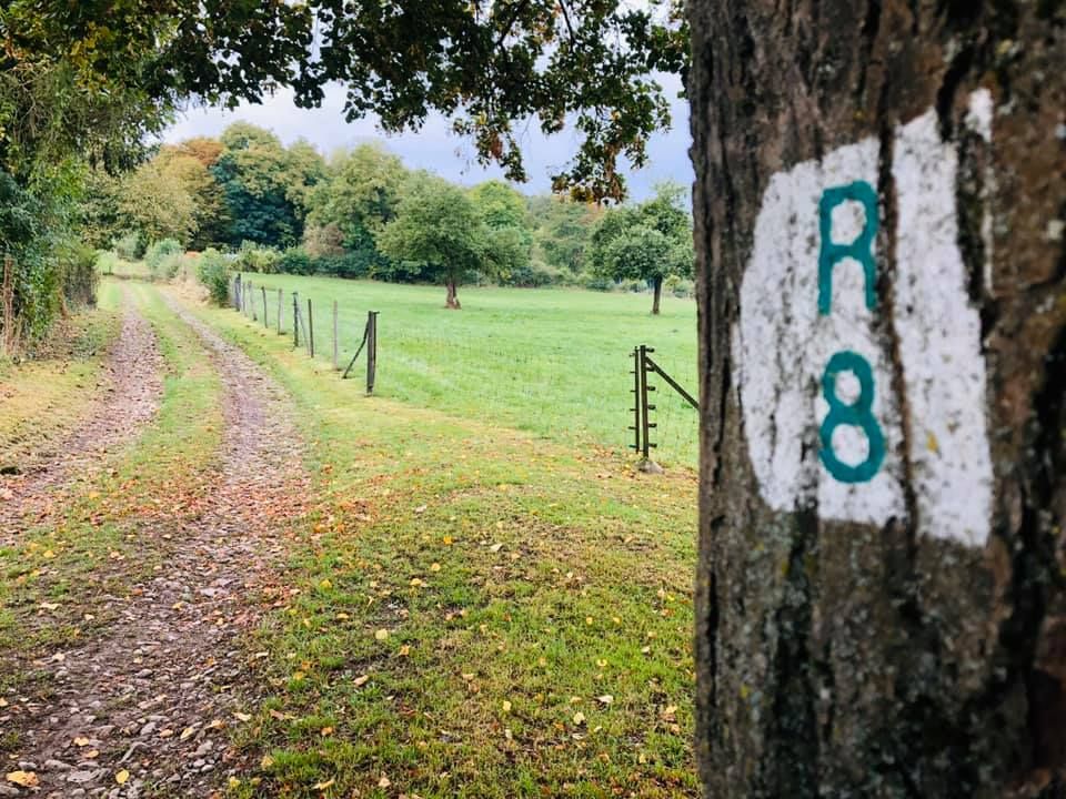
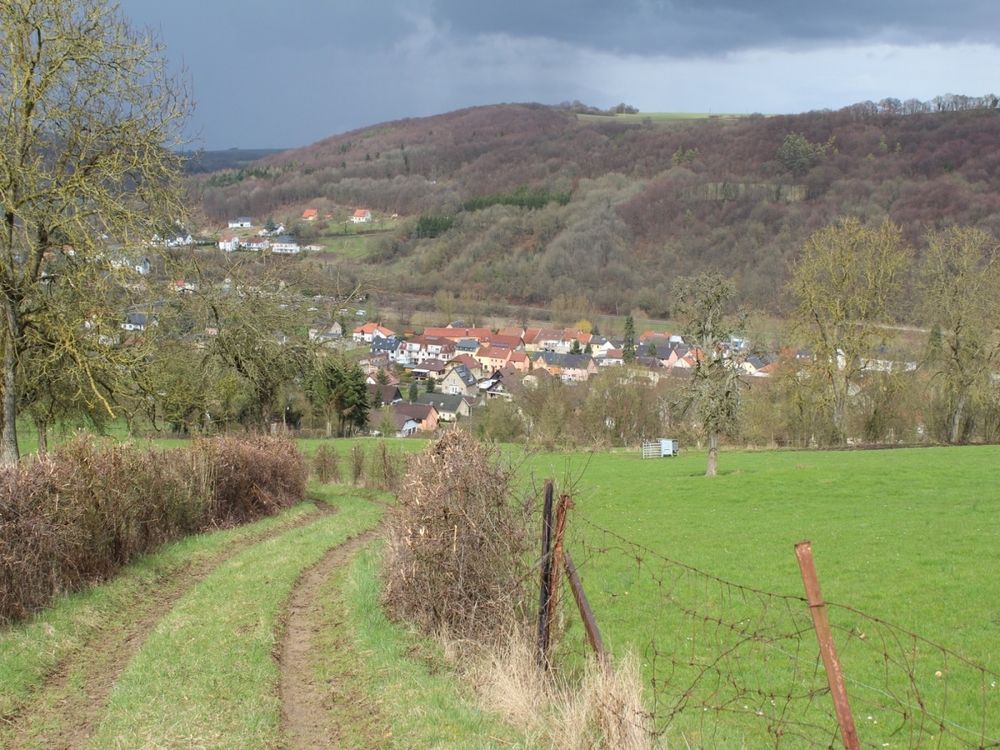
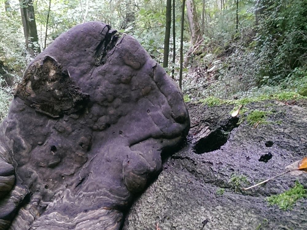
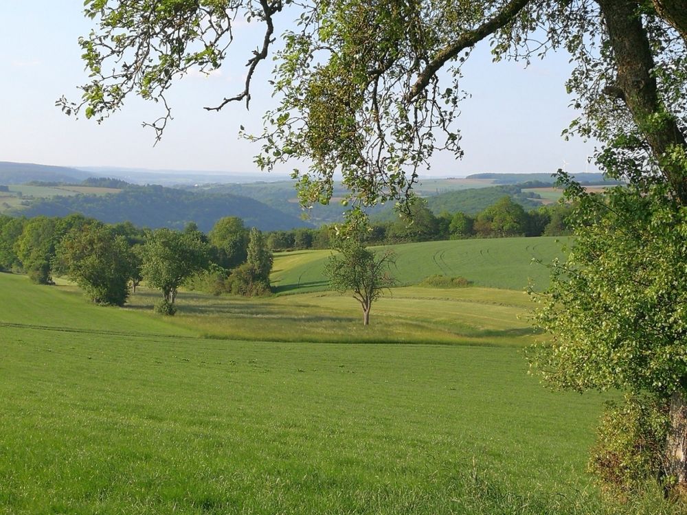
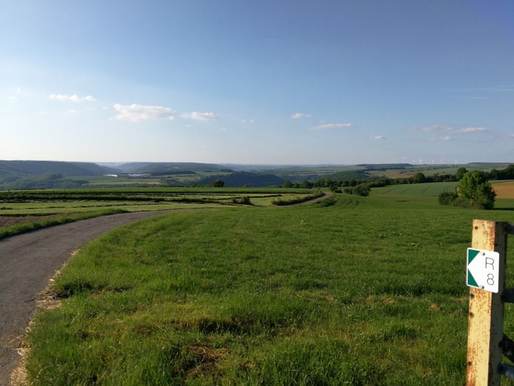
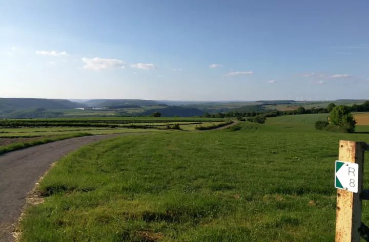
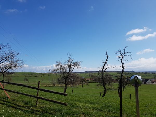
The approximately 9 km long loop offers the hiker a varied circular route with ever new aspects of the typical landscape at the Untersauer. Immediately after the start, unique old village paths (Peedercher) are traversed. Along the way, the hiker can enjoy great views of the Sauer valley. The highlight is the 360-degree panoramic view at the highest point of the hike. Beautiful are the tent-like beech forests as well as the dolomite rocks and their moss-covered scree fields.

Suggestions nearby

Local hiking trail - R8

  • ©ORT MPSL
    Rock formation "Alkummer"
    Impressive dolomite rock gorge on the local circular hiking trail R8 and on Mullerthal Trail Route 1.
    Find out more
  • ©Biowenzer Roeder
    Maison viticole Roeder
    Maison viticole Roeder
    Find out more
  • Rock formation "Gefale Leeën"
    Imposing rock formation made of "fallen" rocks.
    Find out more
  • Picnic area Steenemer Bierg
    Picnic area Steenemer Bierg
    Find out more
  • ©Hotel Gruber
    Restaurant Gruber
    Restaurant Gruber
    Find out more

Similar hiking tours

©Visit Luxembourg
Thematic paths
Circular hiking trail through the Deiwelskopp nature reserve
Distance: 8,50 km
Duration: 2:27 h
Difficulty: medium
Find out more
©Visit Luxembourg
Circular routes
Local hiking route - F2
Distance: 8,21 km
Duration: 2:30 h
Difficulty: medium
Find out more
©Tom Barnich, Visit Berdorf
Circular routes
Local hiking trail - B17
Distance: 6,14 km
Duration: 1:40 h
Difficulty: medium
Find out more
©Visit Luxembourg
Thematic paths
Didactic nature path "Joffer Margot"
Distance: 6,88 km
Duration: 2:00 h
Difficulty: medium
Find out more
©Visit Luxembourg
Circular routes
Local hiking route - B12
Distance: 3,25 km
Duration: 0:55 h
Difficulty: medium
Find out more
©Visit Luxembourg
Circular routes
Local route - B10
Distance: 4,99 km
Duration: 1:20 h
Difficulty: medium
Find out more
©Visit Luxembourg
Thematic paths
Memorial Route
Distance: 20,46 km
Duration: 5:40 h
Difficulty: medium
Find out more
©L. Schömer, Visit Luxembourg
Circular routes
Auto-pédestre trail Bollendorf-Pont
Distance: 8,67 km
Duration: 2:40 h
Difficulty: medium
Find out more
©Visit Luxembourg
Circular routes
Auto-Pédestre hiking route Echternach Centre
Distance: 6,71 km
Duration: 2:00 h
Difficulty: medium
Find out more
outdooractive This website uses technology and content from the Outdooractive Platform.