
©ORT MPSL

Demolition of the Basilica

Where? L-6460 Echternach

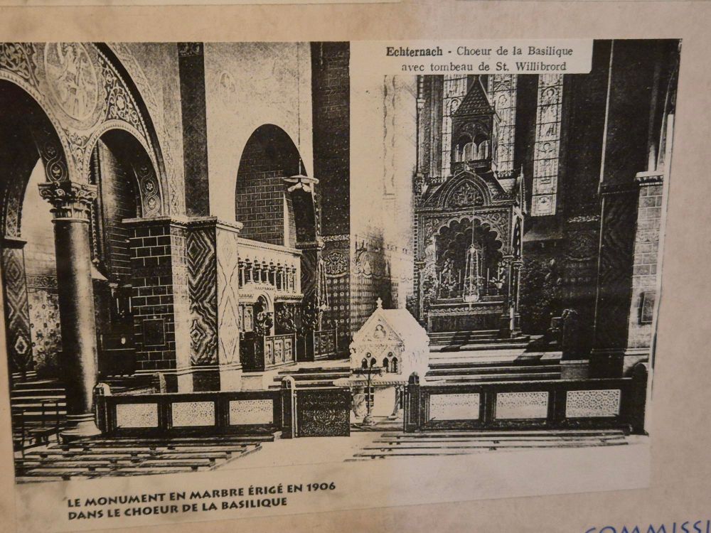
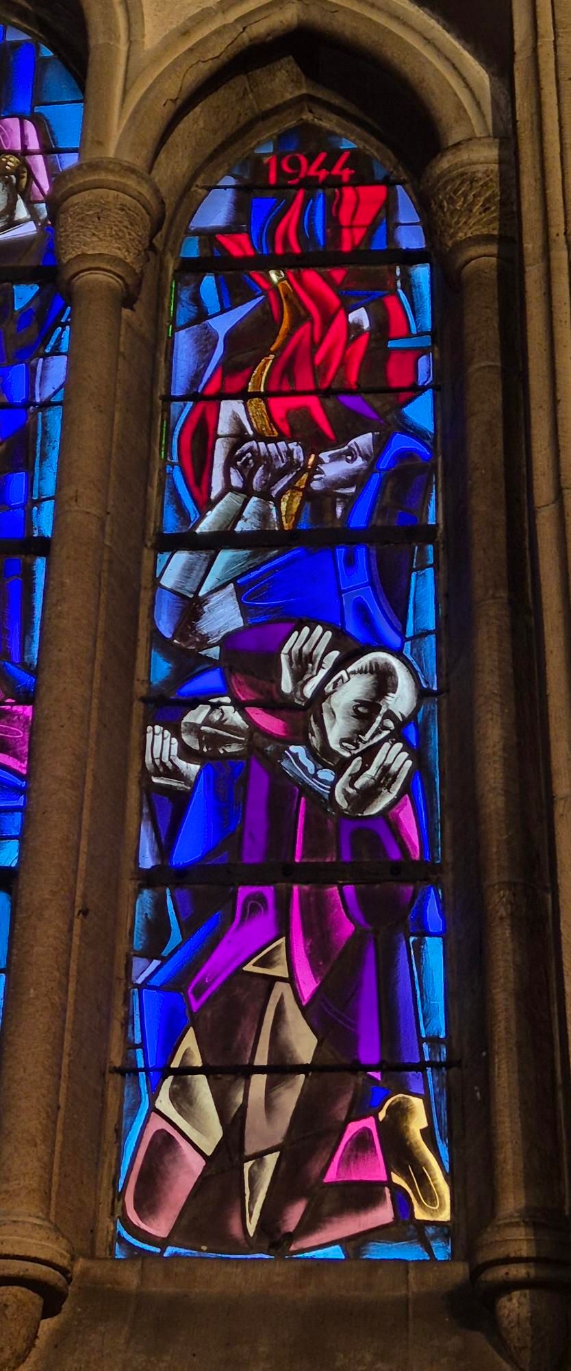
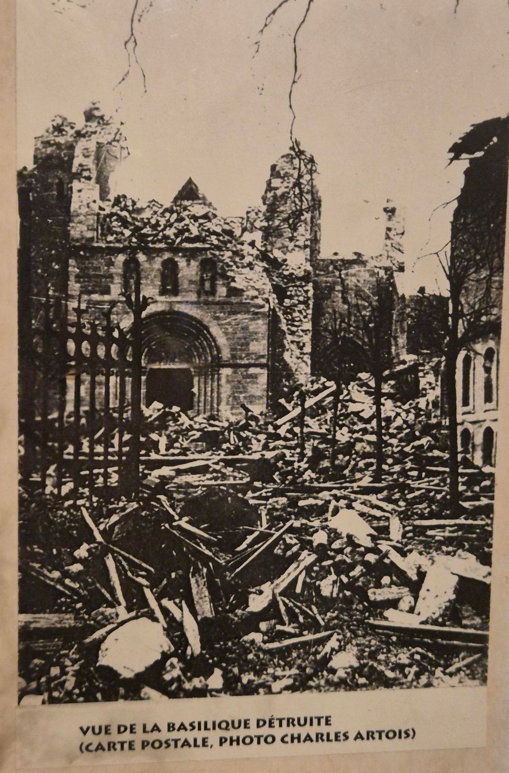
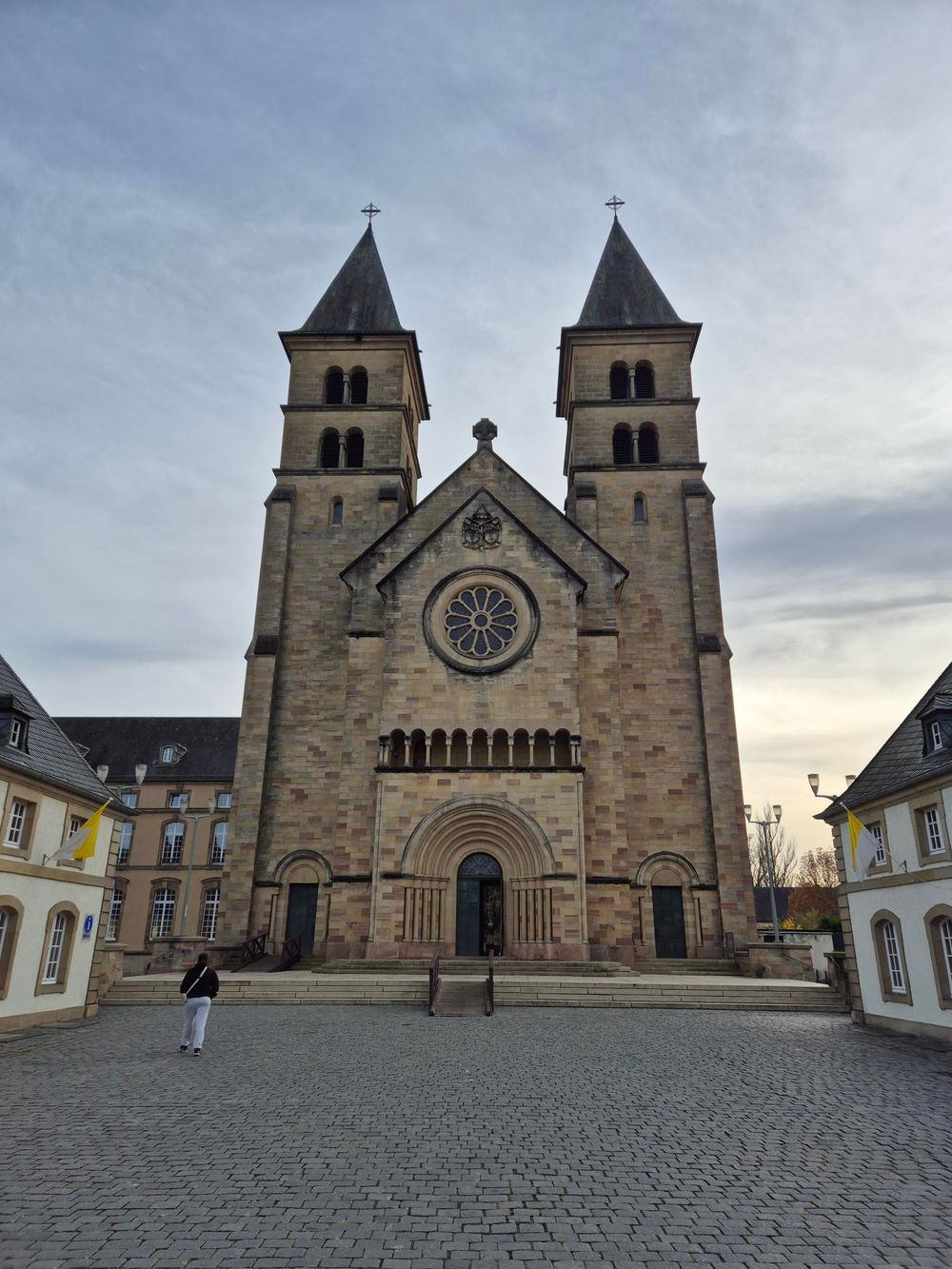
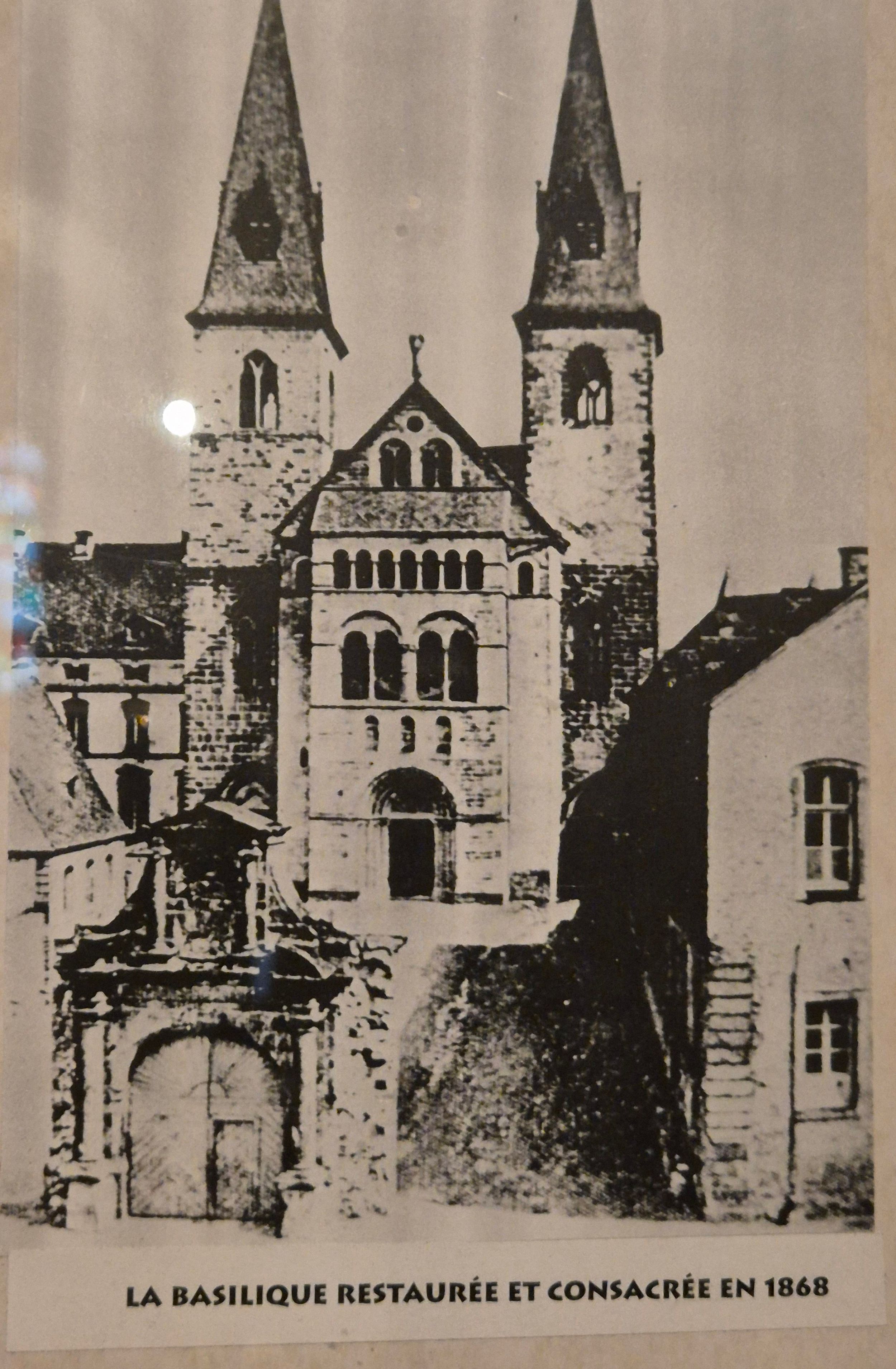
On 26 December 1944, the retreating German troops blew up the Basilica in Echternach.

On 26 and 27 December 1944, the Americans finally succeeded in taking Echternach and pushing the remaining German troops across the Sûre River into the bunkers of the Westwall.

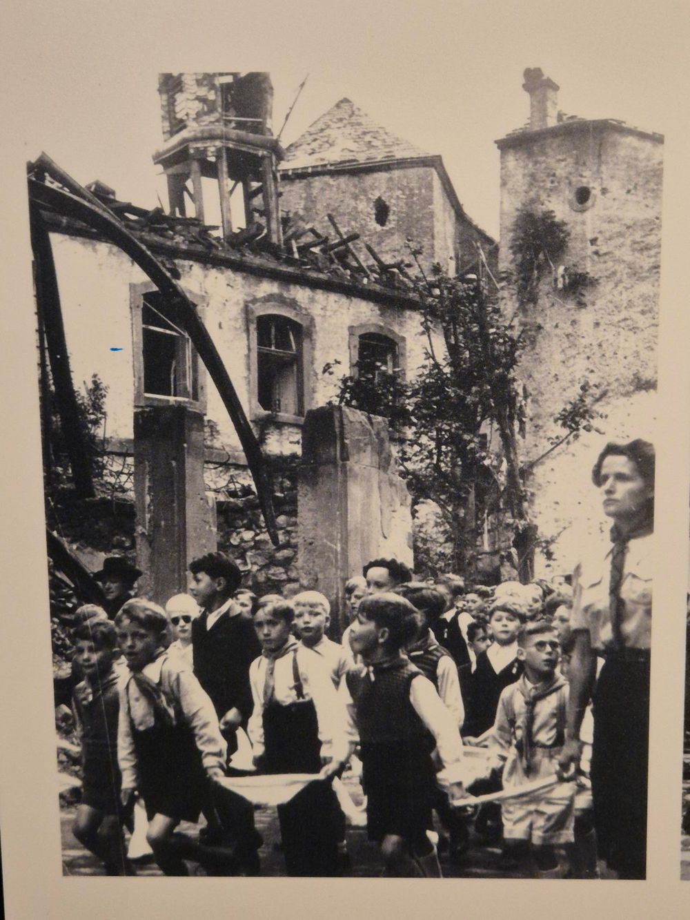
However, a dramatic event occurred during their retreat across the Sûre: the Basilica was blown up by German troops on 26 December 1944. This was an act of ‘revenge’ by the Wehrmacht, which had a profound emotional impact on the population of Echternach and the surrounding area. The Basilica is an important part of the local, regional and national cultural heritage, a symbol of the cult of Saint Willibrord and the Hopping Procession.

Numerous objects, including the organ, were destroyed in the explosion. All the bells of the basilica were smashed, including the Sebastian bell from 1512. A 19th-century mission cross was also almost completely destroyed.

The reason for the demolition must have been as follows: the order was to demolish the church towers as a precautionary measure to prevent the Allies from setting up observation posts there.

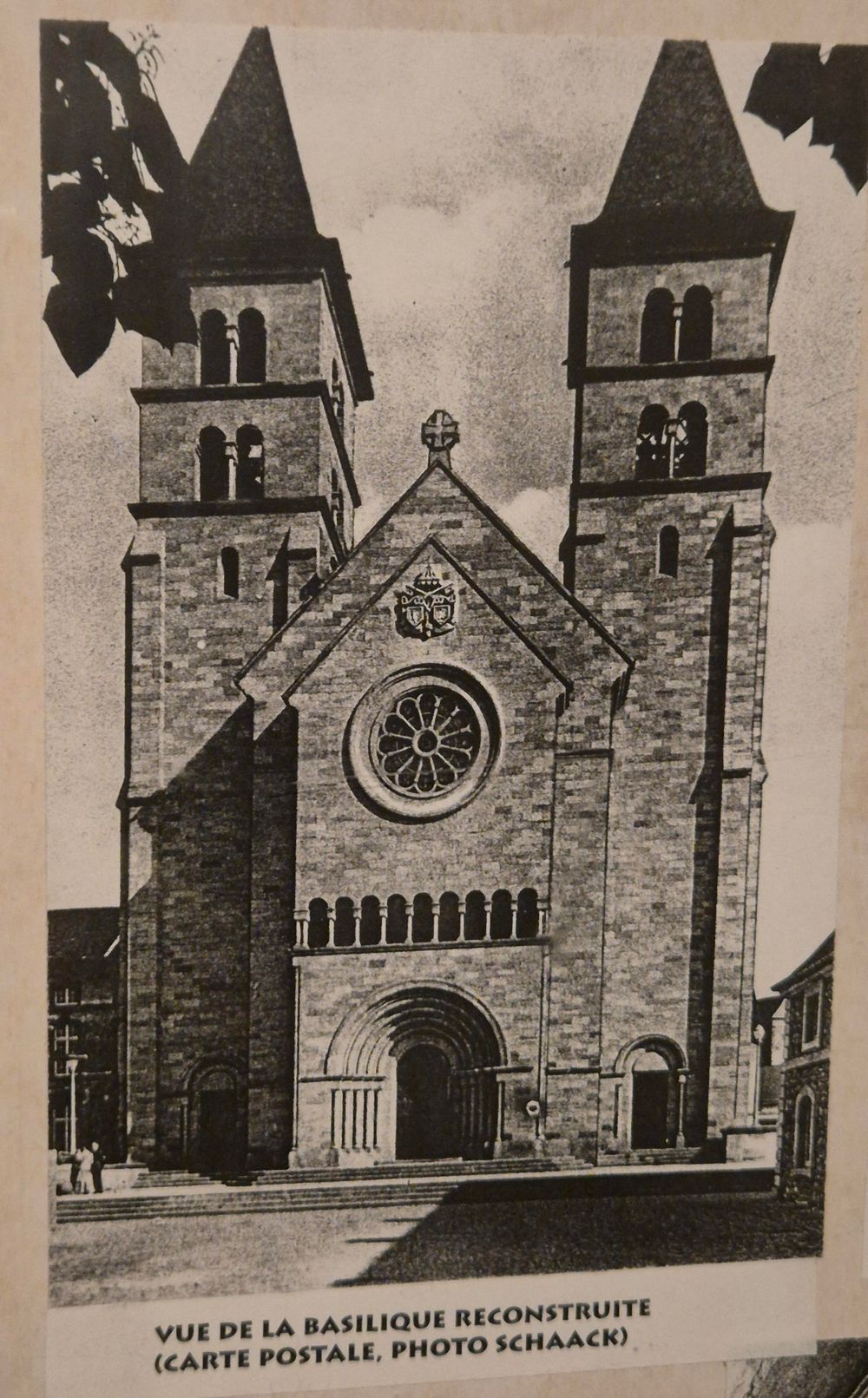
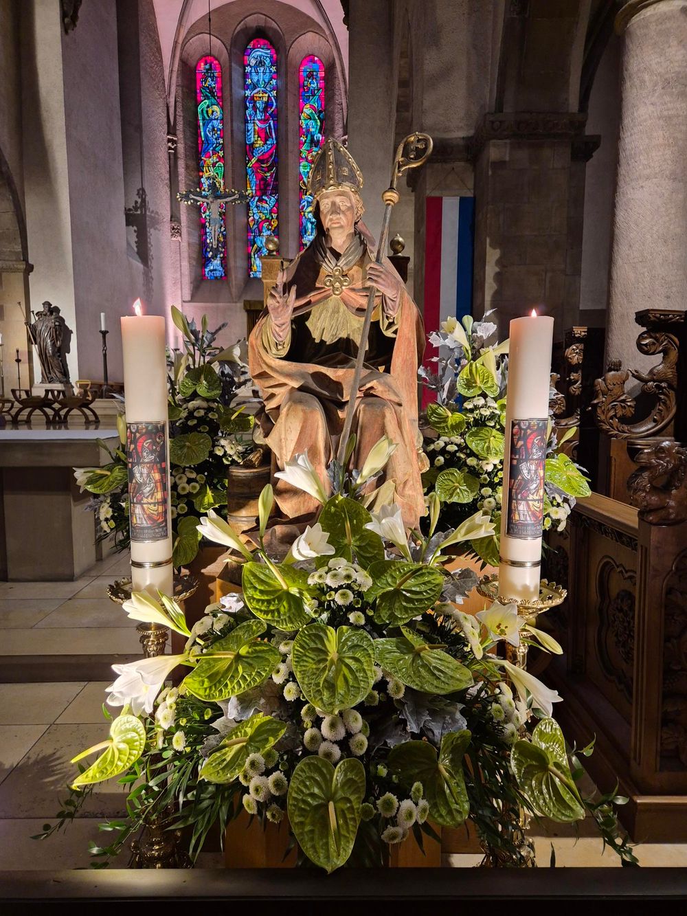
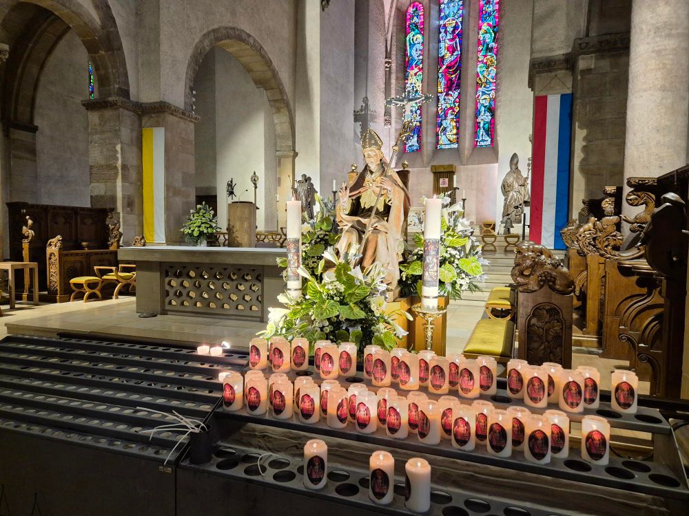
After the war, the Basilica was rebuilt and completed in the 1950s.
Contact

Address: St. Willibrord Basilica Echternach
L-6460 Echternach
Show on map

More sites

©Pancake! Photographie
Rock formation "Wollefsschlucht"
Imposing rock gorge with rock walls rising up to 50 m in height.
Find out more
Grundhof
Grundhof is idyllically situated at the confluence of the Black Ernz and the Sauer and, with its wooded valleys, is a beautiful starting point for exploring the varied landscapes of the Mullerthal Region.
Find out more
©Outdoor Freizeit Dillingen
Canoe and kayak Dillingen
Find out more
Horseride Tour 14 : Müllerthal Rundtour (36 km)
Find out more
Rock formation "Priedegtstull"
The impressive rock overhangs the road and offers an impressive view.
Find out more
©Pancake! Photographie
Tourist Info Larochette
Find out more
©(c) NGPM Elisabeth Medinger, (c) NGPM Elisabeth Medinger
Thematic paths
Geo-Pad Hëlt
Distance: 4,23 km
Duration: 1:30 h
Difficulty: easy
Find out more
©ORT MPSL
Fischbach
Fischbach lies amid a varied landscape of forests, rock formations and open countryside. Hiking trails such as ExtraTour E of the Mullerthal Trail, the Al Schmelz geosite and the Fischbach ponds make the village an interesting starting point for nature and hiking experiences.
Find out more
©Restaurant de l'Auberge Rustiqu
Restaurant de l'Auberge Rustique
Find out more