Description
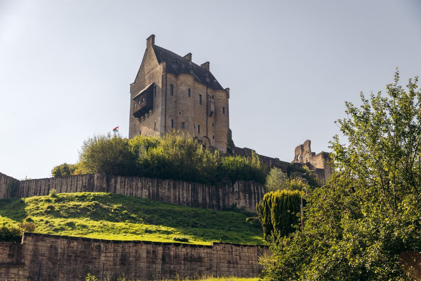
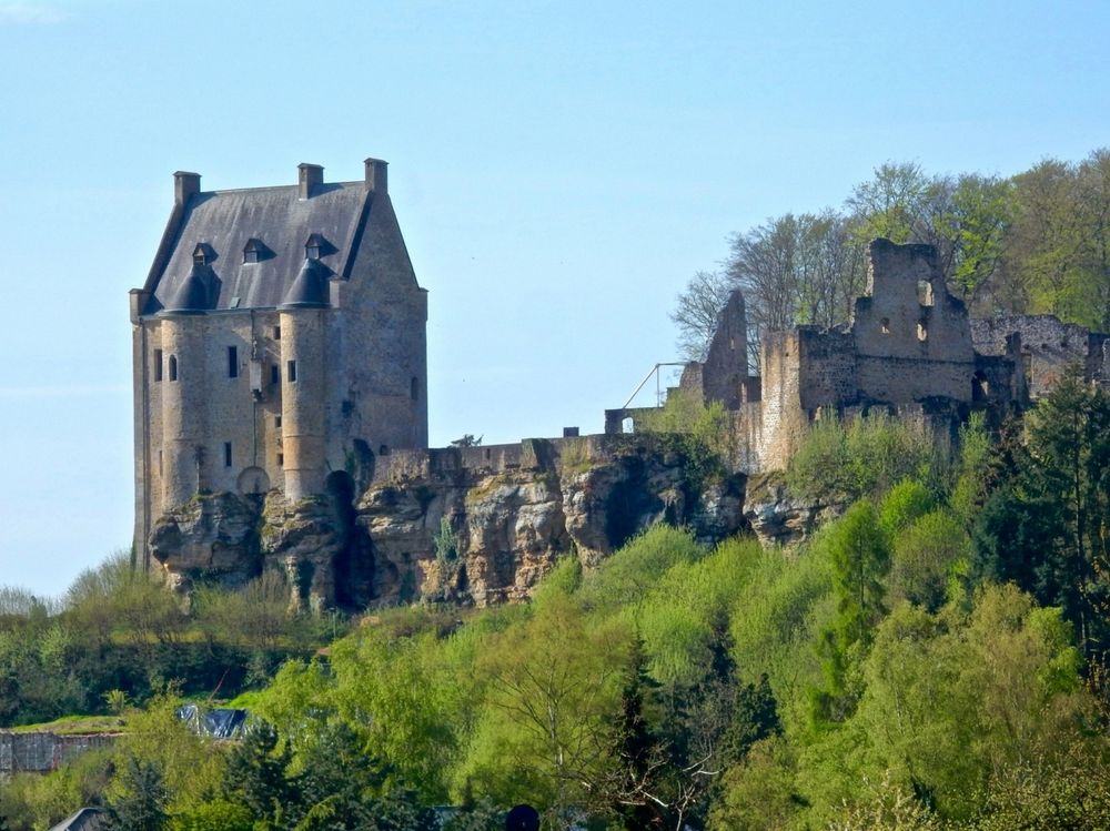
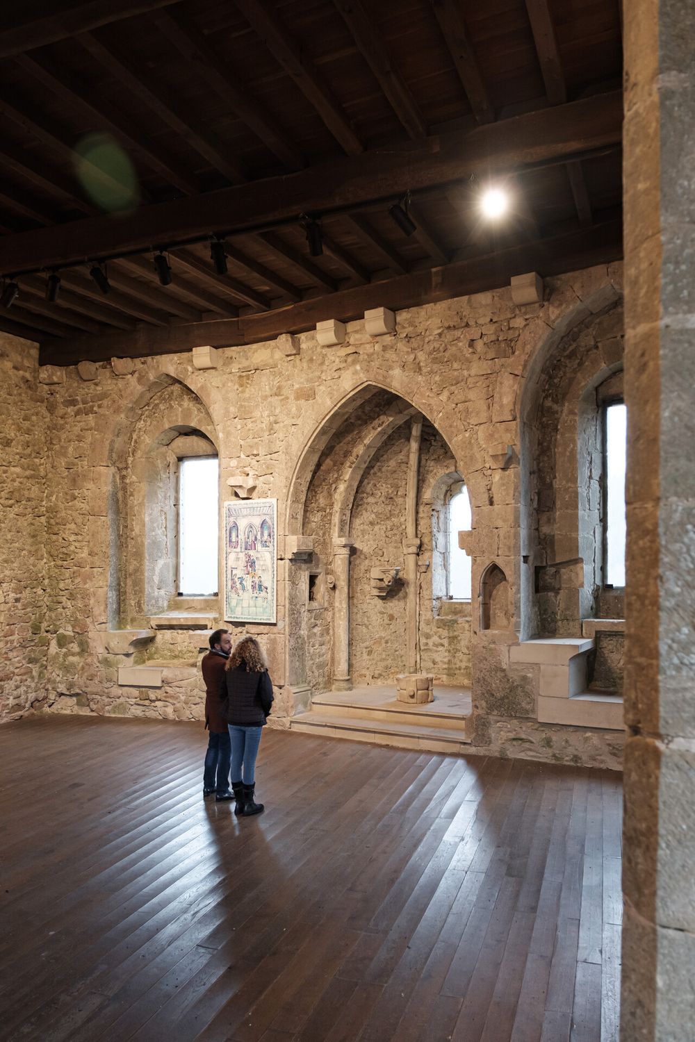
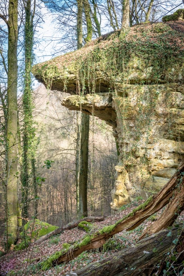
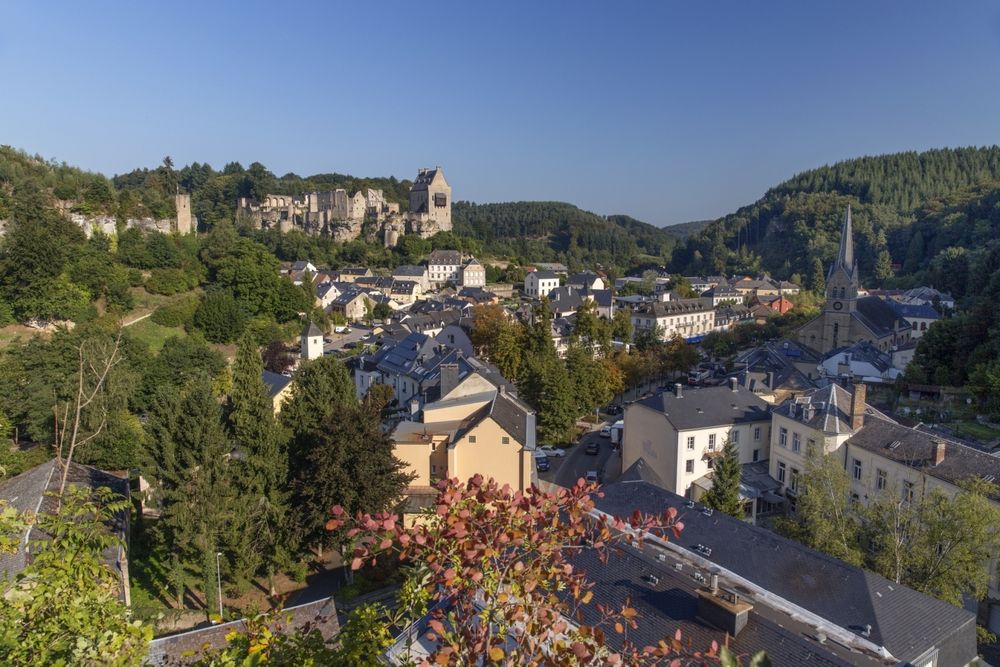
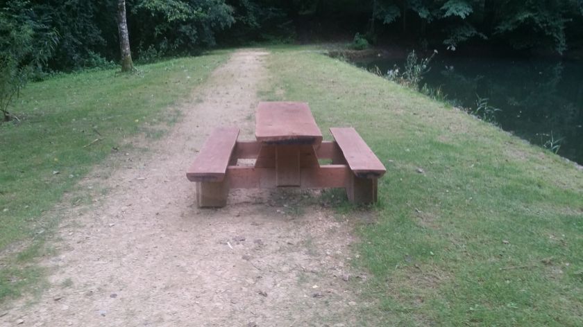
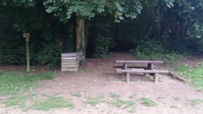
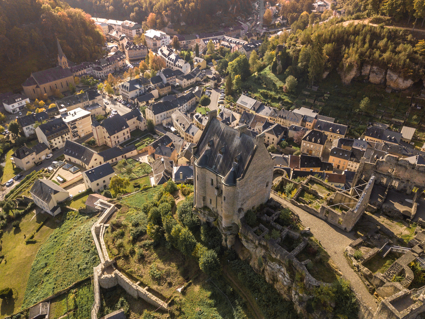
The hiking tour starts at the tourist information center in the village. From there, the path leads up to the castle, which offers beautiful views of Larochette. The castle can be explored. The trail continues through the forest to the Kengert campsite, where you can take a break. Passing the Eisenkimmerchen, the route follows the old Uelegsmillen mill back to the starting point. Along this section, the impressive castle remains constantly in view.
Signposting

Directions
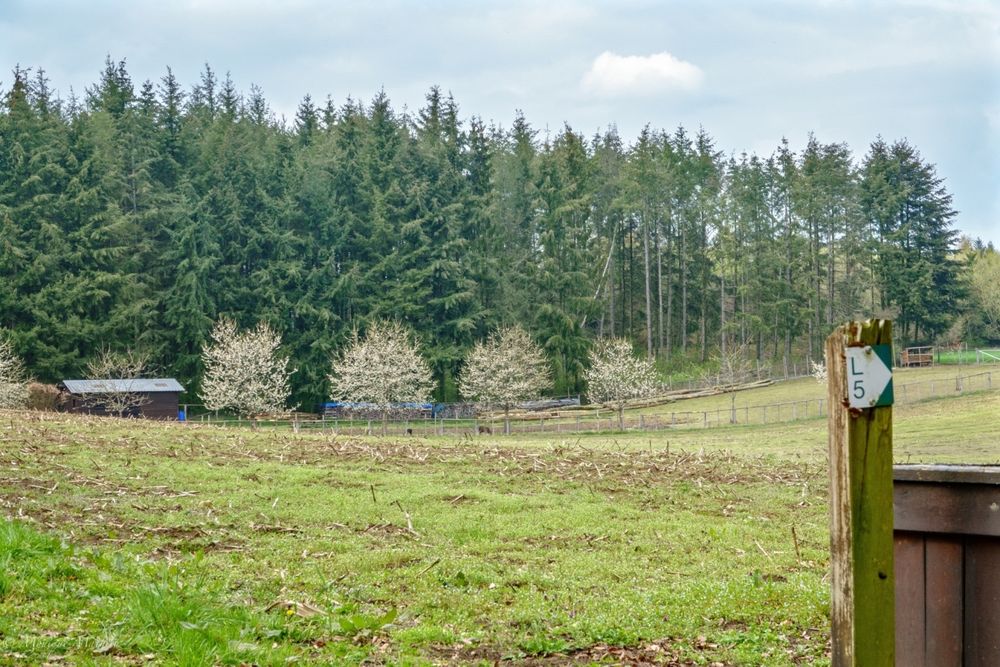
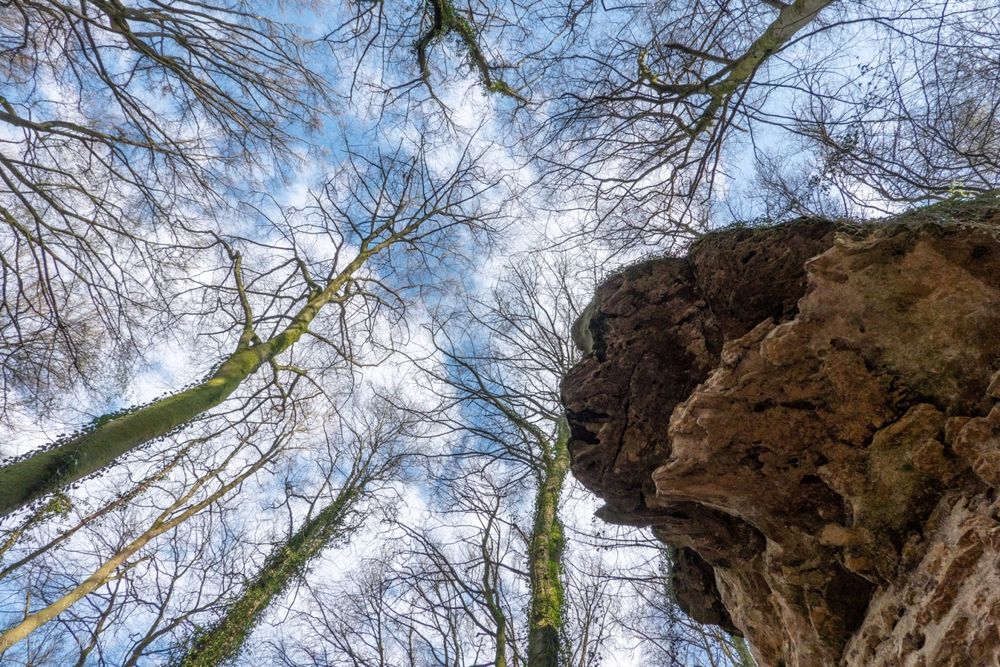
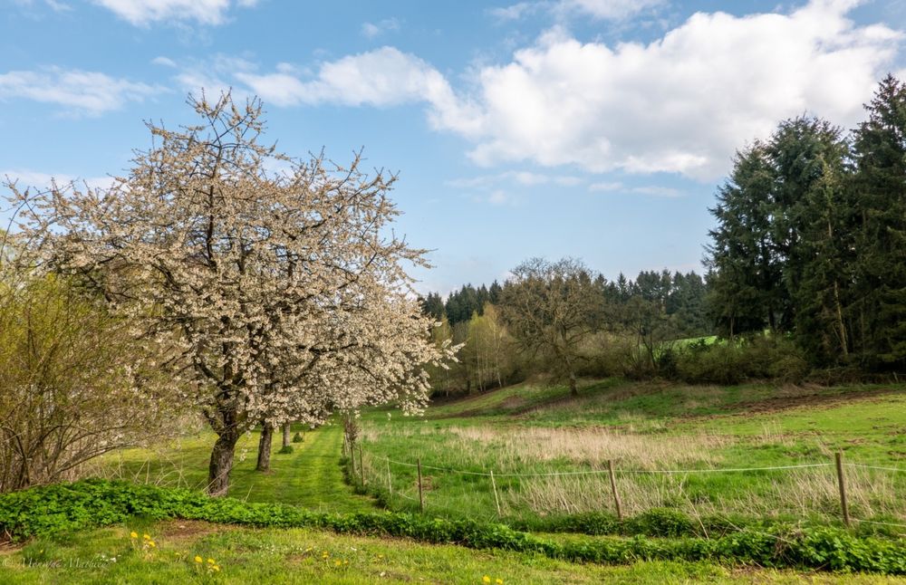
This hiking route mostly leads through forest area. First, it goes up from the Tourist Info to the castle, offering a beautiful view of the village. Then the path continues through the forest to Camping Kengert, with a place to stop for refreshments. Afterwards, it goes down over the Eisenkimmerchen into the valley. The return path leads past the Uelegsmillen mill back to the starting point.
Equipment
Sturdy footwear and something to drink.
Journey
Nearest bus stop: Larochette, Spuerkeess/Gare routière (right on site)
Parking:
Nearest parking: Schongfabrik (50 m)


 This website uses technology and content from the Outdooractive Platform.