Description
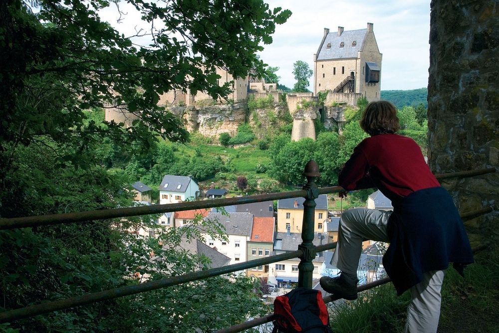
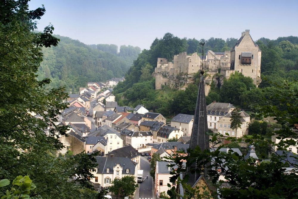
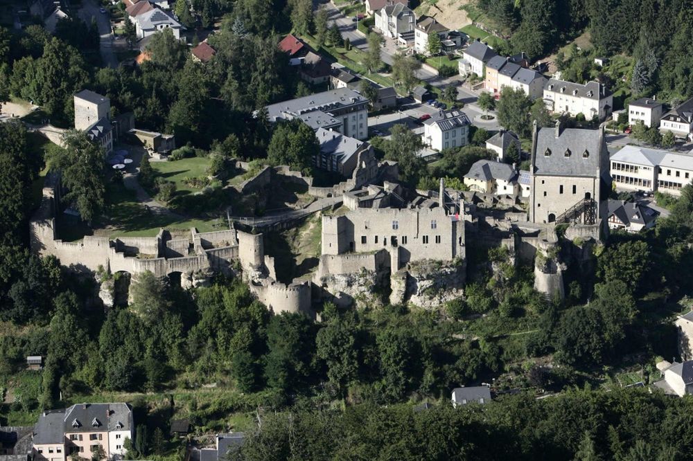
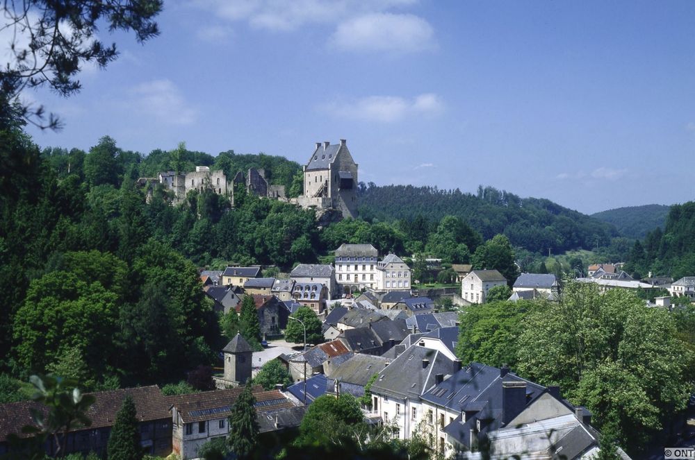
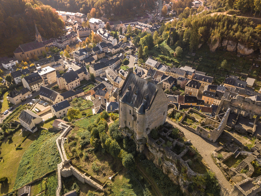
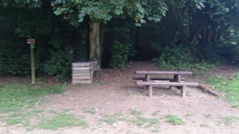
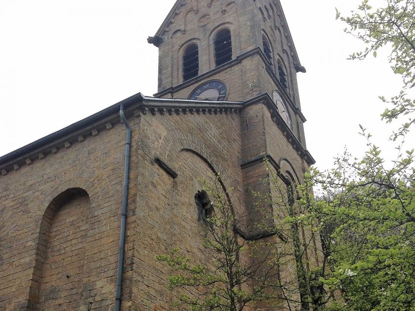
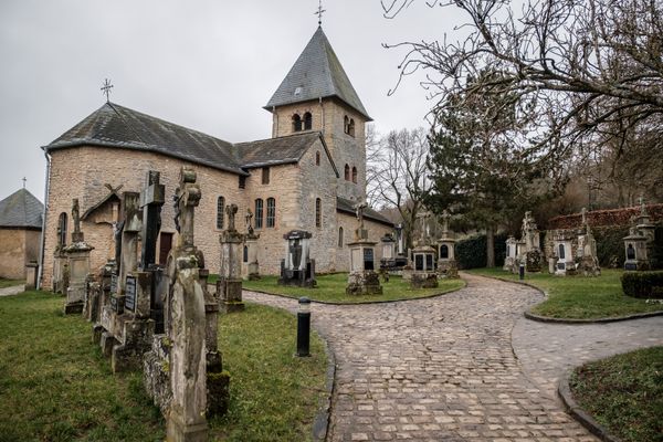
Soon after the start, there is a first steep climb to the "Verluerekascht," from where the first spectacular view of Fiels Castle opens up. Encouraged by the beautiful view, the route continues uphill a bit further until you have left Larochette behind for the first time. From here, it initially goes downhill again, past the "Ousterbuer" spring and back to Larochette. On the other side of the valley, the path climbs again, rewarded by an impressive view at the "Salzdeebelchen." This is a good spot for a final break before descending back to Larochette. On the way, you should definitely not miss the detour to the "Himmelsbierg" – which, as the name suggests, offers another heavenly view.
Equipment
Sturdy footwear and something to drink.
Journey
Nearest bus stop: Larochette, Spuerkeess/Gare routière (directly on site)
Parking:
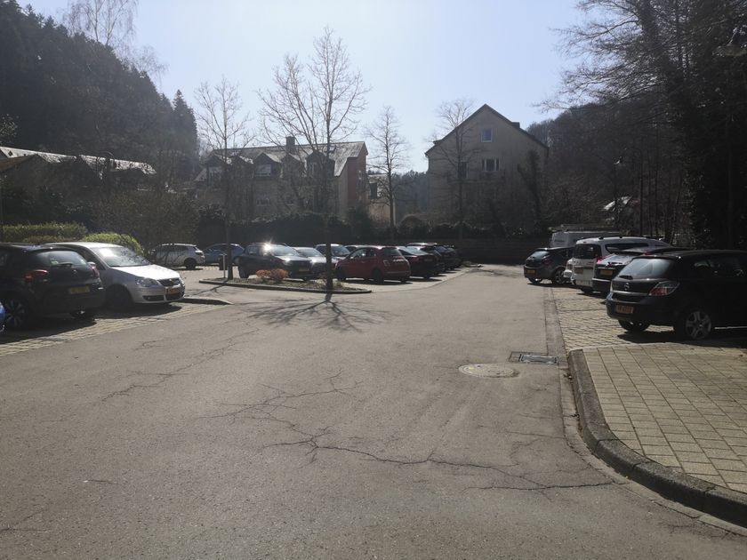
Nearest parking: Schongfabrik (50 m)


 This website uses technology and content from the Outdooractive Platform.