© Visit Luxembourg

Nature Discovery Trail "Wanterbach-Sieweschloeff"

Hunting Season 2025/26 — Check for hunts

Autumn is here, and that means hunting season has begun! From mid-October to January/February, hunters are active across the country. Stay safe by checking hunt dates in your area on our Map. 

Click on Map in the Header > Services > More > Hunting.

Starting point

Berdorf: Tourist Info

Destination

Berdorf: Tourist Info

Distance
3,04 km
Duration
1:30 h
Difficulty
medium
  • Condition
Highest point
363 Hm
Lowest point
316 Hm
Aggregated Ascent
47 Hm
Aggregated Descent
47 Hm
Thematic paths Visit Luxembourg

Description

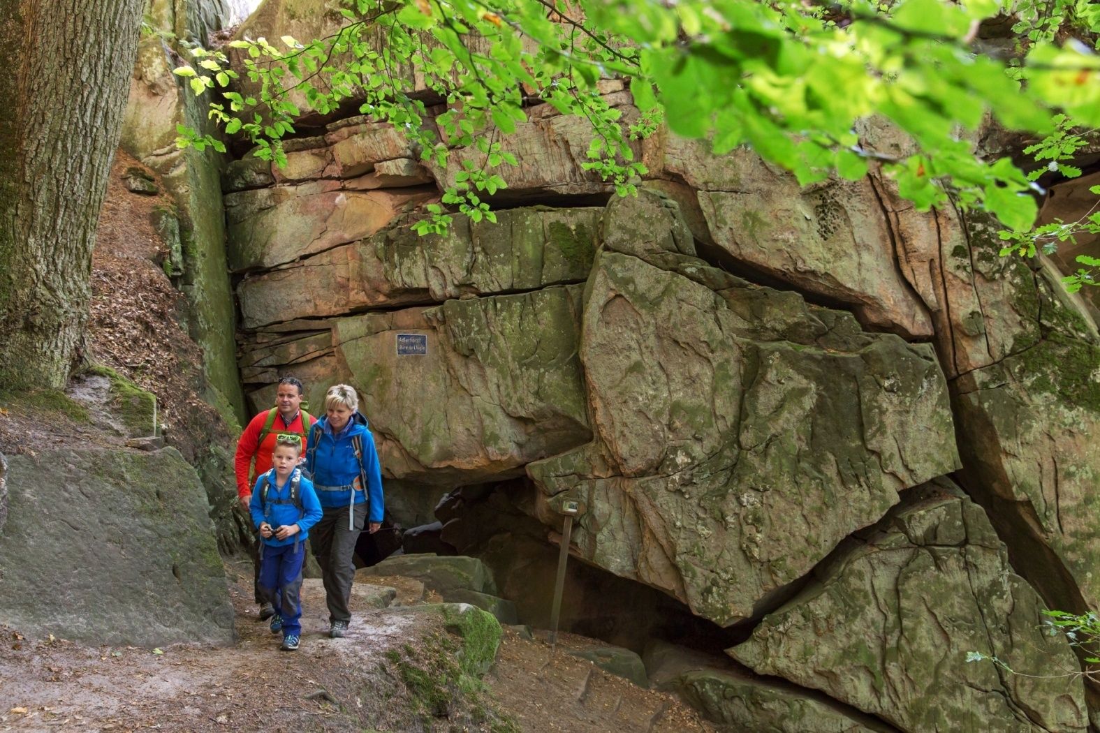
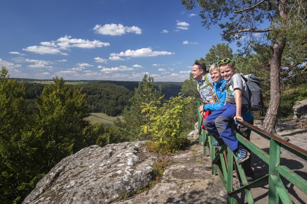
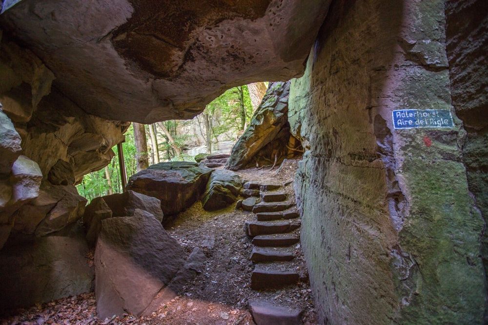
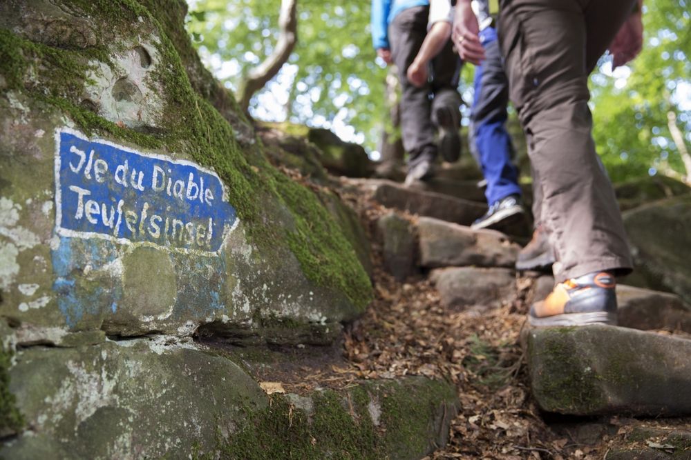
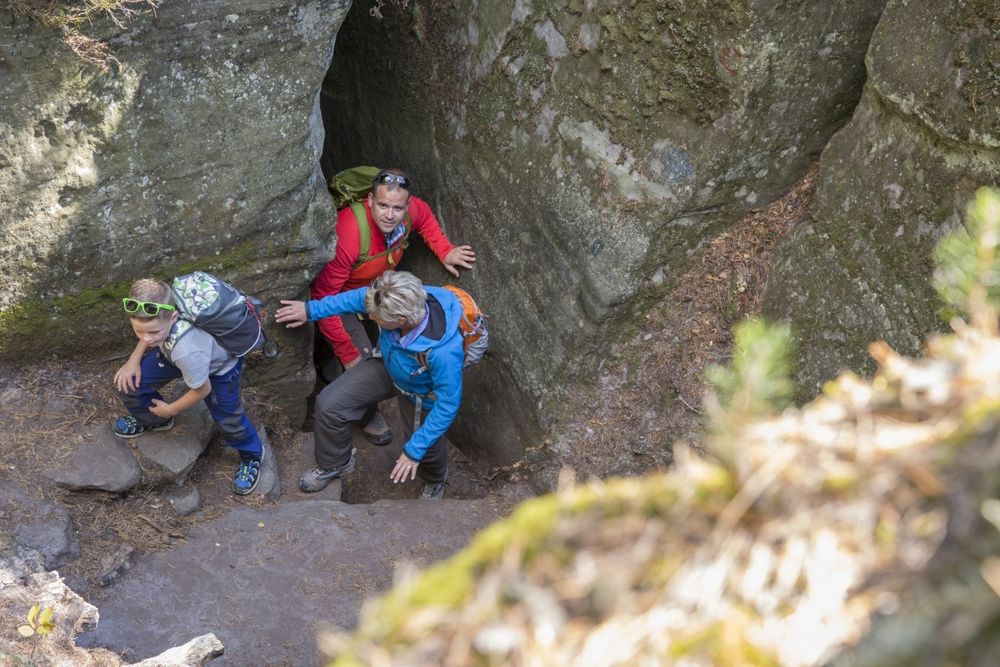
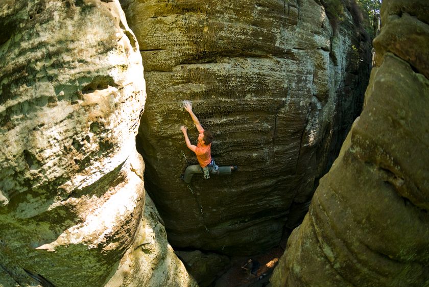
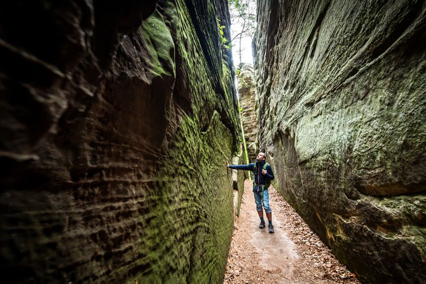
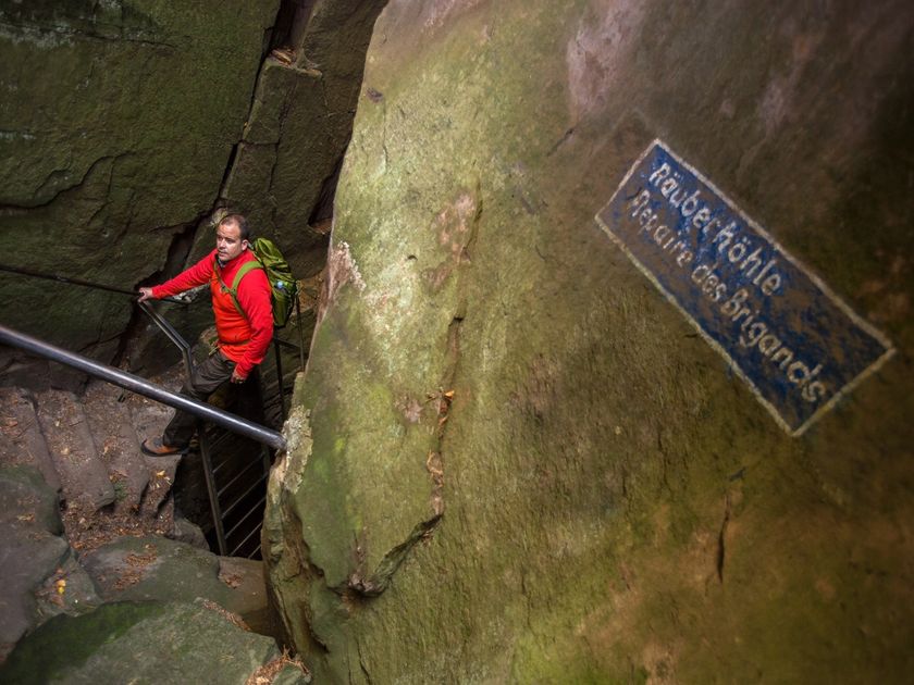
The Wanterbaach-Siweschlëff nature trail leads through the highlights of the Berdorf rock landscape.

The Wanterbaach-Siewenschlöff nature trail connects some of the most impressive rock landscapes in the municipality of Berdorf. Explore the formation of the impressive rock landscapes and curious weathering forms with the help of the accompanying brochure. The brochure is available at the Tourist Information in Berdorf.

Suggestions nearby

Nature Discovery Trail "Wanterbach-Sieweschloeff"

  • © A. Schösser
    Geolandscape "Wanterbaach-Siweschlëff"
    Explore the impressive rock labyrinth amid steep rocky gorges.
    Find out more
  • © ORT MPSL
    Rock climbing Berdorf
    Rock climbing Berdorf
    Find out more
  • Rock formation "Raiberhiel"
    Enter one of the narrowest caves in the region and climb out again via the stairs.
    Find out more
  • © Pancake! Photographie
    Tourist Info Berdorf
    Tourist Info Berdorf
    Find out more

Similar hiking tours

© Tom Barnich, Visit Berdorf
Circular routes
Local hiking trail - B17
Distance: 6,14 km
Duration: 1:40 h
Difficulty: medium
Find out more
© Visit Luxembourg
Thematic paths
Circular hiking trail through the Deiwelskopp nature reserve
Distance: 8,50 km
Duration: 2:27 h
Difficulty: medium
Find out more
© Visit Luxembourg
Thematic paths
Didactic nature path "Joffer Margot"
Distance: 6,88 km
Duration: 2:00 h
Difficulty: medium
Find out more
© Visit Luxembourg
Circular routes
Local hiking route - F2
Distance: 8,21 km
Duration: 2:30 h
Difficulty: medium
Find out more
© Visit Luxembourg
Circular routes
Local hiking route - F4
Distance: 7,60 km
Duration: 2:10 h
Difficulty: medium
Find out more
© Visit Luxembourg
Circular routes
Local hiking trail - W1
Distance: 6,81 km
Duration: 1:47 h
Difficulty: medium
Find out more
© L. Schömer, Visit Luxembourg
Circular routes
Auto-pédestre trail Bollendorf-Pont
Distance: 8,67 km
Duration: 2:40 h
Difficulty: medium
Find out more
© Visit Luxembourg
Circular routes
Auto-Pédestre hiking route Echternach Centre
Distance: 6,71 km
Duration: 2:00 h
Difficulty: medium
Find out more
© ORT MPSL, Visit Luxembourg
Circular routes
Local hiking trail - R8
Distance: 8,71 km
Duration: 2:30 h
Difficulty: medium
Find out more
outdooractive This website uses technology and content from the Outdooractive Platform.