Hunting Season 2026/27 — Check for hunts

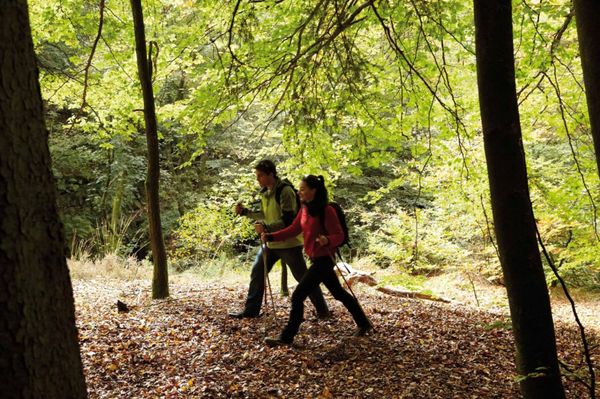
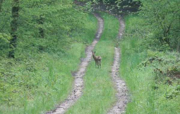
Autumn is here, and that means hunting season has begun! From mid-October to January/February, hunters are active across the country. Stay safe by checking hunt dates in your area on our Map. 

Click on Map in the Header > Services > More > Hunting.

Starting point

Bus stop Rodenbourg, Am Duerf

Destination

Bus stop Rodenbourg, Am Duerf

Distance
8,37 km
Duration
2:12 h
Difficulty
medium
  • Condition
Highest point
345 Hm
Lowest point
252 Hm
Aggregated Ascent
114 Hm
Aggregated Descent
114 Hm
Circular routes Visit Luxembourg

Description

Local hiking trail - J23

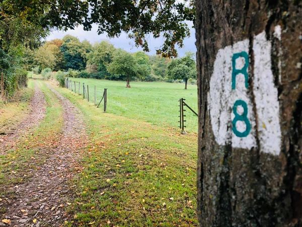
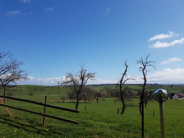
From the starting point in Rodenbourg, the hiking trail runs through a landscape of quiet meadows and fields until the village of Ernster.
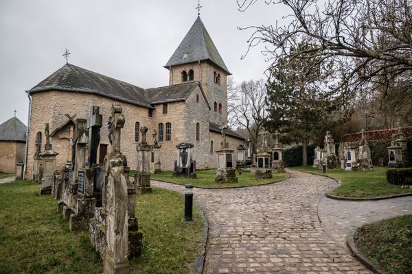
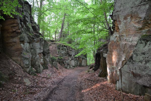
You take the cycle path to Gonderange, from where you can also start the hike. The path leads over a small slope to the elevation of Gehaansräich, past the art gallery and further through a rustic forest. A quiet forest pond invites you to rest before returning to Rodenbourg via a field path.

Suggestions nearby

Local hiking trail - J23

  • Playground - rue de la Gare
    Playground - rue de la Gare
    Find out more
  • Playground - op der Werkspréit
    Playground - op der Werkspréit
    Find out more

Similar hiking tours

©Visit Luxembourg
Circular routes
Auto-pédestre trail Grundhof
Distance: 10,99 km
Duration: 3:15 h
Difficulty: medium
Find out more
©Visit Luxembourg
Circular routes
Local hiking trail - E8
Distance: 6,26 km
Duration: 1:40 h
Difficulty: medium
Find out more
©ORT MPSL , Visit Luxembourg
Circular routes
Local hiking trail - B1
Distance: 10,84 km
Duration: 3:10 h
Difficulty: medium
Find out more
©L. Schömer, Visit Luxembourg
Circular routes
Local hiking trail - B19
Distance: 10,21 km
Duration: 3:05 h
Difficulty: medium
Find out more
©ORT MPSL, Visit Luxembourg
Circular routes
Local hiking trail - R8
Distance: 8,71 km
Duration: 2:30 h
Difficulty: medium
Find out more
©Pancake! Photographie, Visit Luxembourg
Mullerthal Trail - Leading Quality Trails - Best of Europe
Mullerthal Trail Route 1
Distance: 36,74 km
Duration: 10:25 h
Difficulty: medium
Find out more
©Visit Luxembourg
Circular routes
Local hiking trail - B9
Distance: 5,25 km
Duration: 1:30 h
Difficulty: medium
Find out more
©Visit Luxembourg
Circular routes
Local hiking trail - B18
Distance: 4,36 km
Duration: 1:19 h
Difficulty: medium
Find out more
©Visit Luxembourg
Circular routes
Auto-Pédestre hiking trail Junglinster
Distance: 9,17 km
Duration: 2:26 h
Difficulty: medium
Find out more
outdooractive This website uses technology and content from the Outdooractive Platform.